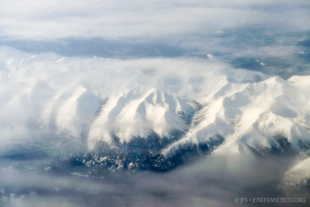
Elevation of Cloudmaker Mountain, Peace River B, BC V0C, Canada
Location: Canada > British Columbia > Peace River > Peace River B >
Longitude: -125.09388
Latitude: 57.7605555
Elevation: 1875m / 6152feet
Barometric Pressure: 81KPa
Elevation Map:
Satellite Map:
Related Photos:
Kwadacha Wilderness Provincial Park

Mölstruk
Topographic Map of Cloudmaker Mountain, Peace River B, BC V0C, Canada
Find elevation by address:

Places near Cloudmaker Mountain, Peace River B, BC V0C, Canada:
Blue Light Peak
Mount Smythe
Lombard Peak
Walsh E
Gautier Peak
Muskwa Peak
Ipec Lake
Muskwa River
Saddleback Peak
Mount Shawcross
Mount Sylvia
Mount Saint Sepulchre
Peak 32-52
South Gathto Creek
Gathto Cr
Mount Gary Powell
Mount Saint Paul
Horseshoe Mountain
Prophet R-muskwa R
Tetsa River Lodge
Recent Searches:
- Elevation of Corso Fratelli Cairoli, 35, Macerata MC, Italy
- Elevation of Tallevast Rd, Sarasota, FL, USA
- Elevation of 4th St E, Sonoma, CA, USA
- Elevation of Black Hollow Rd, Pennsdale, PA, USA
- Elevation of Oakland Ave, Williamsport, PA, USA
- Elevation of Pedrógão Grande, Portugal
- Elevation of Klee Dr, Martinsburg, WV, USA
- Elevation of Via Roma, Pieranica CR, Italy
- Elevation of Tavkvetili Mountain, Georgia
- Elevation of Hartfords Bluff Cir, Mt Pleasant, SC, USA