Elevation of Lobo Trail, Garden Valley, CA, USA
Location: United States > California > El Dorado County > Garden Valley >
Longitude: -120.80102
Latitude: 38.812746
Elevation: 736m / 2415feet
Barometric Pressure: 93KPa
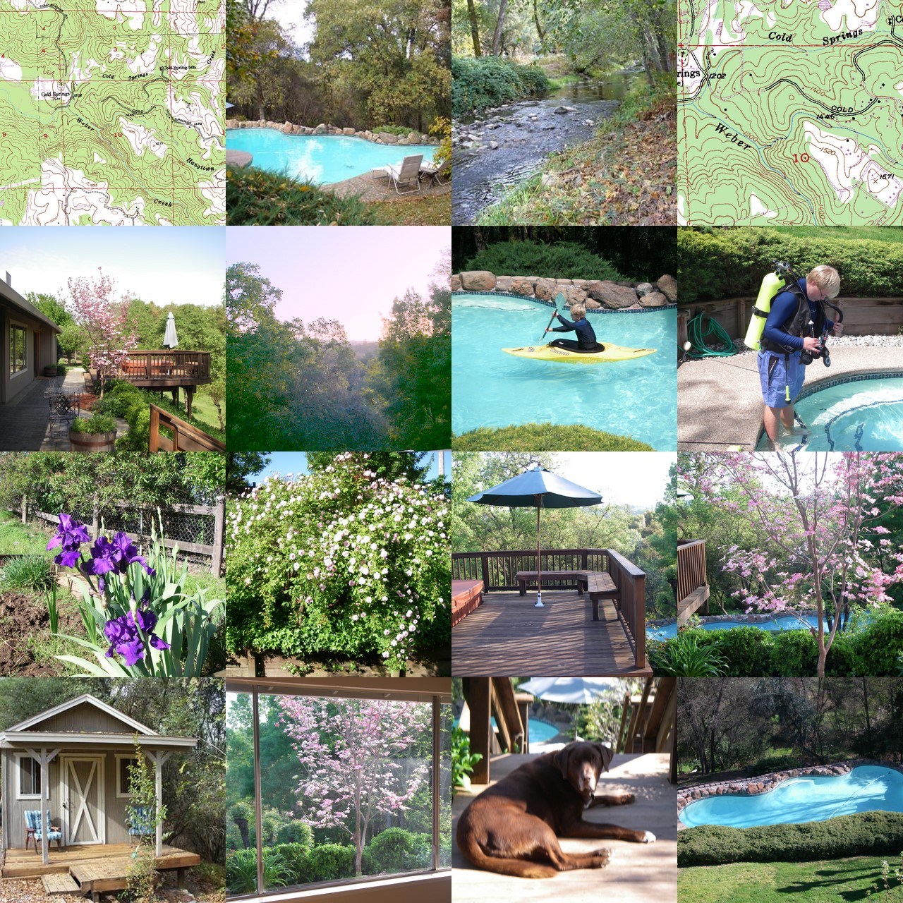
Elevation Map:
Satellite Map:
Related Photos:
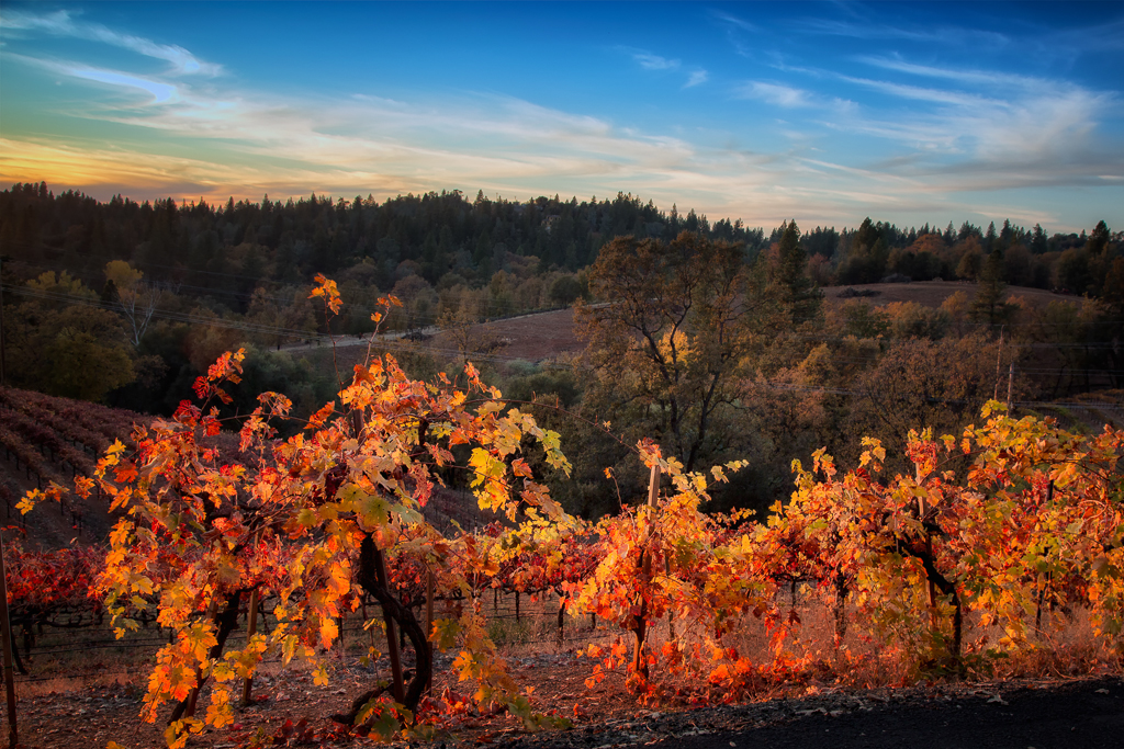
Sunset Vineyard

Robinson's Pharmacy

Oct-11-Apple Hill-4ps
Day 945: ElDorado_9950d
tri-color sky
RV Camping..

Road to the Clouds

Early Morning
Pear Blossom spring
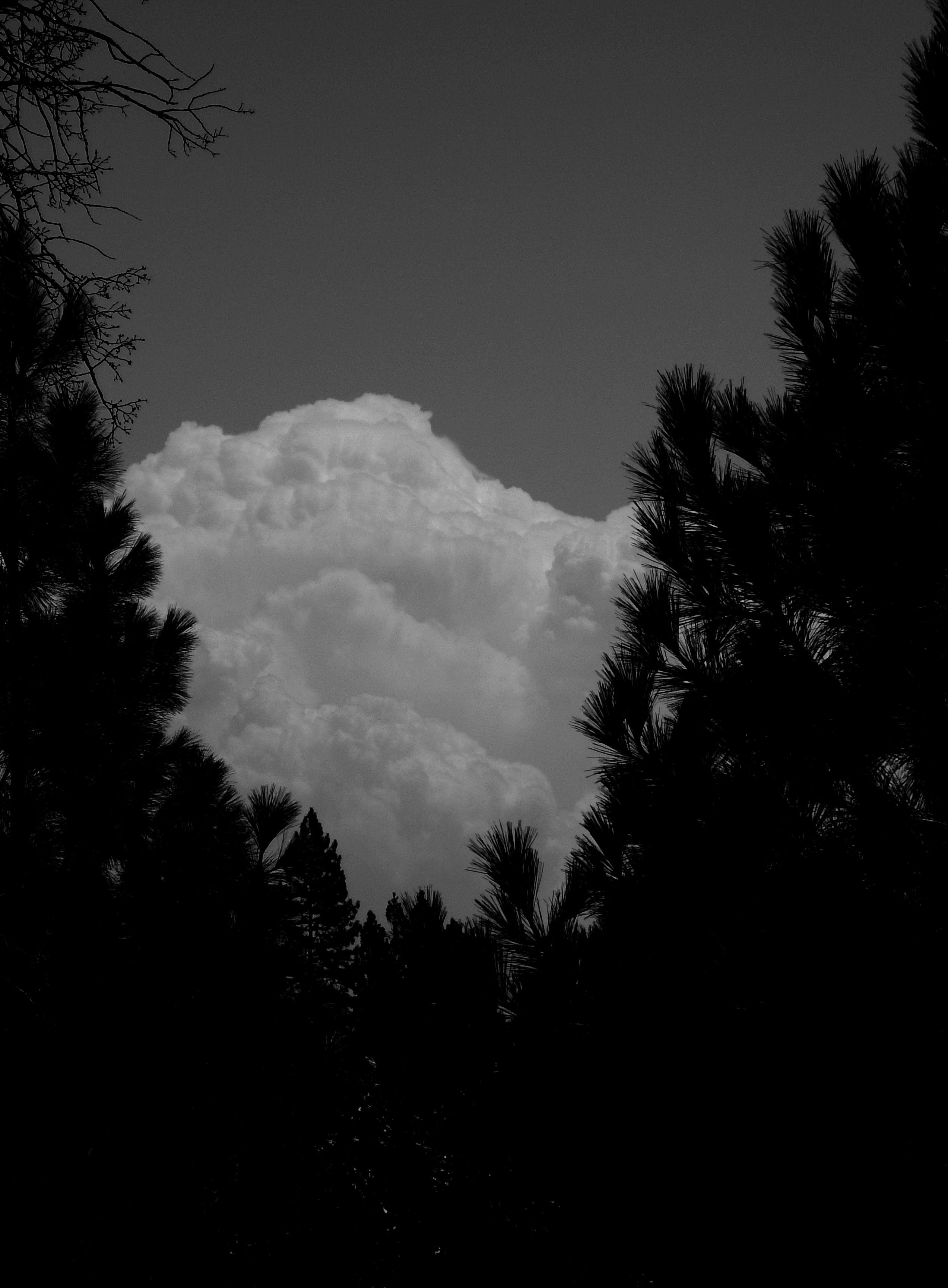
Dark Thunderclouds

Thunderclouds Over the Crest
This place is a Thomas Kincaid Disney wedging cake vineyard with music coming out of rocks and plastic flowers galore with awesome views and vineyard
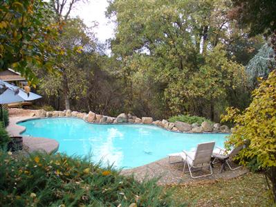
pool view
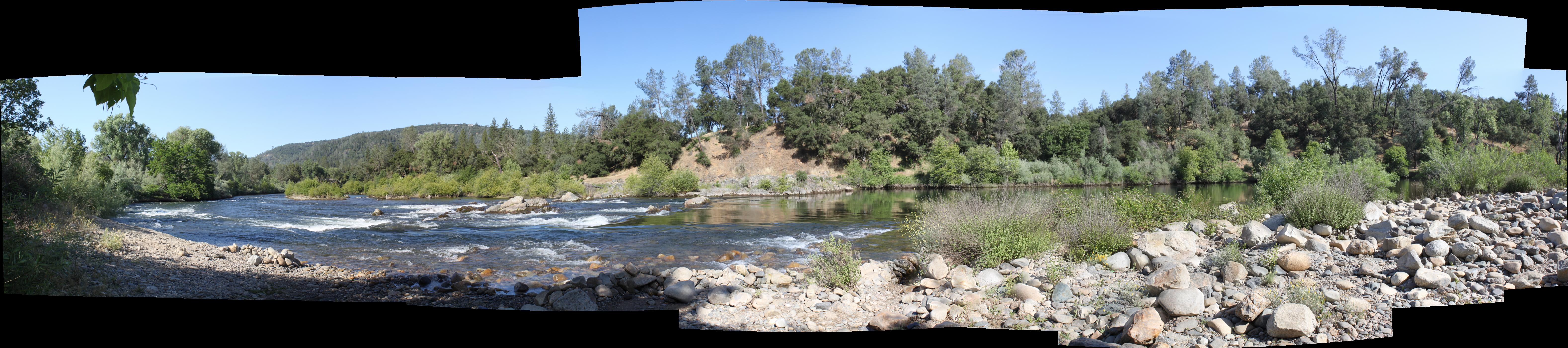
South Fork Panorama

Oct-11-Apple Hill-7ps
View from James Marshal Monument. Marshal Gold Discovery State Historic Park. Coloma, California. December 20, 2012.

sunset last night
Oct-11-Apple Hill-2ps
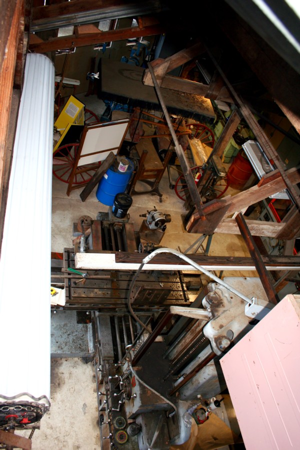
El Dorado Western machine shop
side yard view
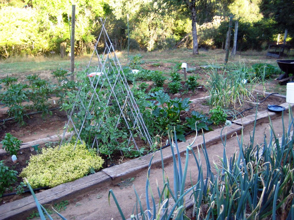
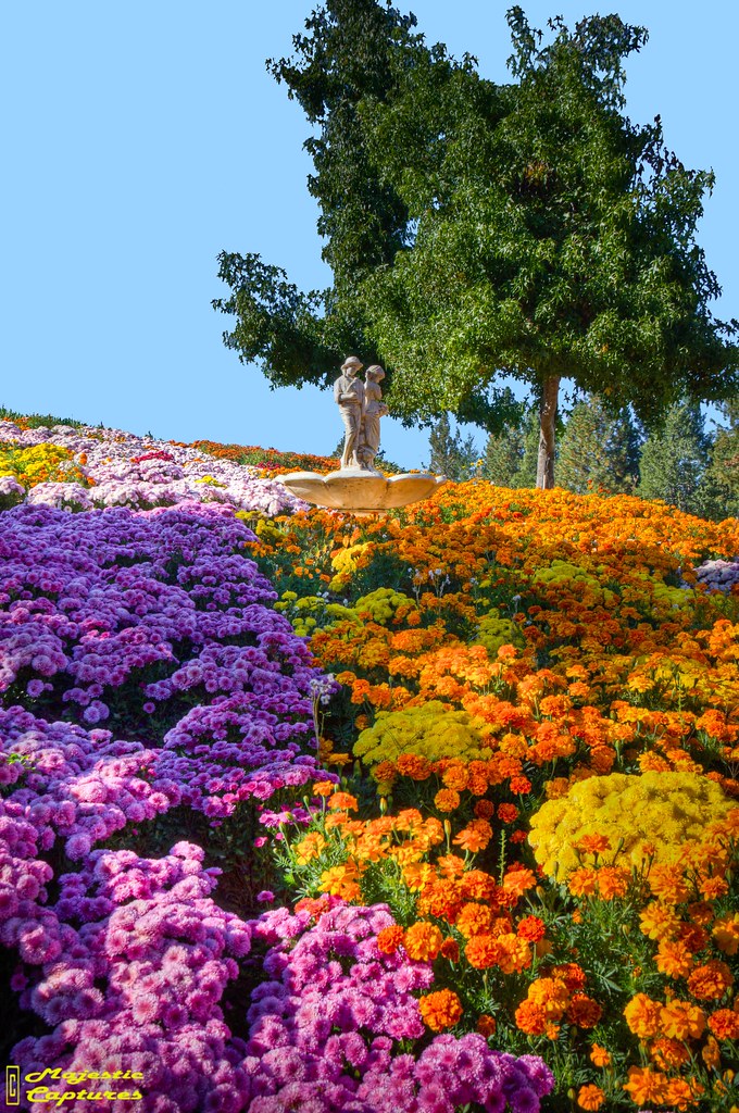
Another view of the July garden
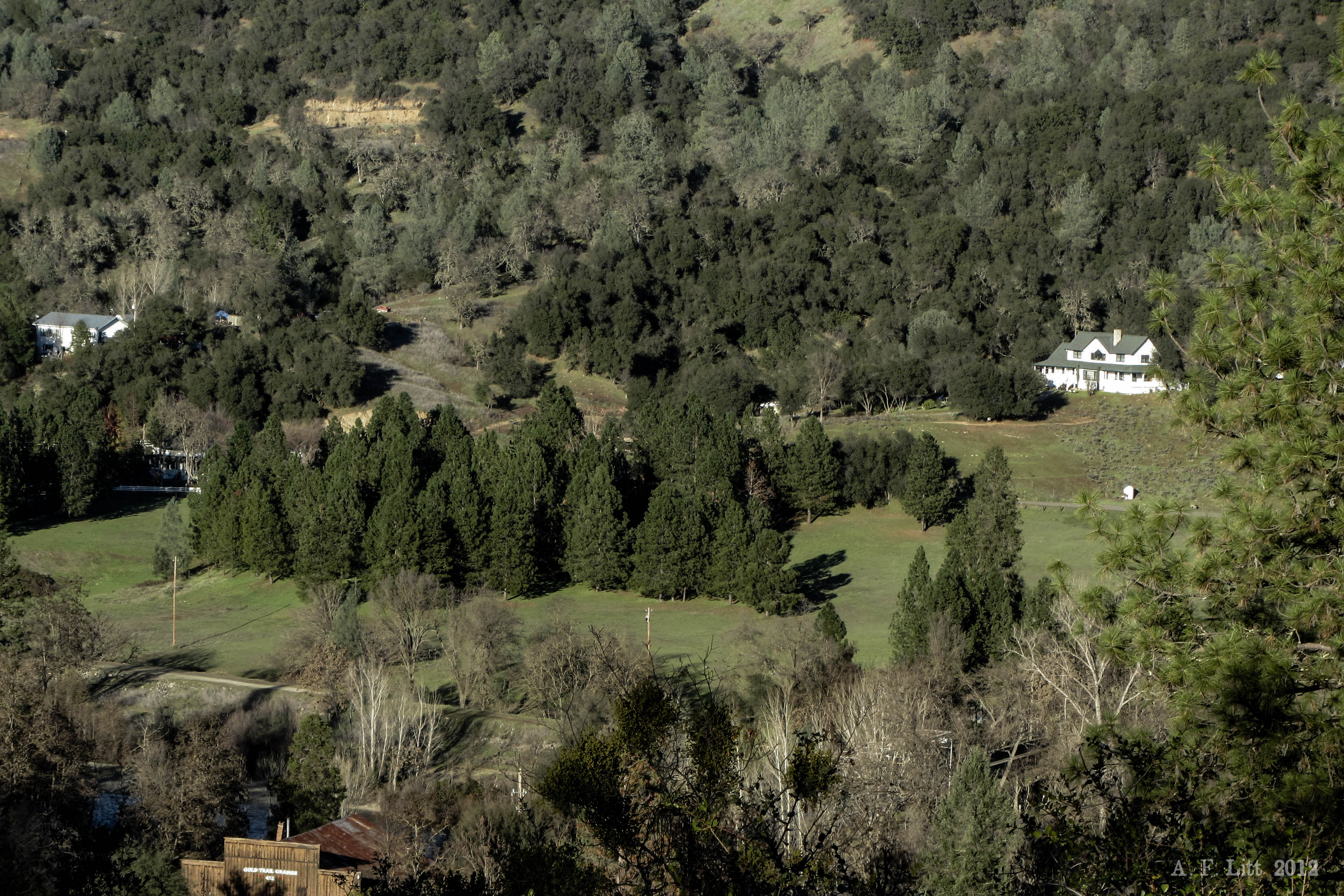
Audubon Hills Camino CA.
Audubon Hills Camino CA.
Audubon Hills Camino CA.

Magnolia Ranch trailhead

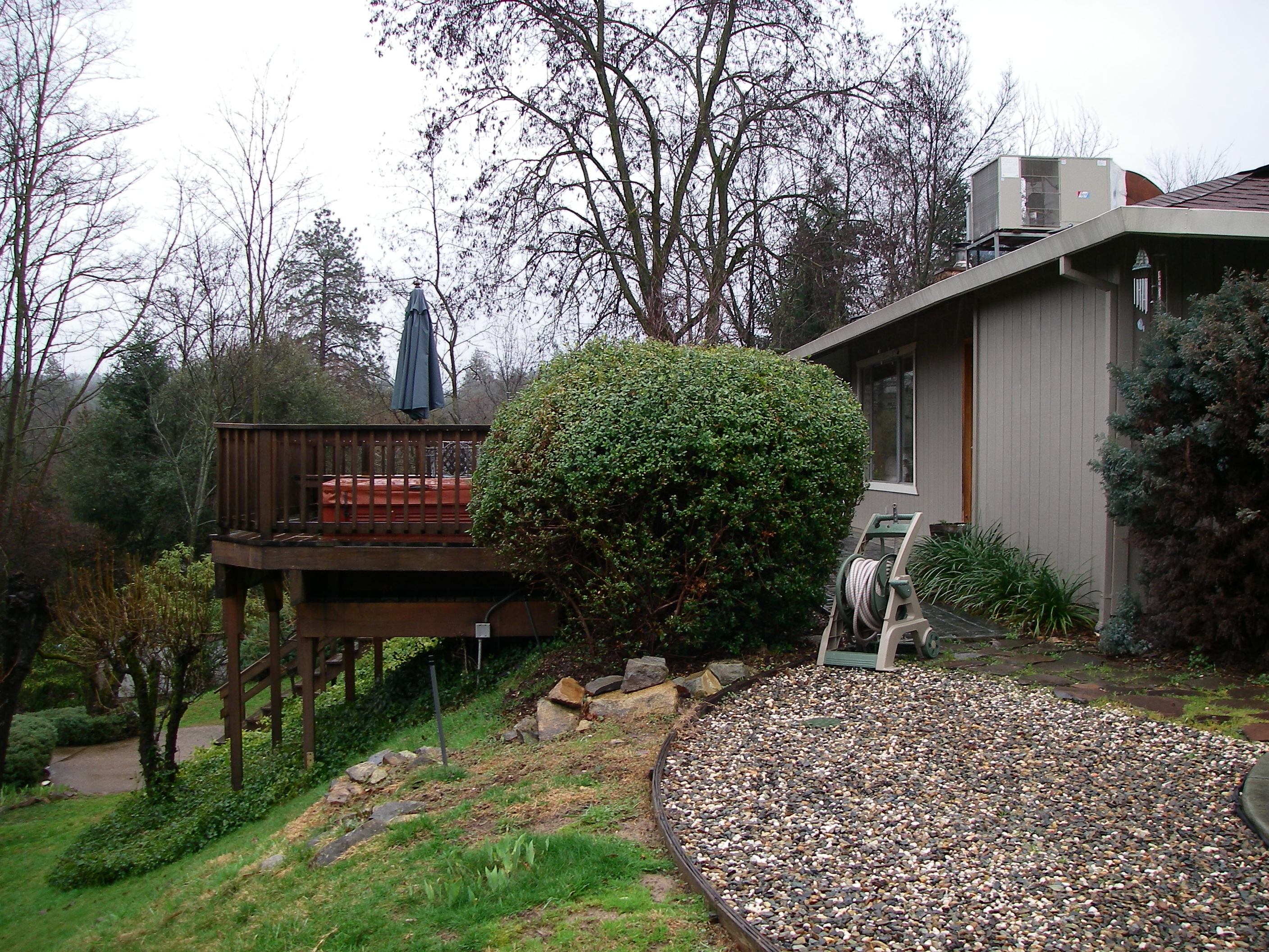
Hell in our backyard
Iowa Creek

Morning on the river.
Boeger Winery in the Fall
finding gold in the valley of Coloma
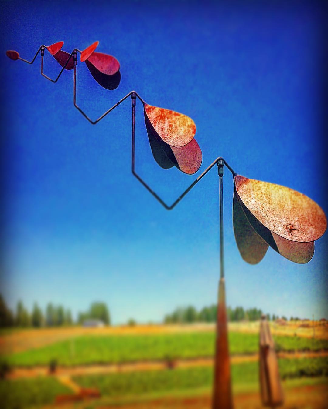
#lavacapwinery #sculpture #kinetic #scenic #landscape #art #photoart
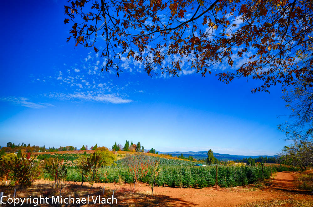
Apple Hill
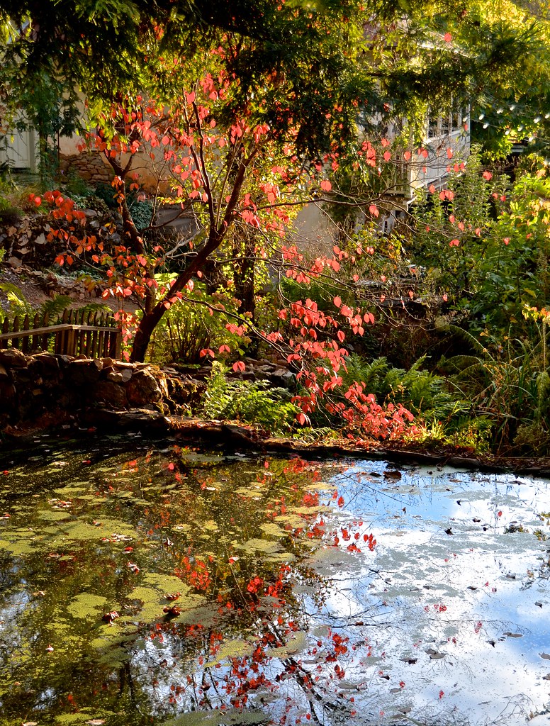
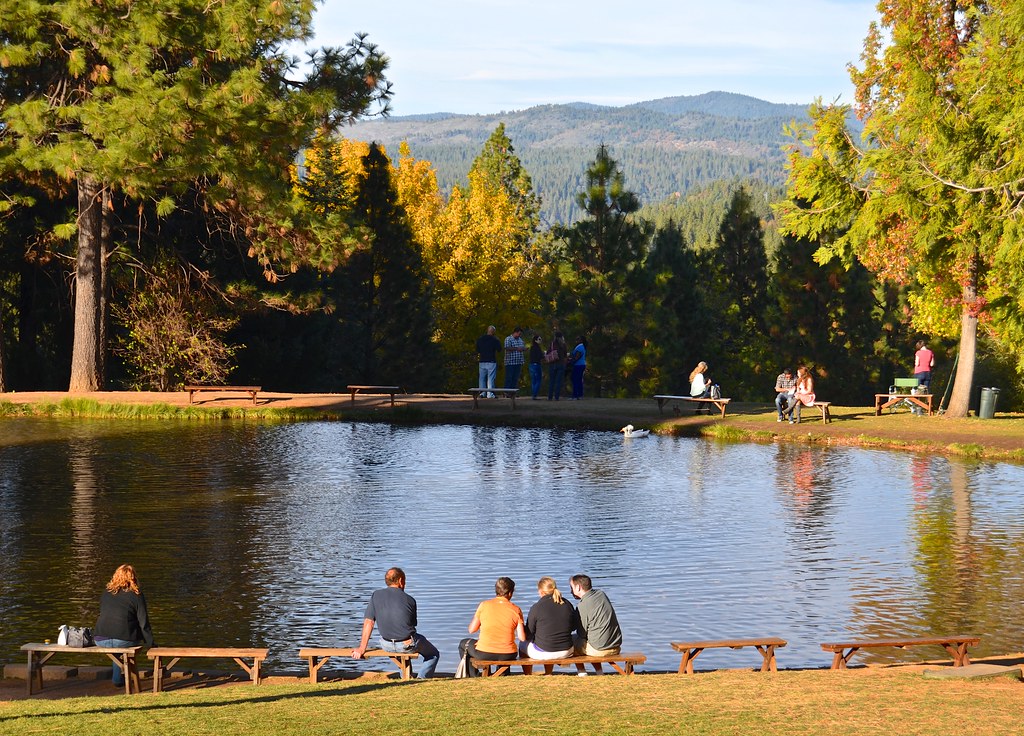
Boeger Winery pond
Forty Acres and a Mule
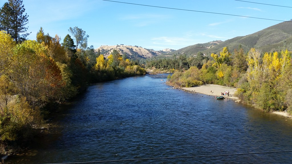
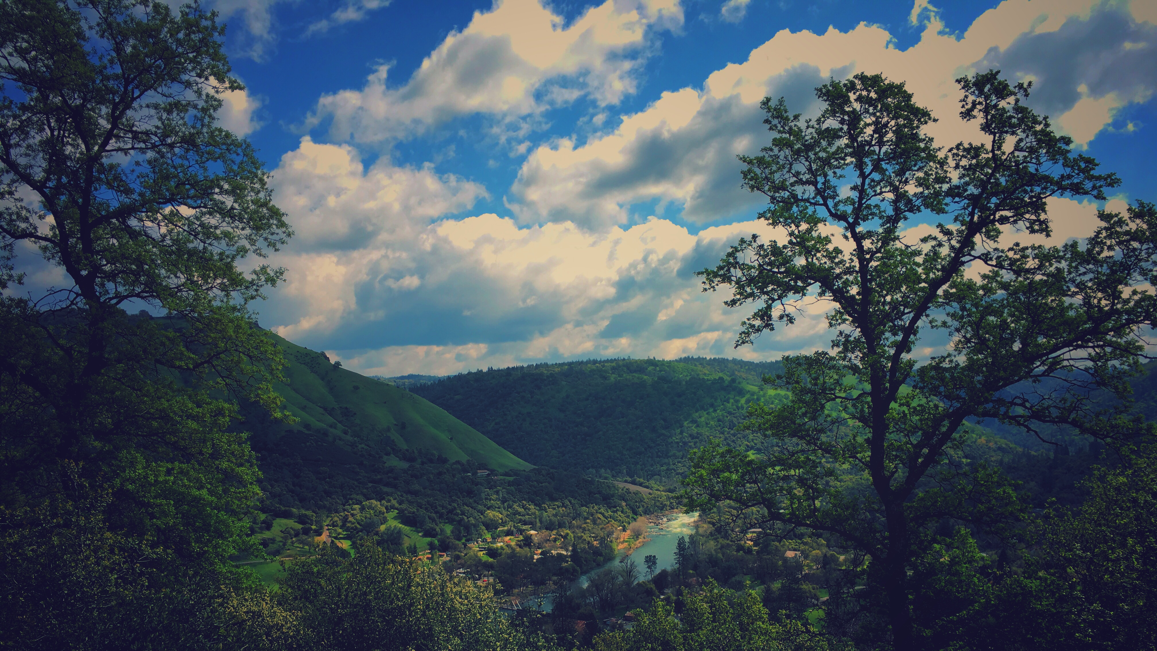
American River

#vineyard #landscape #sky #green #patterns #horizon
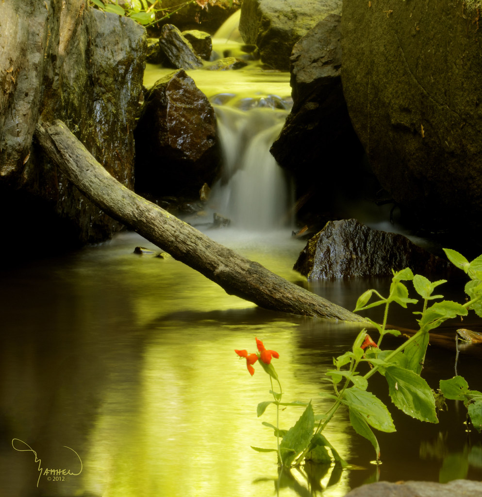
Fish Pond, High Hill
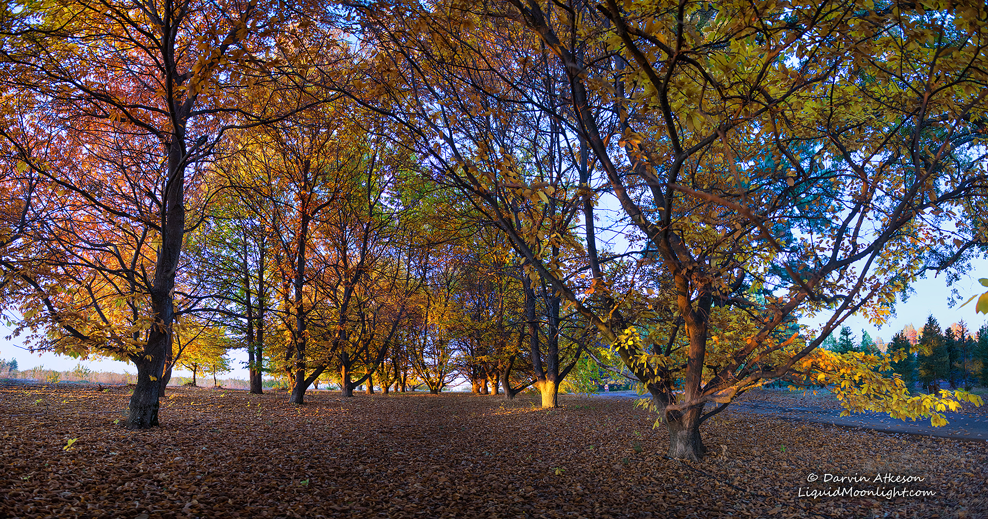
Chestnut Grove in Autumn Colors
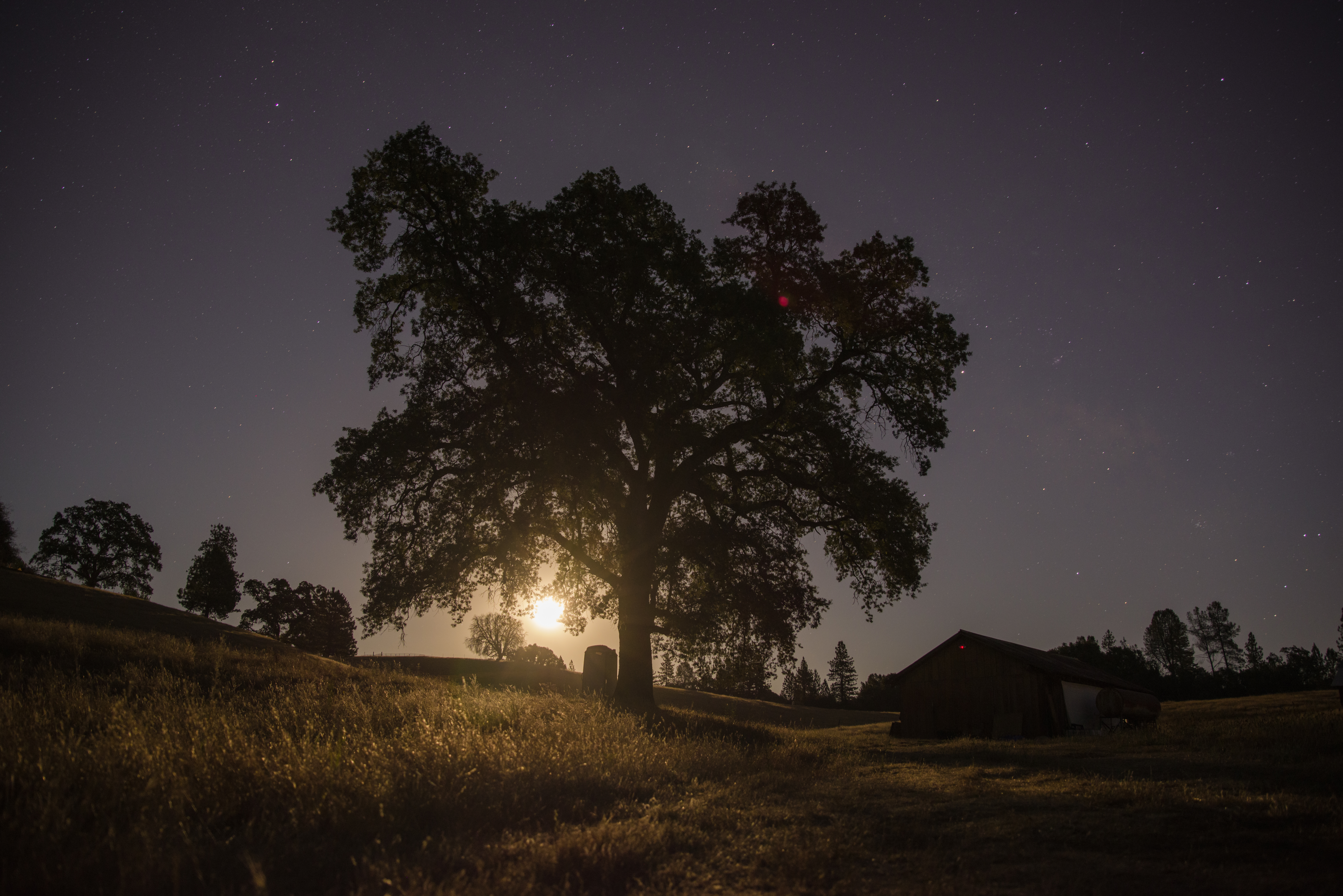
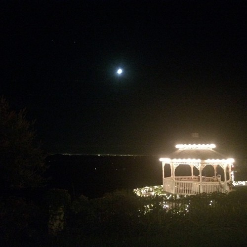
Midnight Moonrise

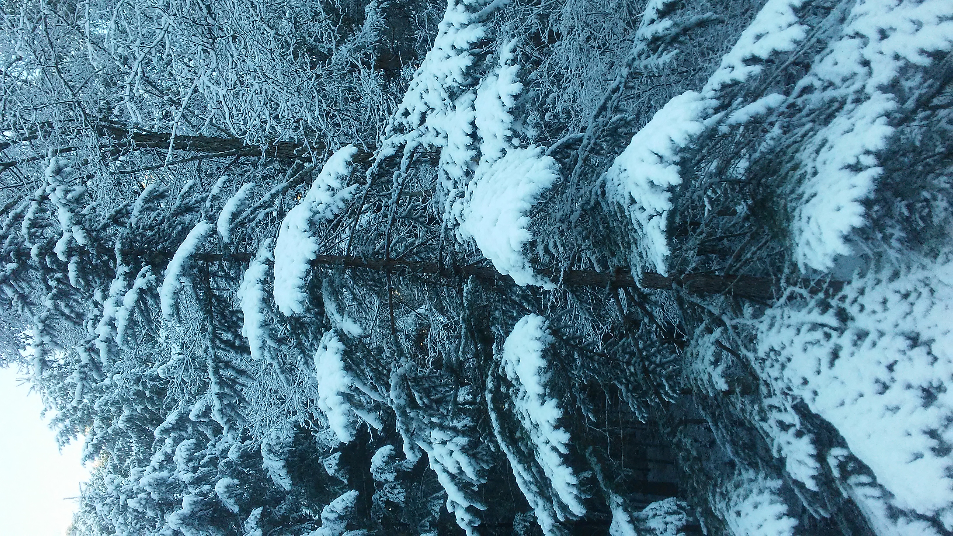
Perfect lil Christmas trees
Topographic Map of Lobo Trail, Garden Valley, CA, USA
Find elevation by address:

Places near Lobo Trail, Garden Valley, CA, USA:
4680 Lobo Trail
6561 White Cloud Rd
5587 Spanish Flat Rd
Georgetown Rd, Placerville, CA, USA
Kelsey
Light Canyon Road
6241 Garden Valley Rd
7900 Texas Canyon Rd E
6500 Bear Creek Rd
Porter Ranch Road
6361 Bear Creek Rd
6500 Kelsey Canyon Rd
12585 Rock Creek Rd
6901 Garden Park Dr
6901 Garden Park Dr
6901 Garden Park Dr
6901 Garden Park Dr
6464 Pikes Peak Cir
5305 Hackomiller Rd
6143 San Gorgonio Ct
Recent Searches:
- Elevation of Corso Fratelli Cairoli, 35, Macerata MC, Italy
- Elevation of Tallevast Rd, Sarasota, FL, USA
- Elevation of 4th St E, Sonoma, CA, USA
- Elevation of Black Hollow Rd, Pennsdale, PA, USA
- Elevation of Oakland Ave, Williamsport, PA, USA
- Elevation of Pedrógão Grande, Portugal
- Elevation of Klee Dr, Martinsburg, WV, USA
- Elevation of Via Roma, Pieranica CR, Italy
- Elevation of Tavkvetili Mountain, Georgia
- Elevation of Hartfords Bluff Cir, Mt Pleasant, SC, USA