Elevation of Littleville, Chester, MA, USA
Location: United States > Massachusetts > Hampden County > Chester >
Longitude: -72.890353
Latitude: 42.2875157
Elevation: 160m / 525feet
Barometric Pressure: 99KPa
Elevation Map:
Satellite Map:
Related Photos:

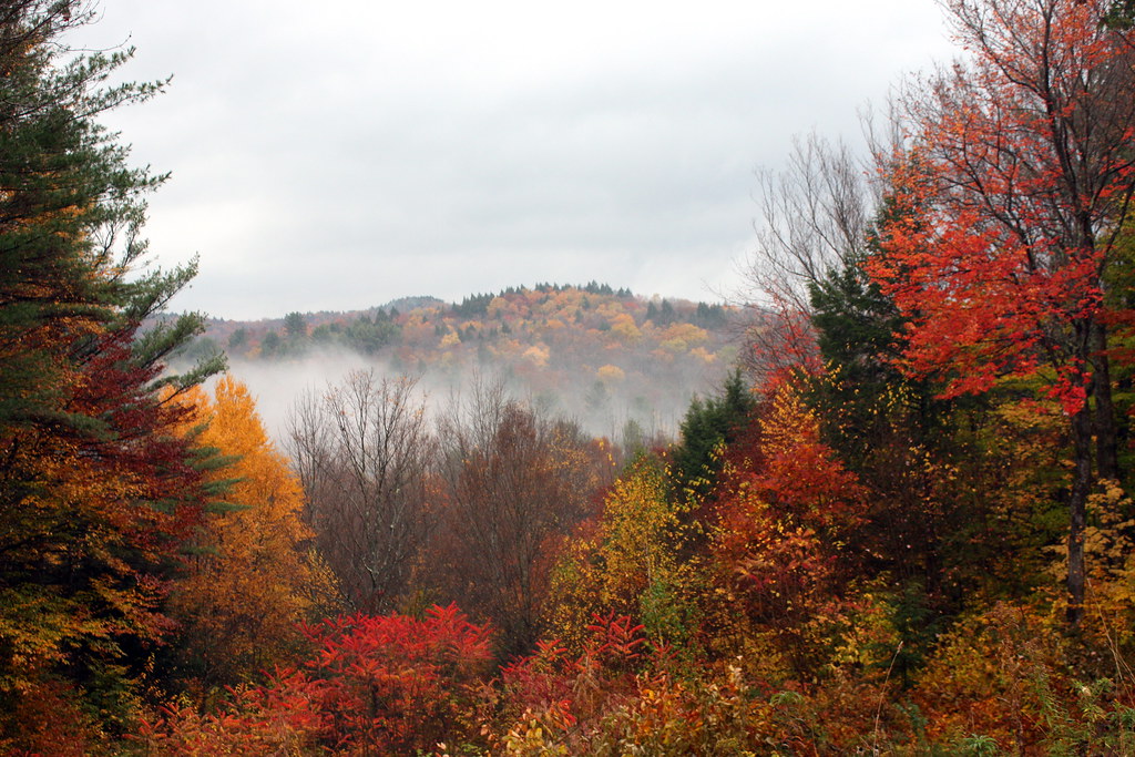
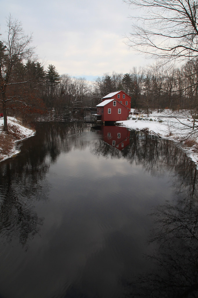
Let there be Clouds
Leaf Me Alone
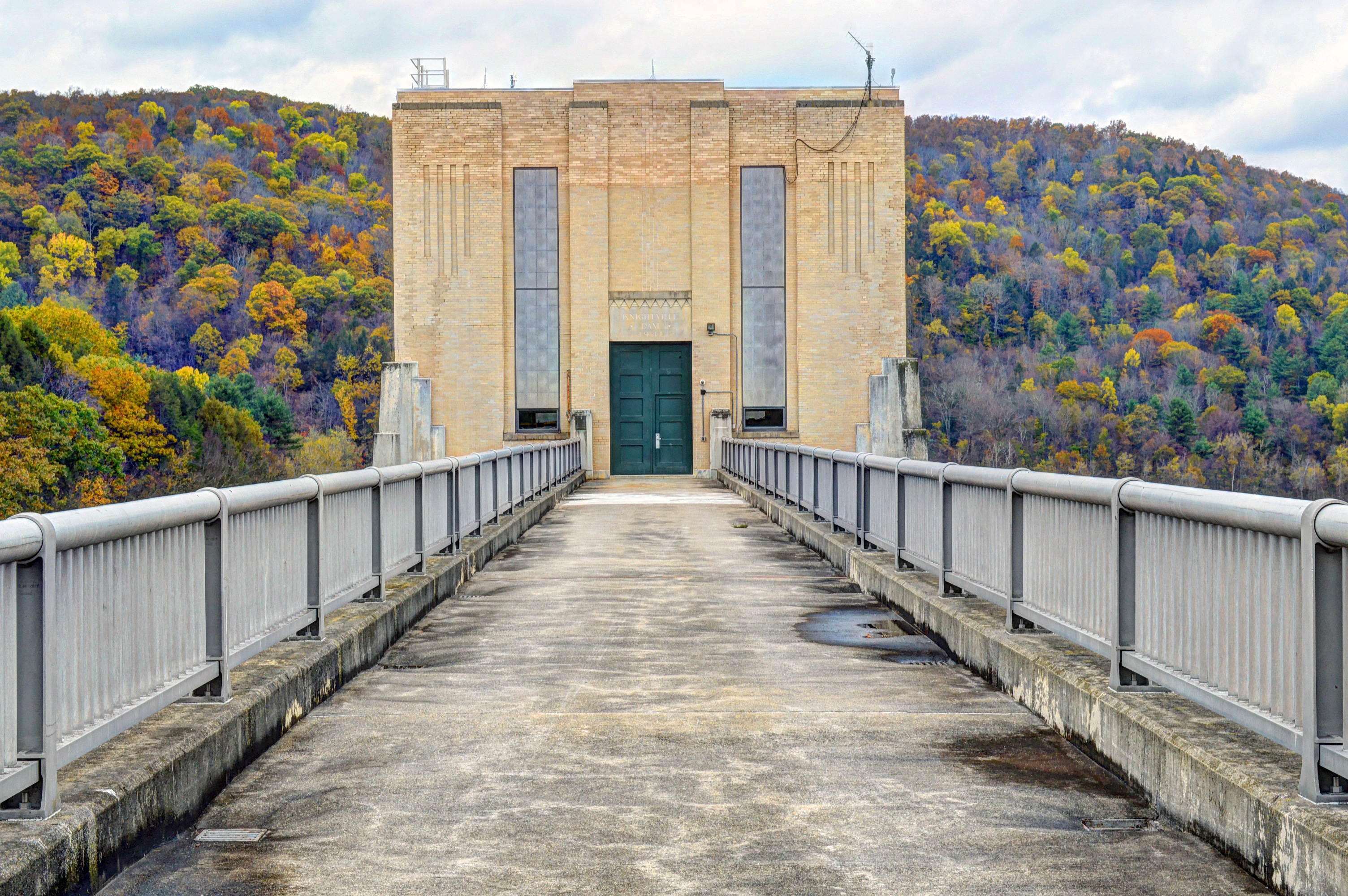
Knightville Dam
Climb toward the Sun
Woodland Pool
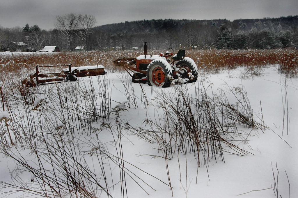
The Harsh Reality of Winter

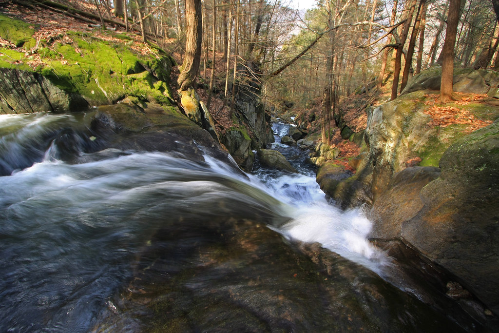
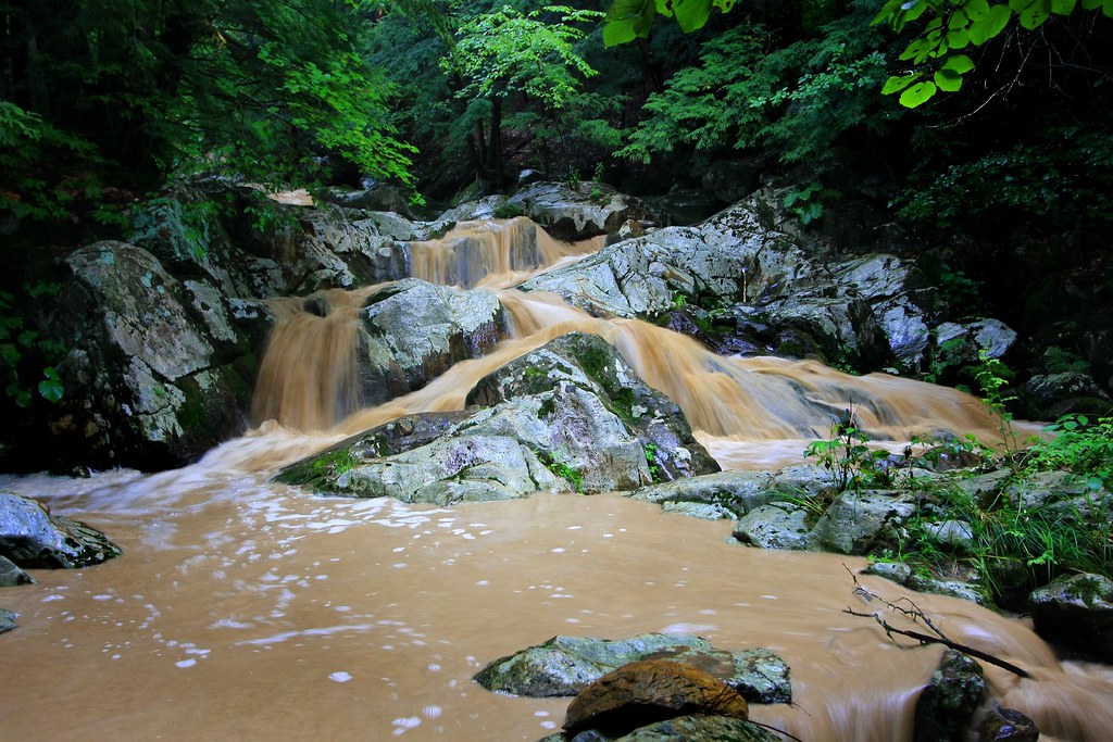
Spring Runoff
The Point of No Return
Way Up There
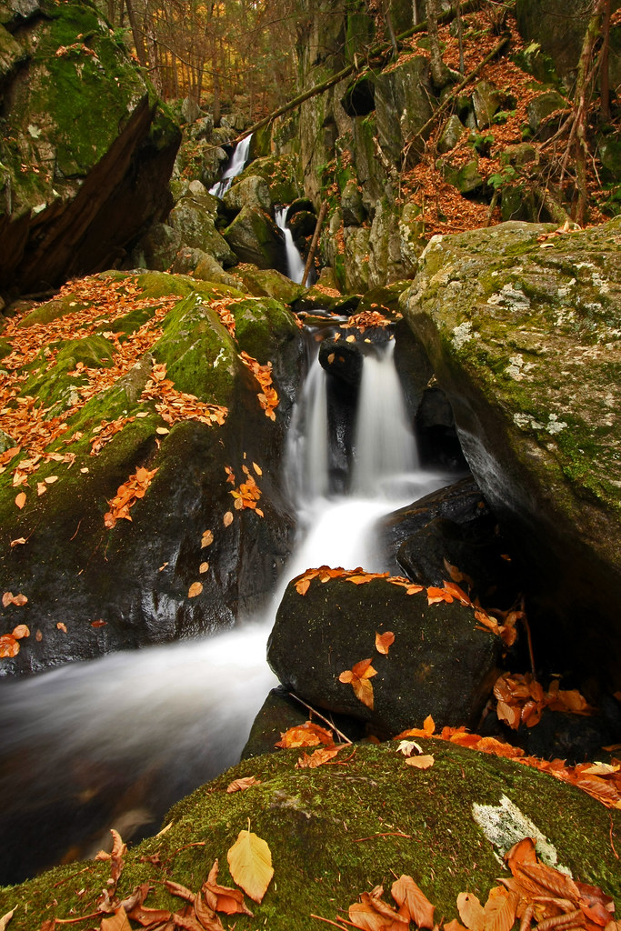
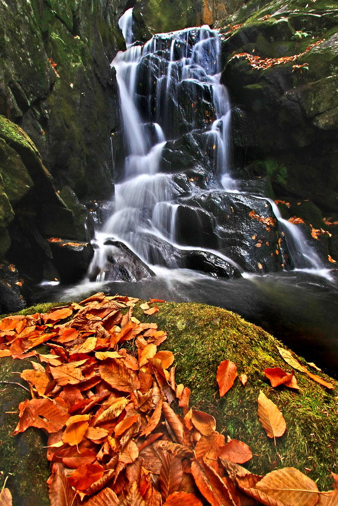
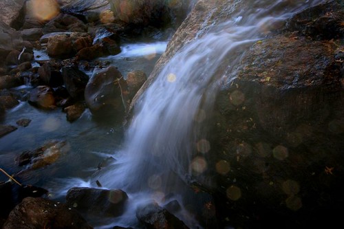
Tumble, Tumble
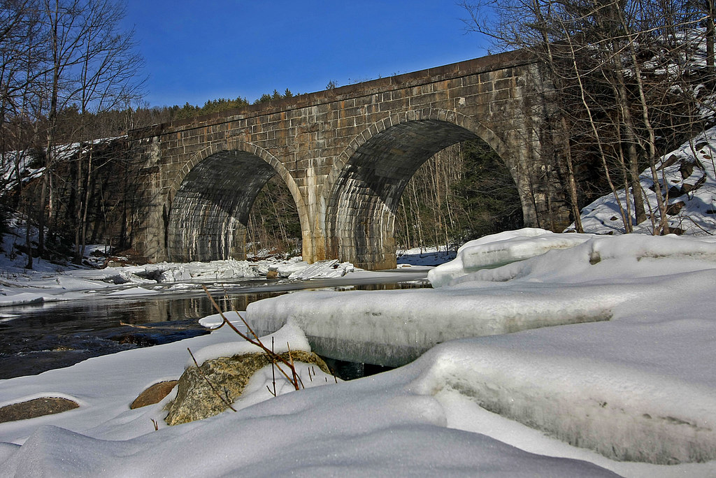
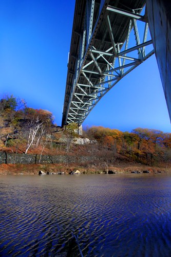
Double Arch

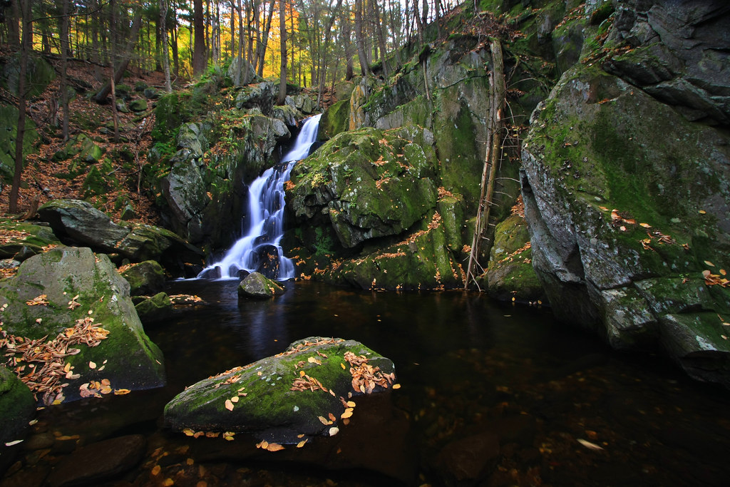
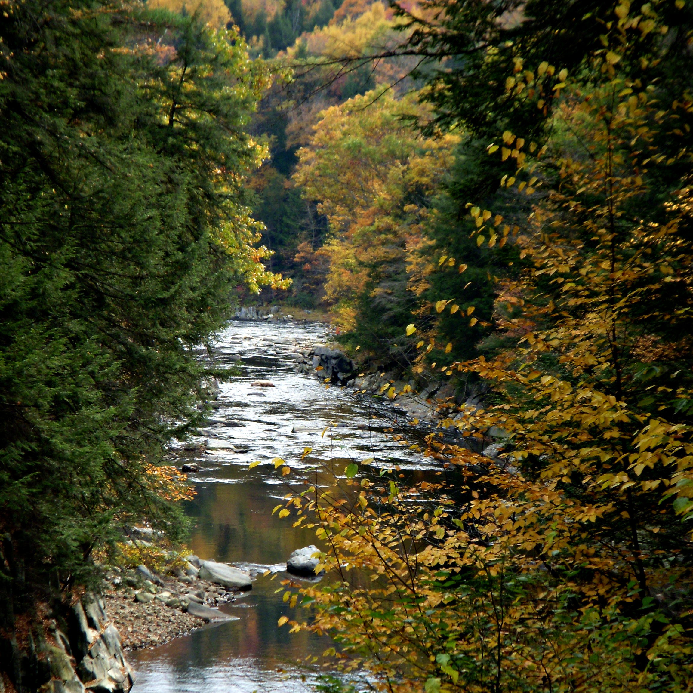
Chesterfield Gorge
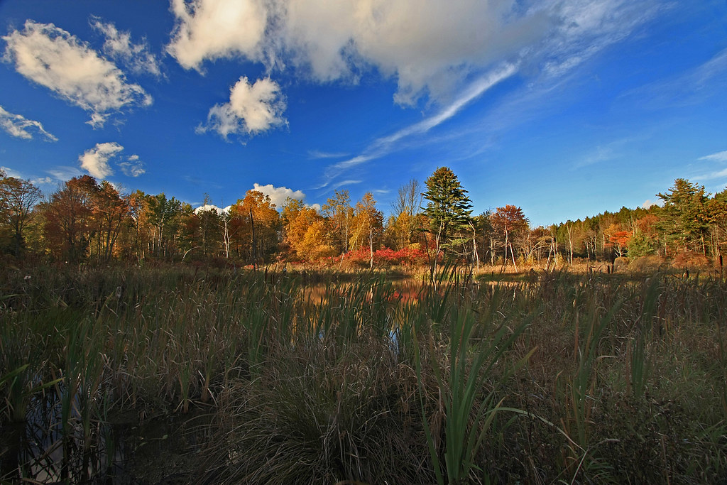
Beyond the Rushes
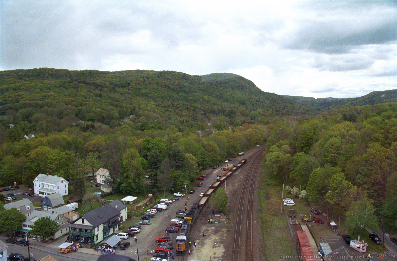
Aerial View
Fairies in the Falls
Clark Hill in Worthington, Massachusetts
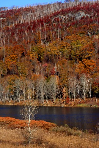
Red, White & Russet
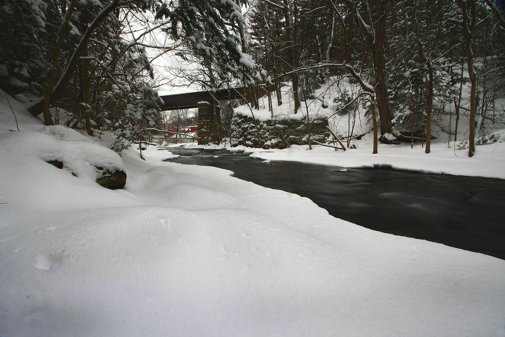
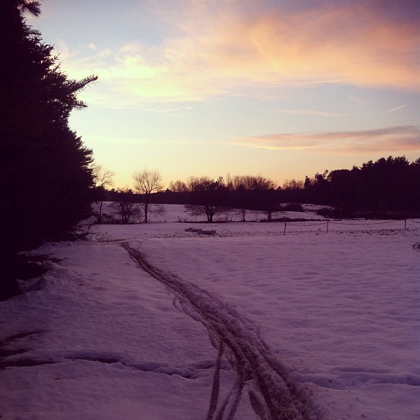
Cutting a Path Through the Snow

view of the Mass Pike from Tekoa Mountain
Chocolate Milk, Anyone?
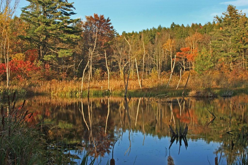
Reflections in the Pond
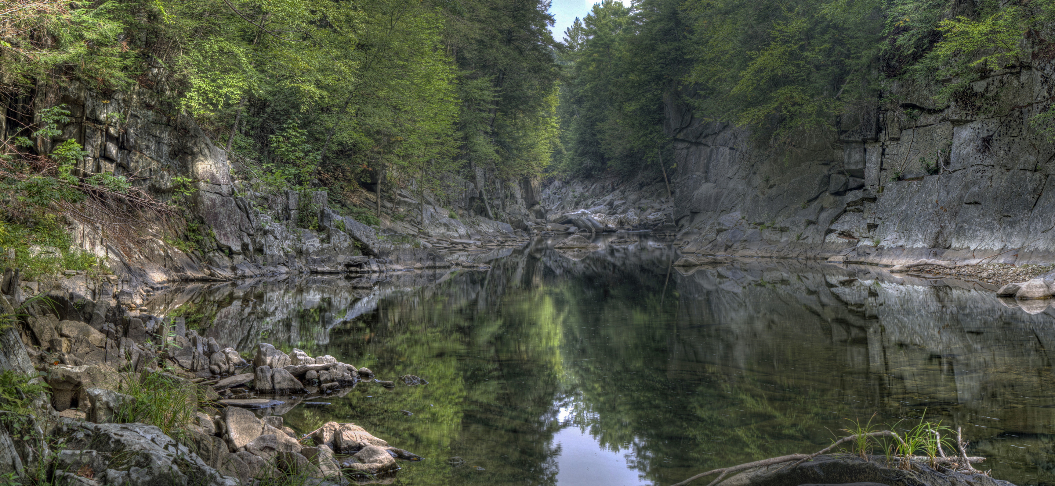
Chesterfield Gorge
Going West in the Berkshires
WB_22A #2 IMG_20180531_105902
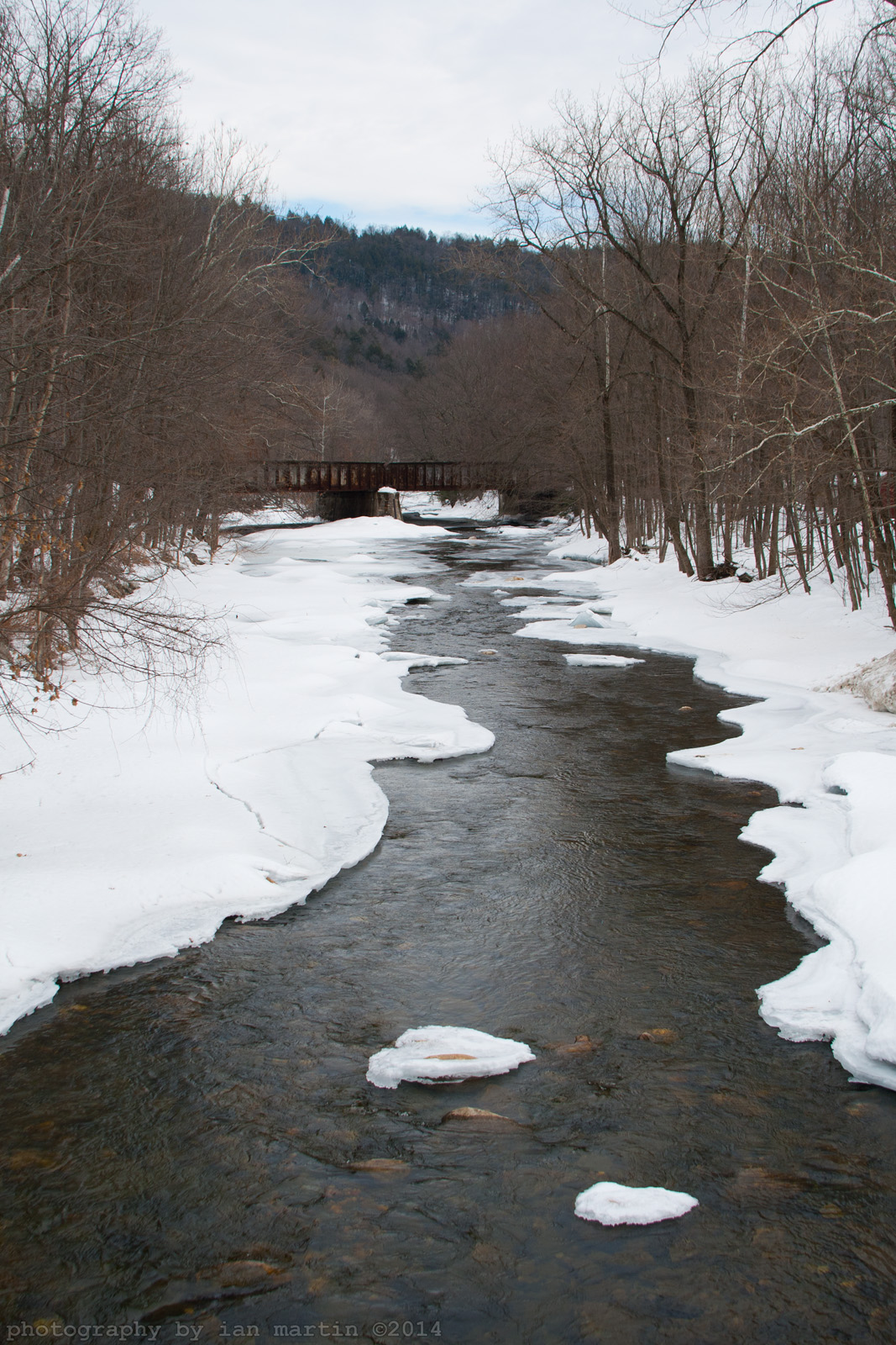
Refections on a Winter's day
Chesterfield Gorge

Lap 2

Lake.

DSC_0932 - Version 2

Colored River

Shatterack Mountain, Massachusetts
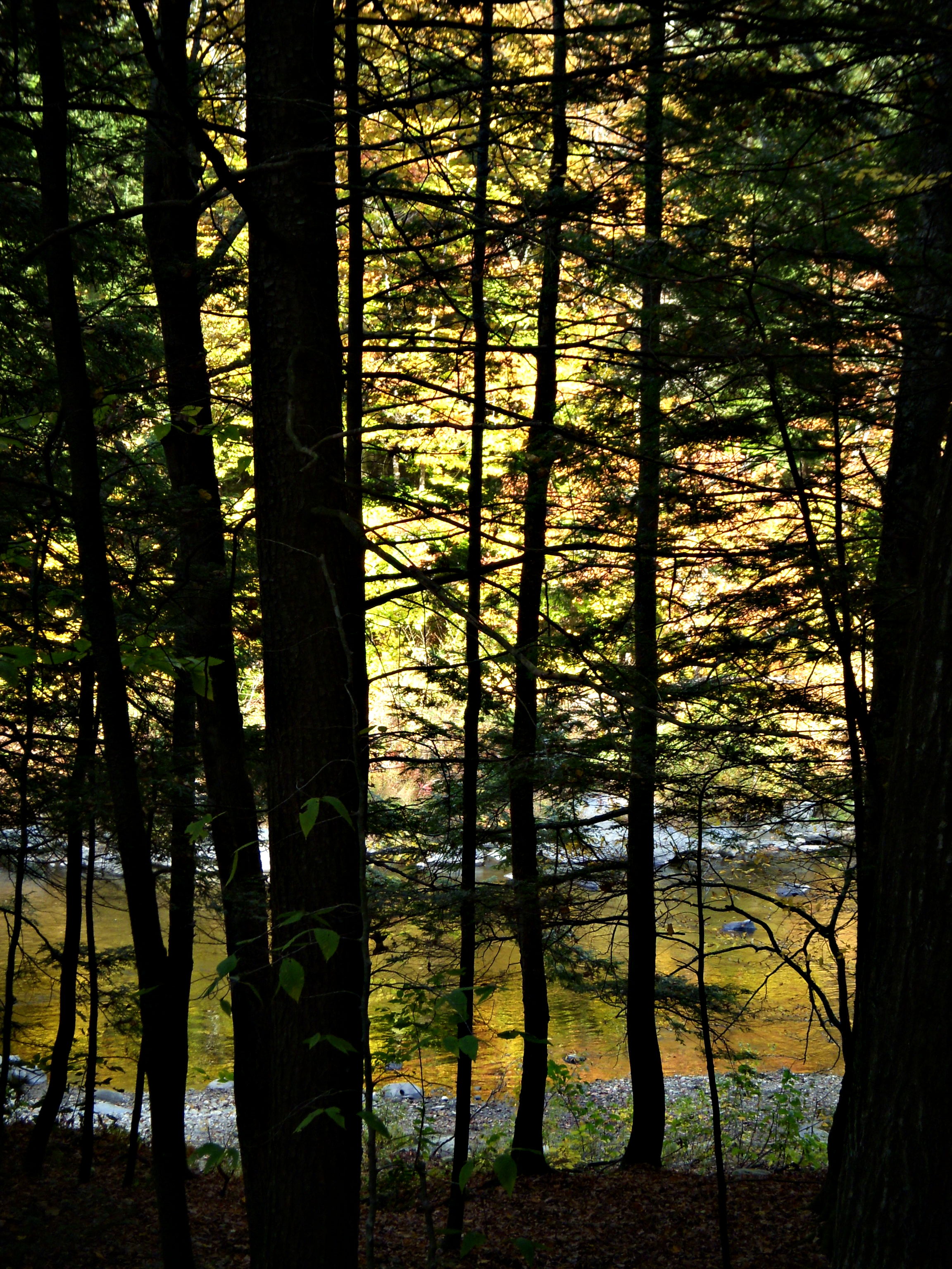
Light and Dark
WB_25 #6 IMG_20180711_131425

Shatterack Mountain, Massachusetts

The going gets steep.
It's a winter sport. #cx

Quarries Aura
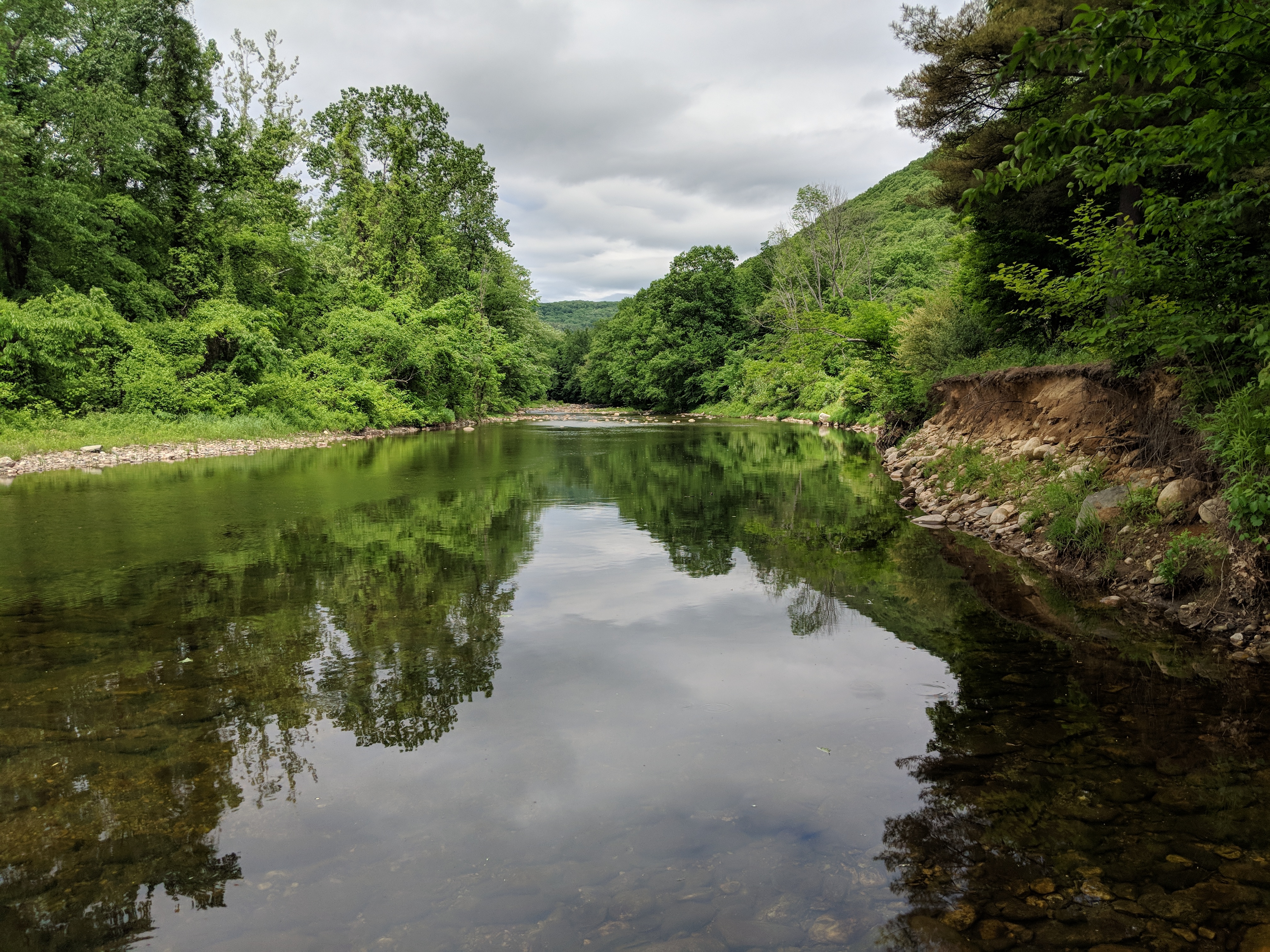
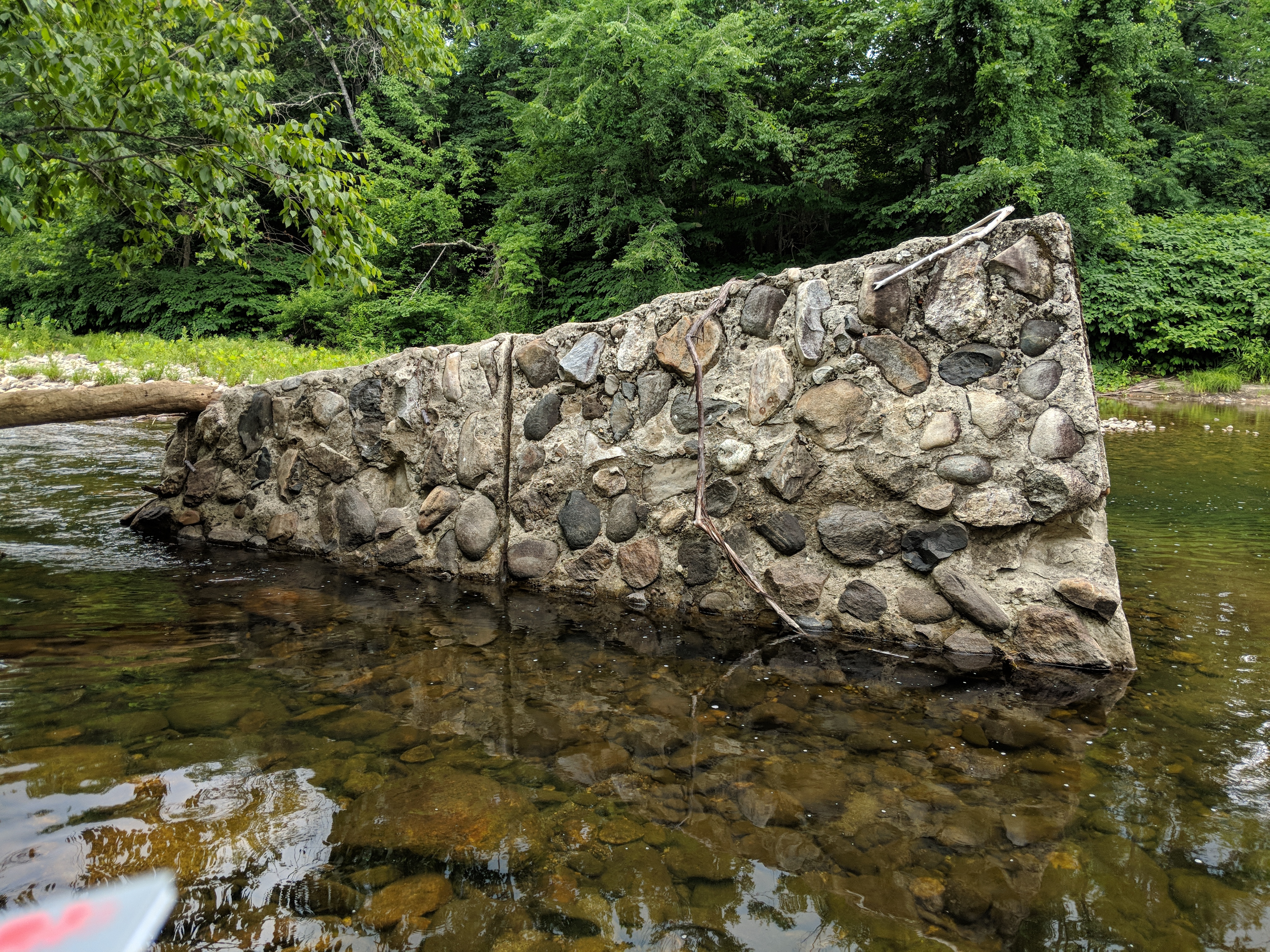
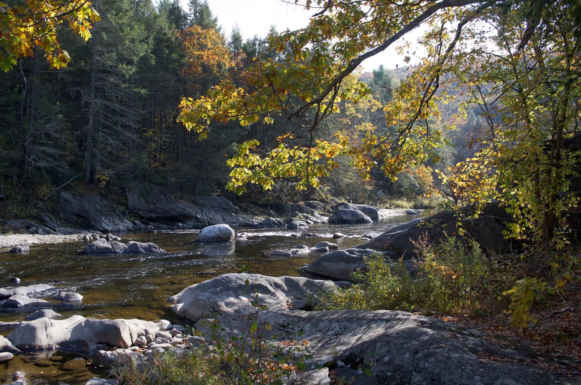
West Branch, Westfield River

West Branch, Westfield River
IMGP0410.jpg
Topographic Map of Littleville, Chester, MA, USA
Find elevation by address:

Places near Littleville, Chester, MA, USA:
22 Nagler Cross Rd
13 E River Rd
4 Higgins Rd
251 Skyline Trail
208 Skyline Trail
Maynard Road
Maynard Road
Kinnebrook Road
11 Skyline Trail
E River Rd, Chester, MA, USA
Crane Road
464 Skyline Trail
31 Basket St
County Road
33 Church Rd
7 Basket St
115 County Rd
Huntington
106 Pond Brook Rd
Fisk Road
Recent Searches:
- Elevation of Corso Fratelli Cairoli, 35, Macerata MC, Italy
- Elevation of Tallevast Rd, Sarasota, FL, USA
- Elevation of 4th St E, Sonoma, CA, USA
- Elevation of Black Hollow Rd, Pennsdale, PA, USA
- Elevation of Oakland Ave, Williamsport, PA, USA
- Elevation of Pedrógão Grande, Portugal
- Elevation of Klee Dr, Martinsburg, WV, USA
- Elevation of Via Roma, Pieranica CR, Italy
- Elevation of Tavkvetili Mountain, Georgia
- Elevation of Hartfords Bluff Cir, Mt Pleasant, SC, USA