Elevation of County Rd, Huntington, MA, USA
Location: United States > Massachusetts > Hampshire County > Huntington >
Longitude: -72.838370
Latitude: 42.2752685
Elevation: 328m / 1076feet
Barometric Pressure: 97KPa
Elevation Map:
Satellite Map:
Related Photos:

Pitcher Rd ~ Montgomery MA

Mailbox with a view ~ Explored

Looking east from Pitcher Rd ~ Montgomery
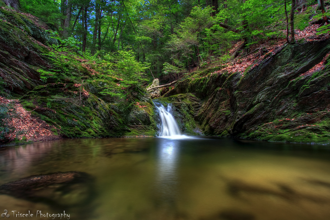
Little Pitcher Falls

Little Pitcher Falls Part 2

House w a great view...

View from the bridge...

My first view of Littleville Lake

Let there be Clouds

Leaf Me Alone

Valley View Ave bridge

Petticoat Hill

View from the bridge

Highest bridge on Mass Pike

Checking out the View

Struck By Heaven's Light

Rest Stop

Woodland Pool

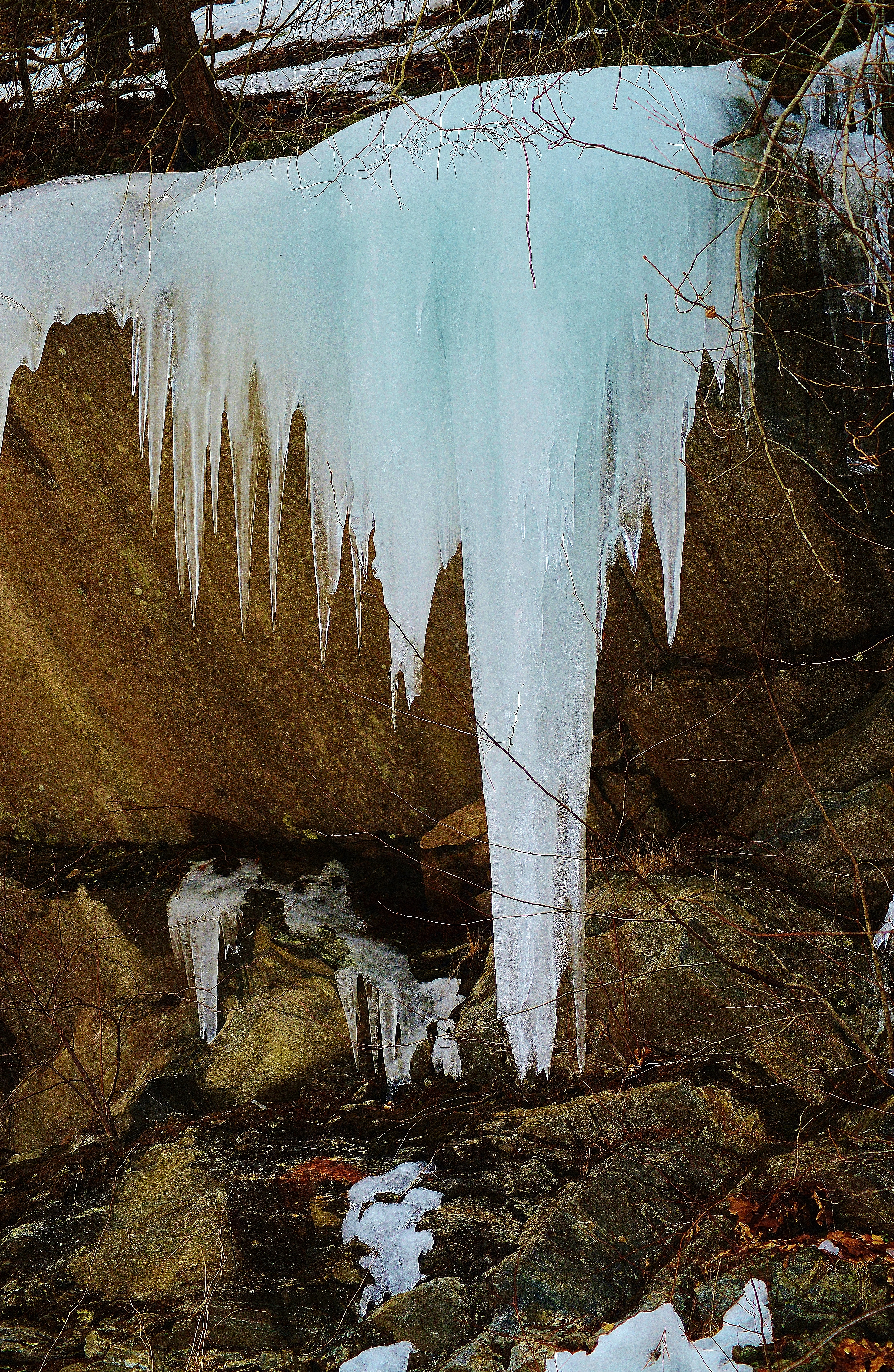
The Harsh Reality of Winter

another alternate

The Soothing Flow of a Woodland Stream

Going West in the Berkshires

ghost tree

Chesterfield Gorge

Aerial View

Holyoke, MA - view to the west and Easthampton

Nashawannuck Pond Flag (0505) 3

Q012 at Middlefield, MA
Along Jacob's Ladder

Keystone Bridge A

Don't Fence me Out

Mt Tom Reflection

Refections on a Winter's day

Fall in Western Massachusetts

alternate cover shot

On Borrowed Time

Mill River, MA

#easthampton #river #massachusetts #america #summer
Topographic Map of County Rd, Huntington, MA, USA
Find elevation by address:

Places near County Rd, Huntington, MA, USA:
33 Church Rd
County Road
106 Pond Brook Rd
138 Pond Brook Rd
Norwich Pond
91 Jourdan Rd
22 Nagler Cross Rd
60 New State Rd
Sunset Lane
Littleville
31 Basket St
7 Basket St
253 Main Rd
Huntington
Huntington Rd, Huntington, MA, USA
4 Higgins Rd
1 S Rd
Westhampton
11 Skyline Trail
13 E River Rd
Recent Searches:
- Elevation of Corso Fratelli Cairoli, 35, Macerata MC, Italy
- Elevation of Tallevast Rd, Sarasota, FL, USA
- Elevation of 4th St E, Sonoma, CA, USA
- Elevation of Black Hollow Rd, Pennsdale, PA, USA
- Elevation of Oakland Ave, Williamsport, PA, USA
- Elevation of Pedrógão Grande, Portugal
- Elevation of Klee Dr, Martinsburg, WV, USA
- Elevation of Via Roma, Pieranica CR, Italy
- Elevation of Tavkvetili Mountain, Georgia
- Elevation of Hartfords Bluff Cir, Mt Pleasant, SC, USA