Elevation of Little Fort, BC V0E, Canada
Location: Canada > British Columbia >
Longitude: -120.20534
Latitude: 51.4239653
Elevation: 394m / 1293feet
Barometric Pressure: 97KPa
Elevation Map:
Satellite Map:
Related Photos:
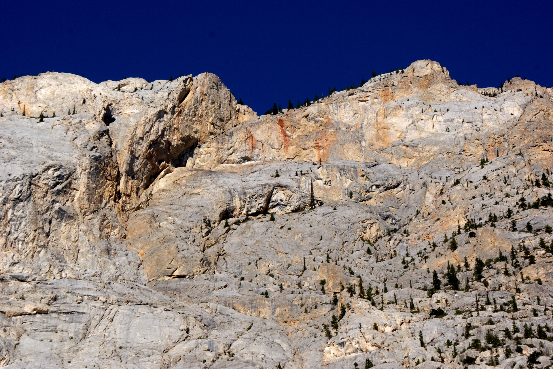
IMAG0549
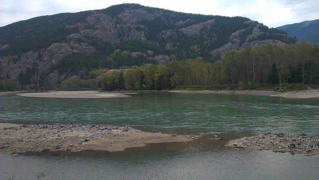
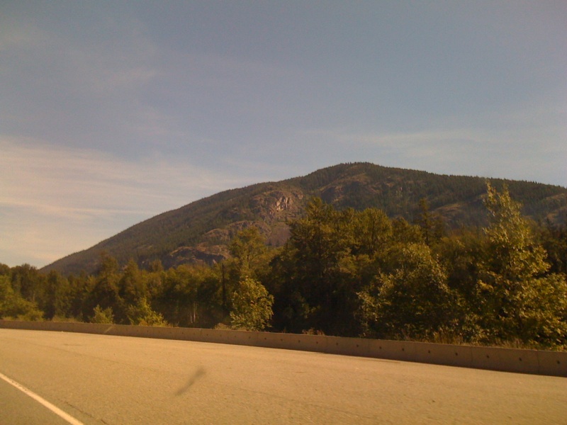
North Thompson River
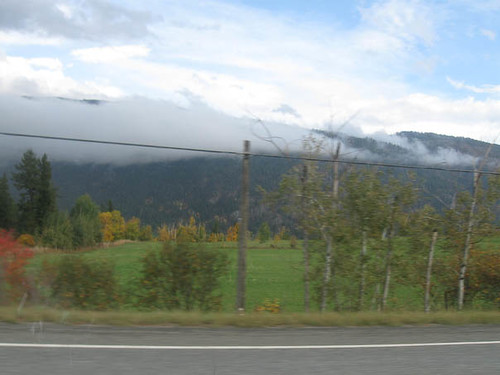
20140823-5354
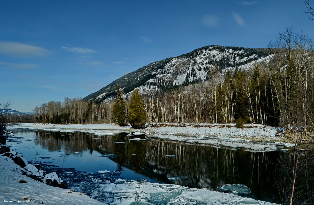
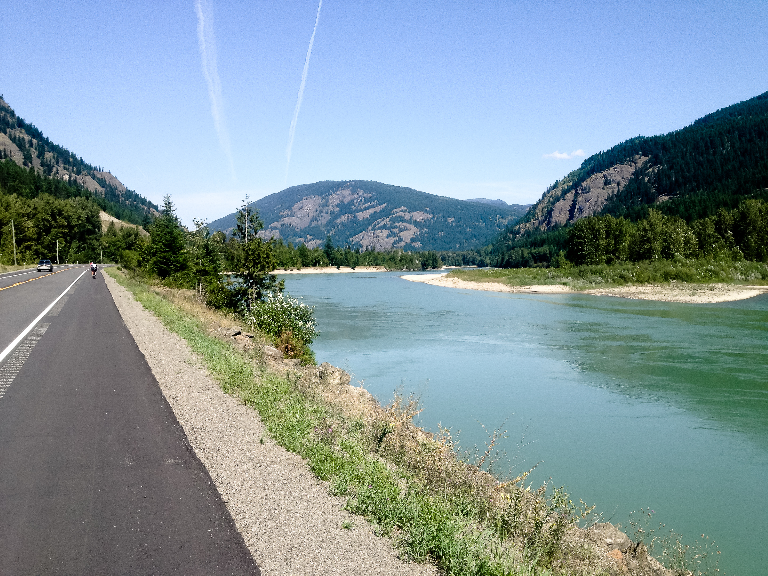
050 Early morning reflections British Columbia
British Columbia

North Thompson River
Vinsulla, 4-Aug-08
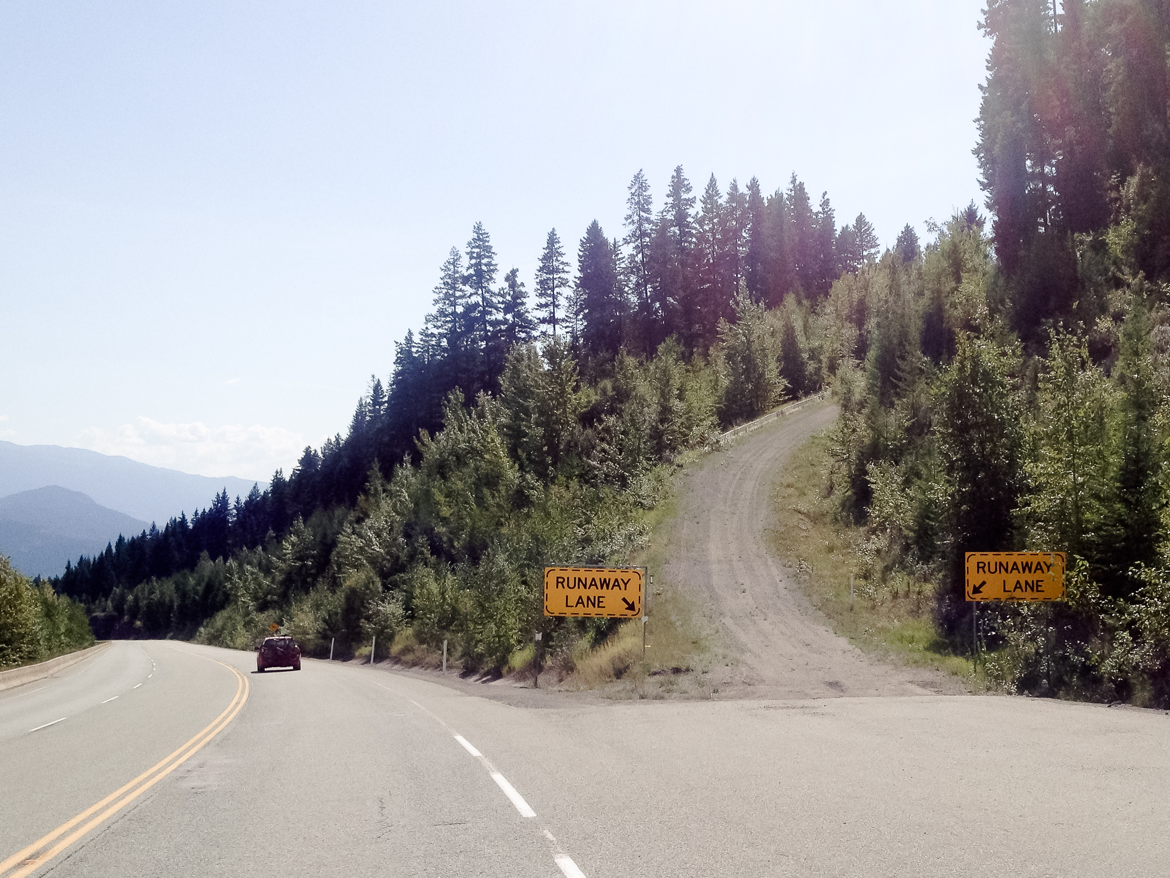
Road Trip to Victoria, BC From Edmonton, AB (170 of 250)
20140823-5371
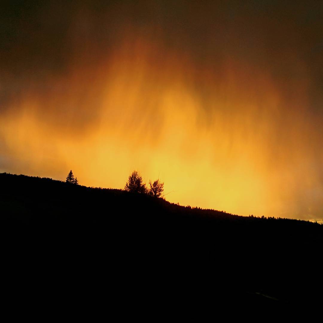
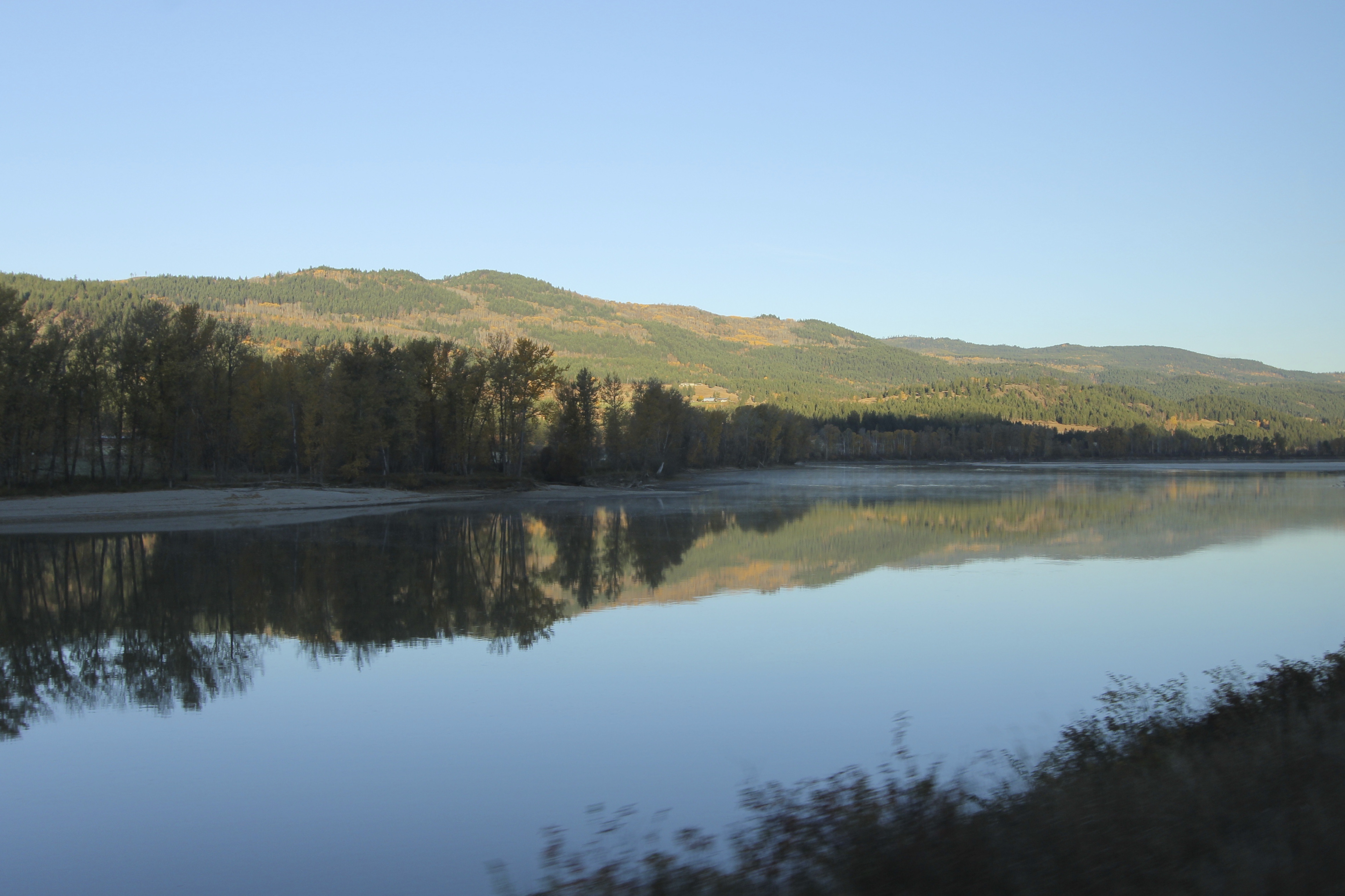
Beautiful sunset this eve...
Topographic Map of Little Fort, BC V0E, Canada
Find elevation by address:

Places in Little Fort, BC V0E, Canada:
Places near Little Fort, BC V0E, Canada:
Little Fort Fly & Tackle
Dunn Peak
873 Harvie Rd
3373 Barriere Town Rd
Barrière
Re/max Integrity Realty
207 Park Dr
Clearwater
North Thompson Valley, British Columbia
Louis Creek
4260 Barriere Lakes Rd
4260 Barriere Lakes Rd
607 Downie Rd
3459 Agate Bay Rd
3373 E Barriere Lake Forest Service Rd
3373 E Barriere Lake Forest Service Rd
Thompson-nicola O
3101 Agate Bay Rd
Birch Island
2100 Agate Bay Rd
Recent Searches:
- Elevation of Corso Fratelli Cairoli, 35, Macerata MC, Italy
- Elevation of Tallevast Rd, Sarasota, FL, USA
- Elevation of 4th St E, Sonoma, CA, USA
- Elevation of Black Hollow Rd, Pennsdale, PA, USA
- Elevation of Oakland Ave, Williamsport, PA, USA
- Elevation of Pedrógão Grande, Portugal
- Elevation of Klee Dr, Martinsburg, WV, USA
- Elevation of Via Roma, Pieranica CR, Italy
- Elevation of Tavkvetili Mountain, Georgia
- Elevation of Hartfords Bluff Cir, Mt Pleasant, SC, USA