Elevation of Dunn Peak, Thompson-Nicola O, BC V0E, Canada
Location: Canada > British Columbia > Little Fort >
Longitude: -119.955
Latitude: 51.4366666
Elevation: 2502m / 8209feet
Barometric Pressure: 75KPa
Elevation Map:
Satellite Map:
Related Photos:
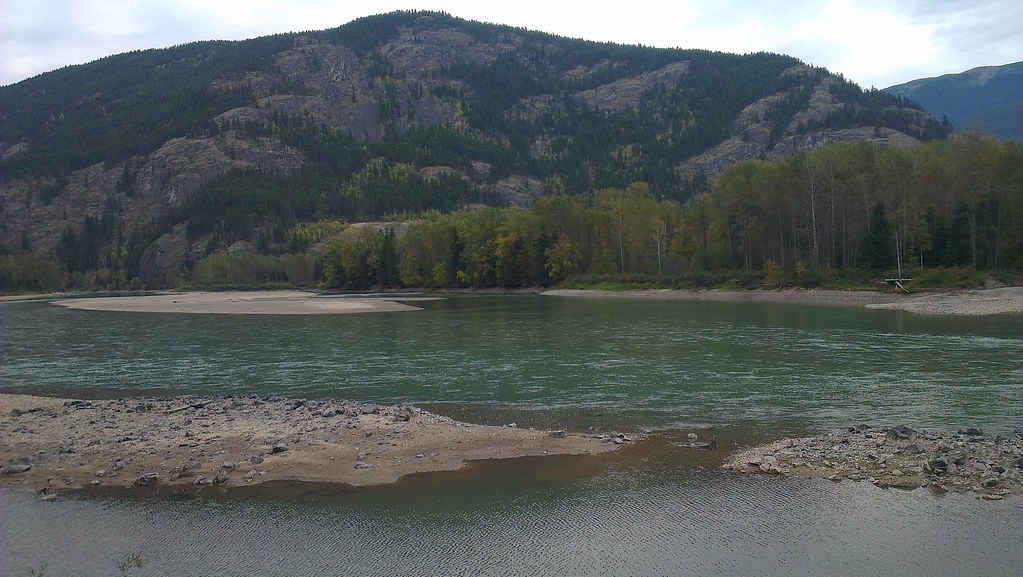
IMAG0549
Topographic Map of Dunn Peak, Thompson-Nicola O, BC V0E, Canada
Find elevation by address:

Places near Dunn Peak, Thompson-Nicola O, BC V0E, Canada:
Thompson-nicola O
Birch Island
3373 E Barriere Lake Forest Service Rd
3373 E Barriere Lake Forest Service Rd
4260 Barriere Lakes Rd
4260 Barriere Lakes Rd
207 Park Dr
East Barriere Lake Forest Service Road
East Barriere Lake Forest Service Road
Clearwater
North Thompson Valley, British Columbia
Little Fort
Little Fort Fly & Tackle
607 Downie Rd
Vavenby
873 Harvie Rd
3373 Barriere Town Rd
Barrière
Re/max Integrity Realty
3459 Agate Bay Rd
Recent Searches:
- Elevation of Corso Fratelli Cairoli, 35, Macerata MC, Italy
- Elevation of Tallevast Rd, Sarasota, FL, USA
- Elevation of 4th St E, Sonoma, CA, USA
- Elevation of Black Hollow Rd, Pennsdale, PA, USA
- Elevation of Oakland Ave, Williamsport, PA, USA
- Elevation of Pedrógão Grande, Portugal
- Elevation of Klee Dr, Martinsburg, WV, USA
- Elevation of Via Roma, Pieranica CR, Italy
- Elevation of Tavkvetili Mountain, Georgia
- Elevation of Hartfords Bluff Cir, Mt Pleasant, SC, USA