Elevation of Little Cimarron Rd, Cimarron, CO, USA
Location: United States > Colorado > Montrose County > Cimarron >
Longitude: -107.50271
Latitude: 38.3928912
Elevation: 2240m / 7349feet
Barometric Pressure: 77KPa
Elevation Map:
Satellite Map:
Related Photos:

Nature, Always with New Fresh Ideas for Those Who Visit

Curecanti Needle and Gunnison River

Crested Butte, Jul 2010 - 31

Blue Mesa Dam (2)
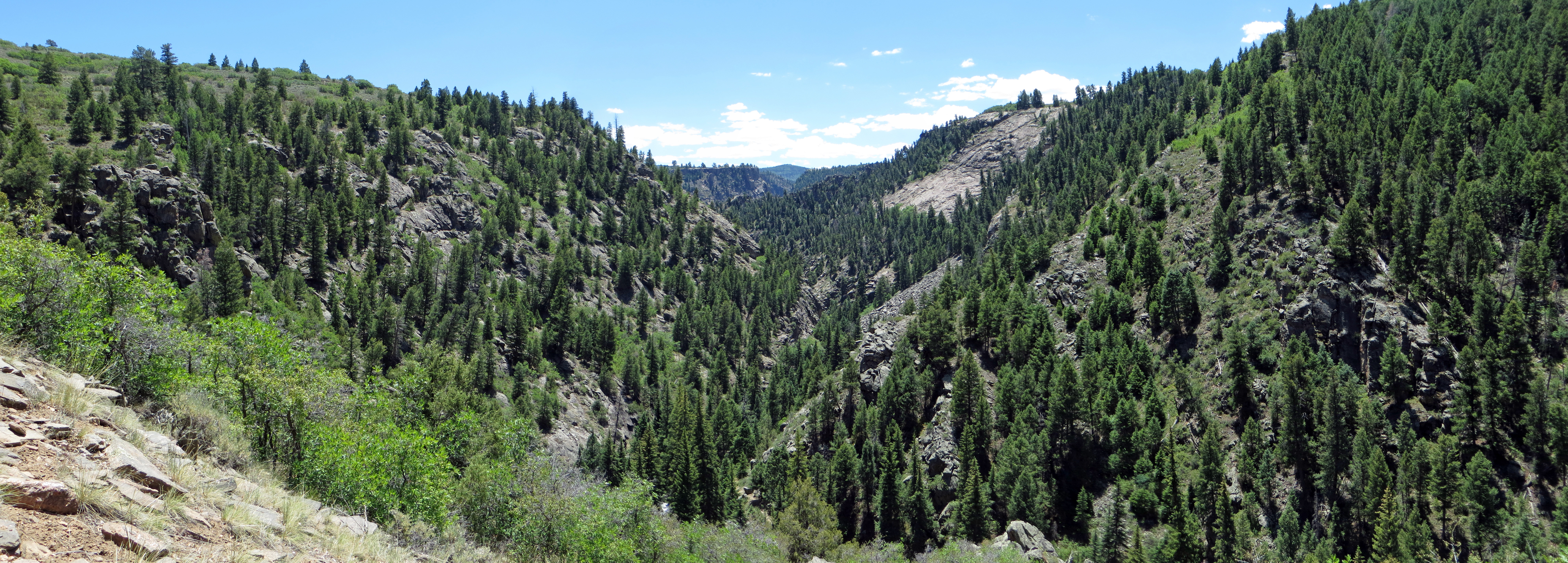
View South Along Curecanti Creek Canyon

View of Curecanti Creek from Bridge

View from the Lower Bridge

Alvin the Chipmunk Having His Morning Coffee

Window Seat | Delta 757-300 | Looking South | The Rockies of Southern Colorado

View of the Gunnison River from Hermit's Rest Picnic Area on State Highway 92 in Western Colorado

Heading south on Colorado Highway 92 to the Blue Mesa Dam & Reservoir

View from State Highway 92 in Western Colorado

View from State Highway 92 in Western Colorado
Gunnison River

Morrow Point Dam (1)

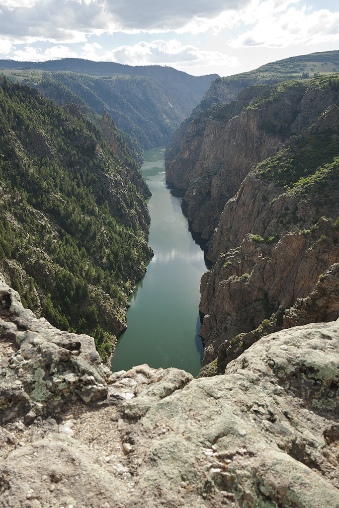
Black Canyon of the Gunnison National Park, Colorado

Morrow Point Dam (1)

Black Canyon of the Gunnison National Park, Colorado

Blue Mesa Dam (1)

Magic time

190319 NRT-DEN-07.jpg

ridges & oaks & sumacs

It Is Not Autumn Yet for the Leaves Are Green

Black Canyon

Blue Mesa Dam on the Gunnison River in Western Colorado
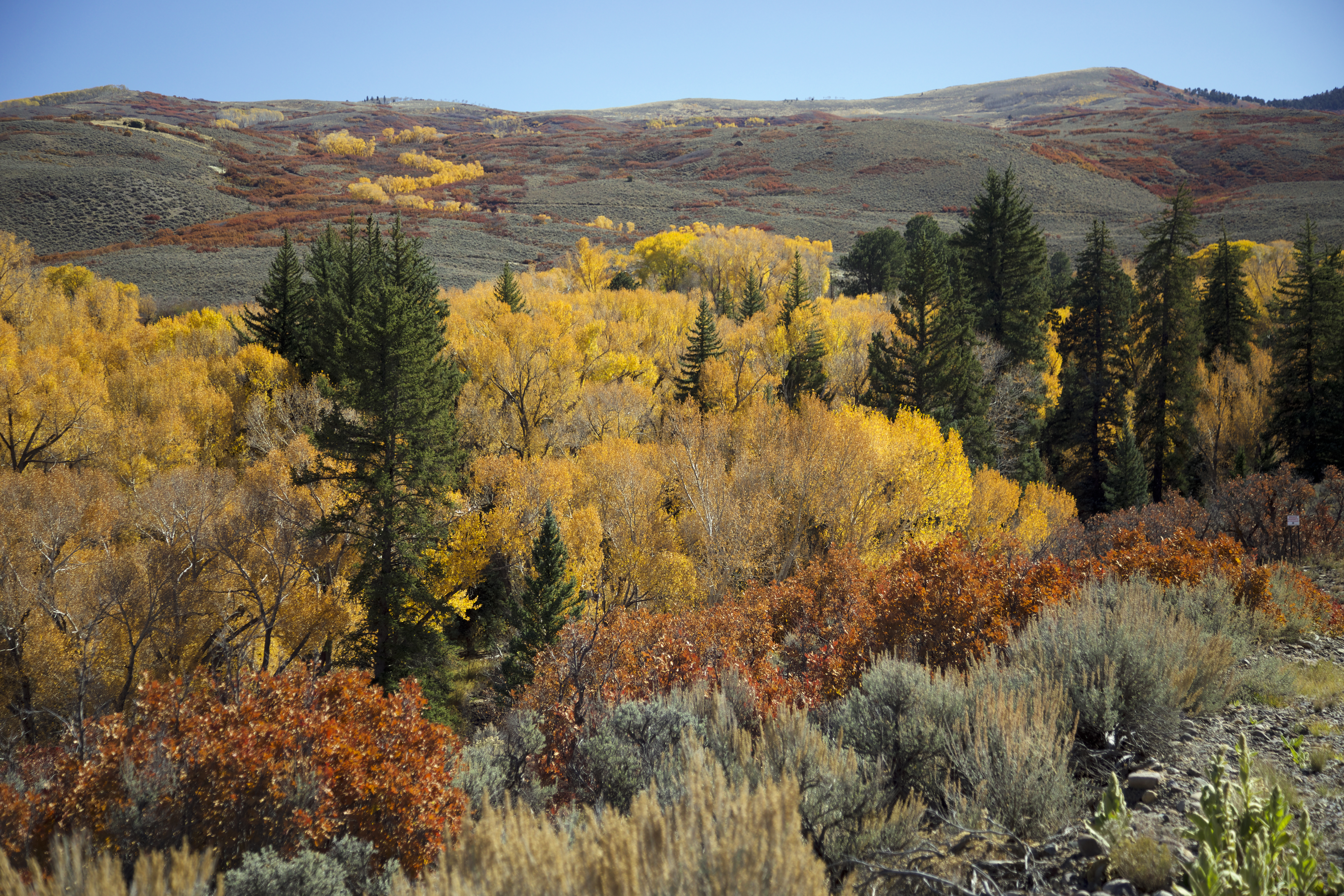
Cottonwoods follow water

Brilliant copse

Minutely detailed

Autumn afternoon

Gunnison River_6740

IMGP1611-Edit

IMGP1591-Edit

Gunnison River_6734

Curecanti Nat Rec Mesa Trail (# 0211)
Topographic Map of Little Cimarron Rd, Cimarron, CO, USA
Find elevation by address:

Places near Little Cimarron Rd, Cimarron, CO, USA:
Little Cimarron Road
1060 Co Rd 21
Hermits Rest Picnic Area
Cimarron
US-50, Cimarron, CO, USA
Pioneer Lookout Point
451 Hazel Lake Dr
Fish Creek Reservoir Number 1
Fish Creek Reservoir Number 2
County Road 858
77165 Buckhorn Rd
Cimarron Ridge Hp
High Mesa
E81 Rd, Crawford, CO, USA
Cimarron Ridge South
CO-92, Crawford, CO, USA
Buckhorn Road
US-50, Gunnison, CO, USA
82235 Eagle Feather Trl
23128 7250 Rd
Recent Searches:
- Elevation of Corso Fratelli Cairoli, 35, Macerata MC, Italy
- Elevation of Tallevast Rd, Sarasota, FL, USA
- Elevation of 4th St E, Sonoma, CA, USA
- Elevation of Black Hollow Rd, Pennsdale, PA, USA
- Elevation of Oakland Ave, Williamsport, PA, USA
- Elevation of Pedrógão Grande, Portugal
- Elevation of Klee Dr, Martinsburg, WV, USA
- Elevation of Via Roma, Pieranica CR, Italy
- Elevation of Tavkvetili Mountain, Georgia
- Elevation of Hartfords Bluff Cir, Mt Pleasant, SC, USA