Elevation of Litava, 61 Olší, Czech Republic
Location: Czech Republic > South Moravian Region > Brno-country District > Olší >
Longitude: 16.3099491
Latitude: 49.4092533
Elevation: 502m / 1647feet
Barometric Pressure: 95KPa
Elevation Map:
Satellite Map:
Related Photos:

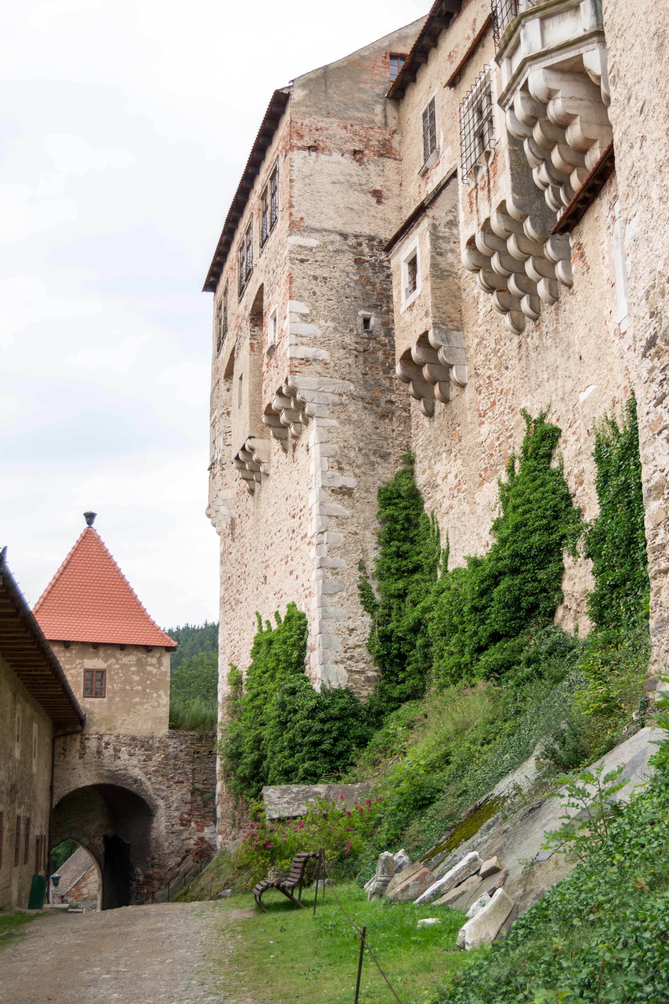
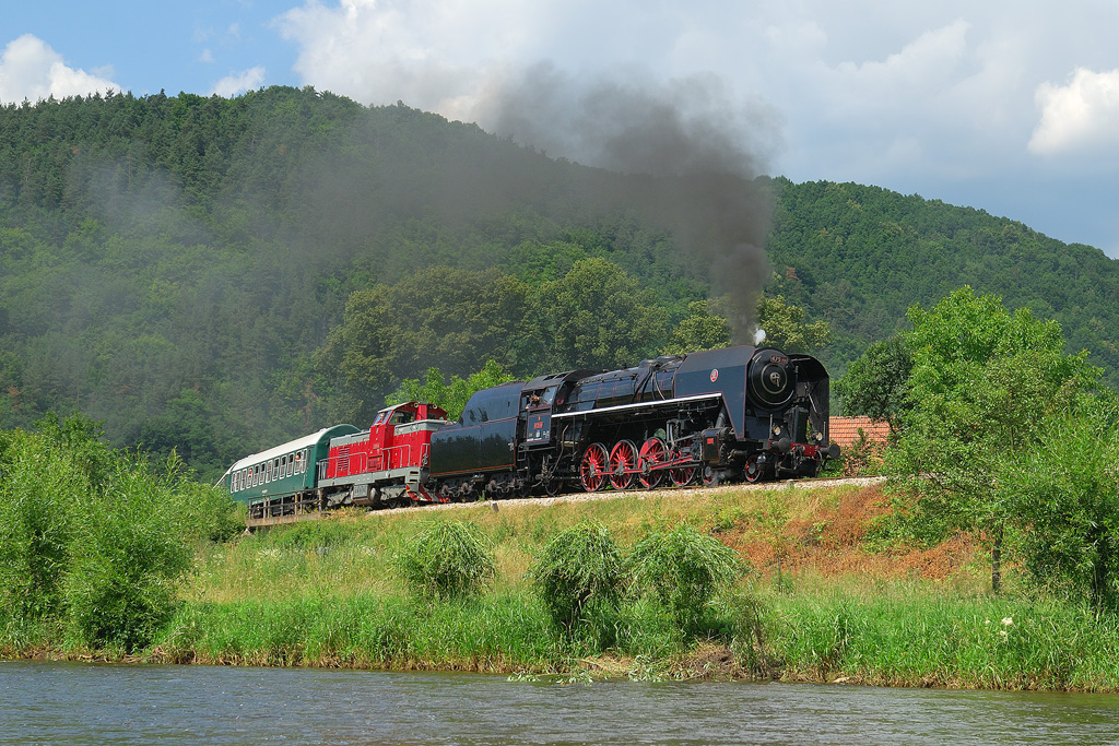
View of Pernštejn
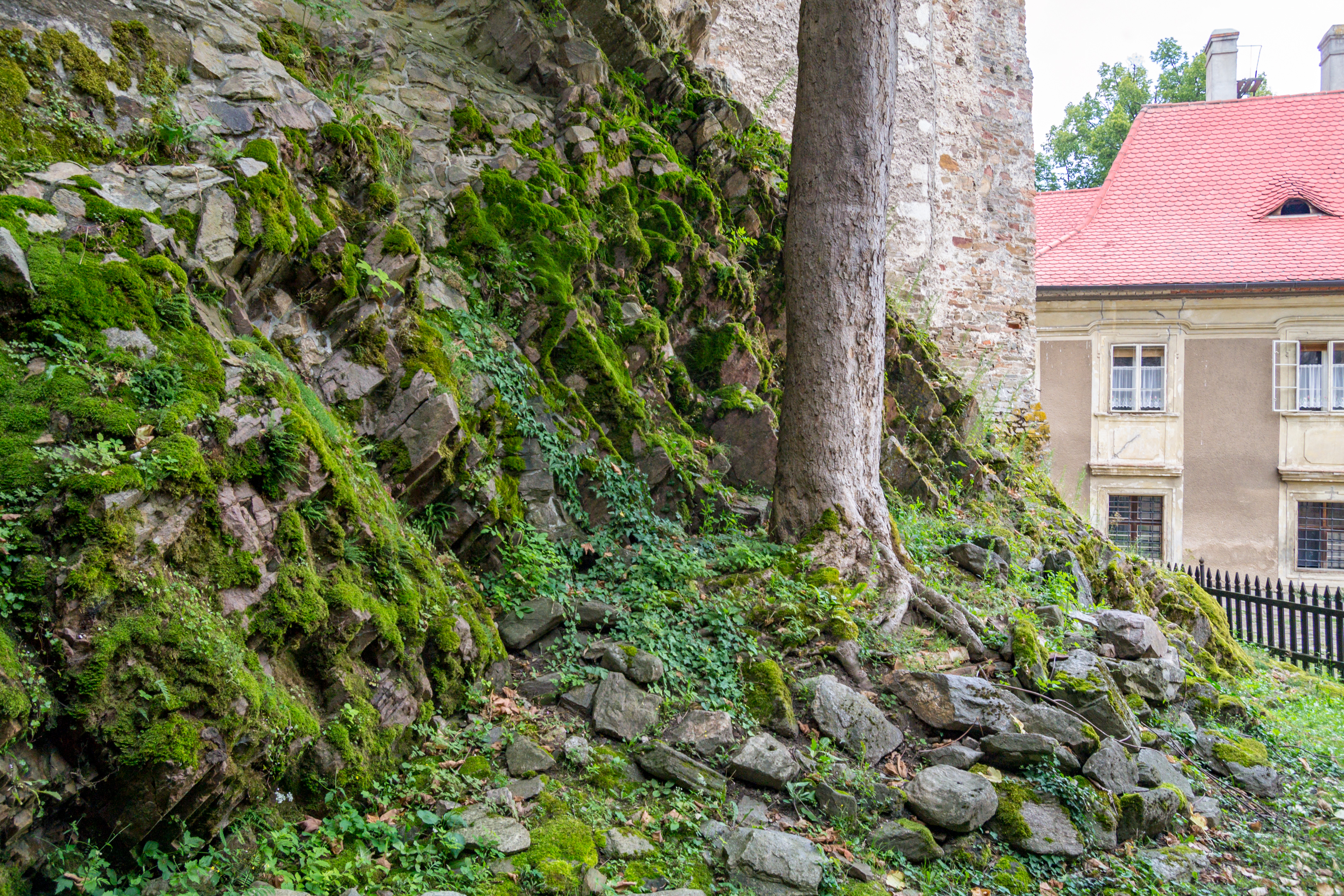
Pernstejn - castle view 03
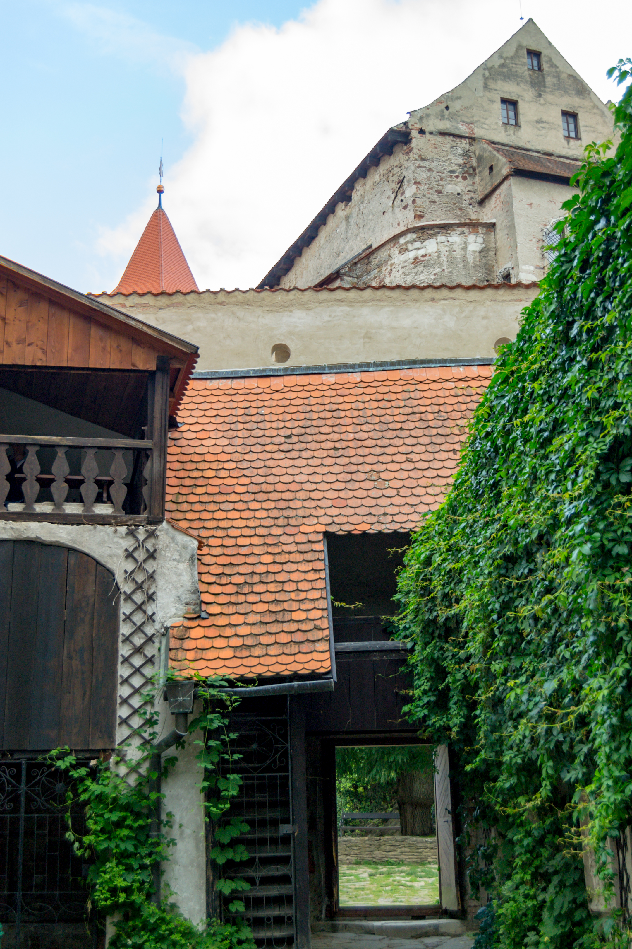
Pernstejn - castle view 05
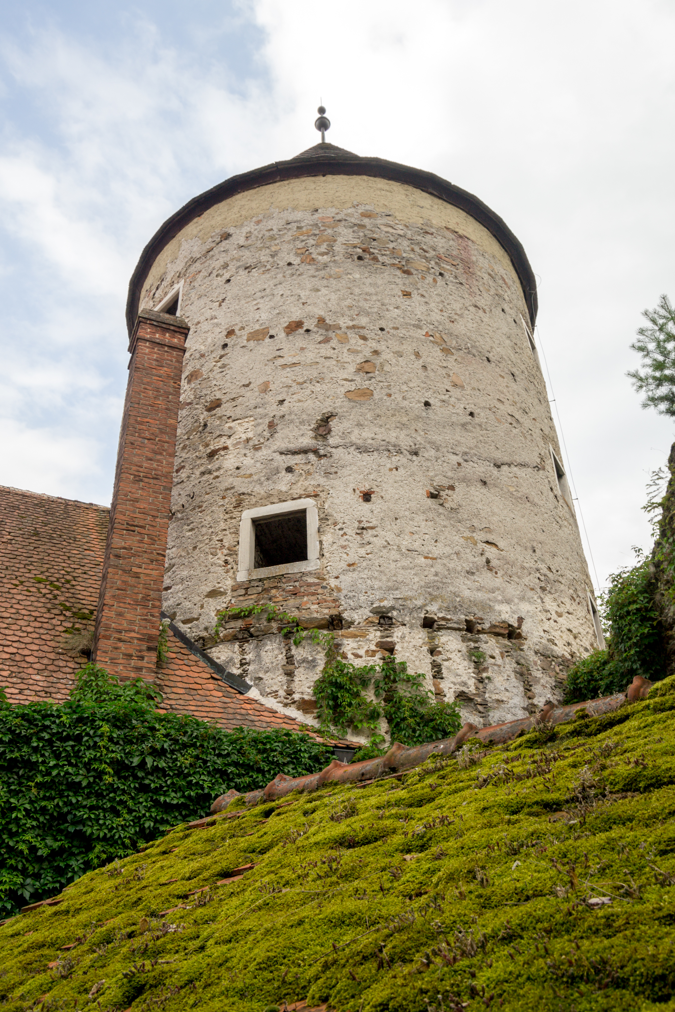
Pernstejn - castle view 04
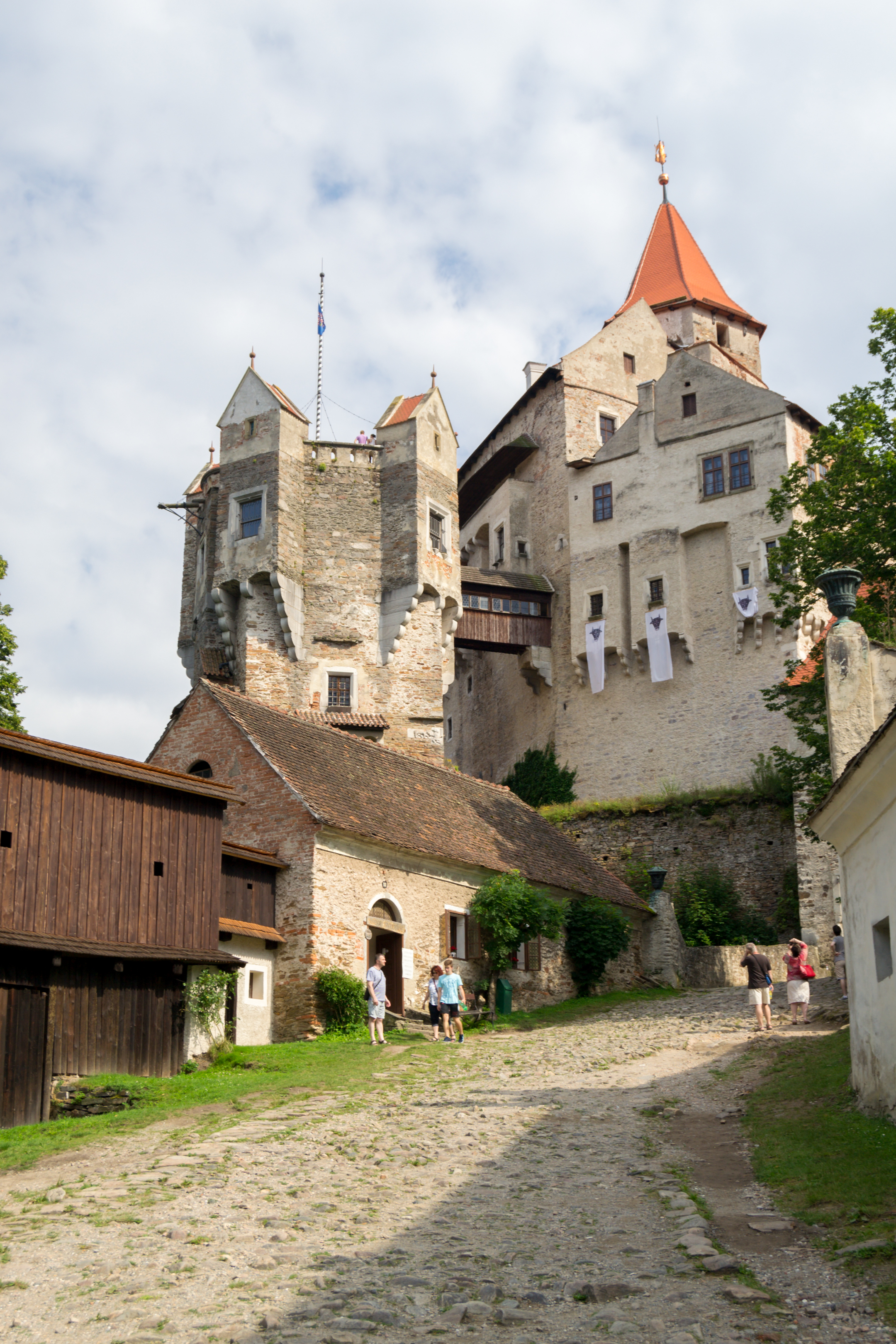
Pernstejn - castle view 02
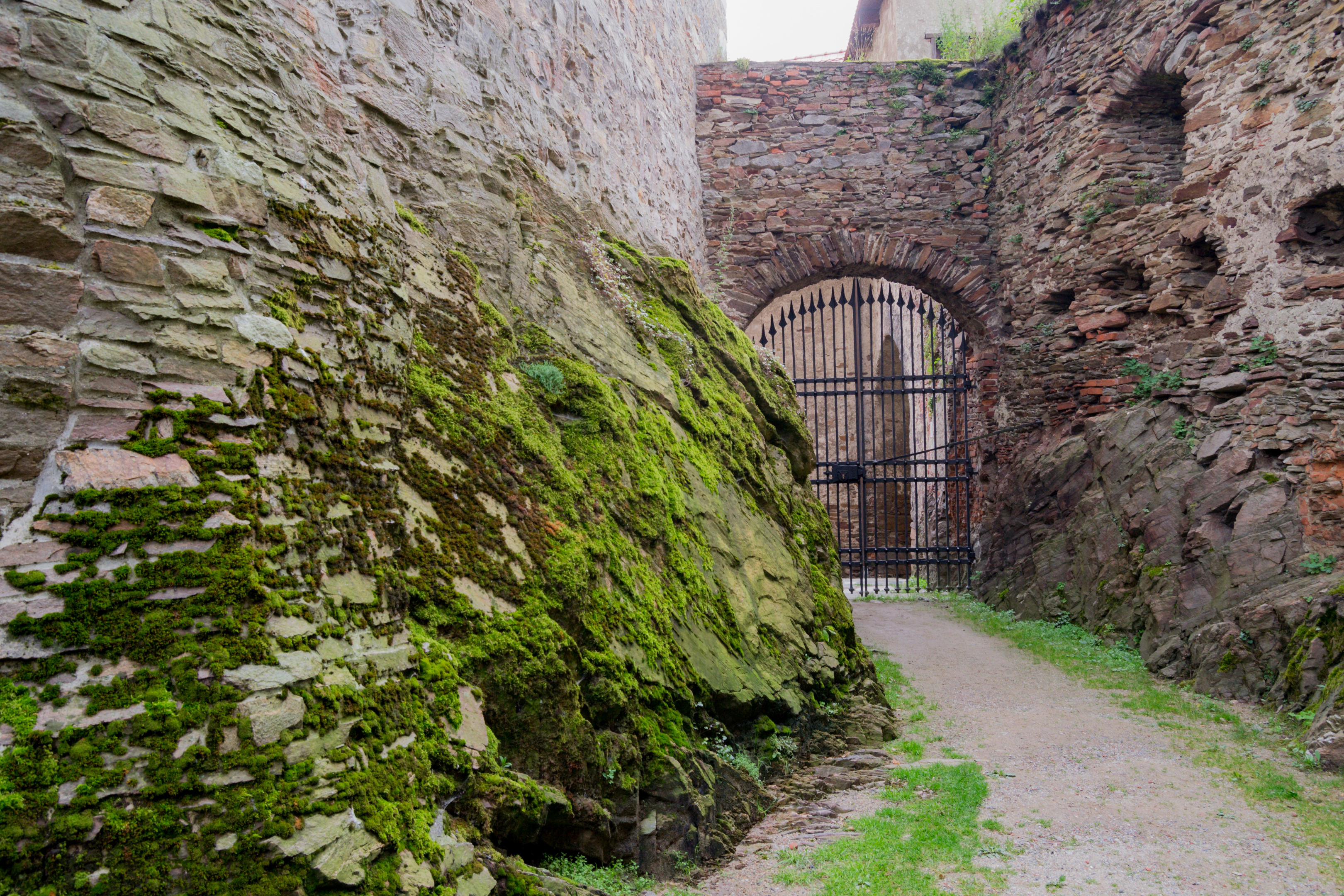
Pernstejn - castle view 06
Pernstejn - castle view 03
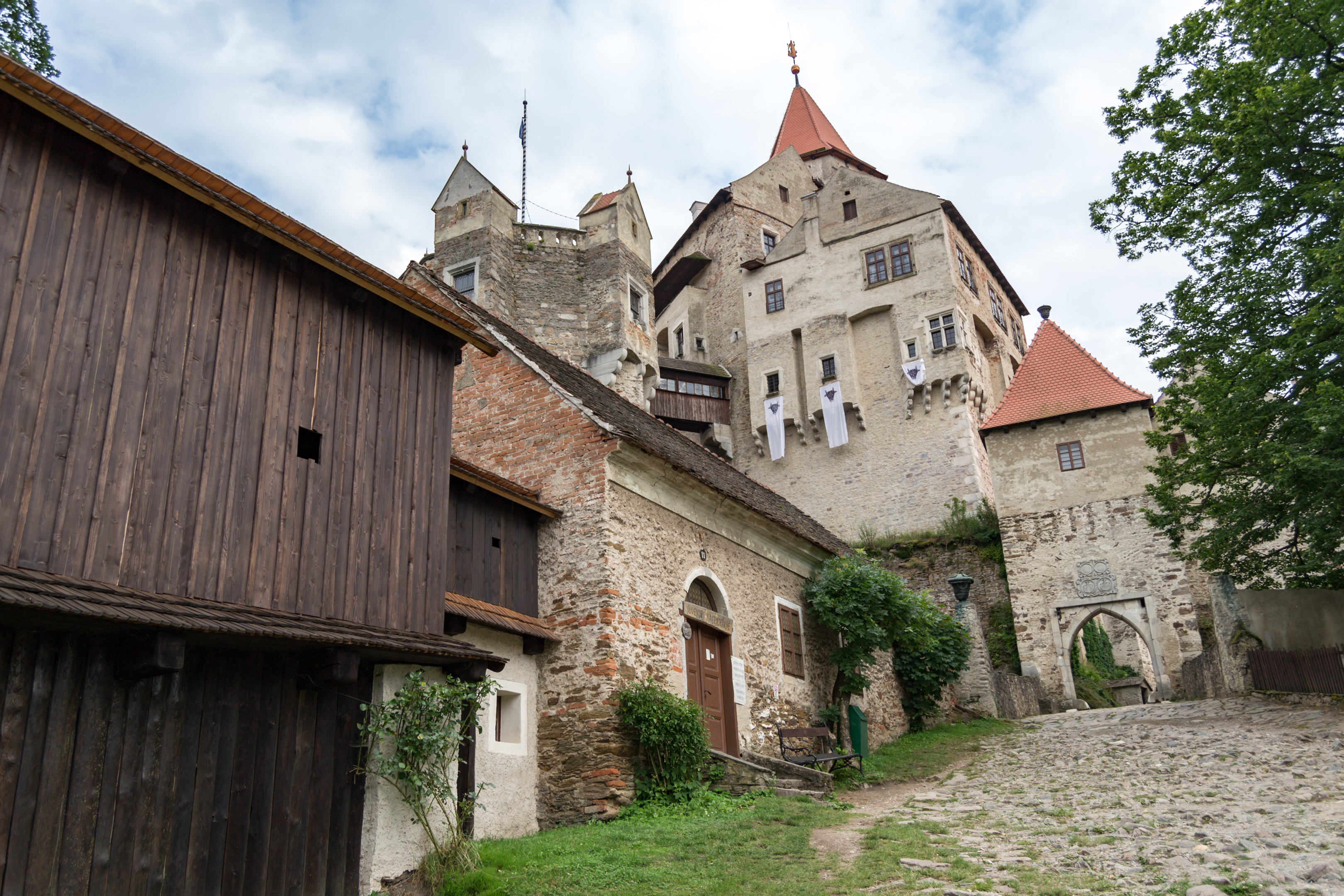
Pernstejn - castle view 01
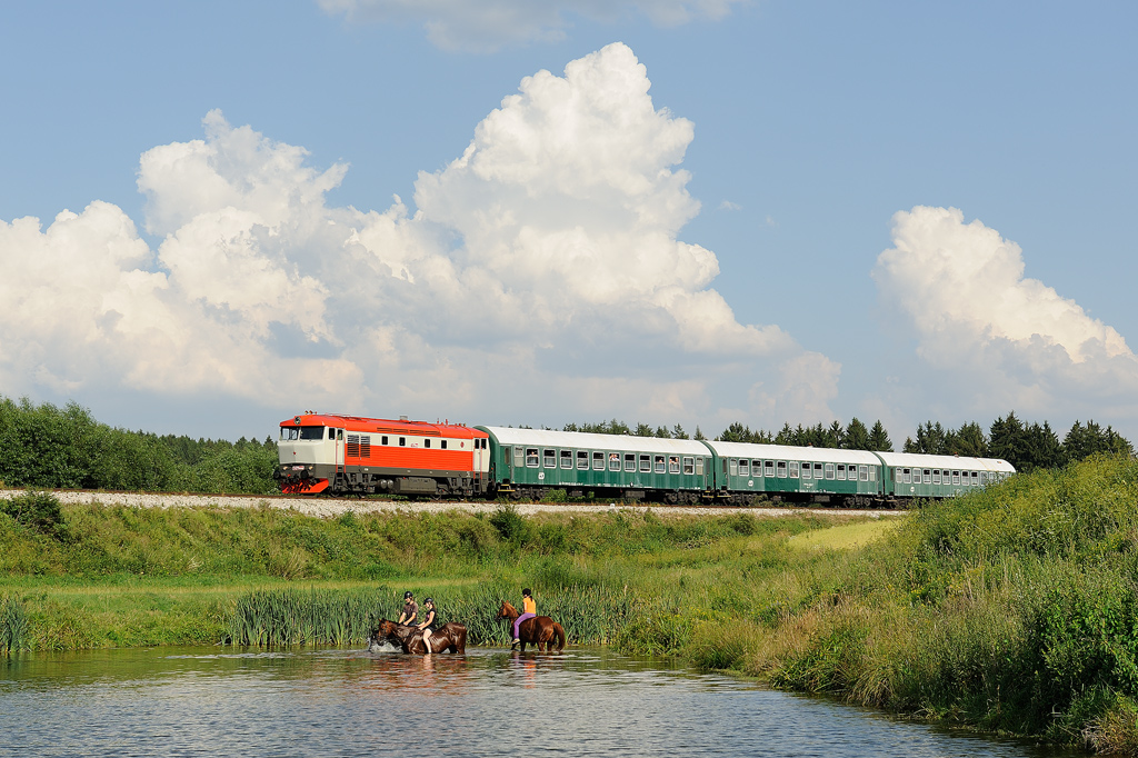
6.7. 2012, 749.008
5.7.2010, ... u vrbiček

Walking 'cross Moravia

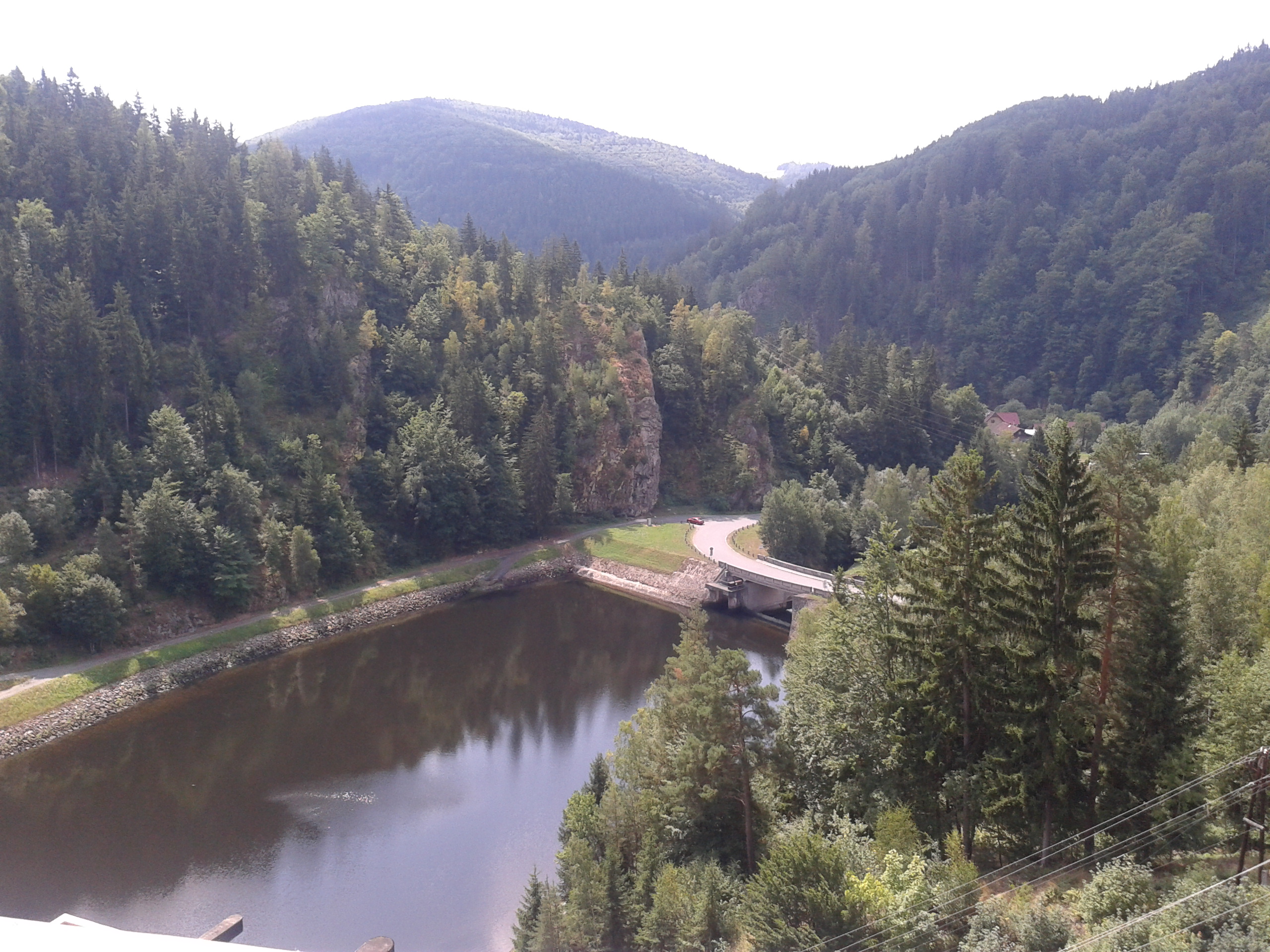
Zubstejn ruins
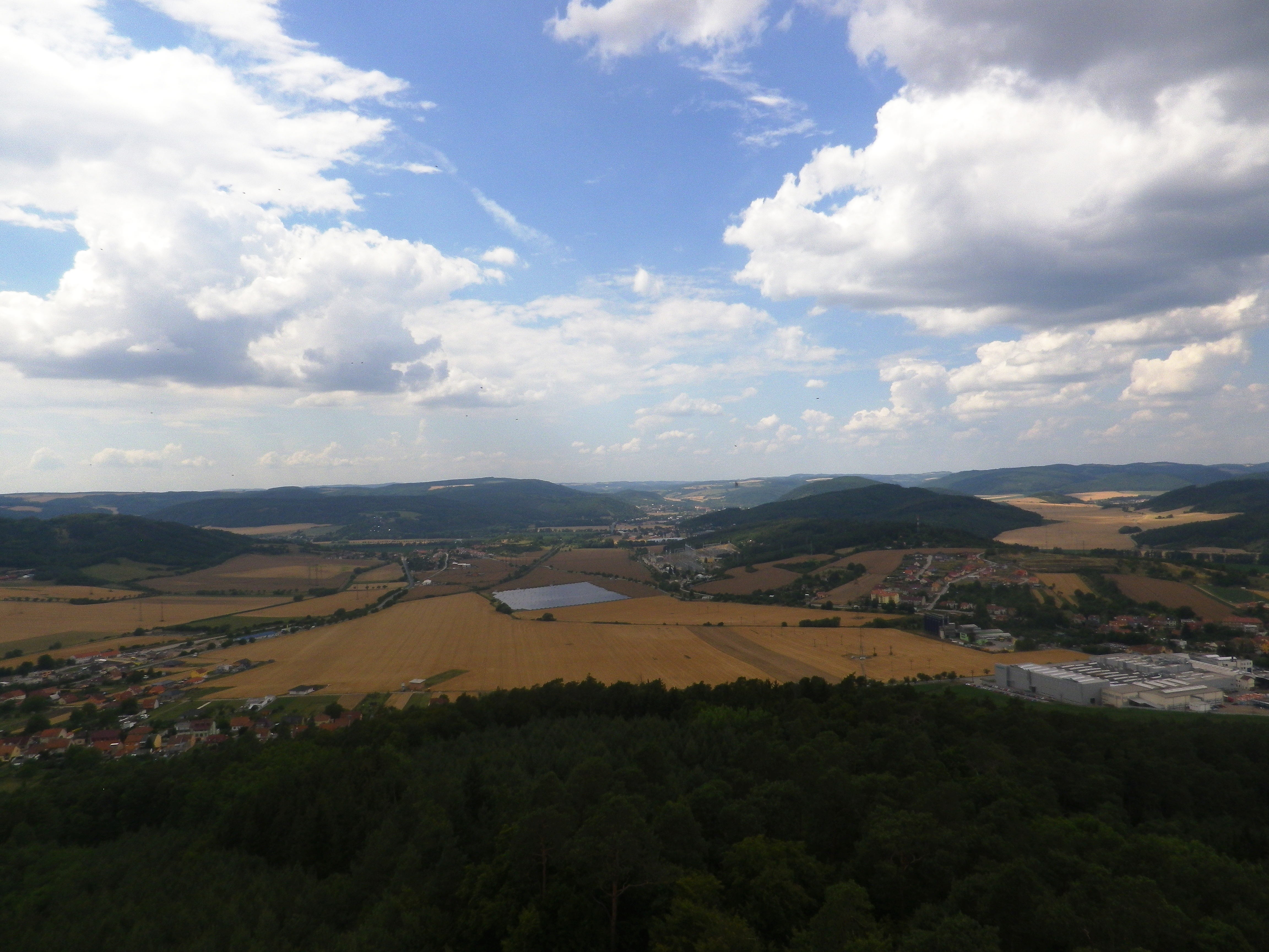
Výhled z Čebínky
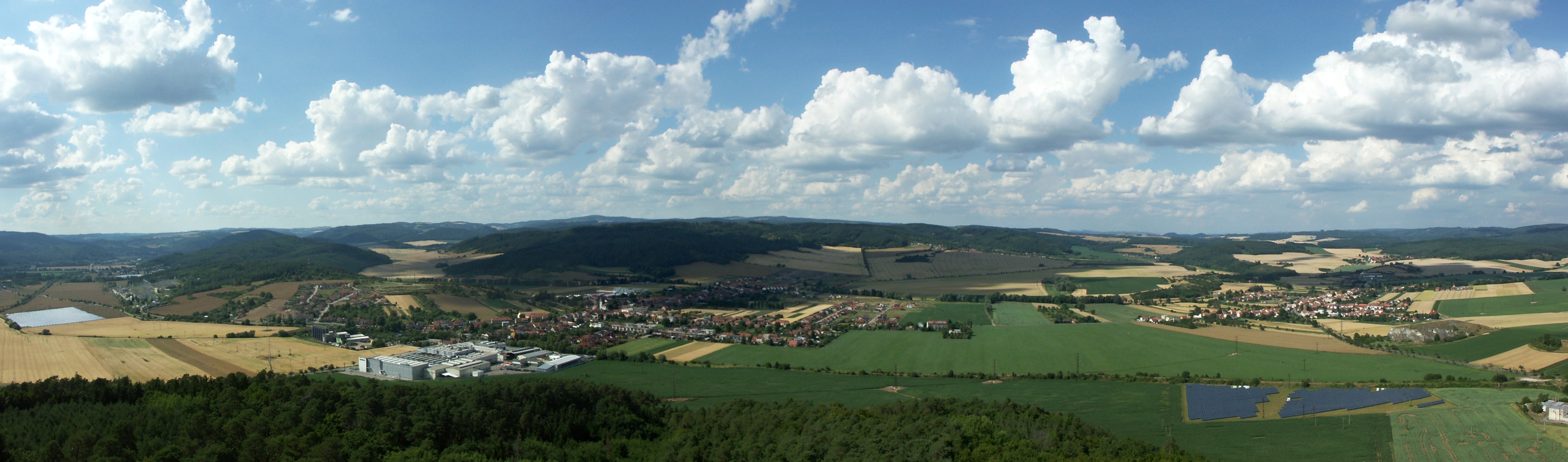
Panorama z rozhledny Čebín
Fotografie-0151

2016-06-11-11-25-33
Nihov 010

Laurel Hill 2013
#white #snow #ontheroad #brno #igrsbrno
Nihov 022
Topographic Map of Litava, 61 Olší, Czech Republic
Find elevation by address:

Places in Litava, 61 Olší, Czech Republic:
Places near Litava, 61 Olší, Czech Republic:
Litava 14, 61 Olší, Czech Republic
Olší
Dolní Loučky
Střemchoví 4, 55 Dolní Loučky, Czech Republic
Střemchoví
Údolí řeky Svratky
Štěpánov Nad Svratkou
Masarykovo nám., 01 Bystřice nad Pernštejnem, Czech Republic
Bystřice Nad Pernštejnem
Kostelní 16, 01 Tišnov, Czech Republic
Tišnov
Přibyslavice
Lipová 36, 83 Přibyslavice, Czech Republic
Jemnice 14, 53 Strážek, Czech Republic
Karlov 95, Janovice, 01 Velká Bíteš, Czech Republic
Janovice
Velká Bíteš
Návrší, Janovice, 01 Velká Bíteš, Czechia
Javůrek 43, 83 Javůrek, Czech Republic
Javůrek 4, 83 Javůrek, Czech Republic
Recent Searches:
- Elevation of Corso Fratelli Cairoli, 35, Macerata MC, Italy
- Elevation of Tallevast Rd, Sarasota, FL, USA
- Elevation of 4th St E, Sonoma, CA, USA
- Elevation of Black Hollow Rd, Pennsdale, PA, USA
- Elevation of Oakland Ave, Williamsport, PA, USA
- Elevation of Pedrógão Grande, Portugal
- Elevation of Klee Dr, Martinsburg, WV, USA
- Elevation of Via Roma, Pieranica CR, Italy
- Elevation of Tavkvetili Mountain, Georgia
- Elevation of Hartfords Bluff Cir, Mt Pleasant, SC, USA