Elevation of Karlov 95, Janovice, 01 Velká Bíteš, Czech Republic
Location: Czech Republic > Vysocina Region > Žďár Nad Sázavou District > Velká Bíteš > Janovice >
Longitude: 16.2347316
Latitude: 49.2873375
Elevation: 488m / 1601feet
Barometric Pressure: 96KPa
Elevation Map:
Satellite Map:
Related Photos:
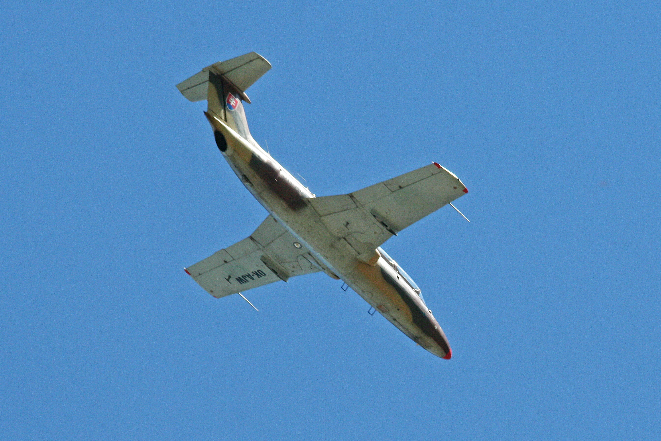
Aero L-29 Delfin 'OK-AJW'
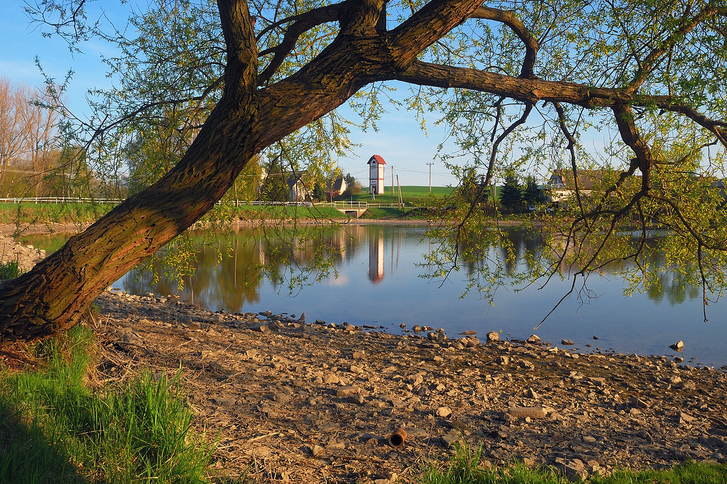
Pond in Okarec
5.7.2010, ... u vrbiček
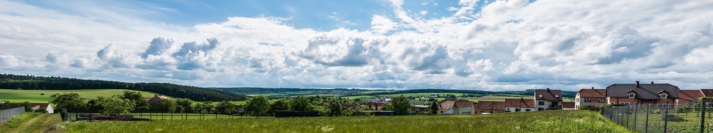
Náměšť nad Oslavou, Czech Republic
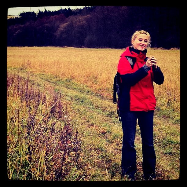
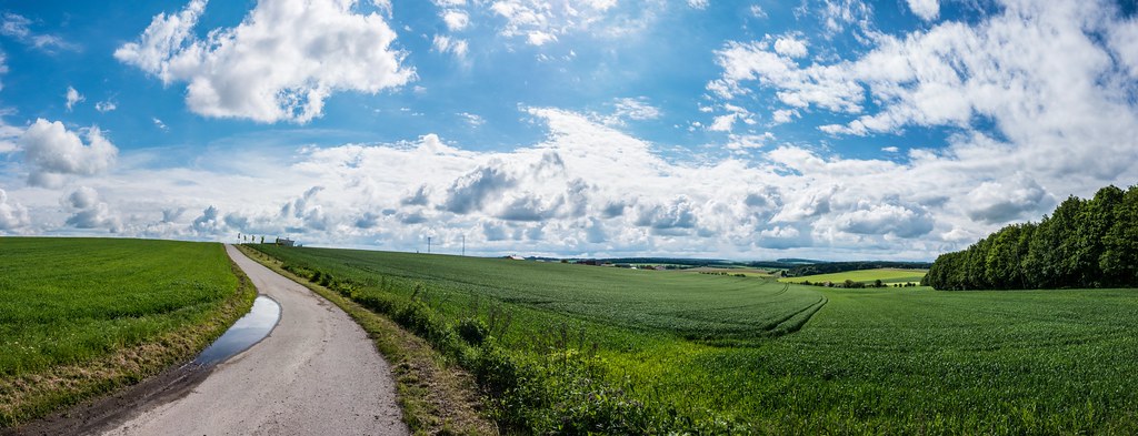
Walking 'cross Moravia
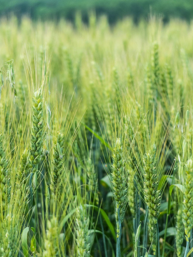
Growing crop
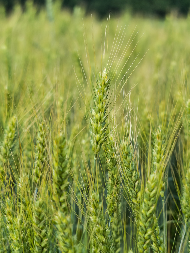
Growing crop
Zámecká obora
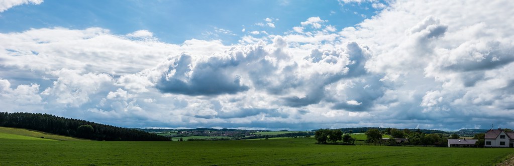
Fuji test panorama No.2

2016-06-11-11-25-33
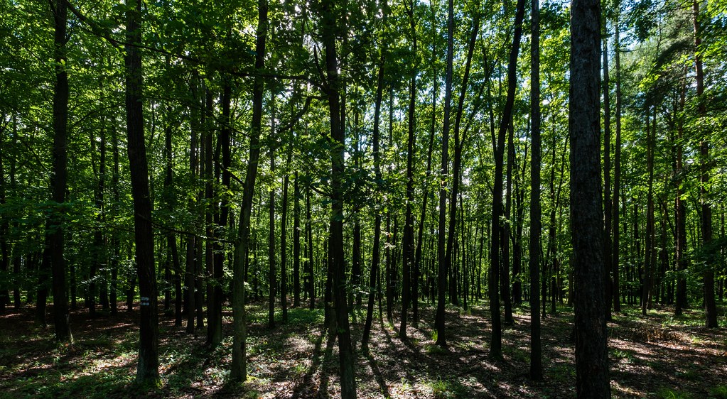
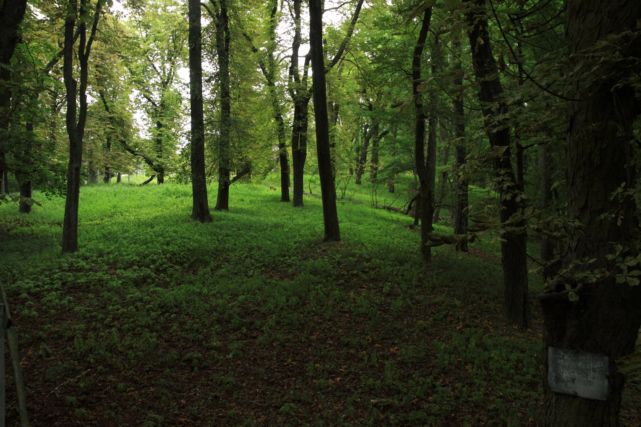
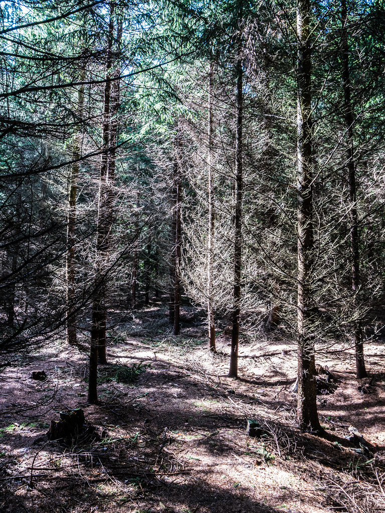
Forest anatomy
After storm
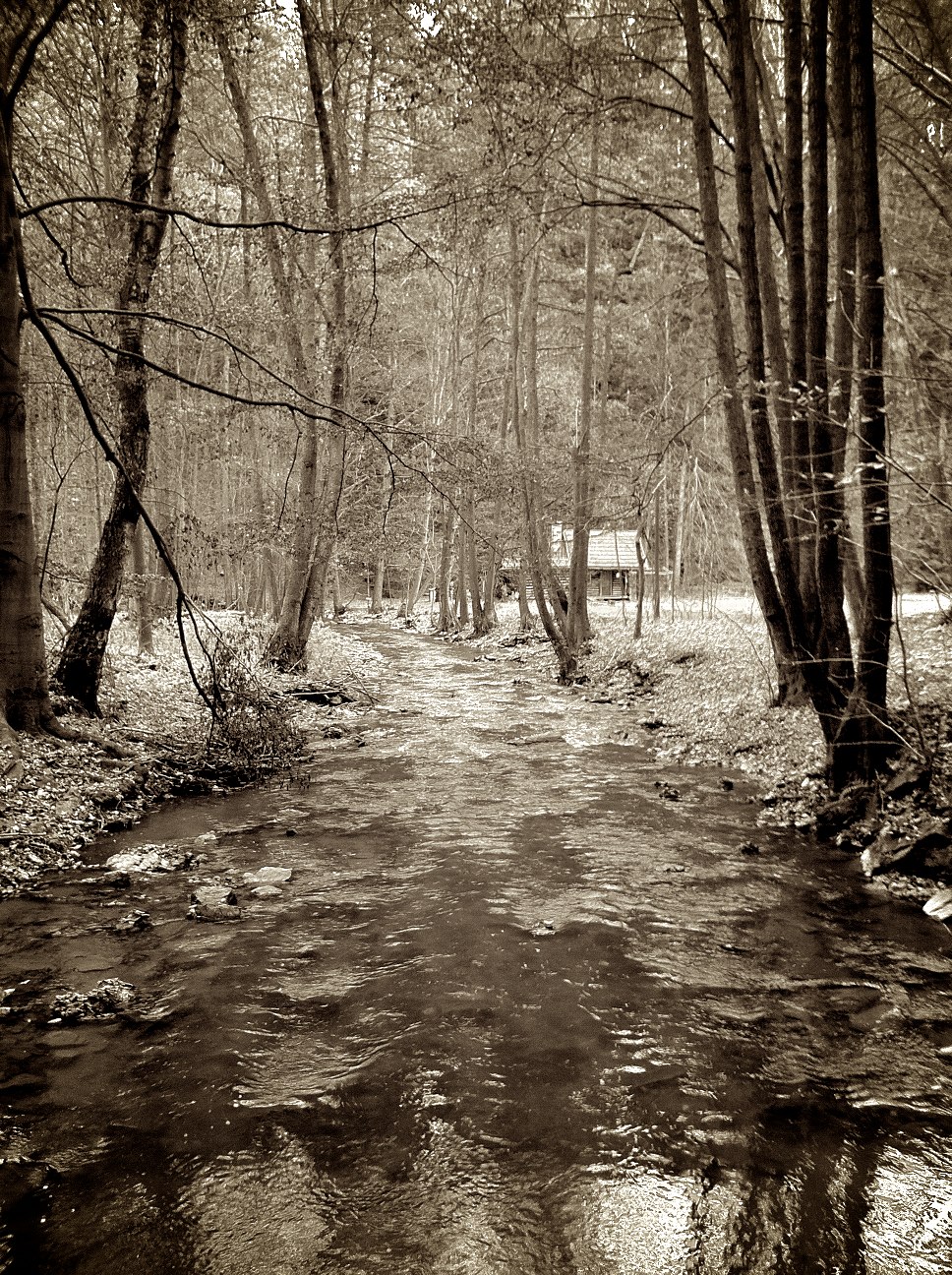
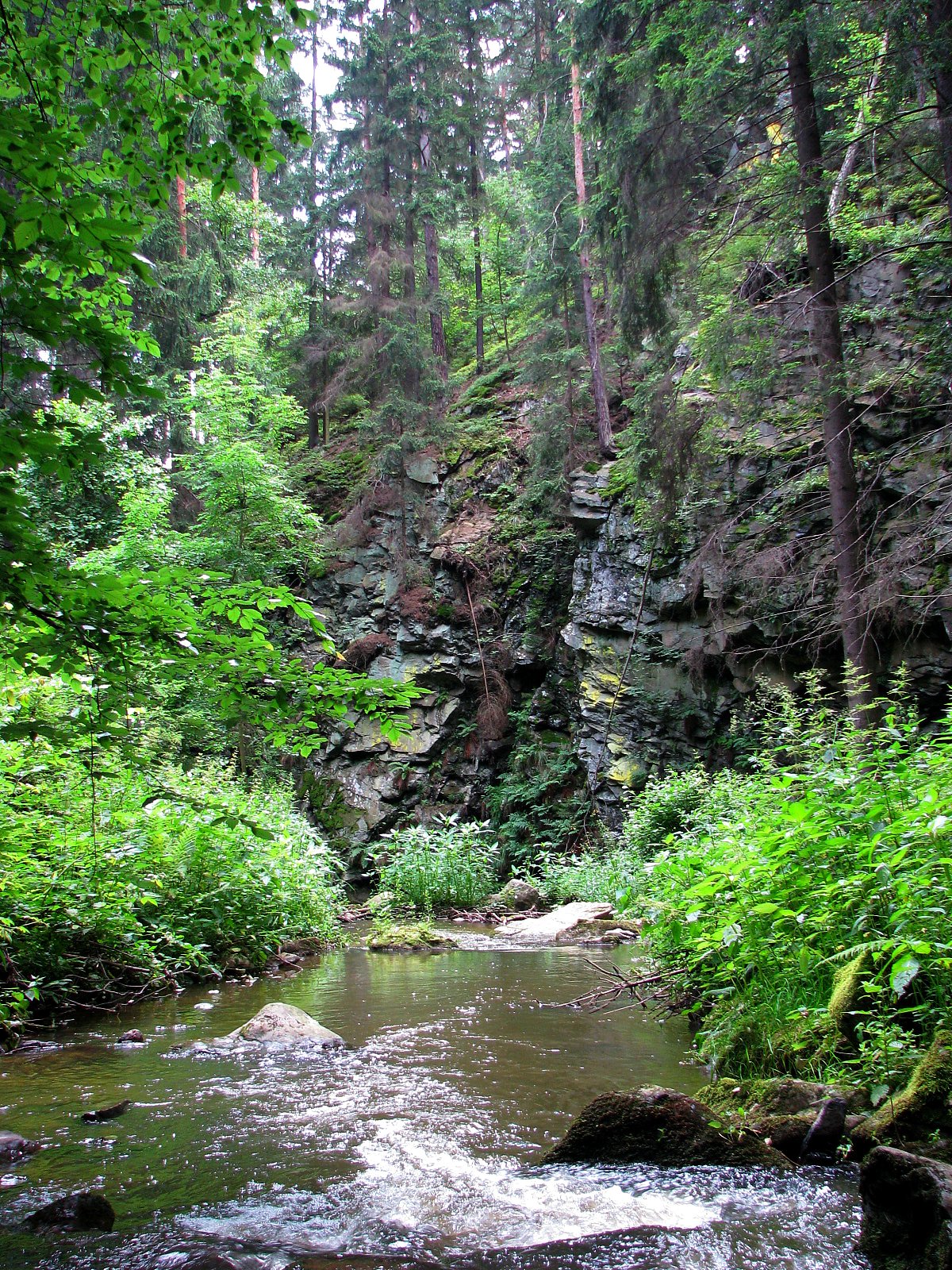
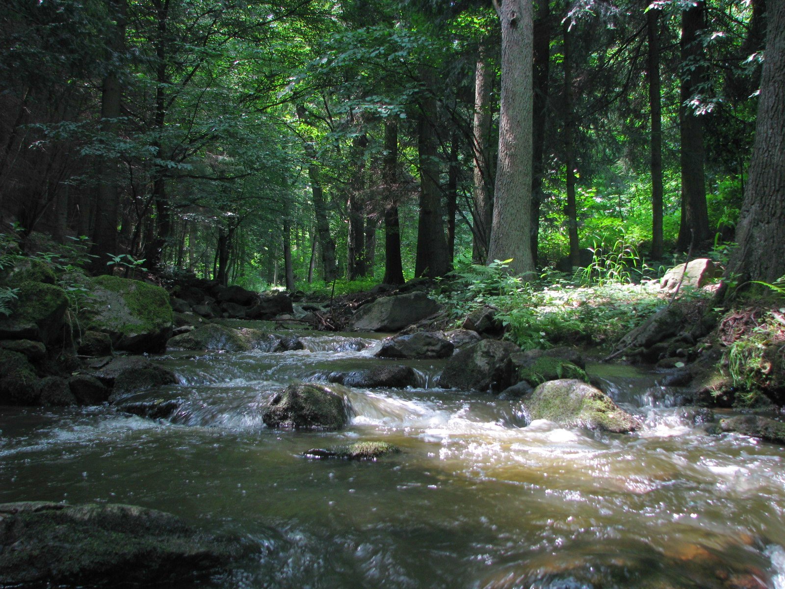
Bílý Potok
After storm
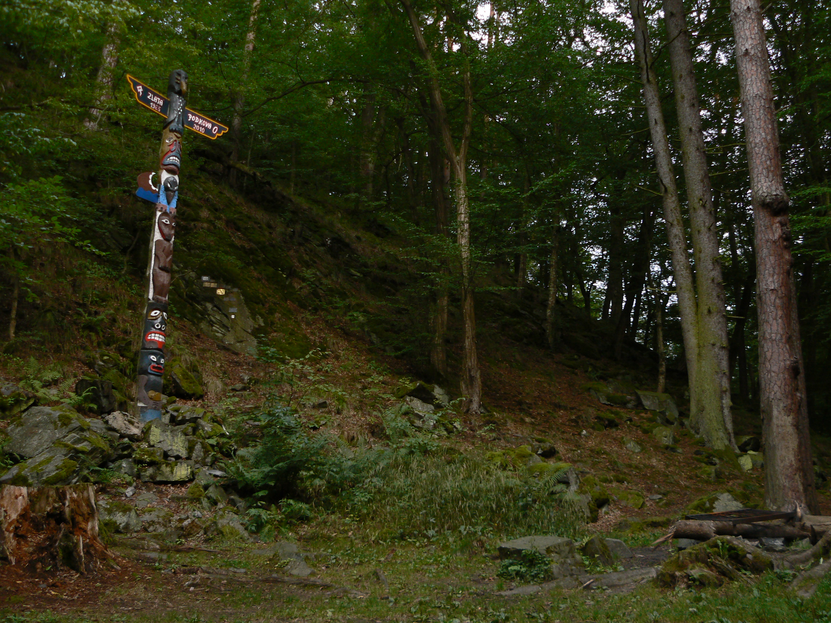
Nihov 010
After storm
Silver forest
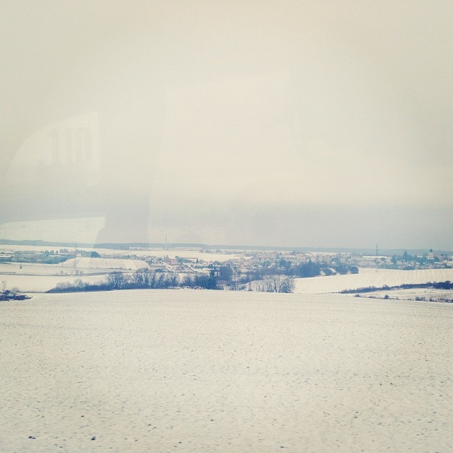
#white #snow #ontheroad #brno #igrsbrno

Jousting for the hearts of girls and ladies 2010

Sunset at Namest Airfield
Nihov 022
Tramping settlement

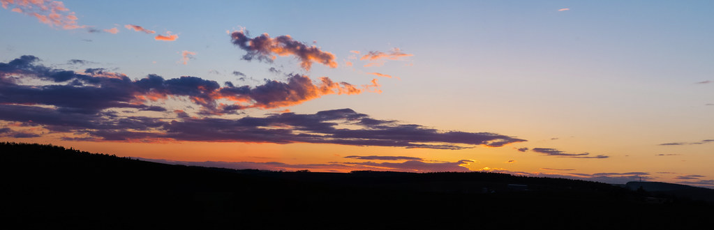
Burning sundown
Topographic Map of Karlov 95, Janovice, 01 Velká Bíteš, Czech Republic
Find elevation by address:

Places near Karlov 95, Janovice, 01 Velká Bíteš, Czech Republic:
Janovice
Návrší, Janovice, 01 Velká Bíteš, Czechia
Velká Bíteš
Lipová 36, 83 Přibyslavice, Czech Republic
Přibyslavice
Javůrek 43, 83 Javůrek, Czech Republic
Javůrek
Javůrek 4, 83 Javůrek, Czech Republic
Litava 14, 61 Olší, Czech Republic
Litava
Dolní Loučky
Olší
Střemchoví 4, 55 Dolní Loučky, Czech Republic
Střemchoví
Jemnice 14, 53 Strážek, Czech Republic
Sviny 18, 51 Sviny, Czech Republic
Sviny
Kostelní 16, 01 Tišnov, Czech Republic
Tišnov
Rohy
Recent Searches:
- Elevation of Corso Fratelli Cairoli, 35, Macerata MC, Italy
- Elevation of Tallevast Rd, Sarasota, FL, USA
- Elevation of 4th St E, Sonoma, CA, USA
- Elevation of Black Hollow Rd, Pennsdale, PA, USA
- Elevation of Oakland Ave, Williamsport, PA, USA
- Elevation of Pedrógão Grande, Portugal
- Elevation of Klee Dr, Martinsburg, WV, USA
- Elevation of Via Roma, Pieranica CR, Italy
- Elevation of Tavkvetili Mountain, Georgia
- Elevation of Hartfords Bluff Cir, Mt Pleasant, SC, USA