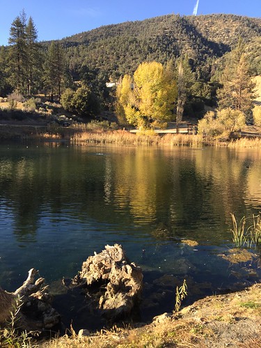
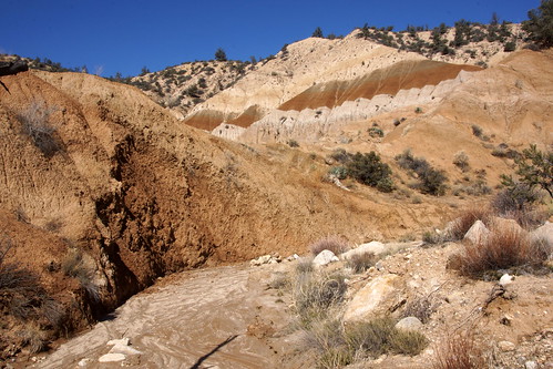
Elevation of Linden Dr, Frazier Park, CA, USA
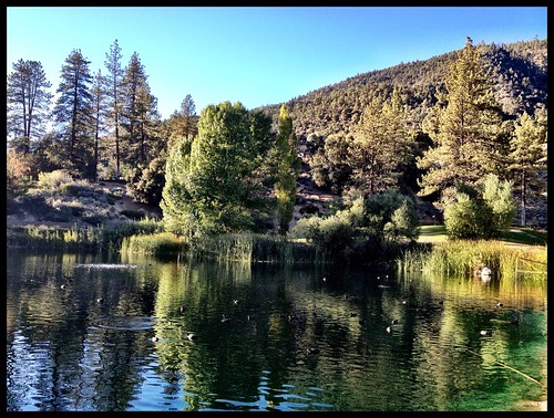
Location: United States > California > Kern County > Pine Mountain Club >

Longitude: -119.14203

Latitude: 34.8383118

Elevation: 1921m / 6302feet

Barometric Pressure: 80KPa

Elevation Map:

elevation map of Linden Dr, Frazier Park, CA, USA

Satellite Map:

Satellite map of Linden Dr, Frazier Park, CA, USA

Related Photos:

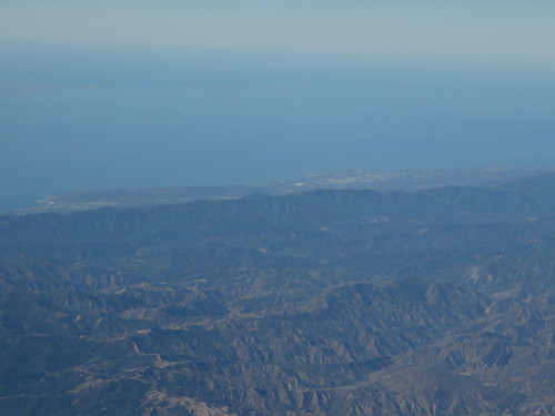
Santa Barbara, California
windwolvespreserve sanemigdiocanyon bakersfield canyon wildlands panorama vista panoramic wildlandsconservancy 2018 ravenslanding kerncounty spring grassland green sanemigdiocreek windwolves grass valley view natural
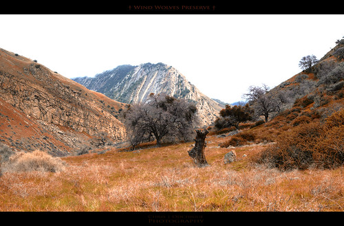
Wind Wolves Preserve
california ca usa mountain tree pine forest geotagged ir woods unitedstates hike filter infrared mtpinos infrarot infrarouge frazierpark 830nm 8000feethigh geo:lat=34813891 geo:lon=119120839
Infrared pine
california county canon eos wind kern usm preserve kpa taft ef wolves bakersfield 70200mm maricopa 50d ƒ4l
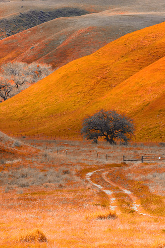
Road less travelled
california sunset silhouette aerial windowview airplanewindow lateafternoon mountpinos
Mount Pinos
california mountains hiking kern kerncounty
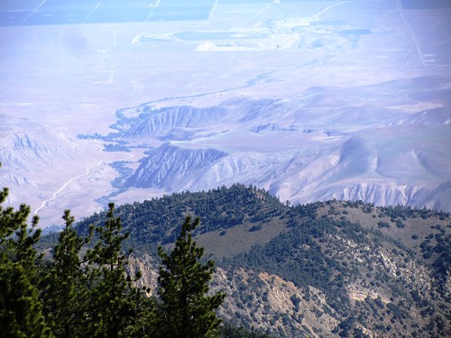
View from Mount Pinos 1
Looking down from atop the San Emidio Range
snow cold pinemountainclub pentaxkd10
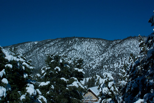
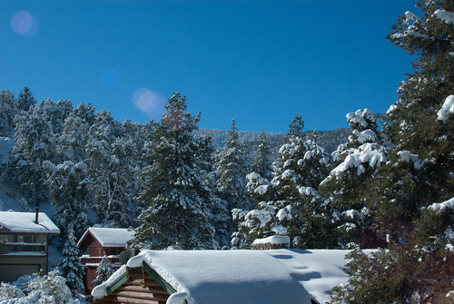
View from the deck
california county canon eos wind kern usm preserve kpa taft ef wolves bakersfield 70200mm maricopa 50d ƒ4l
Wind Wolves Preserve
Contrails over California
california county canon eos wind mark kern ii 5d usm preserve kpa taft ef wolves bakersfield maricopa 2470mm ƒ28l
Wind Wolves Preserve
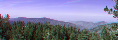
View North from the Summit Pan 3d
snow cold pinemountainclub pentaxkd10
Southwest view
rural california october 2012 sonynex7 free creativecommons
Forest Views
square squareformat iphoneography instagramapp uploaded:by=instagram foursquare:venue=4b942f69f964a5206f6d34e3
The view from our campsite
california snow mountains skiing centralvalley
Mt. Pinos - X-Country Skiing - 3/23/08 - DSCF0590.JPG
california snow 3d anaglyph sdm hdr sierranevadas mapped jaysdesk redcyan canonpowershota590is photomatixpro3
View NNE from the Summit HDR 3d
california trees snow mountains
Mt. Pinos - X-Country Skiing - 3/23/08 - DSCF0616.JPG
california snow mountains skiing view
Mt. Pinos - X-Country Skiing - 3/23/08 - DSCF0604.JPG
california snow mountains skiing
Mt. Pinos - X-Country Skiing - 3/23/08 - DSCF0587.JPG
california skiing crosscountry nordic southerncalifornia pinos crosscountryskiing mtpinos mountpinos
View from the summit of Mt Pinos
america jfflickr kerncounty mountain nature painting photosbydavid plant postedonfb postedonflickr sky snow tree unitedstates usa frazierpark california
Drainage Path (p)
trees pine rural california october 2012 sonynex7 geotagged free creativecommons
Pine Strand
rural california october 2012 sonynex7 free creativecommons
On The Frontier
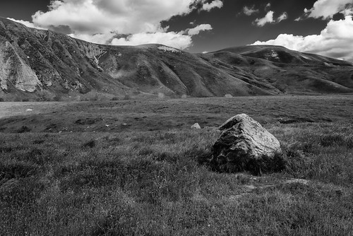
windwolvespreserve bw blackandwhite d750 green landscape lightroom monochrome nature nikon silverefexpro boulder erosion hills foothills sky clouds grassland
Far from home
0325-095110
0325-082345b
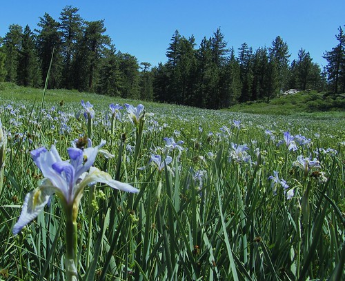
mountainmeadow mtpinos irismissouriensis westernblueflag jeffreypines campchulavista
High Mountain Meadow Filled With Western Blue Flag
shasta dogs
IMG_5619.jpg
0421-133637
iphone october 2012 free creativecommons
Fall setting in
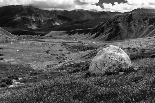
windwolvespreserve d750 green landscape lightroom nature nikon bw blackandwhite monochrome silverefexpro rock stone
Like a rolling stone
clouds rural california geotagged nikond80 nikon d80 october 2011 free creativecommons
Before the Rains
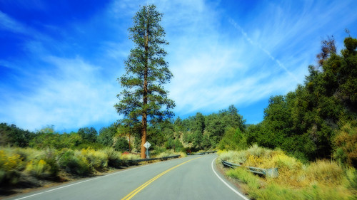
orton digitalart rural california october 2012 emptyroad geotagged sonynex7 free creativecommons
Taken Back
iphone october 2012 free creativecommons
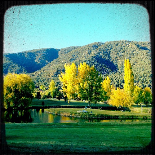
Fall on the water
L7250008.NEF
Cuyama River Valley
Pine Mountain Club
0325-094208