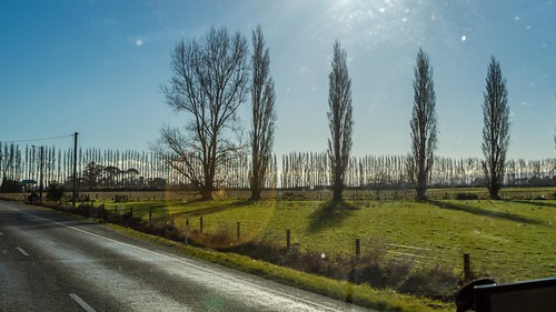
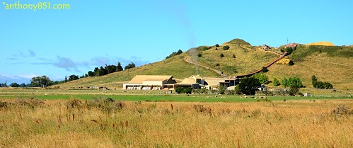
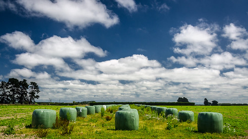
Elevation of Limehills, New Zealand
Location: New Zealand > Southland >
Longitude: 168.333577
Latitude: -46.065887
Elevation: 70m / 230feet
Barometric Pressure: 100KPa
Related Photos:
Topographic Map of Limehills, New Zealand
Find elevation by address:

Places near Limehills, New Zealand:
10 Atlas Street
Winton
Oreti Plains
64 Lochiel Bridge Road
Dipton
Wallacetown
352 Lorne-dacre Rd
Lorne-dacre Road
Rakahouka
15 Weka St
Waikiwi
Roslyn Bush
Hargest
66 Russel St
Matai Street
11 Chelmsford Street
Gladstone
Windsor
10 Mcintyre Rd
Lumsden
Recent Searches:
- Elevation of Corso Fratelli Cairoli, 35, Macerata MC, Italy
- Elevation of Tallevast Rd, Sarasota, FL, USA
- Elevation of 4th St E, Sonoma, CA, USA
- Elevation of Black Hollow Rd, Pennsdale, PA, USA
- Elevation of Oakland Ave, Williamsport, PA, USA
- Elevation of Pedrógão Grande, Portugal
- Elevation of Klee Dr, Martinsburg, WV, USA
- Elevation of Via Roma, Pieranica CR, Italy
- Elevation of Tavkvetili Mountain, Georgia
- Elevation of Hartfords Bluff Cir, Mt Pleasant, SC, USA


