Elevation of 64 Lochiel Bridge Road, Lochiel, New Zealand
Location: New Zealand > Southland >
Longitude: 168.332426
Latitude: -46.204963
Elevation: 38m / 125feet
Barometric Pressure: 101KPa
Elevation Map:
Satellite Map:
Related Photos:

Bluff To Te Anau Road Views-3

Bluff To Te Anau Road Views-2

01 Winton Industrial area New-Zealand
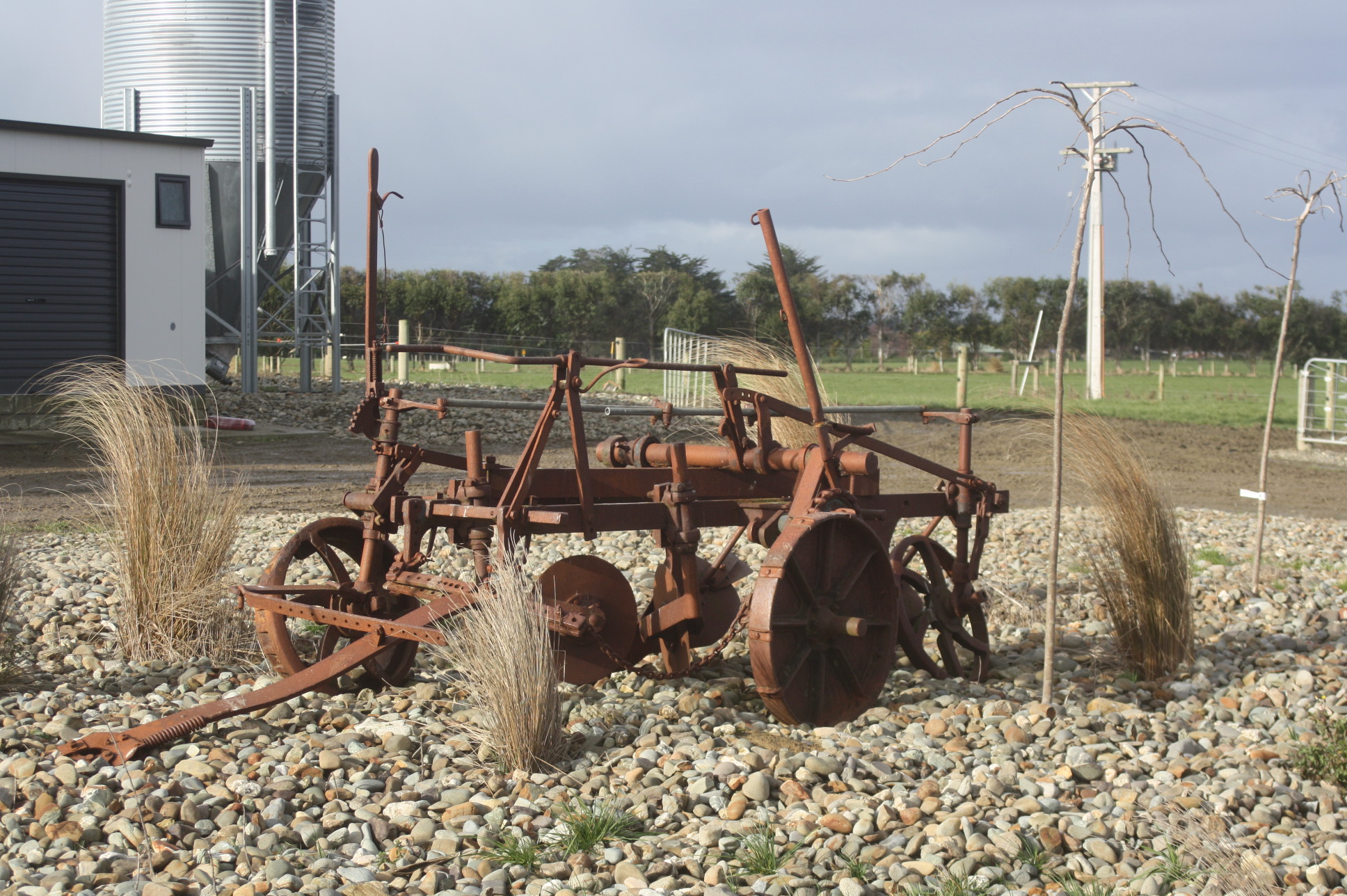
Old Plough

24-07-2011 (2)

02 Winton Industrial area New-Zealand

Beeee ????

And back on the road

Morning Mist

Oats Crop

Oats Crop

Massey-Ferguson 35

Allis-Chalmers 200 hay baler

Potato Harvesting

Potato Harvesting

Massey-Ferguson 35

Oats Crop

Massey-Ferguson 35 & Massey-Harris Binder

Forest Hill

Spring in Southland NZ

Massey-Ferguson 35 & Massey-Harris Binder

Massey-Ferguson 35 & Massey-Harris Binder

Blechnum membranaceum (Forest Hill) (1)

Blechnum membranaceum (Forest Hill) (4)

Bye Bye September 2015 !

John-Deere 1085

Blechnum membranaceum (Forest Hill) (2)
Topographic Map of 64 Lochiel Bridge Road, Lochiel, New Zealand
Find elevation by address:

Places near 64 Lochiel Bridge Road, Lochiel, New Zealand:
Winton
Oreti Plains
Wallacetown
Limehills
10 Atlas Street
352 Lorne-dacre Rd
15 Weka St
Lorne-dacre Road
Waikiwi
66 Russel St
Hargest
Matai Street
Gladstone
11 Chelmsford Street
Windsor
Rakahouka
Roslyn Bush
10 Mcintyre Rd
Dipton
17 Palmerston St
Recent Searches:
- Elevation of Corso Fratelli Cairoli, 35, Macerata MC, Italy
- Elevation of Tallevast Rd, Sarasota, FL, USA
- Elevation of 4th St E, Sonoma, CA, USA
- Elevation of Black Hollow Rd, Pennsdale, PA, USA
- Elevation of Oakland Ave, Williamsport, PA, USA
- Elevation of Pedrógão Grande, Portugal
- Elevation of Klee Dr, Martinsburg, WV, USA
- Elevation of Via Roma, Pieranica CR, Italy
- Elevation of Tavkvetili Mountain, Georgia
- Elevation of Hartfords Bluff Cir, Mt Pleasant, SC, USA