Elevation of Lime Creek, IA, USA
Location: United States > Iowa > Washington County >
Longitude: -91.870861
Latitude: 41.4661178
Elevation: 241m / 791feet
Barometric Pressure: 98KPa
Elevation Map:
Satellite Map:
Related Photos:

frosted trees

frozen tree

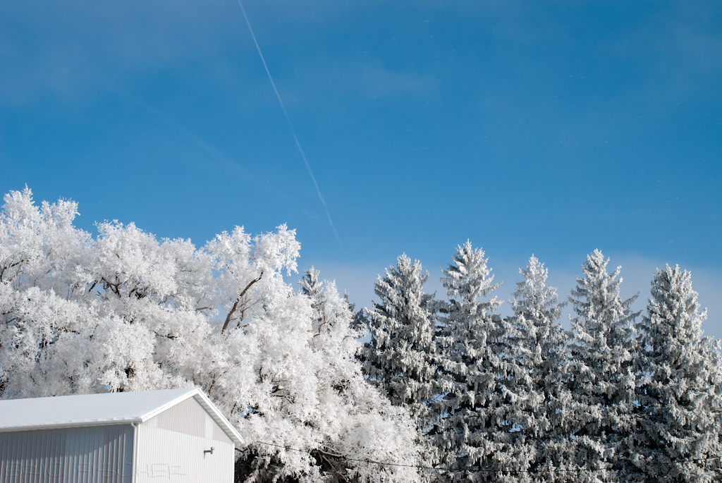
snowy shelter

frosted tree

white trees
frosted dichotomy

frosted tree

frosted trees

icy ride home
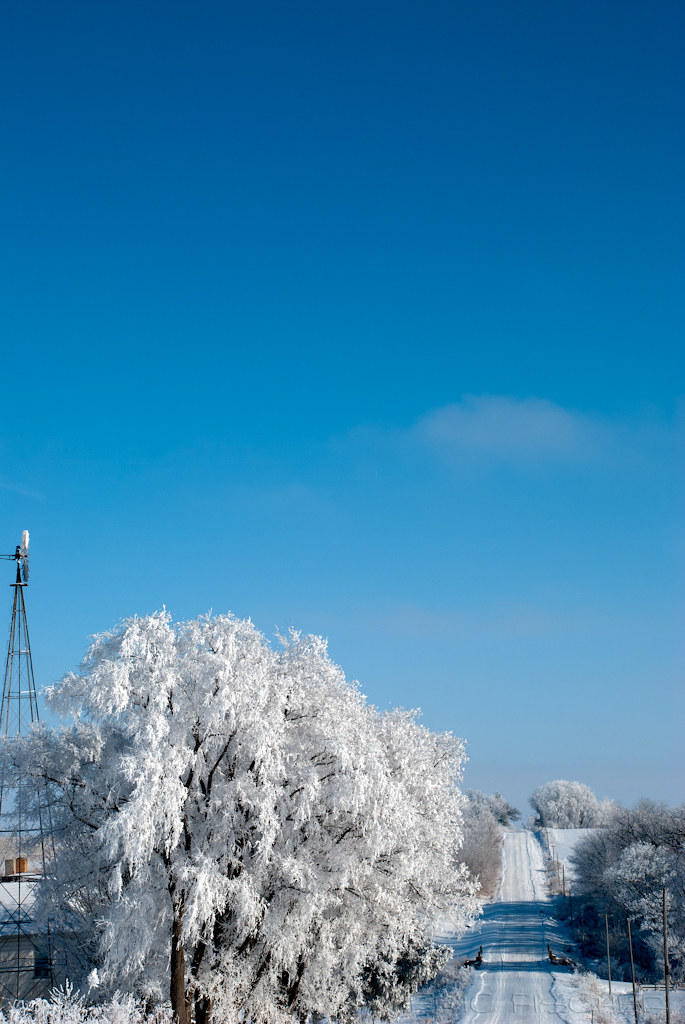
frosted trail
MorganReunion2012_022.jpg
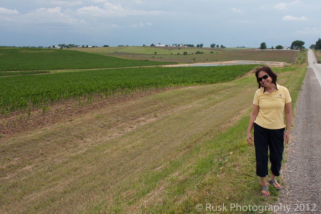
Iowa Spring
Topographic Map of Lime Creek, IA, USA
Find elevation by address:

Places in Lime Creek, IA, USA:
Places near Lime Creek, IA, USA:
Wellman
8th Ave SE, Wellman, IA, USA
Keota
Washington
English River
A Ave, Kalona, IA, USA
Kalona
Washington County
Knepps
Fillmore
Lafayette
th St SW, Kalona, IA, USA
Cleveland St, Parnell, IA, USA
Parnell
North English
S Highland St, North English, IA, USA
Troy
th St SW, Kalona, IA, USA
Williamsburg
Washington
Recent Searches:
- Elevation of Corso Fratelli Cairoli, 35, Macerata MC, Italy
- Elevation of Tallevast Rd, Sarasota, FL, USA
- Elevation of 4th St E, Sonoma, CA, USA
- Elevation of Black Hollow Rd, Pennsdale, PA, USA
- Elevation of Oakland Ave, Williamsport, PA, USA
- Elevation of Pedrógão Grande, Portugal
- Elevation of Klee Dr, Martinsburg, WV, USA
- Elevation of Via Roma, Pieranica CR, Italy
- Elevation of Tavkvetili Mountain, Georgia
- Elevation of Hartfords Bluff Cir, Mt Pleasant, SC, USA