Elevation of Keota, IA, USA
Location: United States > Iowa > Keokuk County > Lafayette >
Longitude: -91.953785
Latitude: 41.3639015
Elevation: 243m / 797feet
Barometric Pressure: 98KPa
Elevation Map:
Satellite Map:
Related Photos:
70812-081, Urban Renewal Project in Rubio, Iowa

Belva-Deer Recreation Area

Belva-Deer Recreation Area

Belva-Deer Recreation Area
Keokuk County, Iowa
Wellman, Iowa

Lake Belva-Deer Sunrise
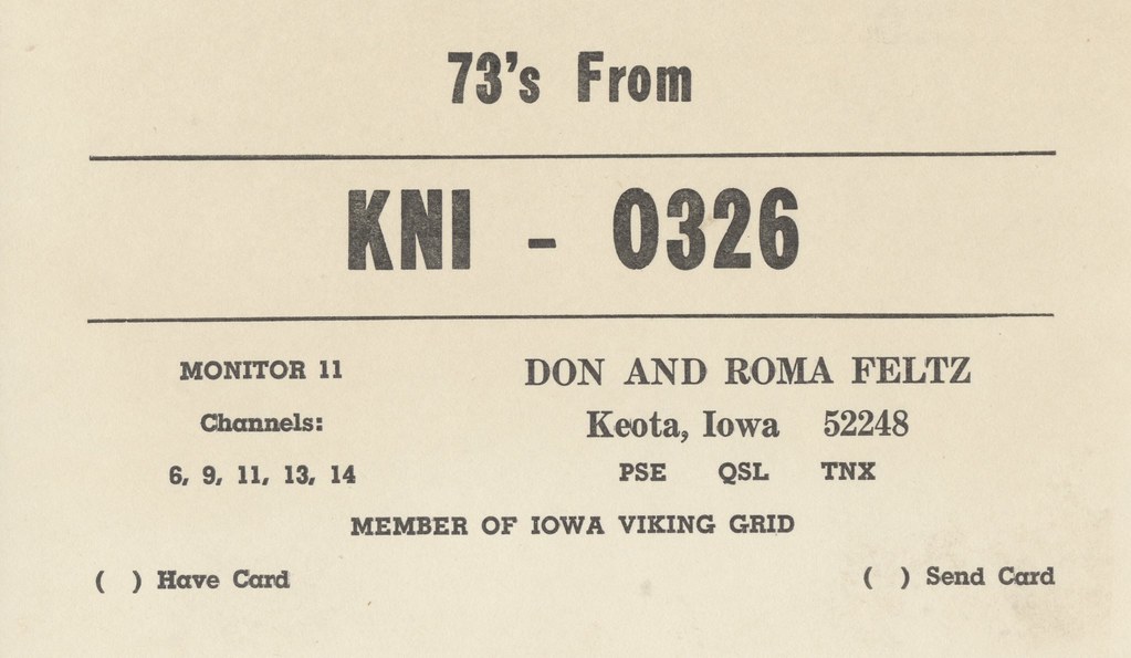
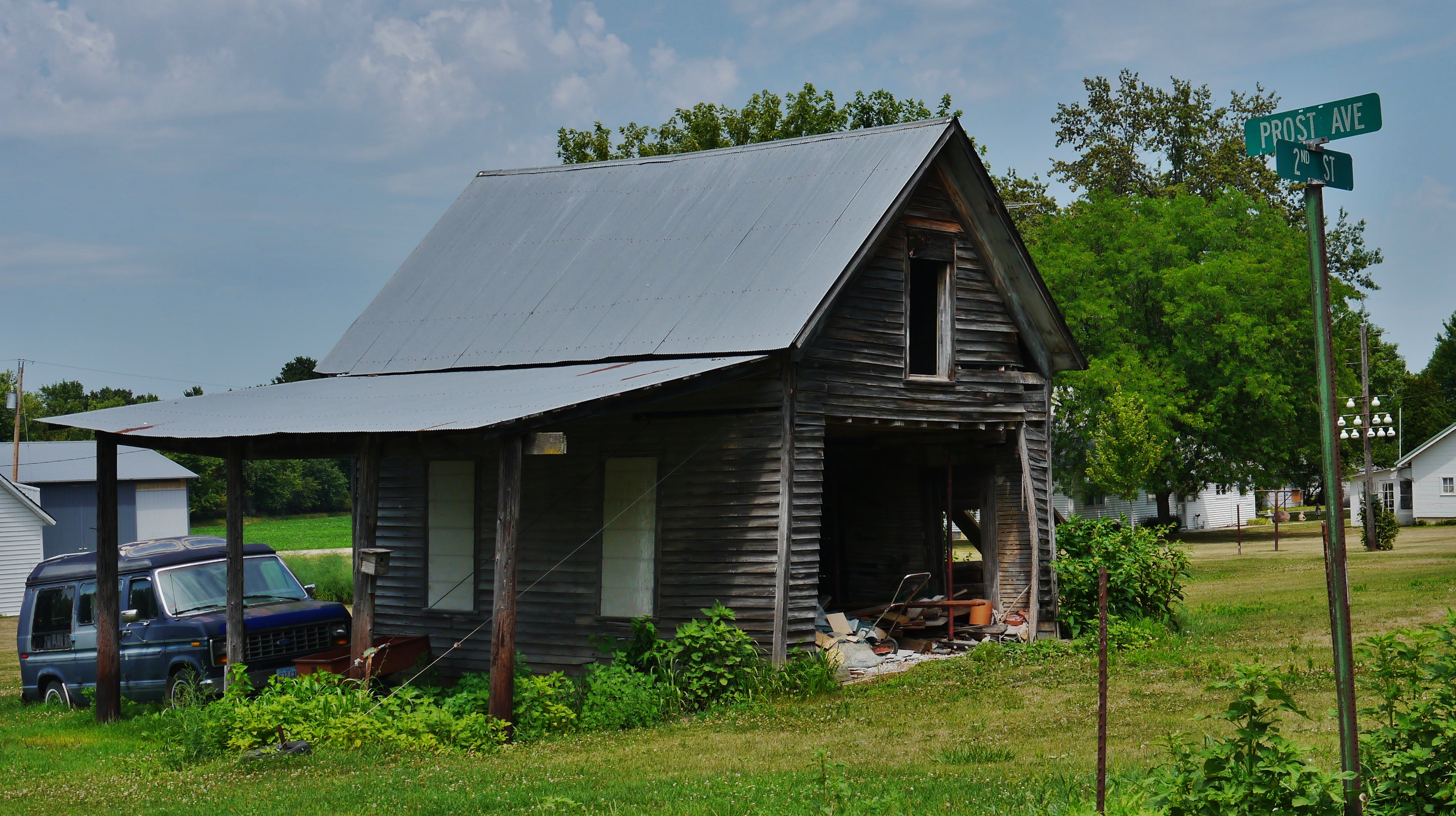
Don & Roma Feltz - Keota, Iowa

RAGBRAI 2016

RAGBRAI 2016

RAGBRAI 2016

Taking in the scenery in Iowa

Aermotor Windmills

#Vintage

????

Lou & Claire Licht

2009-8-5-0002

2009-8-5-0001
Lake Belva- Deer Camping
Brent's truck

Belva-Deer Recreation Area

Belva-Deer Recreation Area

Belva-Deer Recreation Area

Belva-Deer Recreation Area
Topographic Map of Keota, IA, USA
Find elevation by address:

Places near Keota, IA, USA:
Lafayette
Lime Creek
Birch Ave, Clay, IA, USA
Wellman
8th Ave SE, Wellman, IA, USA
Clay
Lake Belva Deer
North English
S Highland St, North English, IA, USA
Washington County
Fillmore
Cleveland St, Parnell, IA, USA
Parnell
303 E Jackson St
303 E Pleasant Valley St
303 E Pleasant Valley St
Sigourney
Us Post Office
2111 290th St
IA-, Sigourney, IA, USA
Recent Searches:
- Elevation of Corso Fratelli Cairoli, 35, Macerata MC, Italy
- Elevation of Tallevast Rd, Sarasota, FL, USA
- Elevation of 4th St E, Sonoma, CA, USA
- Elevation of Black Hollow Rd, Pennsdale, PA, USA
- Elevation of Oakland Ave, Williamsport, PA, USA
- Elevation of Pedrógão Grande, Portugal
- Elevation of Klee Dr, Martinsburg, WV, USA
- Elevation of Via Roma, Pieranica CR, Italy
- Elevation of Tavkvetili Mountain, Georgia
- Elevation of Hartfords Bluff Cir, Mt Pleasant, SC, USA