Elevation of Liberty, IA, USA
Location: United States > Iowa > O'brien County >
Longitude: -95.582733
Latitude: 42.9418771
Elevation: 441m / 1447feet
Barometric Pressure: 96KPa
Elevation Map:
Satellite Map:
Related Photos:
IC-CNWx-ing CalumetIA
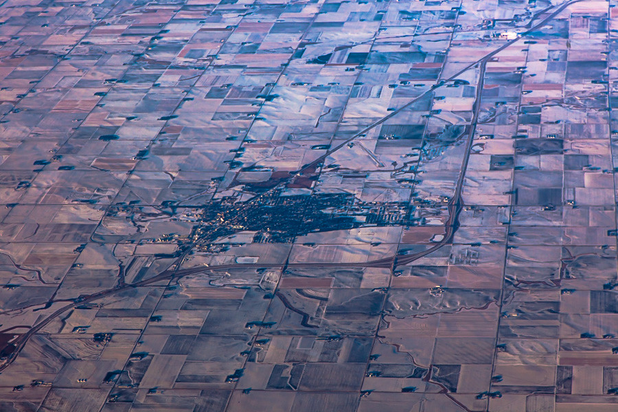
Aerial View of Sheldon, Iowa

Follow the right path...

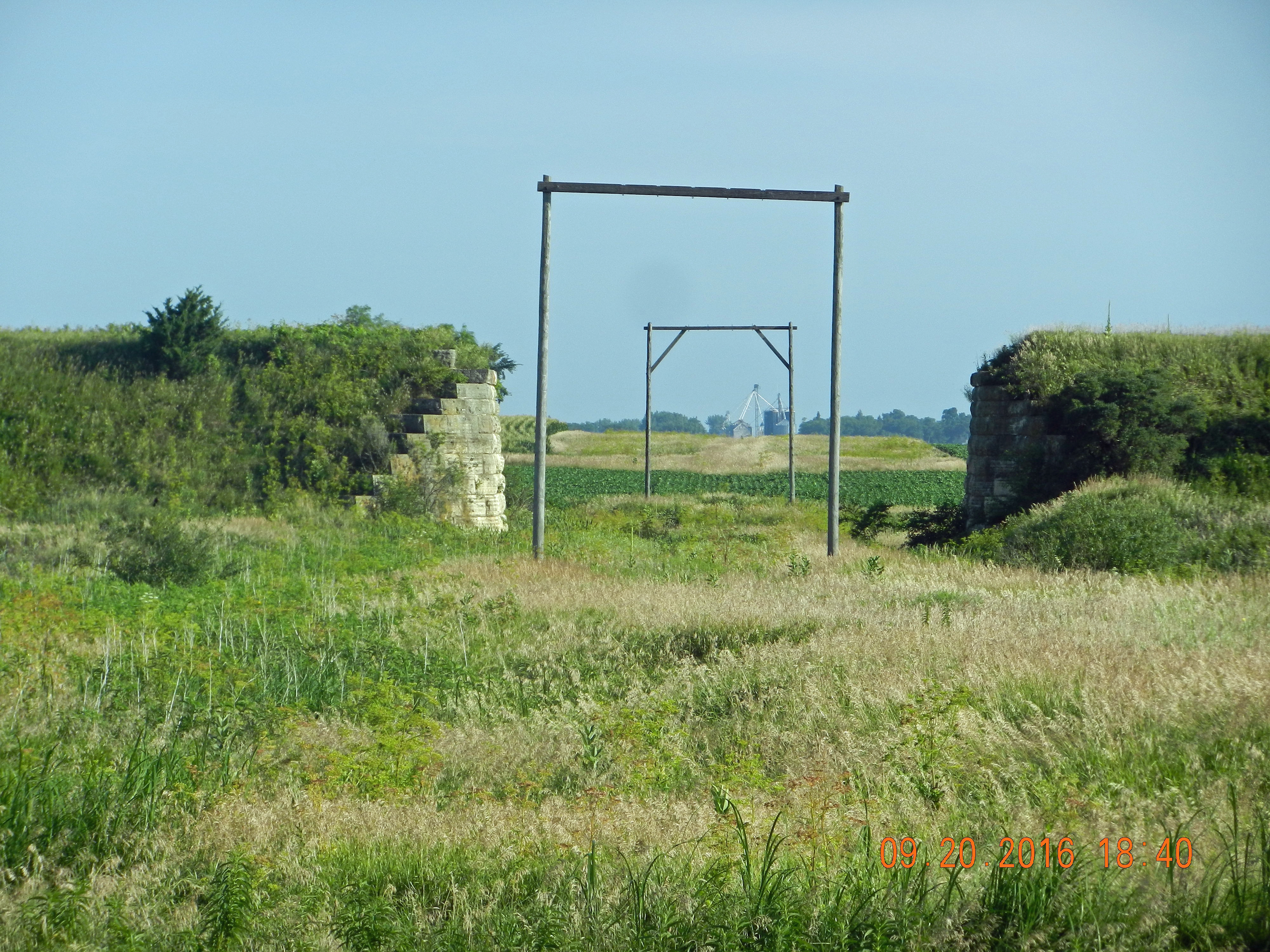
Silent Solemnity
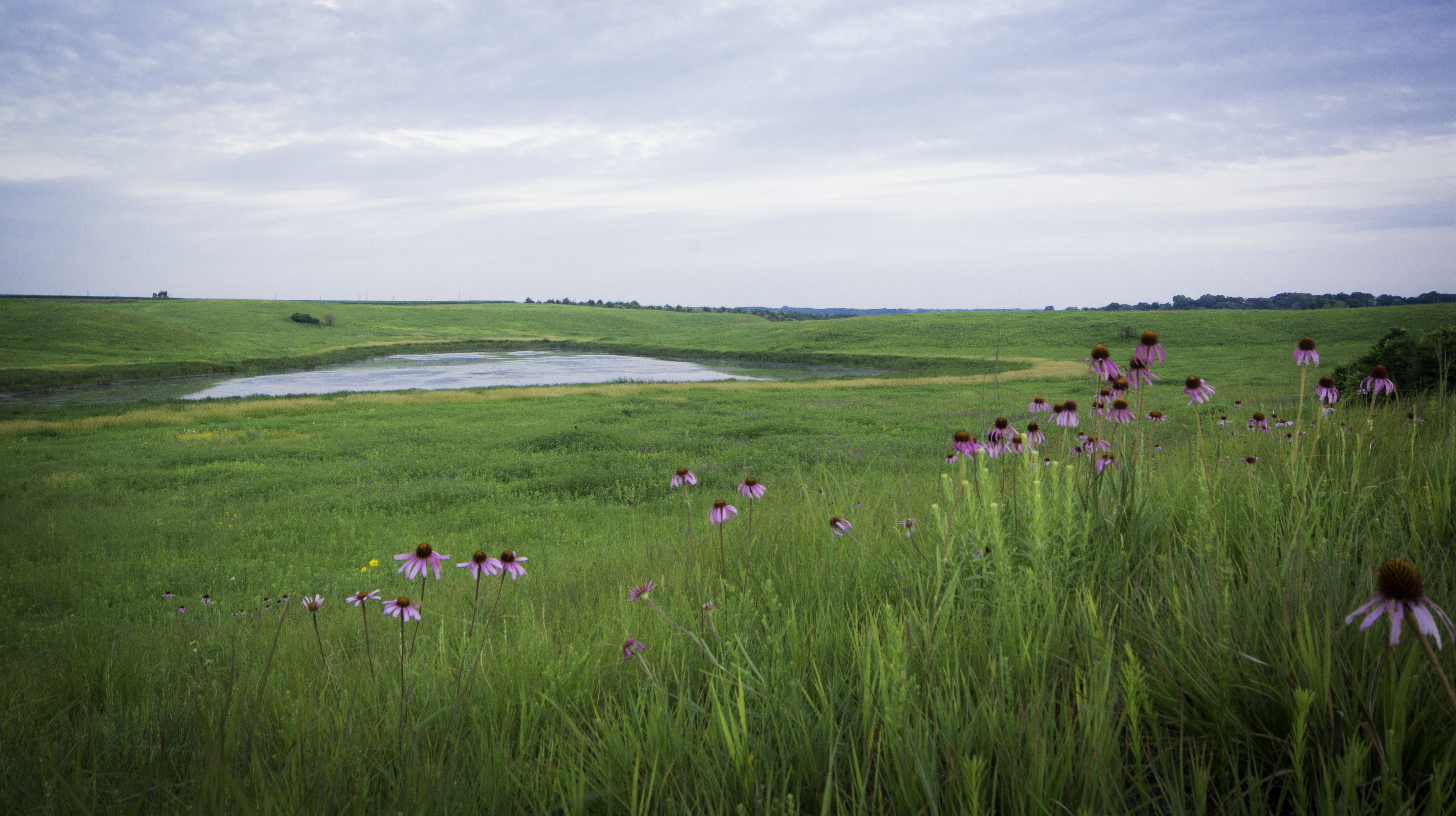
Coneflowers at Waterman Praire

Dragonfly - Paullina, IA
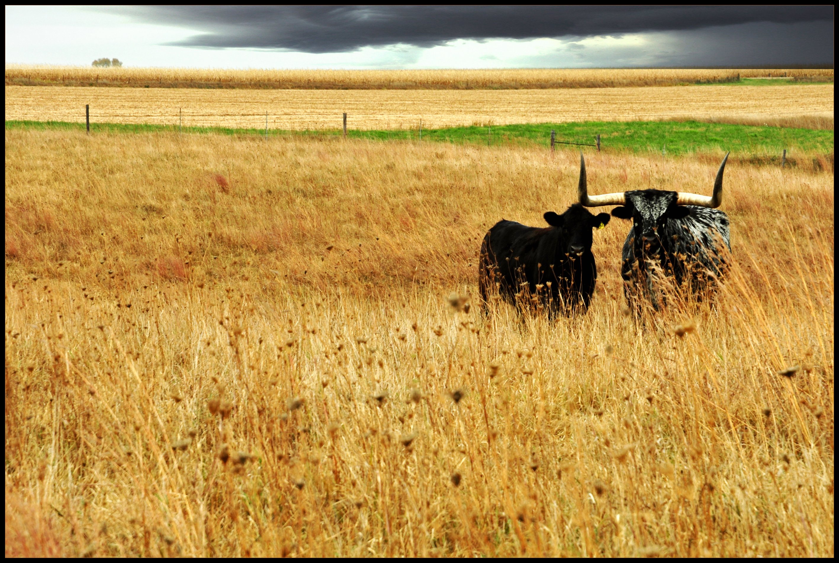
Beauty and the Beast
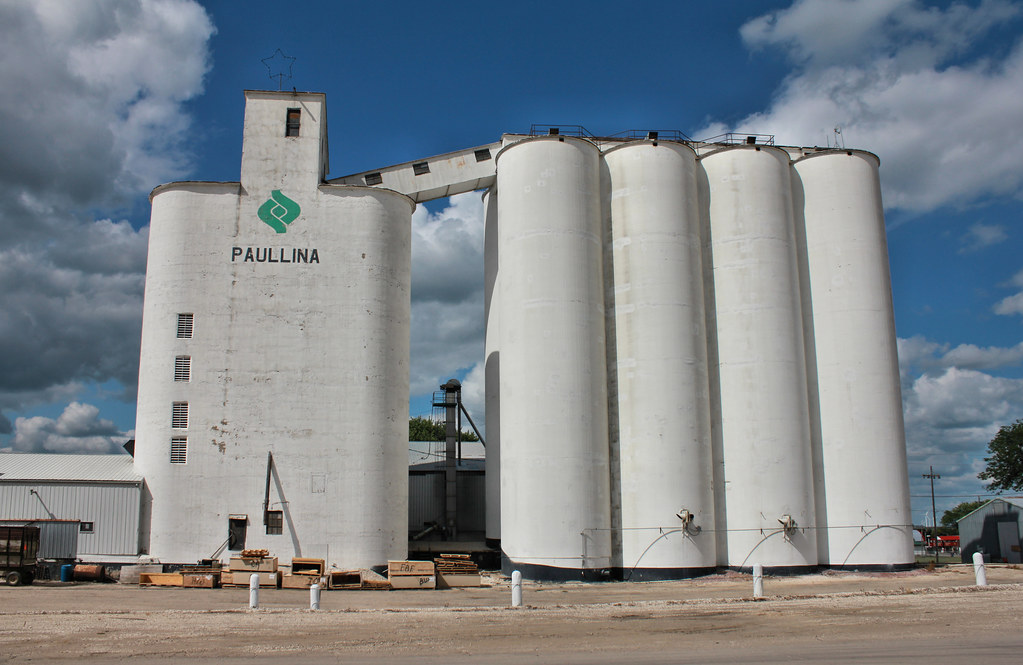
Paullina Farmers Cooperative Co. Elevator - Paullina, IA

Visitor Meanwhile
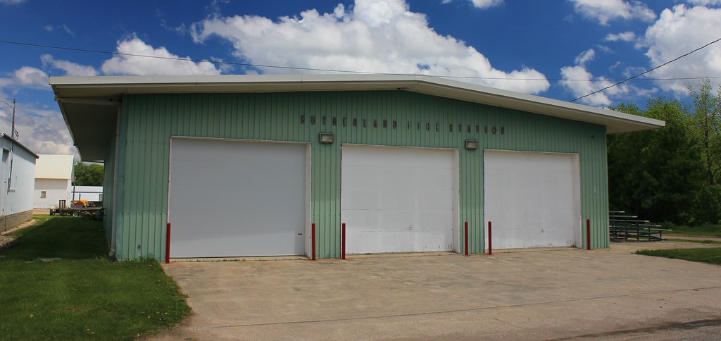
Fire Station - Sutherland, IA
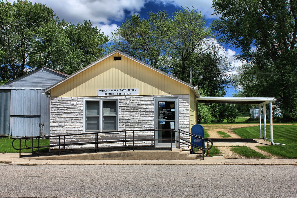
Post Office - Larrabee, IA
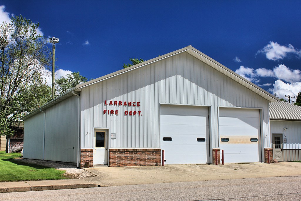
Fire Station - Larrabee, IA
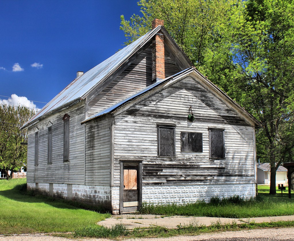
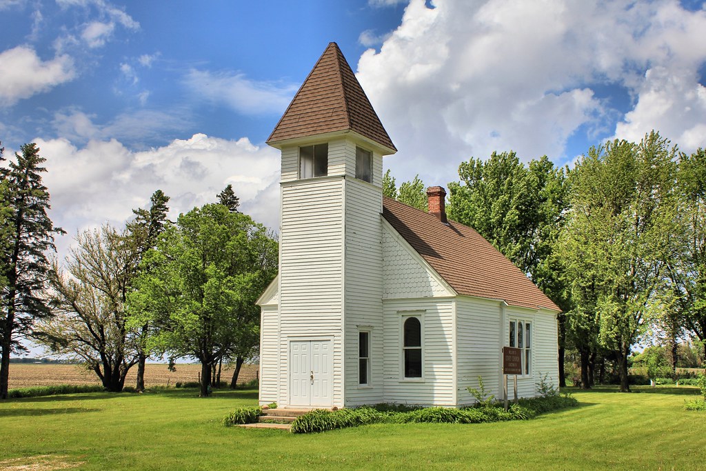
Abandoned Church - Larrabee, IA
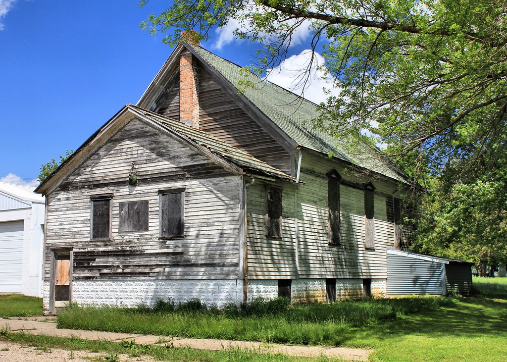
Abandoned Church - Larrabee, IA
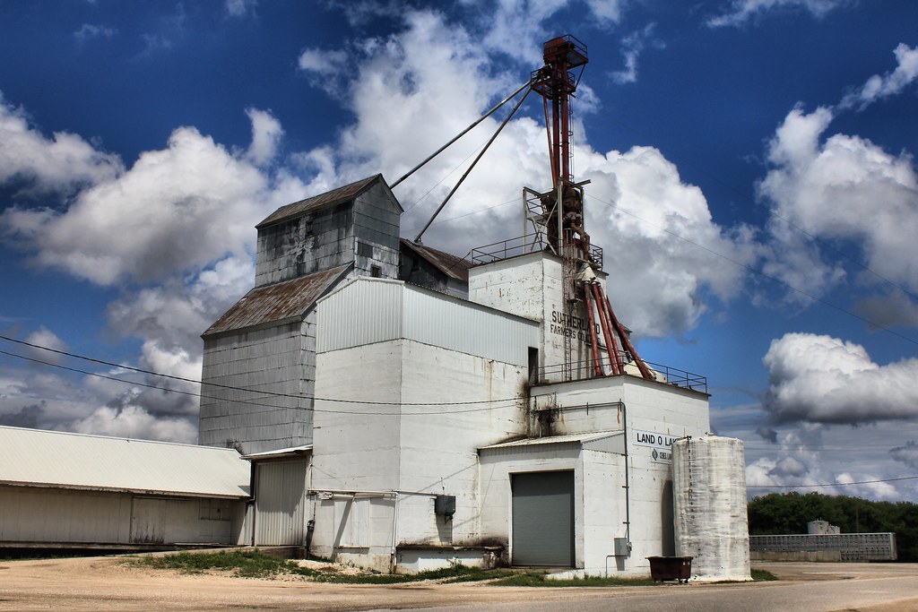
Sutherland Farmers Co-Op Elevator - Sutherland, IA
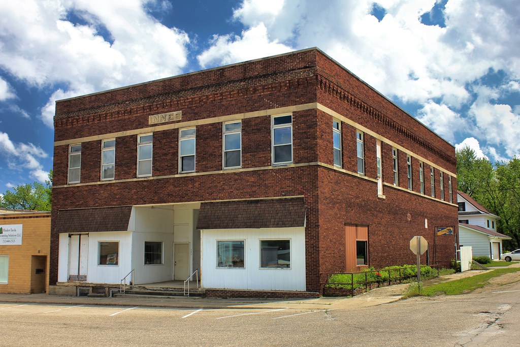
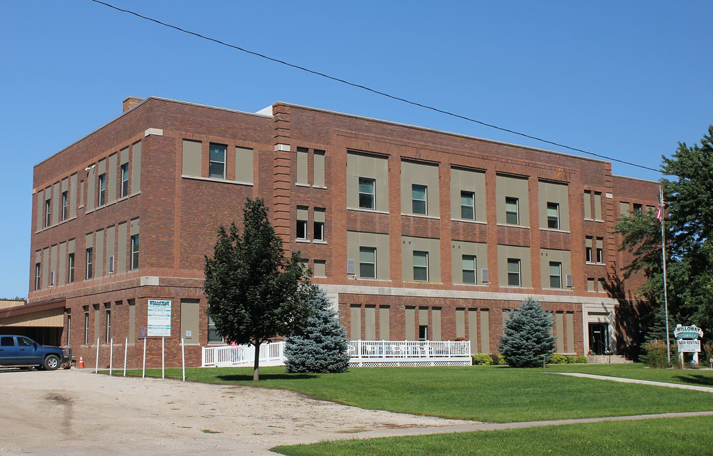
Innes Building - Sutherland, IA
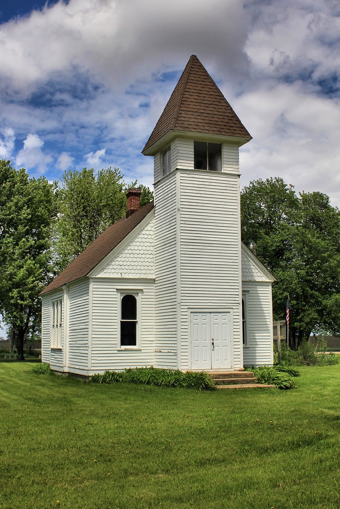
Covey Church - rural Hartley, IA
Covey Church - rural Hartley, IA

Covey Church - rural Hartley, IA
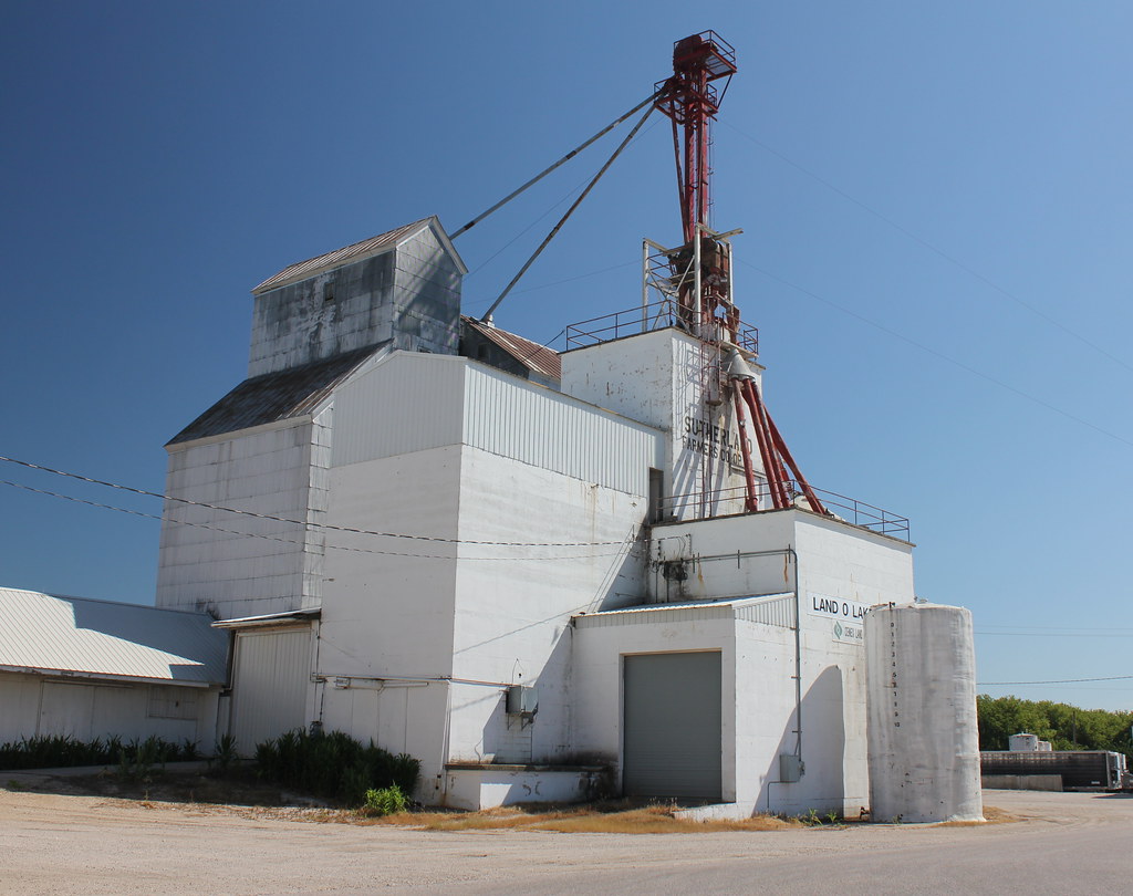
Sutherland Farmers Co-Op Elevator - Sutherland, IA
Sutherland Consolidated School - Sutherland, IA
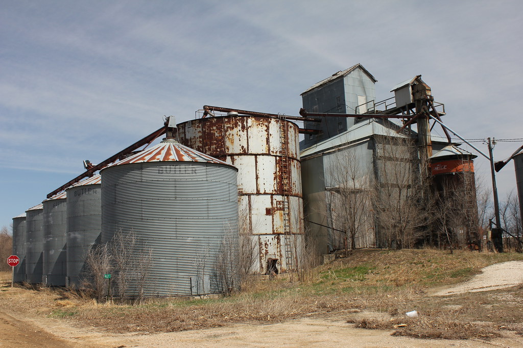
Grain Elevator - Gaza, IA
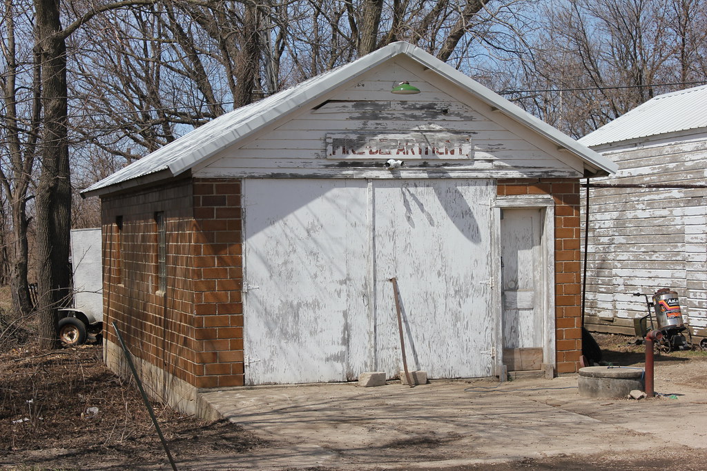
Fire Station - Gaza, IA
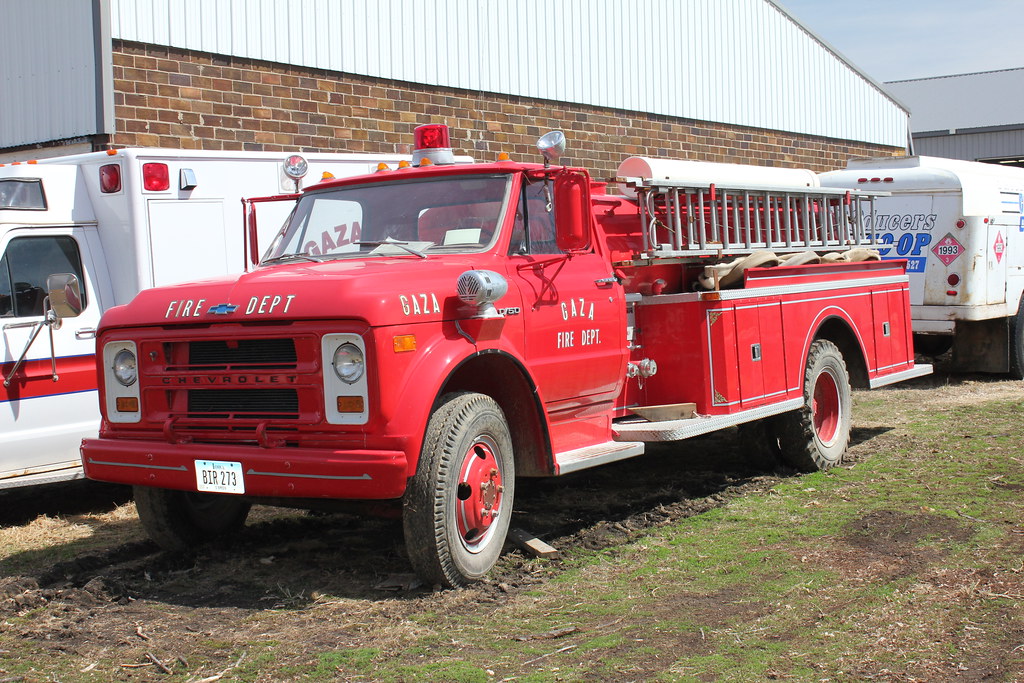
Fire Truck - Gaza, IA
Topographic Map of Liberty, IA, USA
Find elevation by address:

Places in Liberty, IA, USA:
Places near Liberty, IA, USA:
Calumet
S Railway Ave, Calumet, IA, USA
Cherokee
N 2nd St, Cherokee, IA, USA
517 N 11th St
Cherokee
202 E Main St
Lake St, Cherokee, IA, USA
Pilot
Peterson
3 E 4th St
Main St, Peterson, IA, USA
304 Park St
Peterson
20th Ave, Aurelia, IA, USA
Clay
Aurelia
Main St, Aurelia, IA, USA
Pitcher
Lone Tree
Recent Searches:
- Elevation of Corso Fratelli Cairoli, 35, Macerata MC, Italy
- Elevation of Tallevast Rd, Sarasota, FL, USA
- Elevation of 4th St E, Sonoma, CA, USA
- Elevation of Black Hollow Rd, Pennsdale, PA, USA
- Elevation of Oakland Ave, Williamsport, PA, USA
- Elevation of Pedrógão Grande, Portugal
- Elevation of Klee Dr, Martinsburg, WV, USA
- Elevation of Via Roma, Pieranica CR, Italy
- Elevation of Tavkvetili Mountain, Georgia
- Elevation of Hartfords Bluff Cir, Mt Pleasant, SC, USA