Elevation of Lewis School Rd, Leitchfield, KY, USA
Location: United States > Kentucky > Grayson County > Leitchfield >
Longitude: -86.376887
Latitude: 37.5557272
Elevation: 213m / 699feet
Barometric Pressure: 99KPa
Elevation Map:
Satellite Map:
Related Photos:

Homeland Security

who is this ? ( Thiodina )

Back Porch View
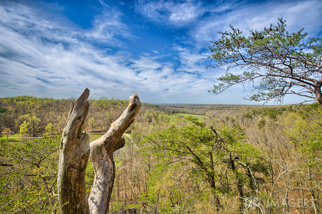
Pine Knob - The View

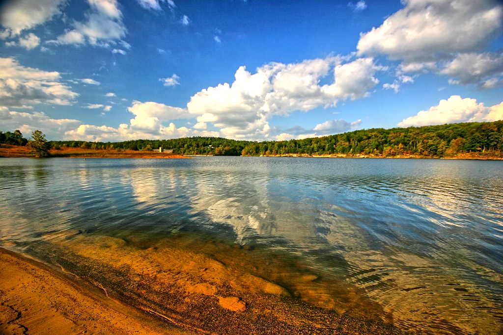
Lake View

Falls of Rough

Falls of Rough Mill - Oct 2016

Falls of Rough - Mill at Sunset

Falls of Rough

Rural Sun Rays

Redi-Rock_Cobblestone_Gravity_Commercial_Redi-RockKIT_PublicLibrary_2.jpg

Rough River campground and dam

Late Afternoon at the Lake

old sliding doors

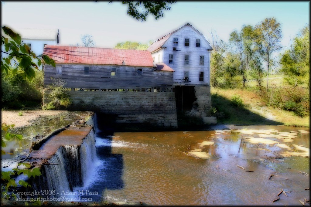
Green Brothers Mill at the Fall of Rough

stairway to heaven?

Greens Farm Mill
Greens Farm Mill

Rough River Dam
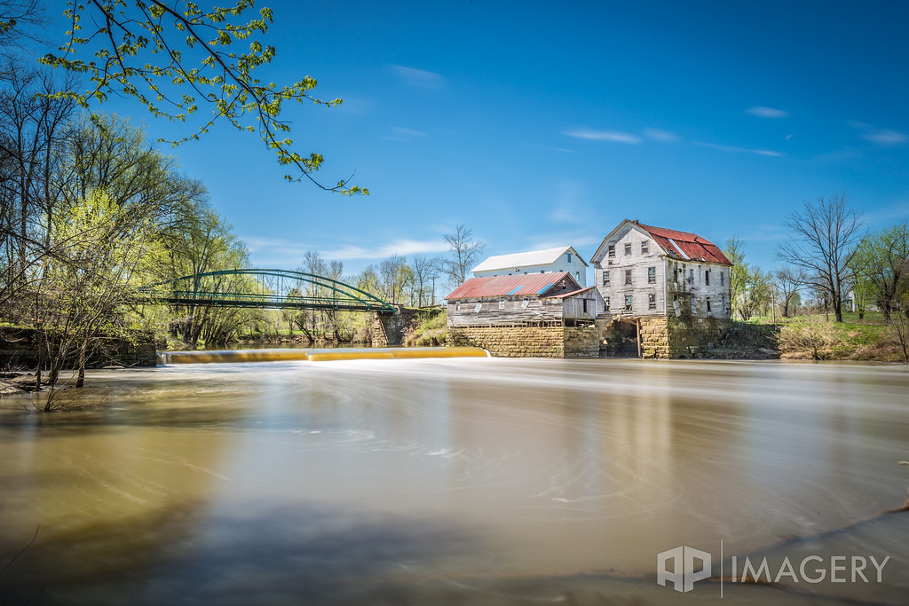
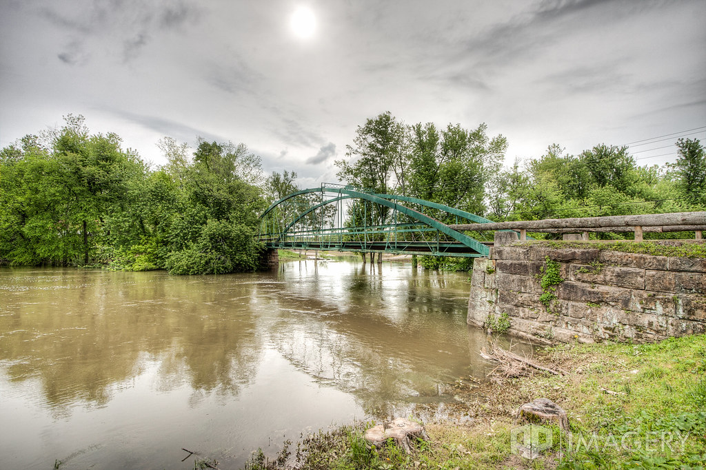
Falls of Rough - Mill and Bridge
Falls of Rough

Falls of Rough - Mill
Water and clouds I
Falls of Rough - Bridge

Saw Mill Foundation 2012

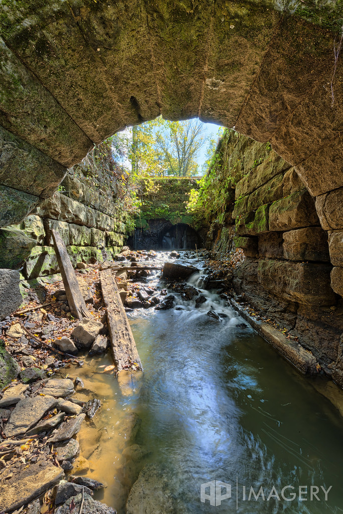
Dam Tailwater
Topographic Map of Lewis School Rd, Leitchfield, KY, USA
Find elevation by address:

Places near Lewis School Rd, Leitchfield, KY, USA:
South Ln, Leitchfield, KY, USA
2040 Hickory Grove Rd
Carwile Rd, Leitchfield, KY, USA
715 Sunbeam Rd
Grayson County
307 Fraim St
West Main Street
510 Wilson Dr
403 W Walnut St
510 Ky-259
510 Ky-259
Leitchfield
588 Circle Hill Rd
480 Circle Hill Rd
Circle Hill Rd, Vanzant, KY, USA
Paulette Way
129 Cedar Cove Rd
425 Dinwiddie Skaggs Rd
Salt River Rd, Leitchfield, KY, USA
6290 Shrewsbury Rd
Recent Searches:
- Elevation of Corso Fratelli Cairoli, 35, Macerata MC, Italy
- Elevation of Tallevast Rd, Sarasota, FL, USA
- Elevation of 4th St E, Sonoma, CA, USA
- Elevation of Black Hollow Rd, Pennsdale, PA, USA
- Elevation of Oakland Ave, Williamsport, PA, USA
- Elevation of Pedrógão Grande, Portugal
- Elevation of Klee Dr, Martinsburg, WV, USA
- Elevation of Via Roma, Pieranica CR, Italy
- Elevation of Tavkvetili Mountain, Georgia
- Elevation of Hartfords Bluff Cir, Mt Pleasant, SC, USA