Elevation of Circle Hill Rd, Vanzant, KY, USA
Location: United States > Kentucky > Grayson County >
Longitude: -86.491688
Latitude: 37.6040416
Elevation: 168m / 551feet
Barometric Pressure: 99KPa
Elevation Map:
Satellite Map:
Related Photos:

who is this ? ( Thiodina )
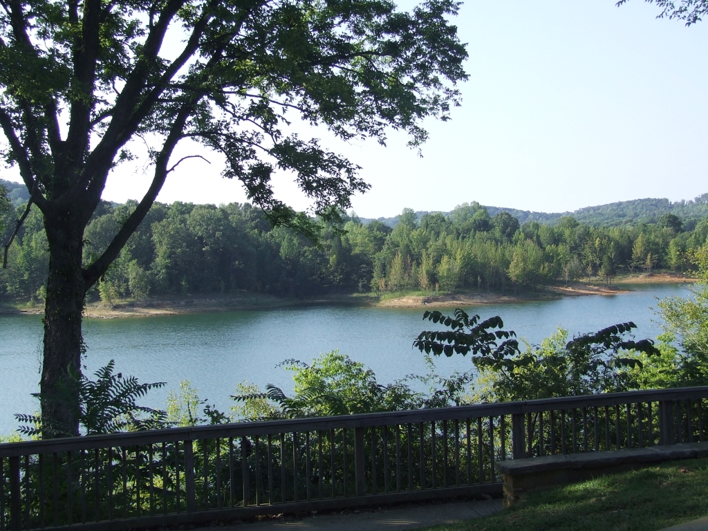
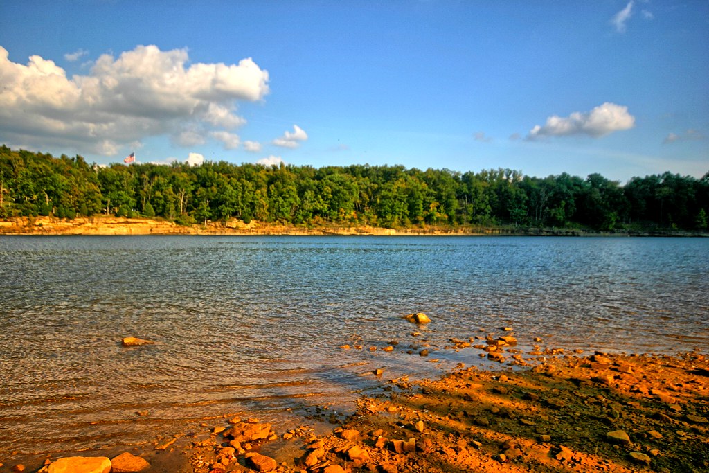
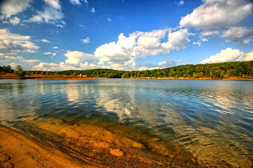
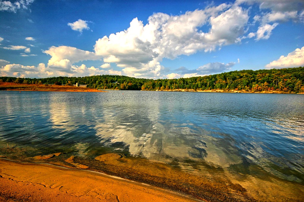
Lake View
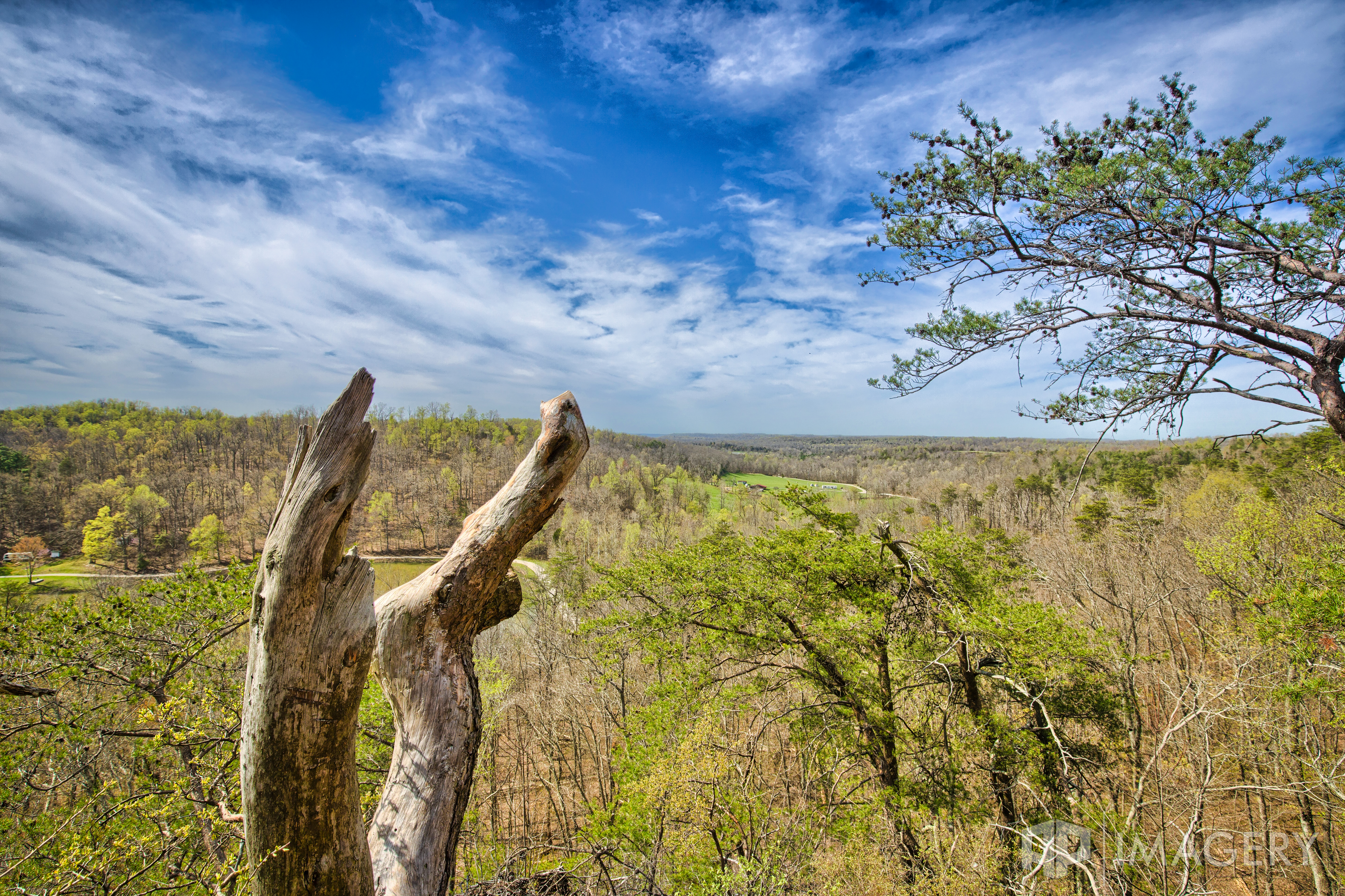
Pine Knob - The View
Back Porch View
Kentucky 2012
Rough River is rippling today
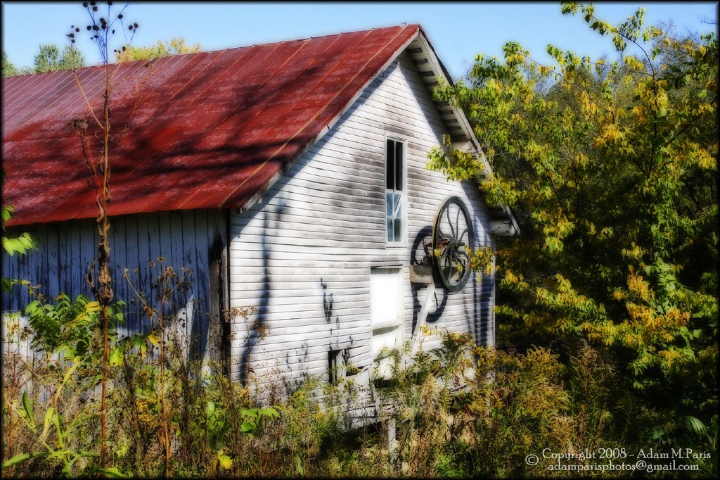
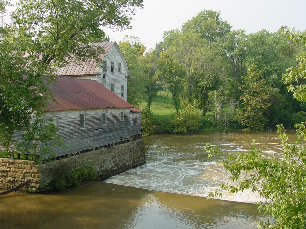
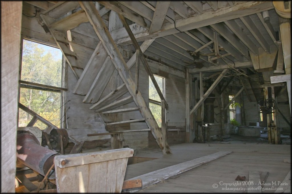
Greens Farm Mill
Kentucky 2012
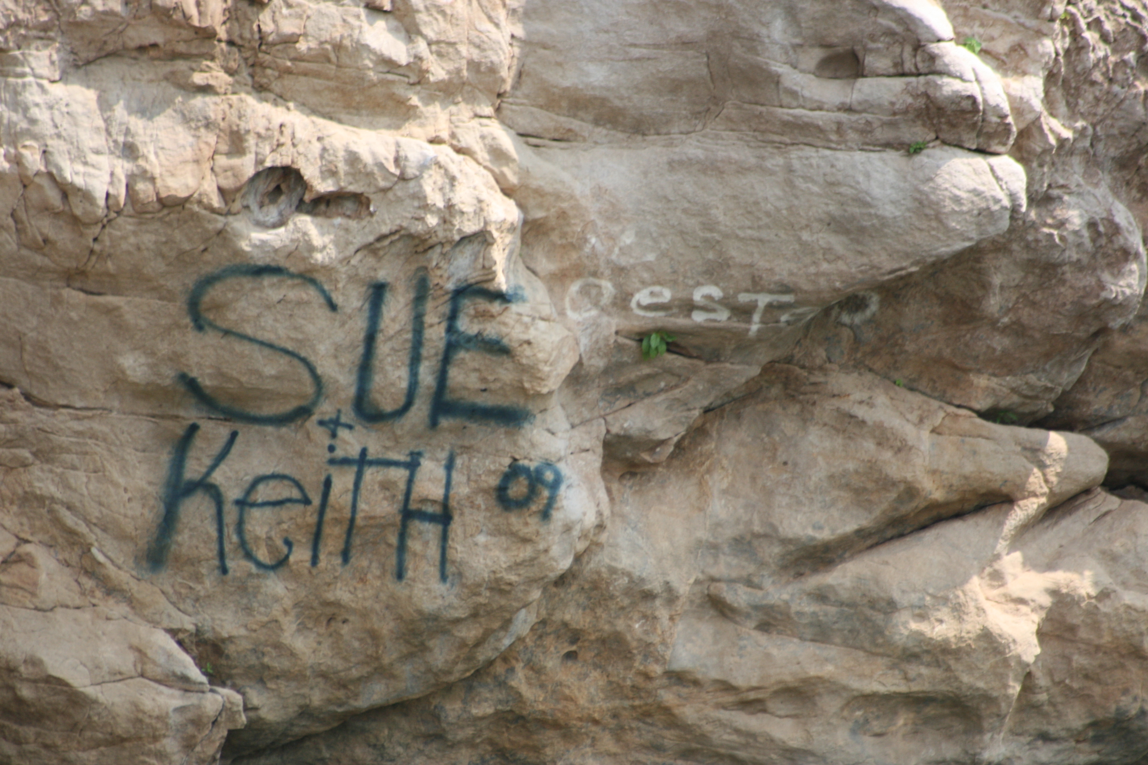
Sue Keith
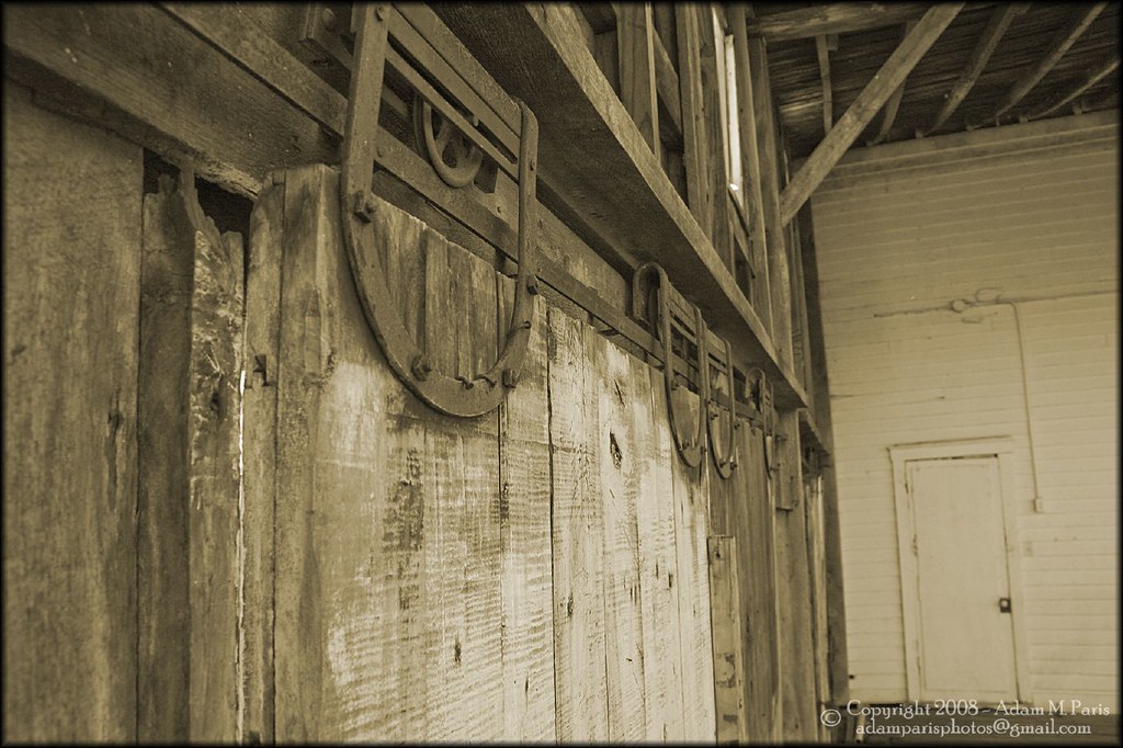
old sliding doors
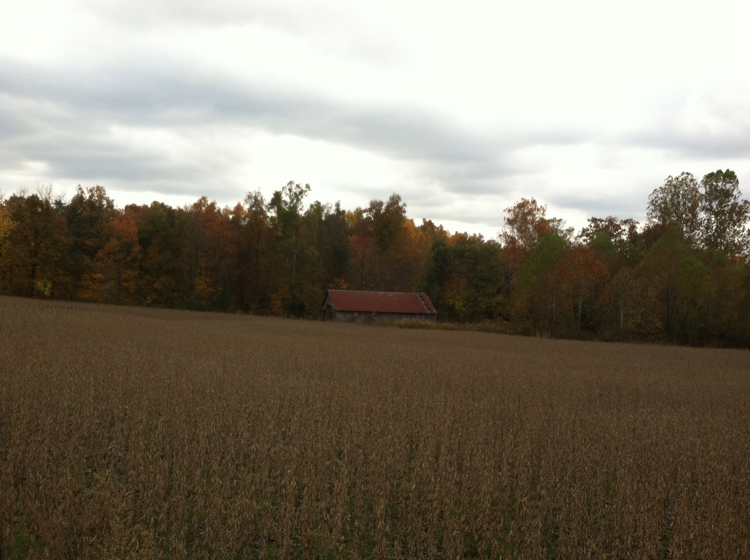
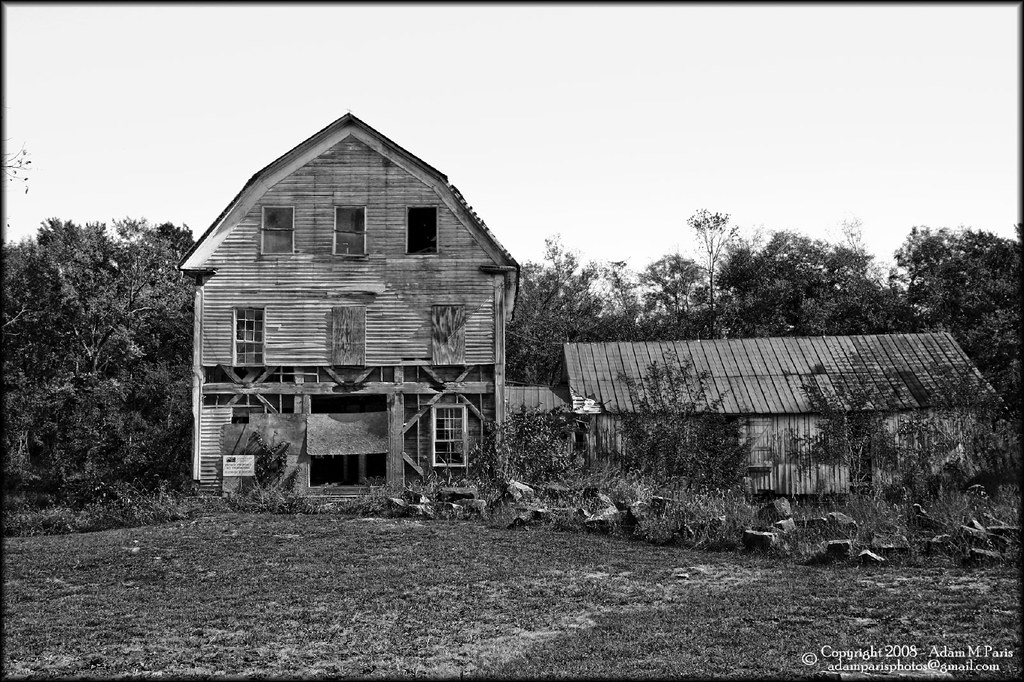
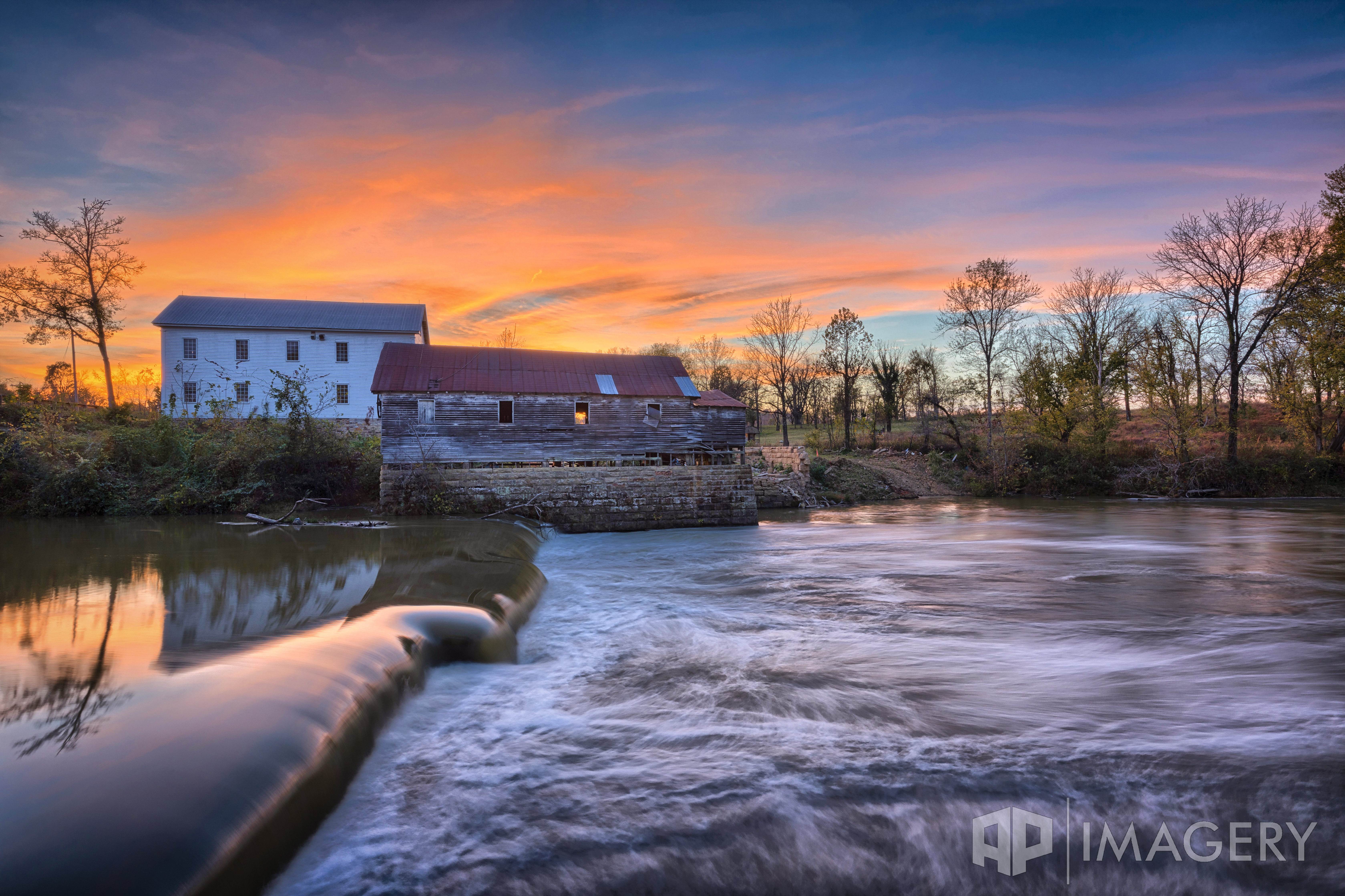
Green Brothers Mill at the Fall of Rough
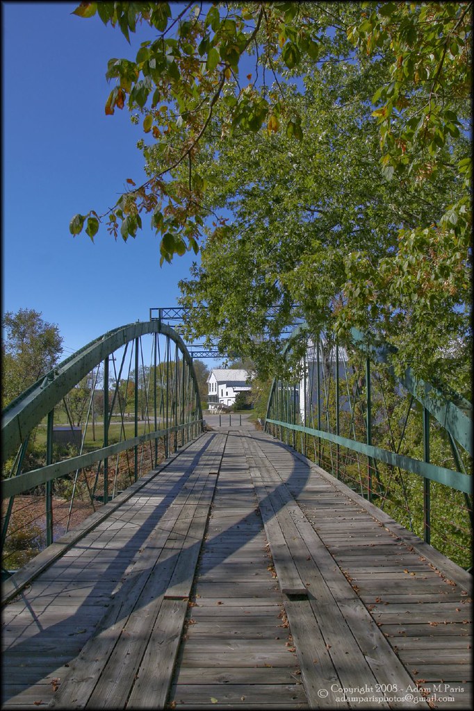
Greens Farm Mill bridge
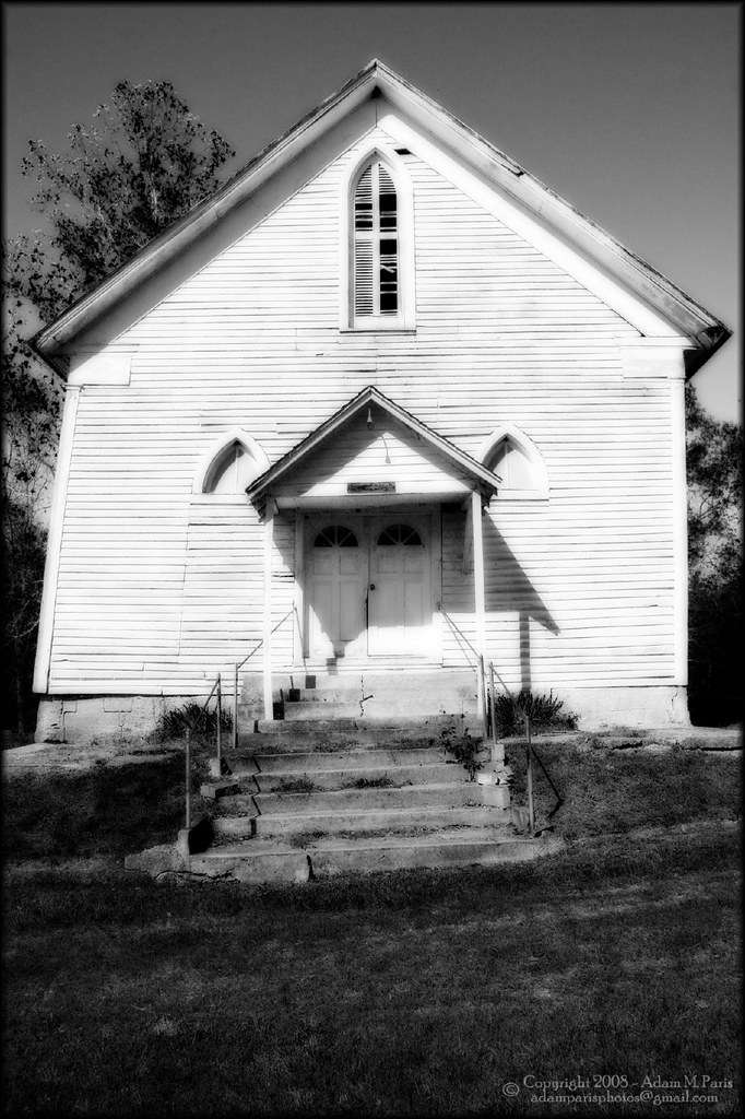
leaning church
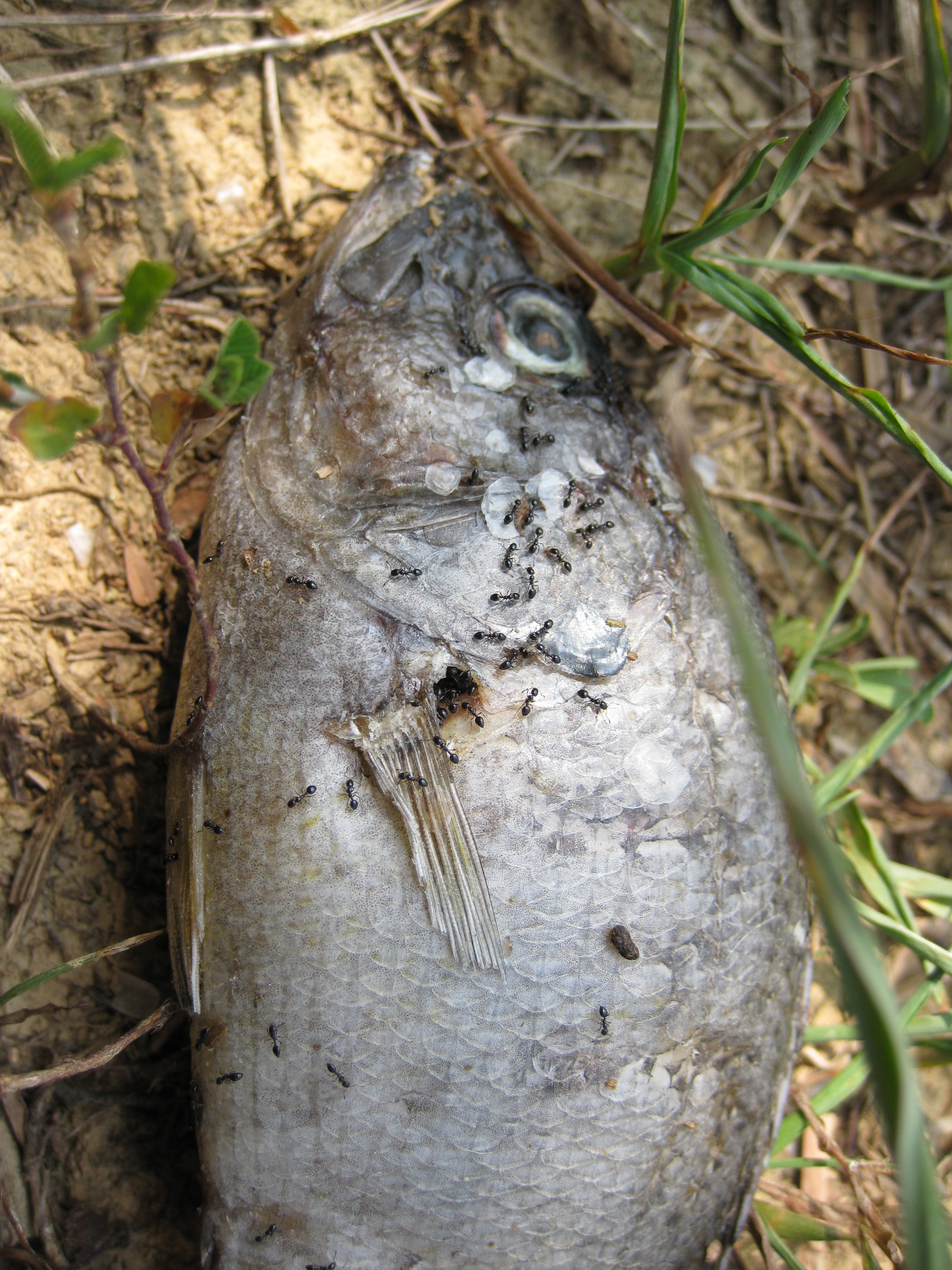
Ants all over dead fish
stairway to heaven?
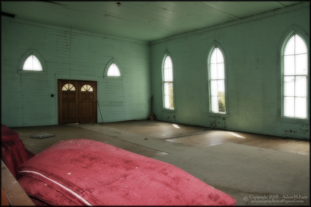
inside the "leaning church"
Greens Farm Mill
Falls of Rough Mill - Oct 2016
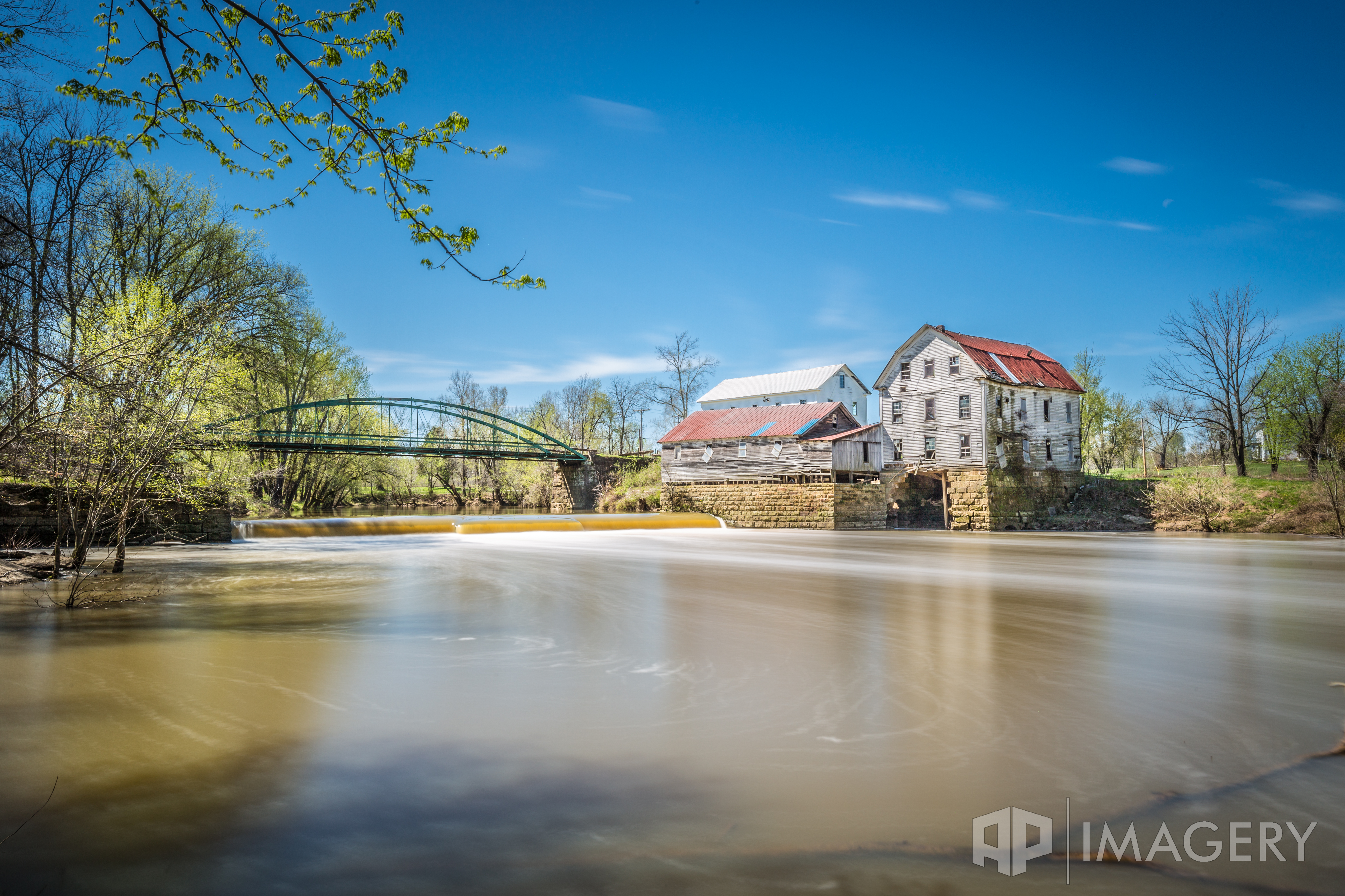
Falls of Rough - Mill and Bridge
Water and clouds I
Water and clouds II

Big Rock 001
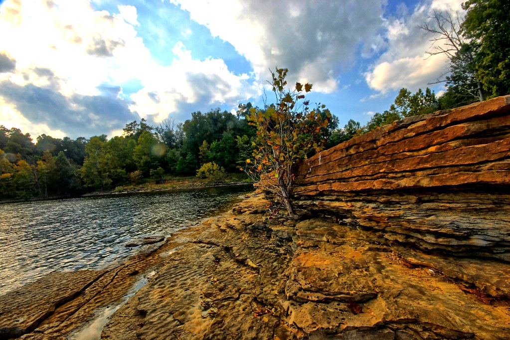
Rocks of the ages

Fading light
Topographic Map of Circle Hill Rd, Vanzant, KY, USA
Find elevation by address:

Places near Circle Hill Rd, Vanzant, KY, USA:
588 Circle Hill Rd
480 Circle Hill Rd
129 Cedar Cove Rd
Paulette Way
Falls Of Rough
Carwile Rd, Leitchfield, KY, USA
KY-, Falls of Rough, KY, USA
3799 Ky-110
South Ln, Leitchfield, KY, USA
2442 Lewis School Rd
2040 Hickory Grove Rd
Ed Wells Road
1799 Walnut Grove Rd
114 Breckwood Dr
Hardinsburg
Oak St, Hardinsburg, KY, USA
Grayson County
Breckinridge County
Olaton
KY-54, Fordsville, KY, USA
Recent Searches:
- Elevation of Corso Fratelli Cairoli, 35, Macerata MC, Italy
- Elevation of Tallevast Rd, Sarasota, FL, USA
- Elevation of 4th St E, Sonoma, CA, USA
- Elevation of Black Hollow Rd, Pennsdale, PA, USA
- Elevation of Oakland Ave, Williamsport, PA, USA
- Elevation of Pedrógão Grande, Portugal
- Elevation of Klee Dr, Martinsburg, WV, USA
- Elevation of Via Roma, Pieranica CR, Italy
- Elevation of Tavkvetili Mountain, Georgia
- Elevation of Hartfords Bluff Cir, Mt Pleasant, SC, USA