Elevation of Lewis River Rd, Ariel, WA, USA
Location: United States > Washington > Cowlitz County > Ariel >
Longitude: -122.36748
Latitude: 45.9975192
Elevation: 150m / 492feet
Barometric Pressure: 100KPa
Elevation Map:
Satellite Map:
Related Photos:
Marshmallow Mint
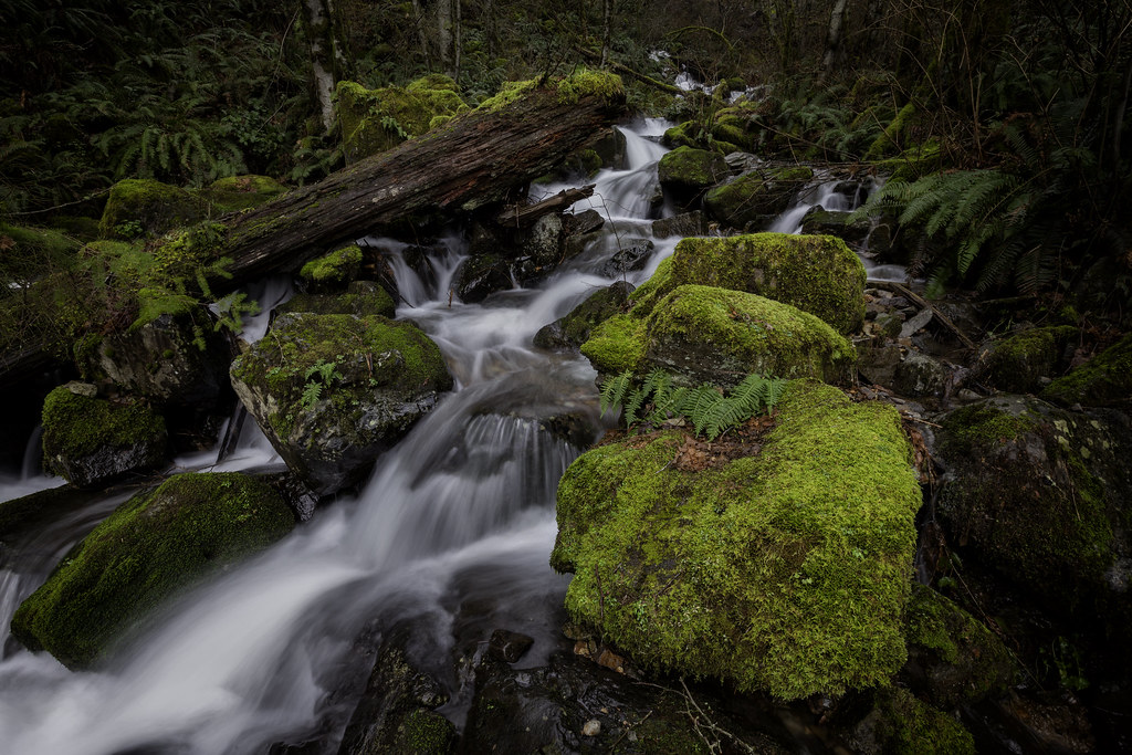
Marble Creek

7677 Tolype distincta moth, Lake Merwin, Washington
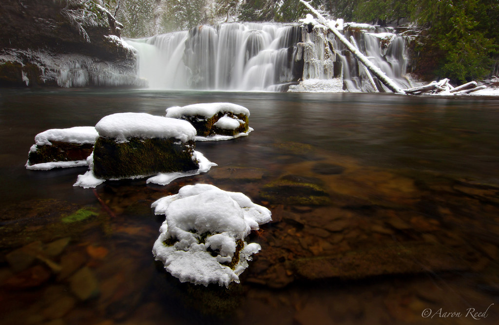
waterfall, Lake Merwin Campers Hideaway.
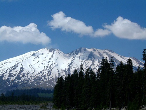
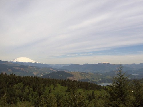
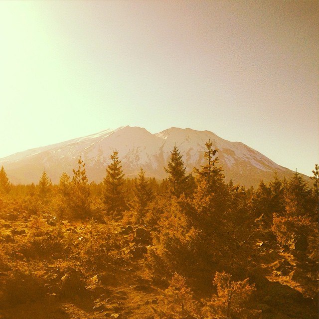
Mount Saint Helens
I can see clearly now…
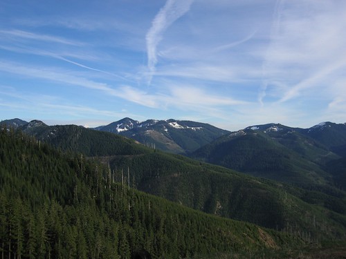
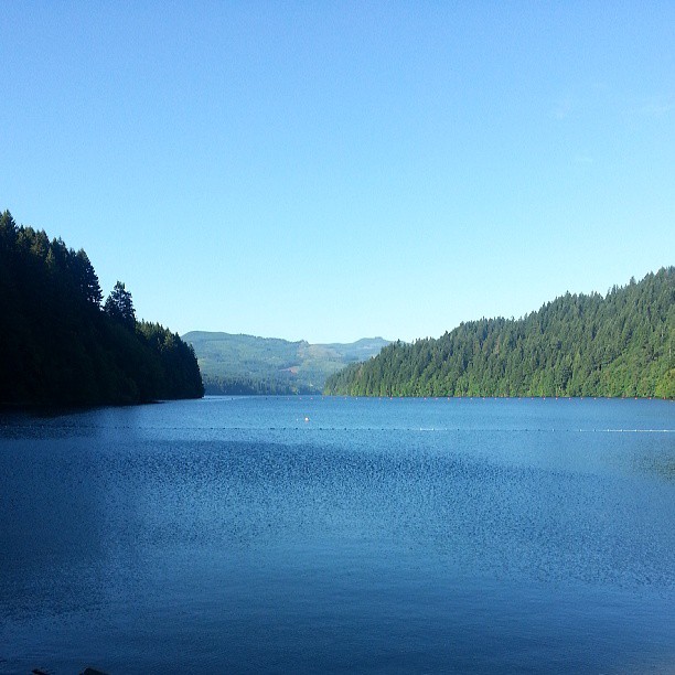
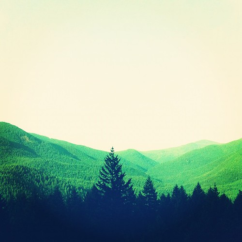
Blue Skies, Green Hills
Mt. St. Helens and Company
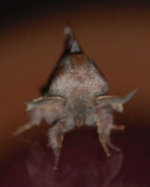
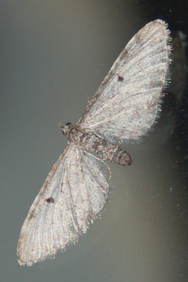
American Lappet Moth
Crucialis Woodling Moth
Nice view #earthporn
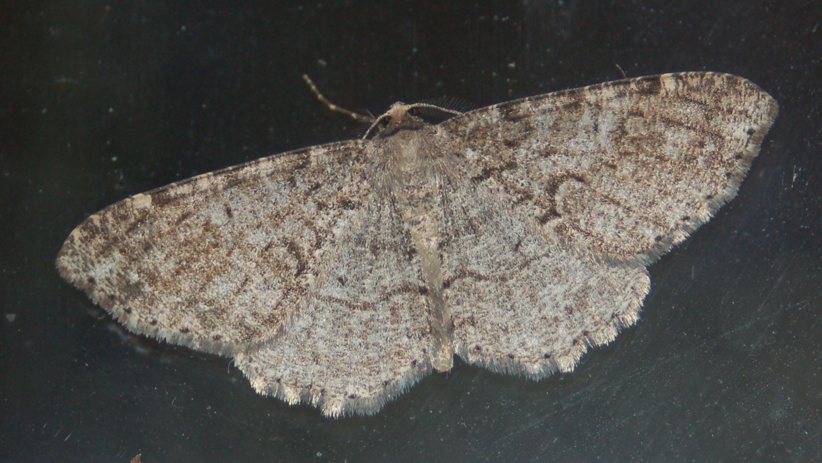
6618 Melanolophia imitata
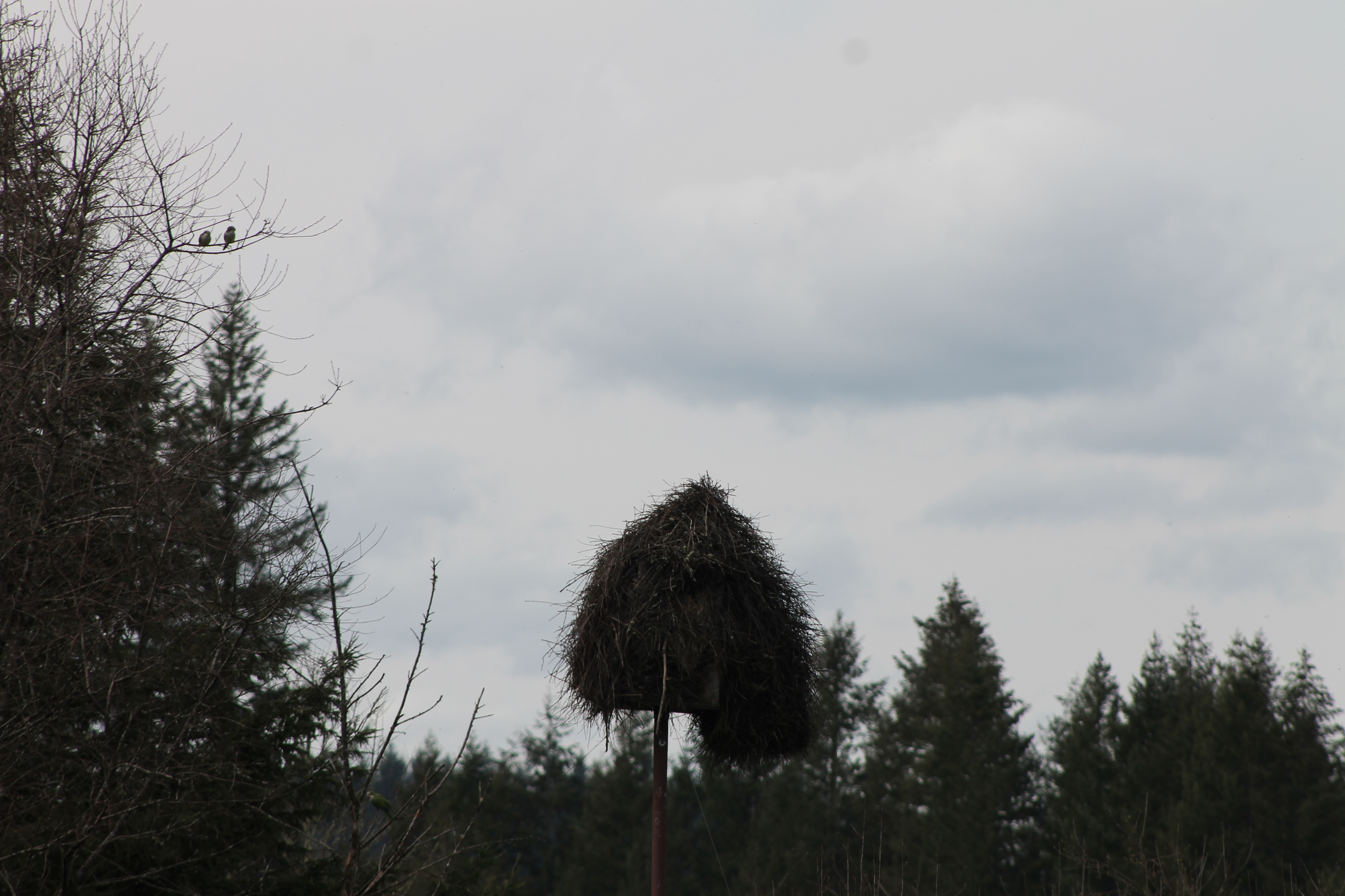
IMG_3464 Monk Parakeets and Nest Structure
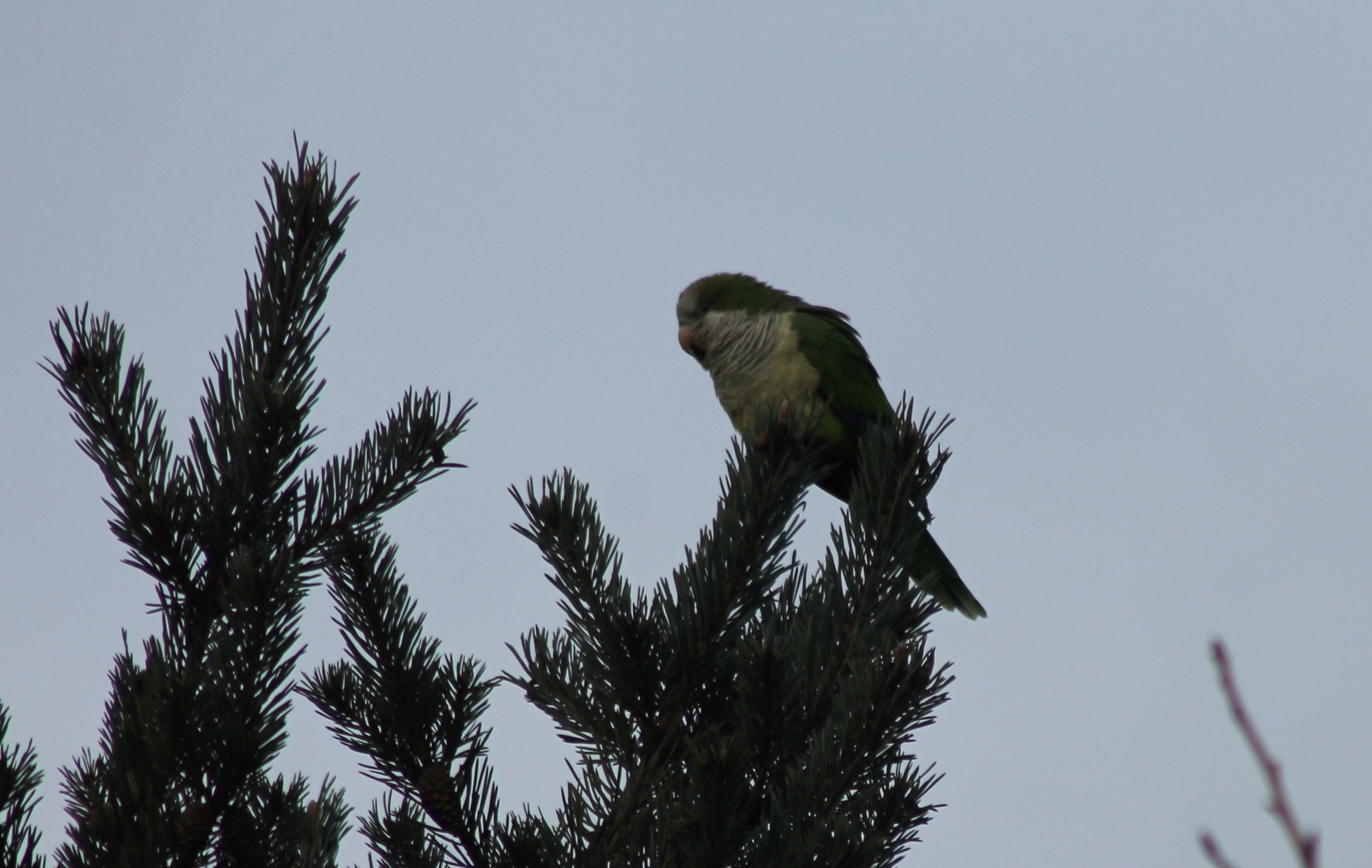
IMG_2614 Monk Parakeet - Myiopsitta monachus

IMG_2609 Monk Parakeet - Myiopsitta monachus

IMG_2607 Monk Parakeet - Myiopsitta monachus
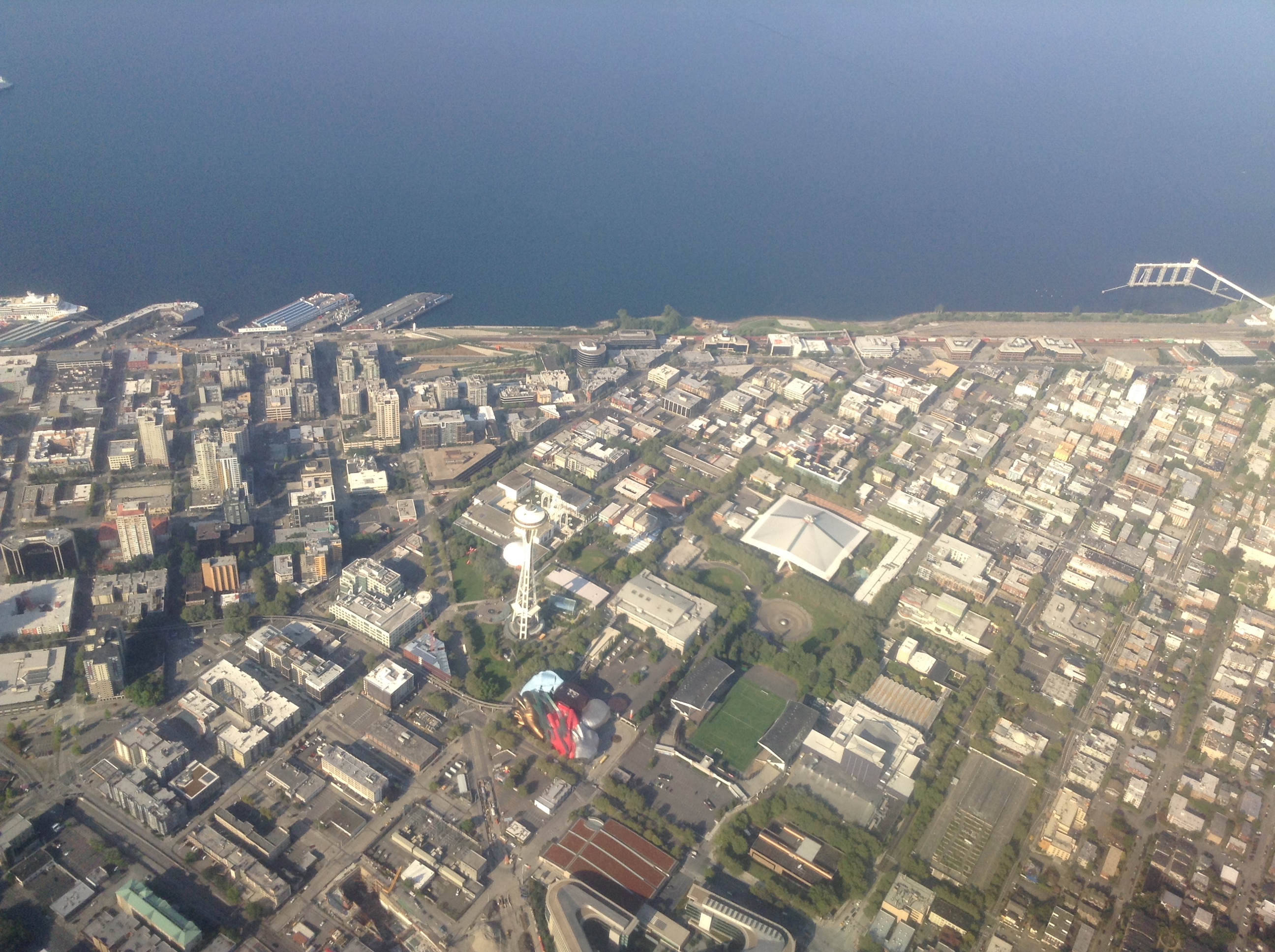
Flying over Seattle

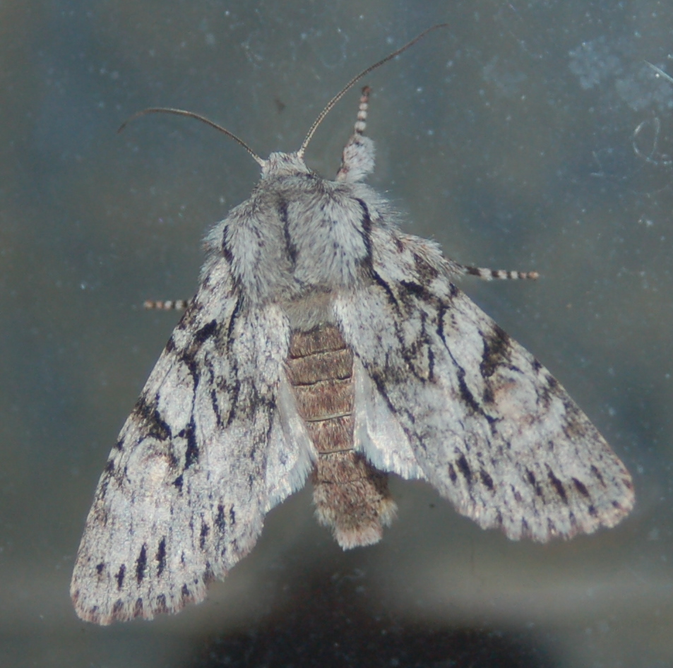
American Lappet Moth
DSC_0011-2

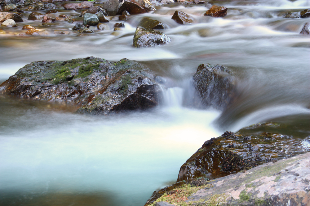
Marble Creek Cascades
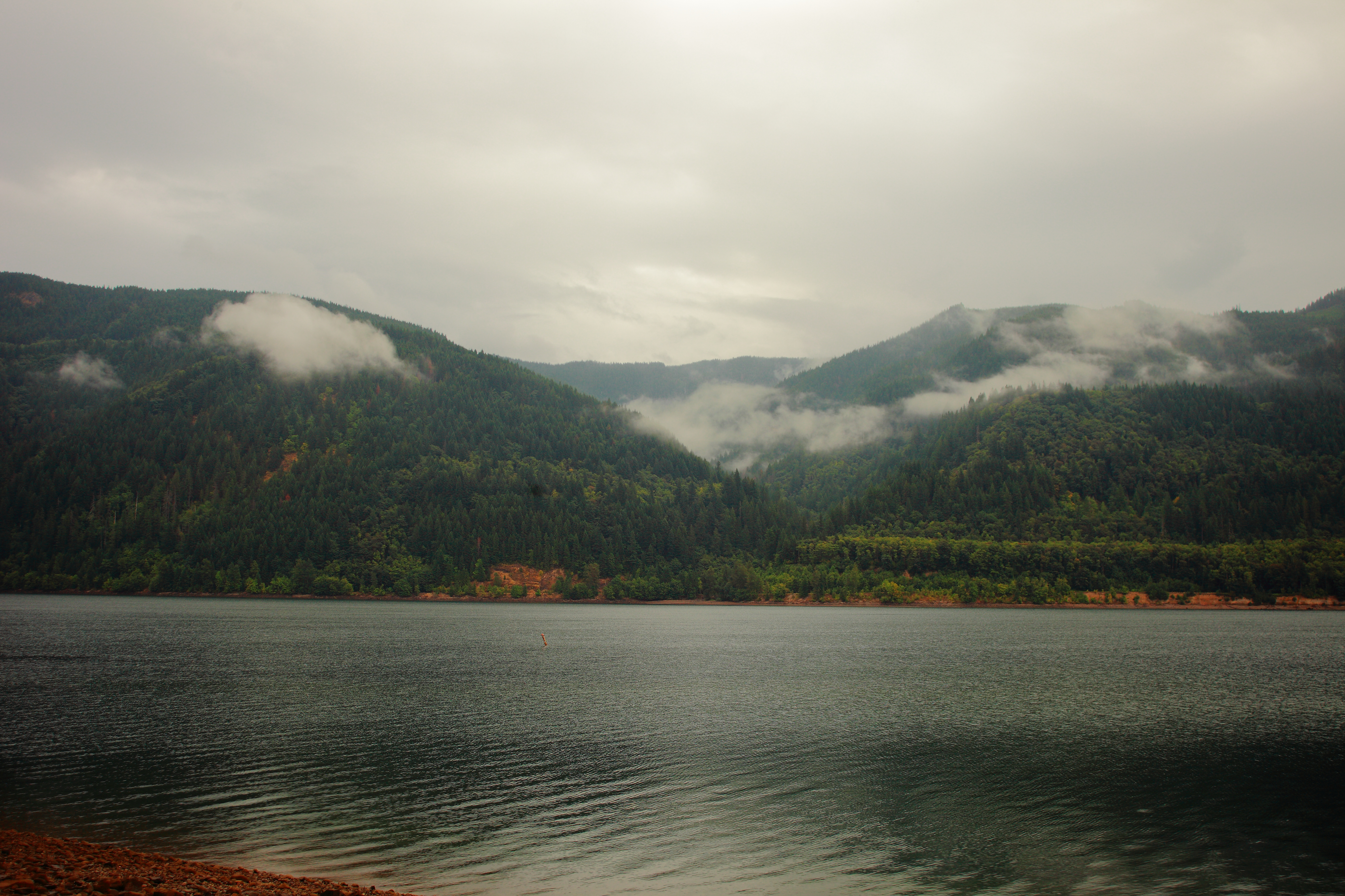
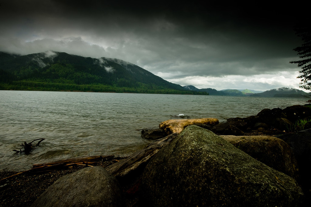
Yale lake
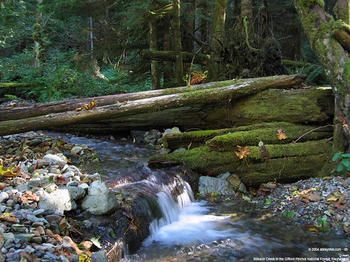
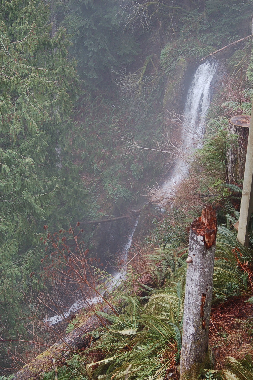
Siouxon Creek, Gifford Pinchot National Forest, Washington
The Storms May Come?
Mountain // Can't believe that thing back there blew open back in 1980. I wonder what it must have been like walking around and seeing volcanic ash everywhere. Interestingly enough, the land has been recovering quite well.

BIG TREE CREEK FALLS Collage
#green #stuff
Canyon Creek, Washington

Neil slides under the falls
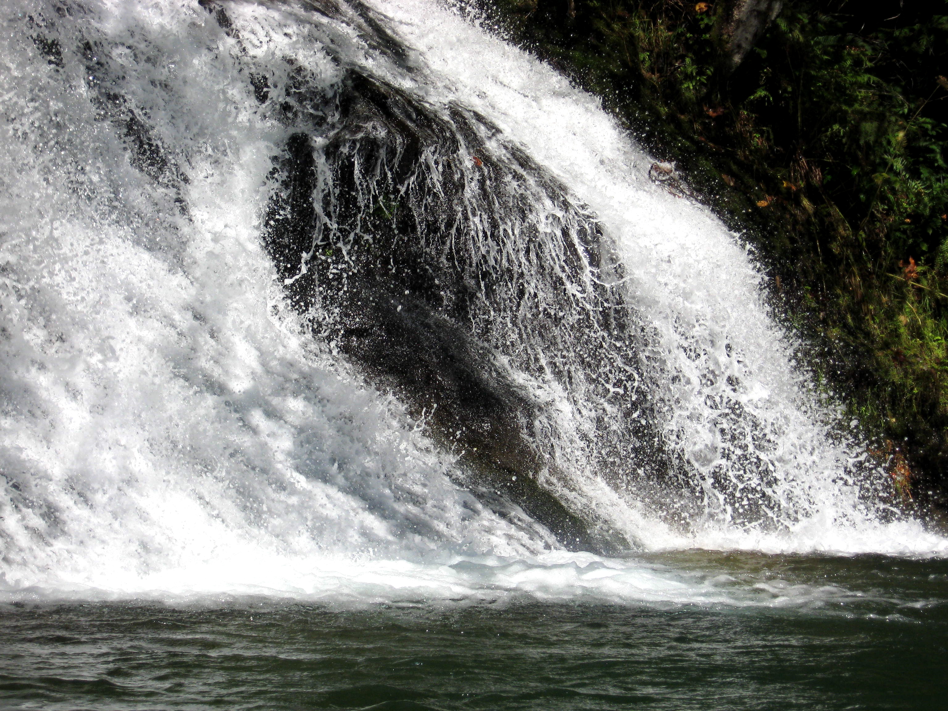
Waterfall north end of Lake Merwin

On the way to Ape Cave

Waterfall at the north end of Lake Merwin

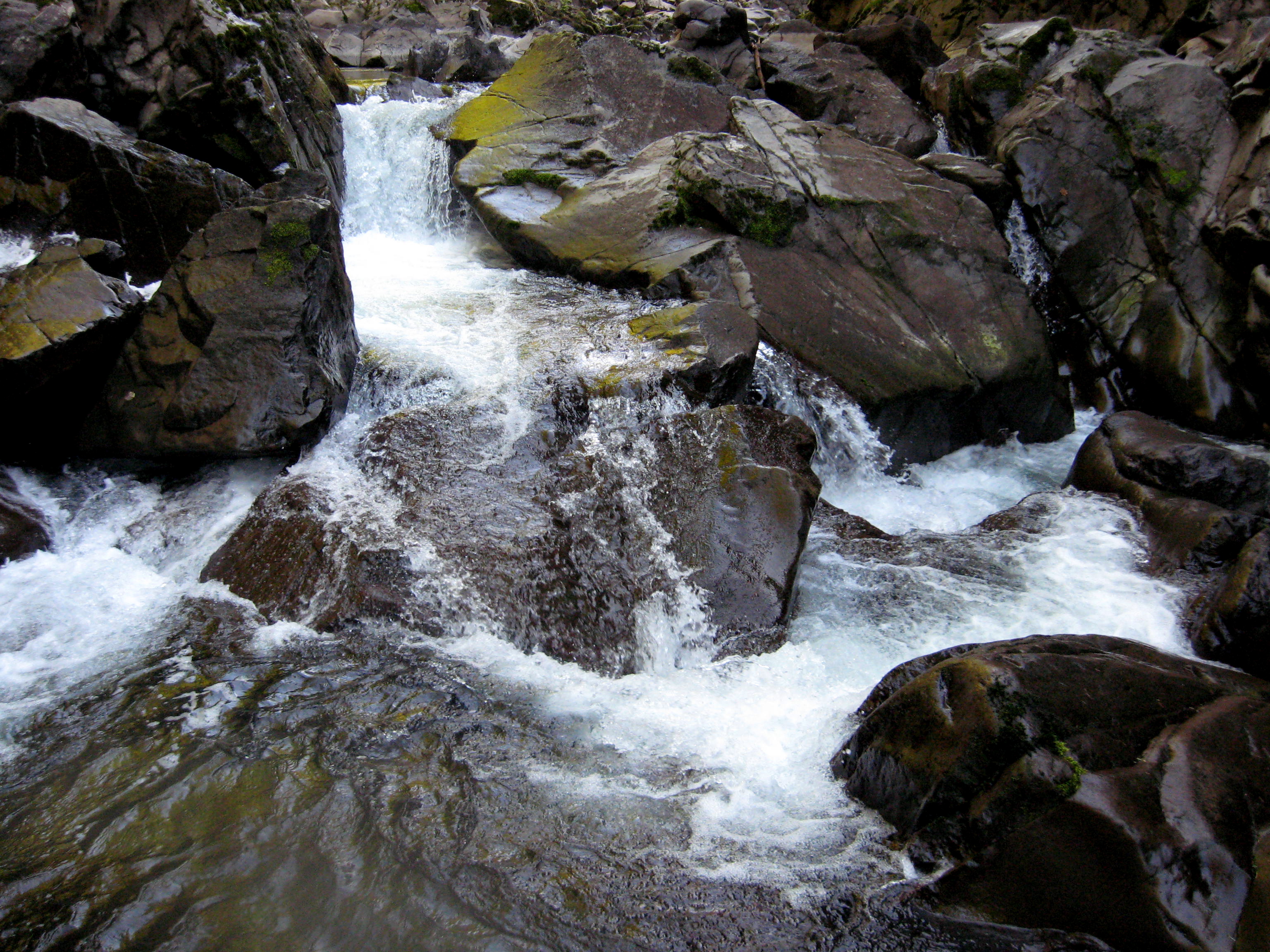
Canyon Creek
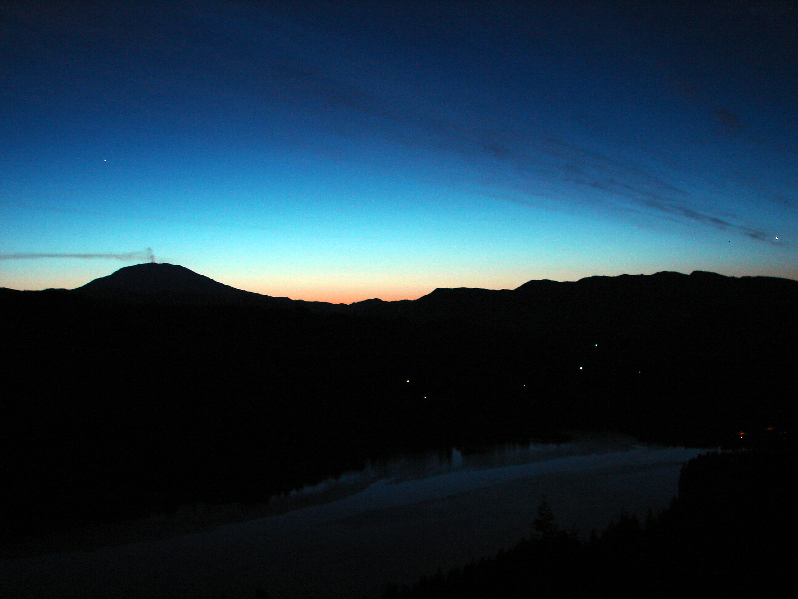
Sunrise over St. Helens
Canyon Creek enters Lake Merwin
Lava mini-scrambles, Lava Canyon, Mt. St. Helens.

lone pine cemetery - woodland park, wa

Lake Merwin and Mt St Helens, Just east of Woodland,WA
Topographic Map of Lewis River Rd, Ariel, WA, USA
Find elevation by address:

Places near Lewis River Rd, Ariel, WA, USA:
281 Bald Eagle Rd
150 Shetler Rd
150 Irene Ln
275 Mohawk Ln
332 Mohawk Ln
307 Saddle Rd
300 Thurman Rd
26415 Ne Fern Dr
Rock Creek Road
Lake Merwin Camper's Hideaway
24706 Ne Columbia Tie Rd
42100 Ne 260th Pl
Northeast 261st Court
43901 Ne Columbia Tie Rd
23914 Ne 419th St
Lake Merwin
Northeast Elliott Road
41806 Ne Columbia Tie Rd
21714 Ne Cedar Creek Rd
Amboy Middle School
Recent Searches:
- Elevation of Corso Fratelli Cairoli, 35, Macerata MC, Italy
- Elevation of Tallevast Rd, Sarasota, FL, USA
- Elevation of 4th St E, Sonoma, CA, USA
- Elevation of Black Hollow Rd, Pennsdale, PA, USA
- Elevation of Oakland Ave, Williamsport, PA, USA
- Elevation of Pedrógão Grande, Portugal
- Elevation of Klee Dr, Martinsburg, WV, USA
- Elevation of Via Roma, Pieranica CR, Italy
- Elevation of Tavkvetili Mountain, Georgia
- Elevation of Hartfords Bluff Cir, Mt Pleasant, SC, USA