Elevation of Lewis County, KY, USA
Location: United States > Kentucky >
Longitude: -83.378938
Latitude: 38.5079686
Elevation: 300m / 984feet
Barometric Pressure: 98KPa
Elevation Map:
Satellite Map:
Related Photos:
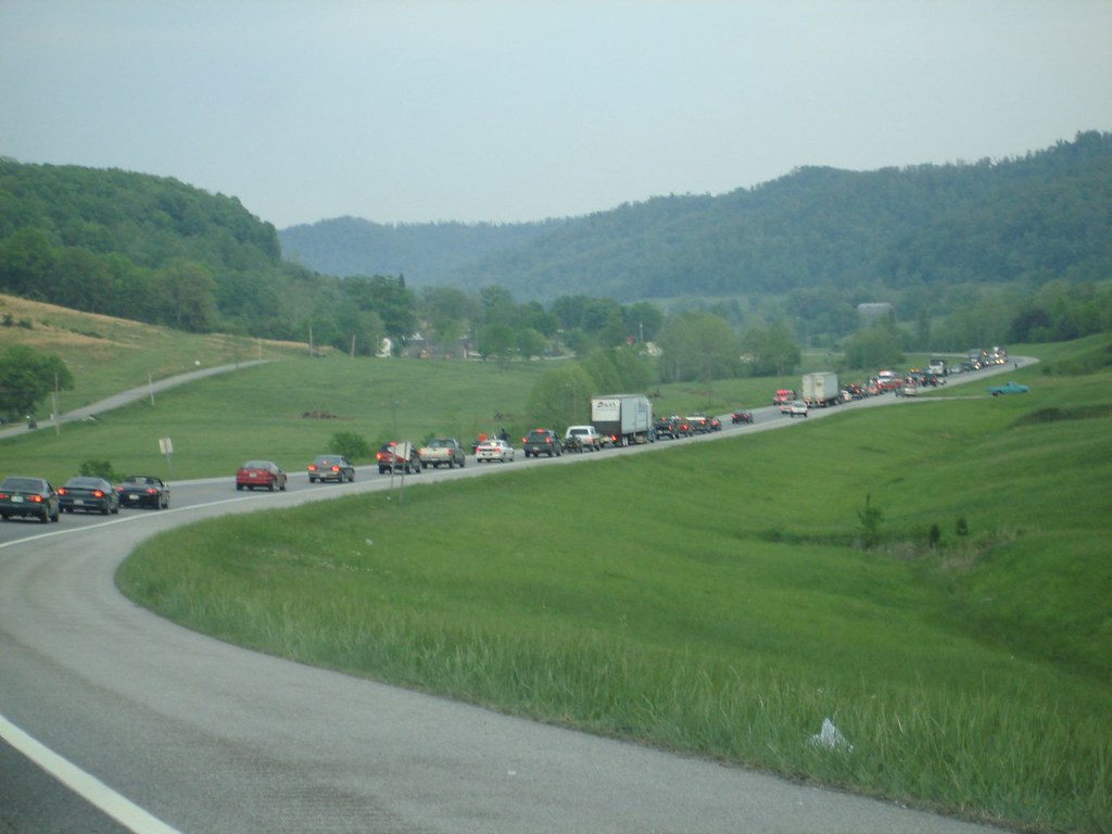
AA Crash 4
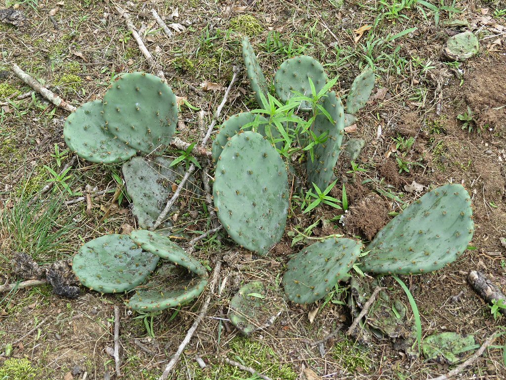
Eastern Prickly Pear - Opuntia humifusa - Adams County, Ohio, USA - July 3, 2015

Byrd with the break-away @khsaa #gcfootball #football

Ethan with the blocked pass @khsaa #gcfootball #football

Jared with some protection @khsaa #gcfootball #football

Rusty with some hands @khsaa #gcfootball #football

TJ with the block @khsaa #gcfootball #football

Jake "The Snake" with the stiff arm @khsaa #gcfootball #football

Tiffany and her Flathead catfish
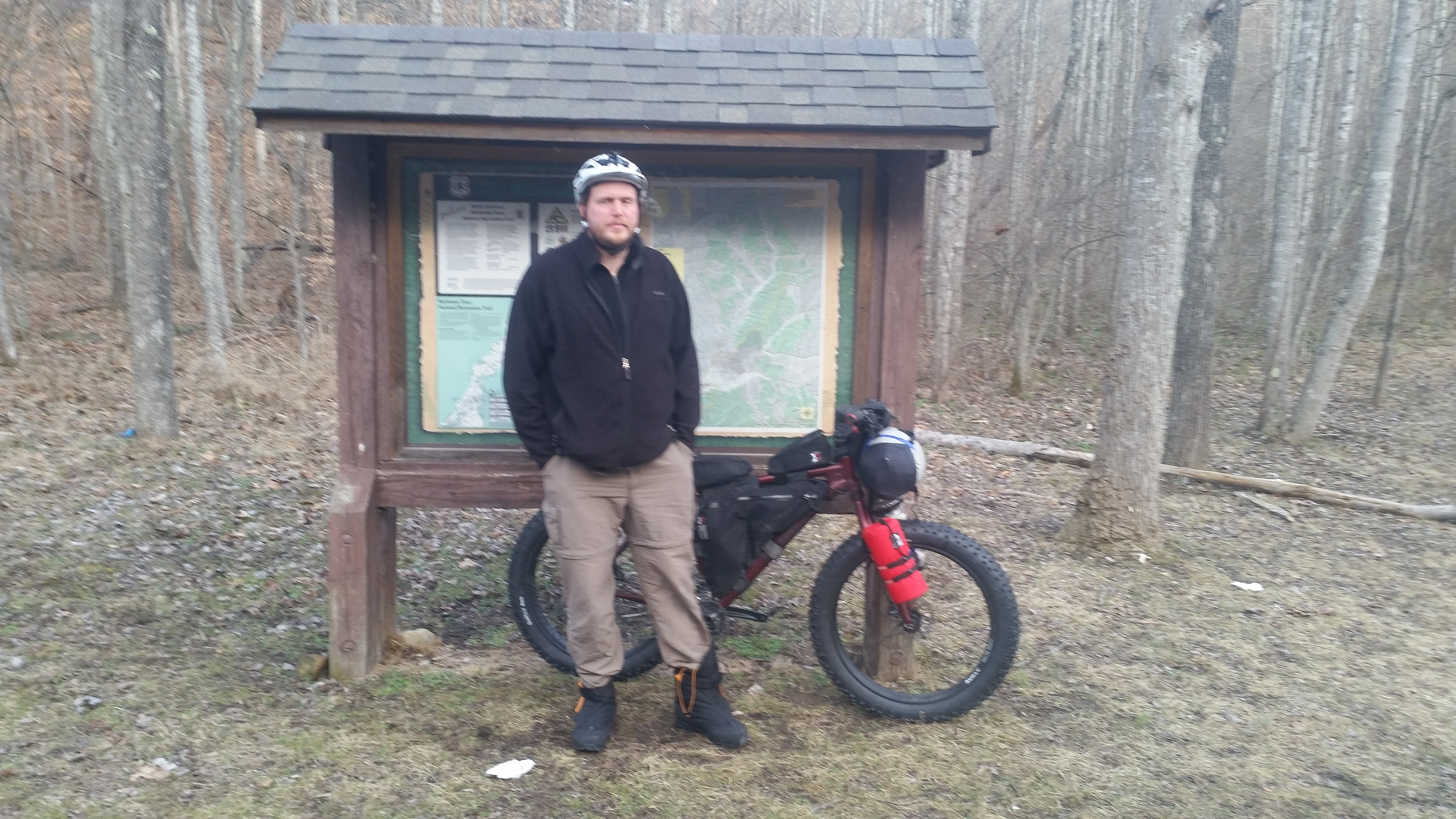
Northern Terminus of the Sheltowee Trace Trail

Thanks to Steve of the Sheltowee Trace Trail Association for giving me a lift to the trailhead!
Topographic Map of Lewis County, KY, USA
Find elevation by address:

Places in Lewis County, KY, USA:
Places near Lewis County, KY, USA:
Clarksburg Rd, Vanceburg, KY, USA
KY-, Vanceburg, KY, USA
Vanceburg
Front Street
KY-, Vanceburg, KY, USA
27719 Us-52
KY-, Tollesboro, KY, USA
249 Tucker St
1767 Beechy Creek Rd
Blue Creek Rd, Stout, OH, USA
2319 Beechy Creek Rd
Green Township
Dry Branch Rd, Morehead, KY, USA
1260 Dry Branch Rd
1370 Dry Branch Rd
61 Upper Twin Creek-Rocky Fork Rd, Stout, OH, USA
KY-57, Vanceburg, KY, USA
Tollesboro
Mcglone Creek Road
KY-8, Concord, KY, USA
Recent Searches:
- Elevation of Corso Fratelli Cairoli, 35, Macerata MC, Italy
- Elevation of Tallevast Rd, Sarasota, FL, USA
- Elevation of 4th St E, Sonoma, CA, USA
- Elevation of Black Hollow Rd, Pennsdale, PA, USA
- Elevation of Oakland Ave, Williamsport, PA, USA
- Elevation of Pedrógão Grande, Portugal
- Elevation of Klee Dr, Martinsburg, WV, USA
- Elevation of Via Roma, Pieranica CR, Italy
- Elevation of Tavkvetili Mountain, Georgia
- Elevation of Hartfords Bluff Cir, Mt Pleasant, SC, USA