Elevation of Lester, AL, USA
Location: United States > Alabama > Limestone County >
Longitude: -87.1533469
Latitude: 34.9906391
Elevation: 249m / 817feet
Barometric Pressure: 0KPa
Related Photos:
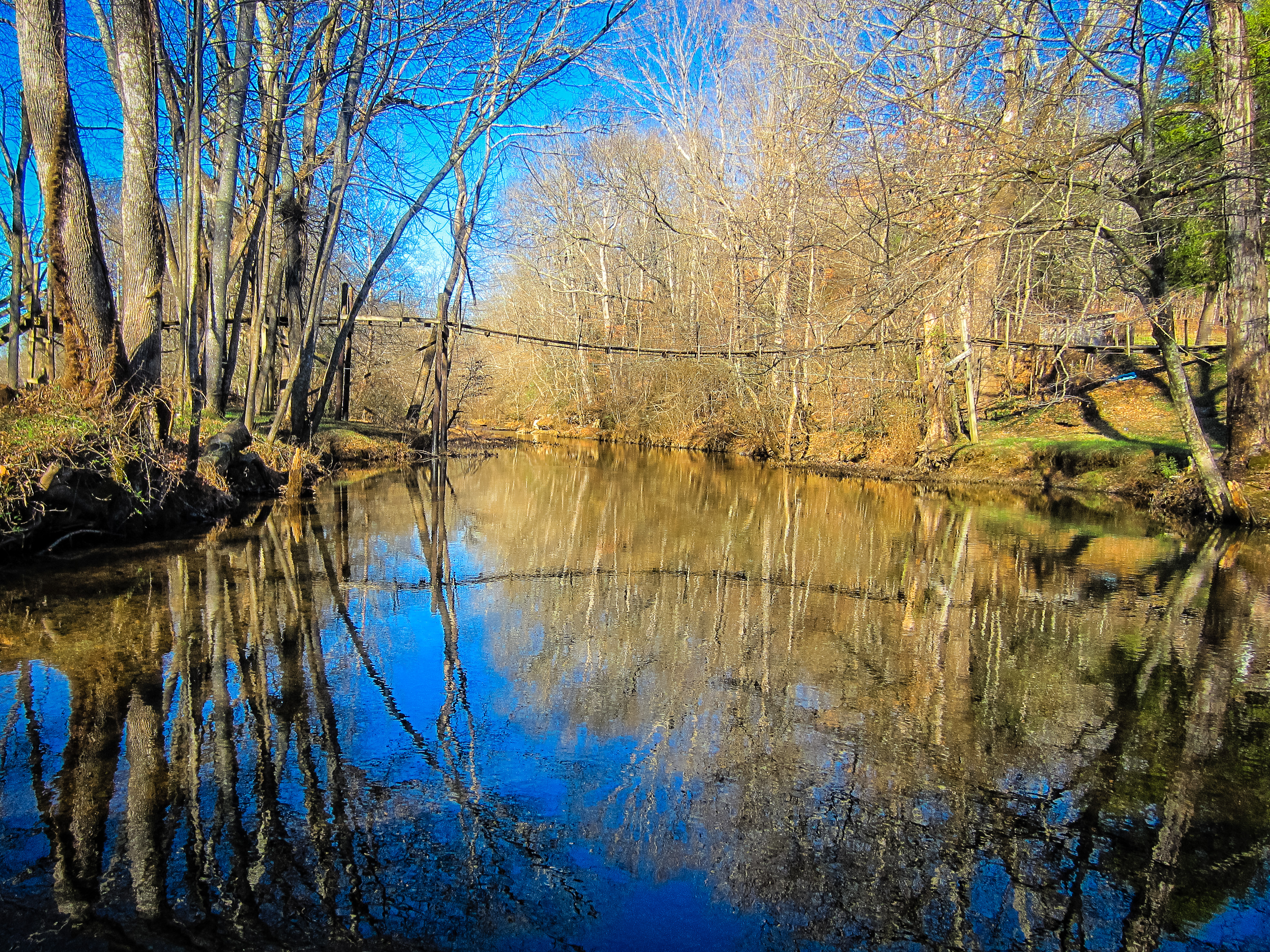
Swinging Bridge over East Fork Sugar Creek
Minor Hill, TN
Minor Hill, TN
Minor Hill, Tennessee

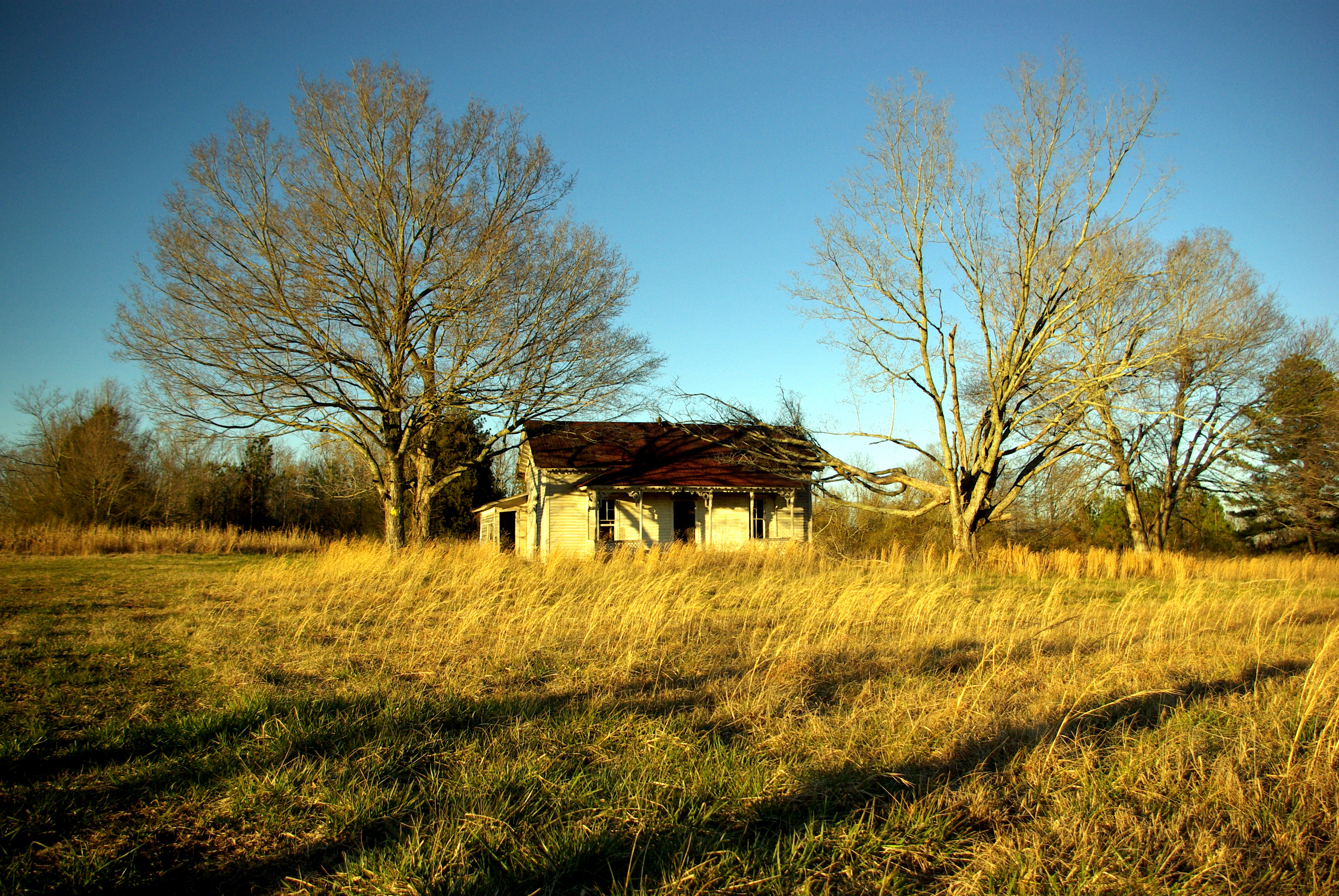
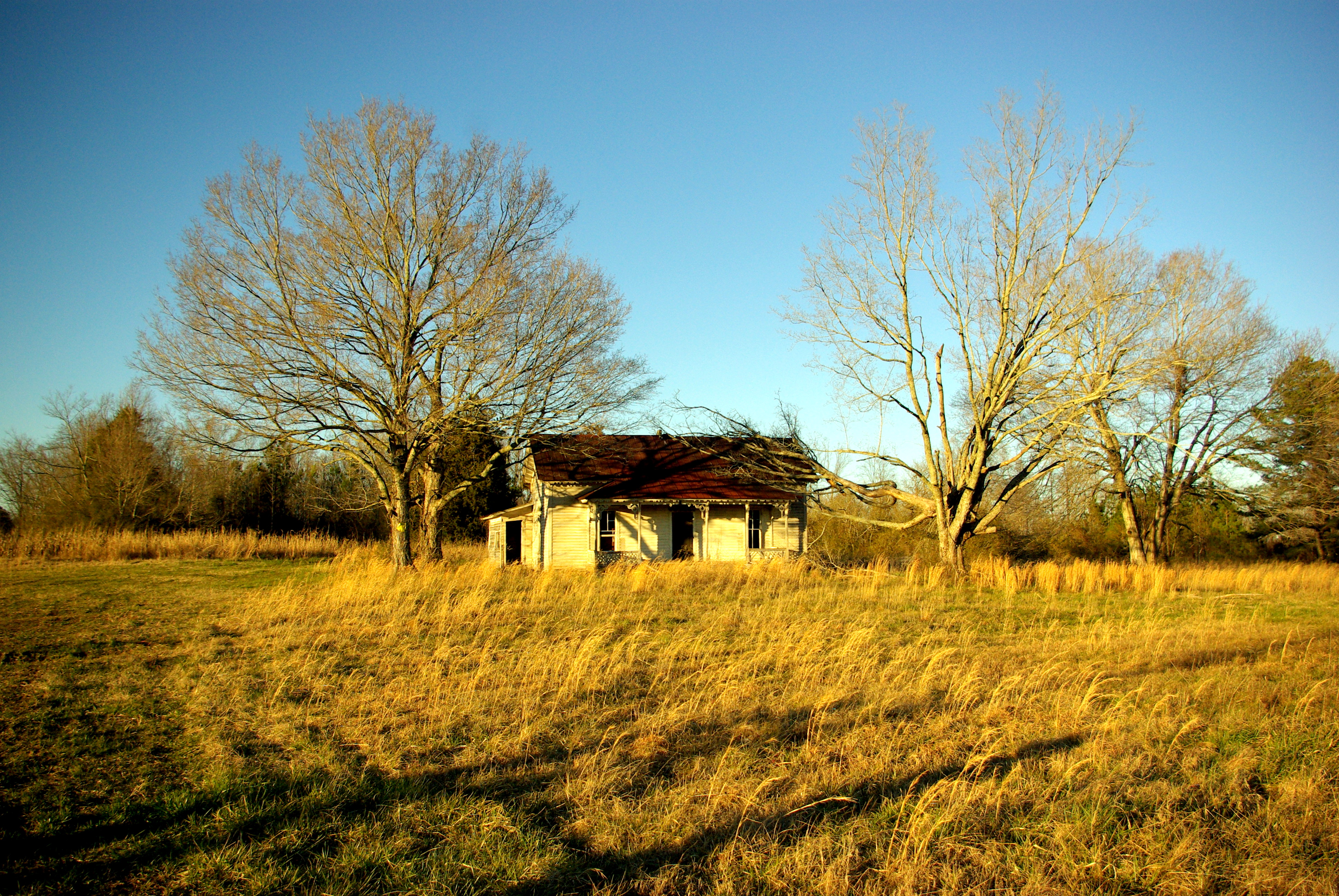
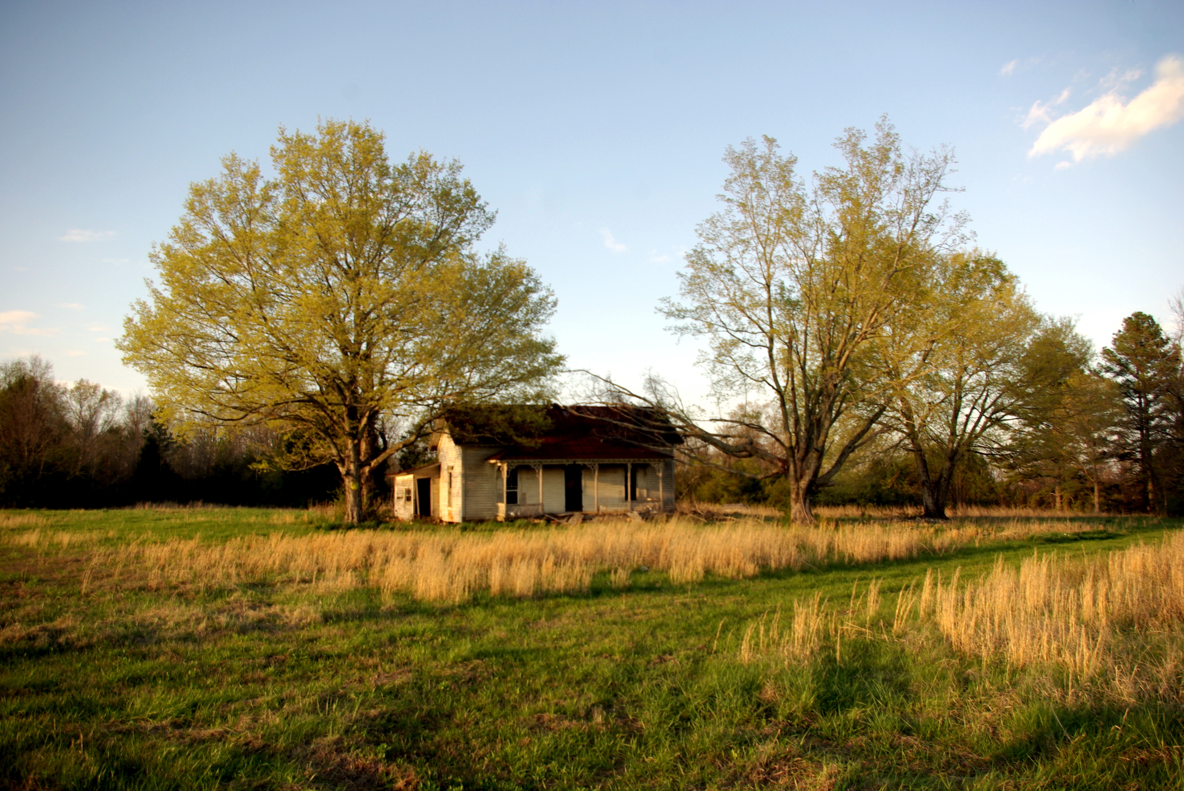
ABANDONED PLANTATION HOUSE ON CABBAGE RIDGE IN ELKMONT ALABAMA

Sunset in Alabama the Beautiful.

Traveling 207/99 thru Good Springs

Traveling 207/99 thru Good Springs

Traveling 207/99 thru Good Springs

Traveling 207/99 thru Good Springs

Traveling 207/99 thru Good Springs

Horses grazing

Anderson Al

Lexington, Al
Topographic Map of Lester, AL, USA
Find elevation by address:

Places in Lester, AL, USA:
Places near Lester, AL, USA:
Lester Rd, Lester, AL, USA
4241 Salem Rd
607 Hulsey Branch Rd
37681 Co Rd 11
37681 Co Rd 11
Minor Hill
25885 Hunter Gates Rd
Leggtown Rd, Elkmont, AL, USA
12659 Rainbow Way
Pope Rd, Elkmont, AL, USA
Goodspring, TN, USA
AL-99, Elkmont, AL, USA
Upper Snake Rd, Athens, AL, USA
17791 Rocky Hollow Way
Prospect
Broke Rd, Athens, AL, USA
8320 Bethel Rd
Goodspring
Dogwood Ln, Athens, AL, USA
640 Liberty Cir
Recent Searches:
- Elevation of 10370, West 107th Circle, Westminster, Jefferson County, Colorado, 80021, USA
- Elevation of 611, Roman Road, Old Ford, Bow, London, England, E3 2RW, United Kingdom
- Elevation of 116, Beartown Road, Underhill, Chittenden County, Vermont, 05489, USA
- Elevation of Window Rock, Colfax County, New Mexico, 87714, USA
- Elevation of 4807, Rosecroft Street, Kempsville Gardens, Virginia Beach, Virginia, 23464, USA
- Elevation map of Matawinie, Quebec, Canada
- Elevation of Sainte-Émélie-de-l'Énergie, Matawinie, Quebec, Canada
- Elevation of Rue du Pont, Sainte-Émélie-de-l'Énergie, Matawinie, Quebec, J0K2K0, Canada
- Elevation of 8, Rue de Bécancour, Blainville, Thérèse-De Blainville, Quebec, J7B1N2, Canada
- Elevation of Wilmot Court North, 163, University Avenue West, Northdale, Waterloo, Region of Waterloo, Ontario, N2L6B6, Canada
- Elevation map of Panamá Province, Panama
- Elevation of Balboa, Panamá Province, Panama
- Elevation of San Miguel, Balboa, Panamá Province, Panama
- Elevation of Isla Gibraleón, San Miguel, Balboa, Panamá Province, Panama
- Elevation of 4655, Krischke Road, Schulenburg, Fayette County, Texas, 78956, USA
- Elevation of Carnegie Avenue, Downtown Cleveland, Cleveland, Cuyahoga County, Ohio, 44115, USA
- Elevation of Walhonding, Coshocton County, Ohio, USA
- Elevation of Clifton Down, Clifton, Bristol, City of Bristol, England, BS8 3HU, United Kingdom
- Elevation map of Auvergne-Rhône-Alpes, France
- Elevation map of Upper Savoy, Auvergne-Rhône-Alpes, France