Elevation of Legend Trail, Scottsdale, AZ, USA
Location: United States > Arizona > Maricopa County > Scottsdale >
Longitude: -111.87176
Latitude: 33.798117
Elevation: 791m / 2595feet
Barometric Pressure: 92KPa
Elevation Map:
Satellite Map:
Related Photos:

Arizona Wedding Photography - Greyhawk Golf Portrait - Strobist Photographer
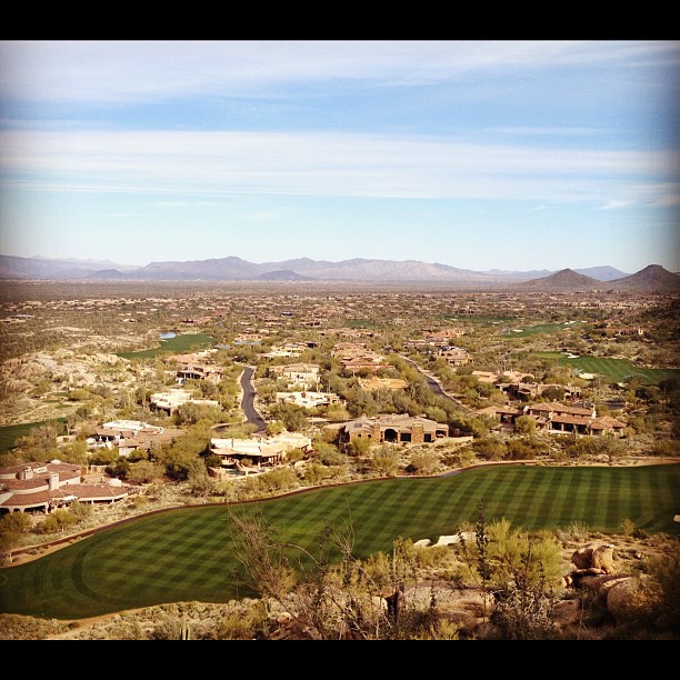
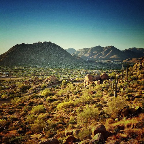
Another beautiful view from #pinnaclepeak hike this morning

All I Asked Was, "Which Way?"
Flight Path
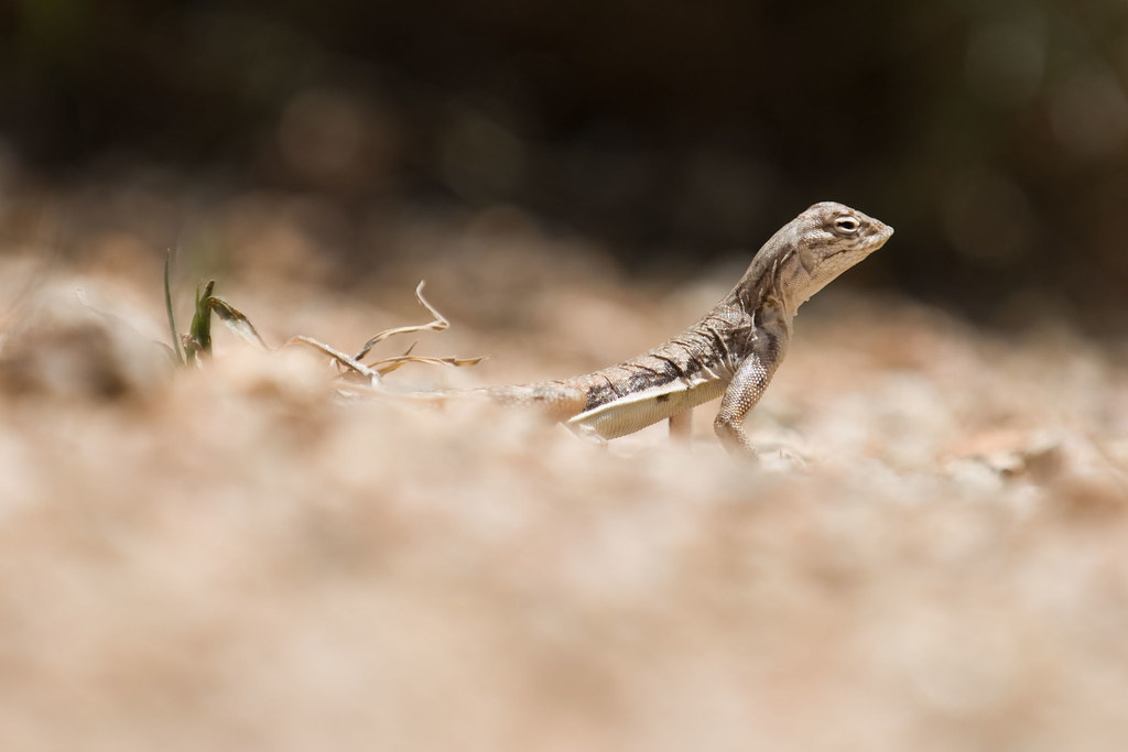
Zebra-tailed Lizard
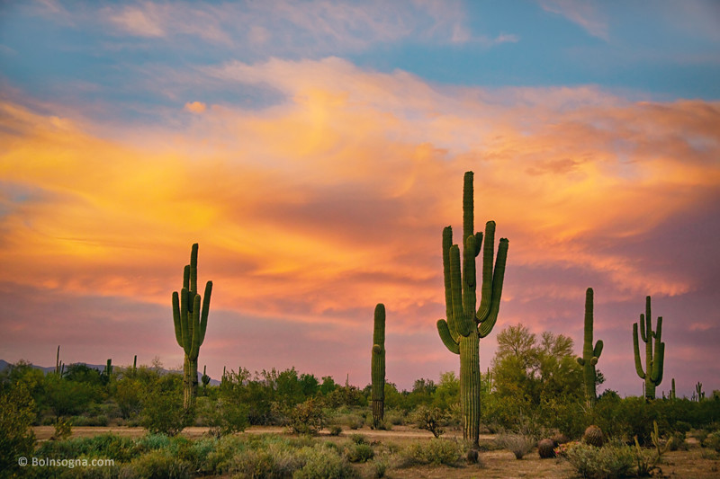
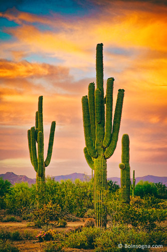
Saguaro Desert Life
Arizona Life
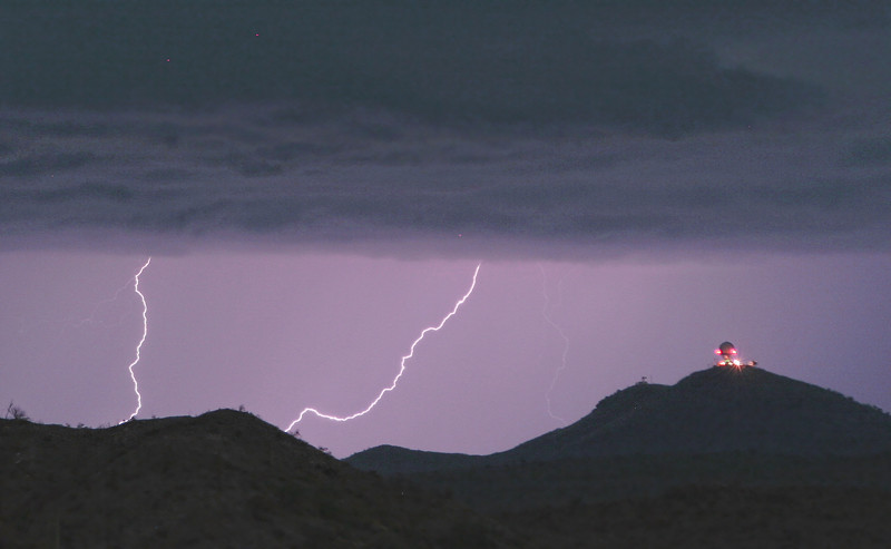
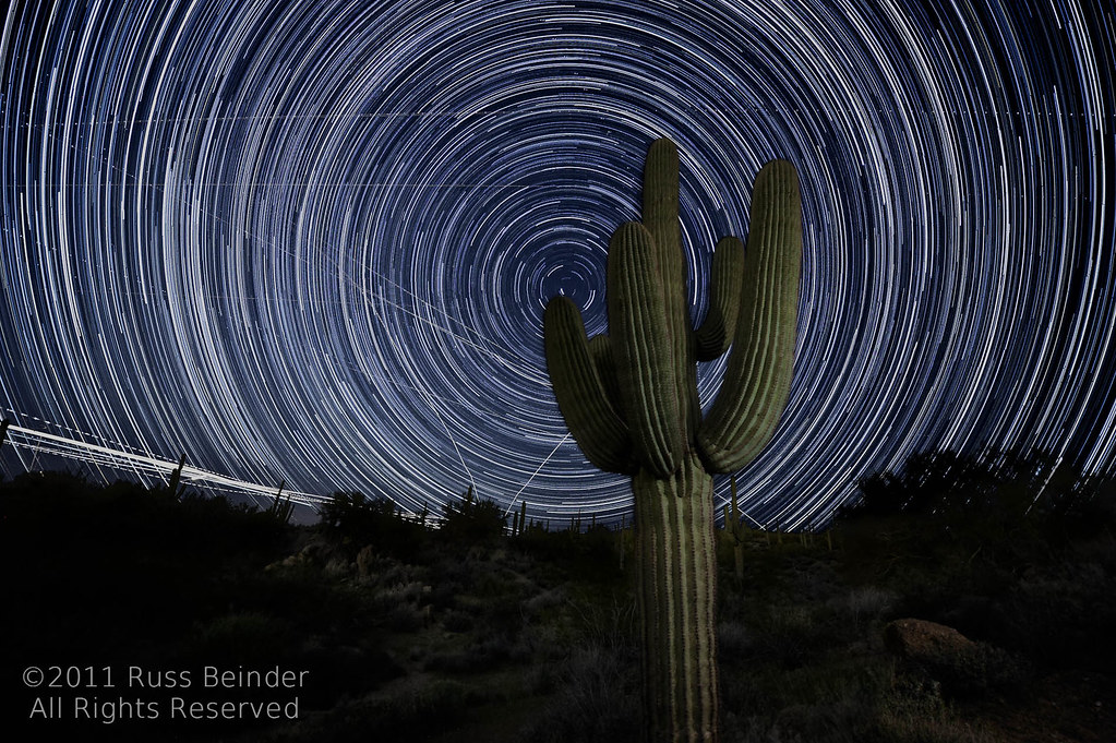
Seven Springs Lightning Strikes

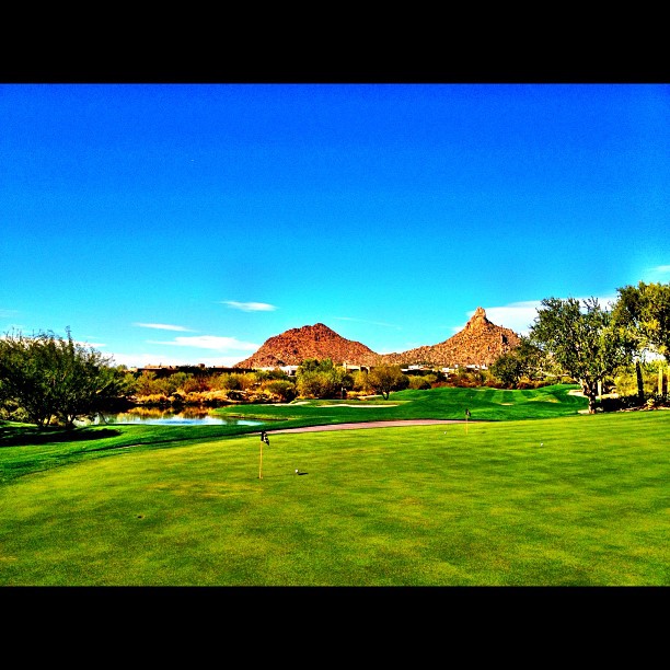
This view never gets old #troonnorth
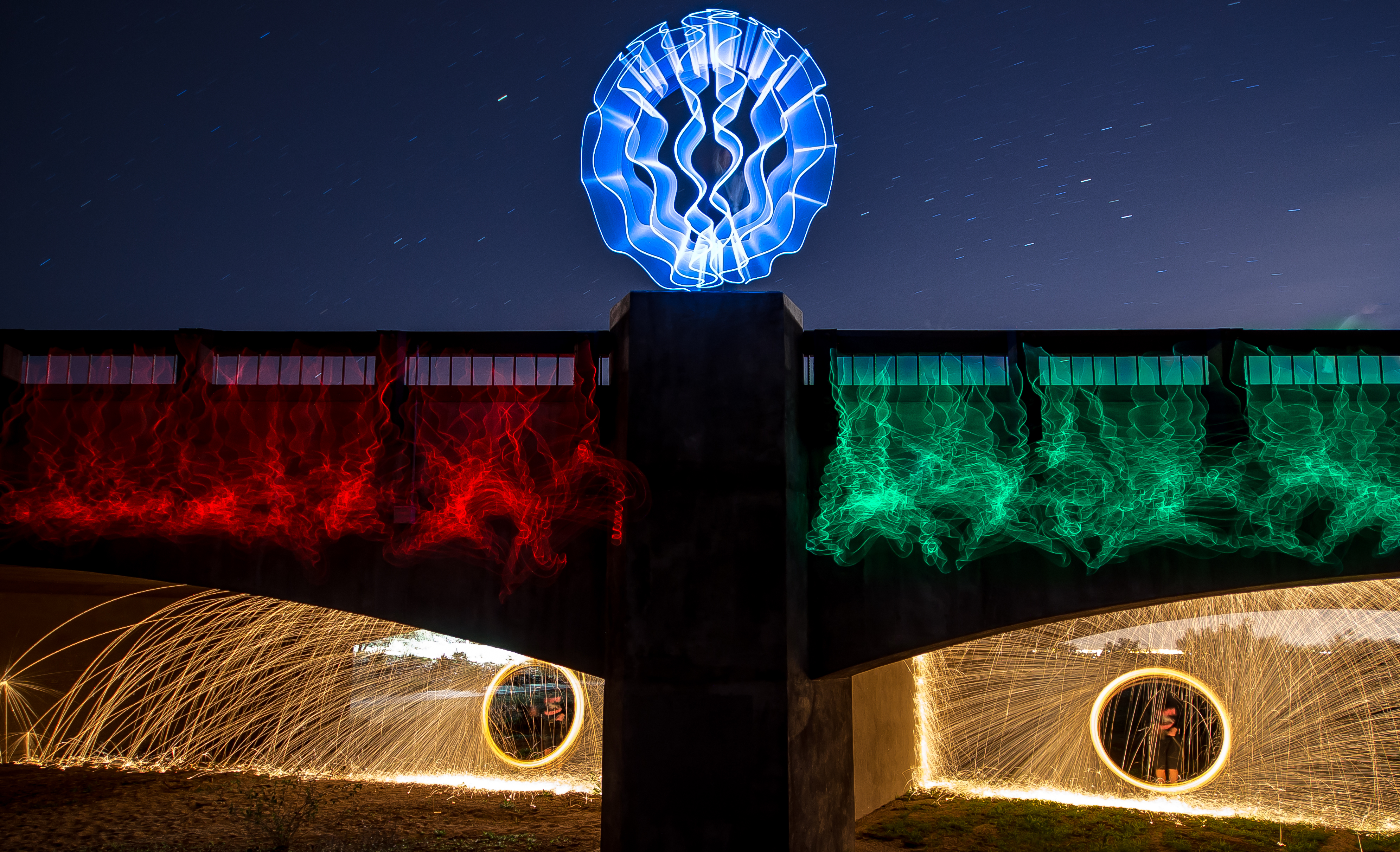
RGB..Y?

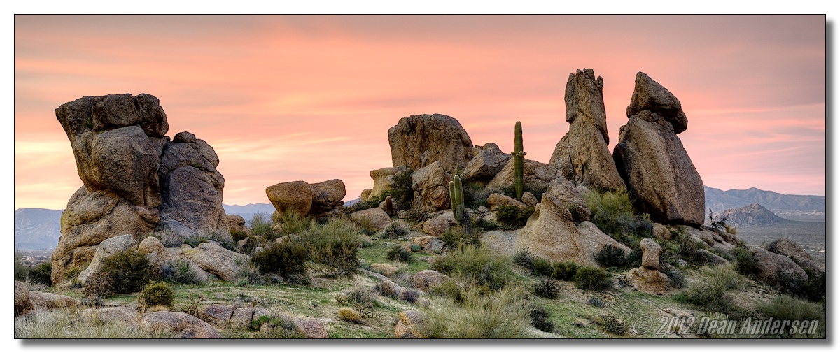
Land of the Giants
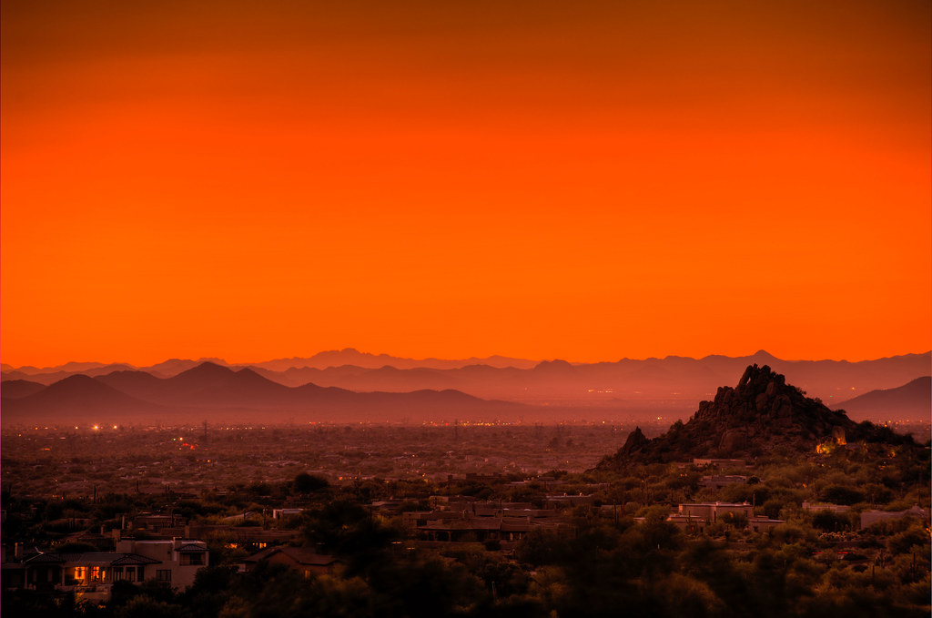
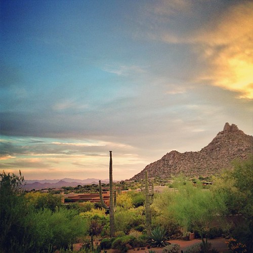
Scottsdale Sunset

May 2012 solar eclipse peak from Phoenix, Arizona, USA

Cool Retro Diner Arrow Sign: Big Earl's Greasy Eats, Cave Creek, Close-up, West View
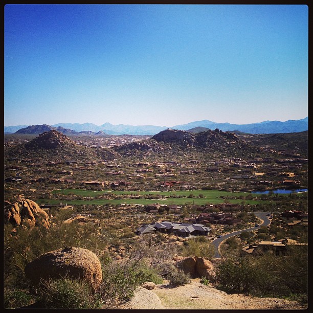
View from #pinnaclepeak highest point #scottsdale

Pink Snow Cactus
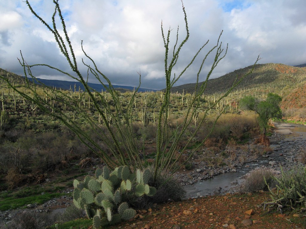
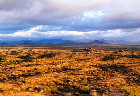
El Niño Desert

Cool Retro AZ Diner Sign: Big Earl's Greasy Eats, Cave Creek, View to the East

Hohokam Ghosts
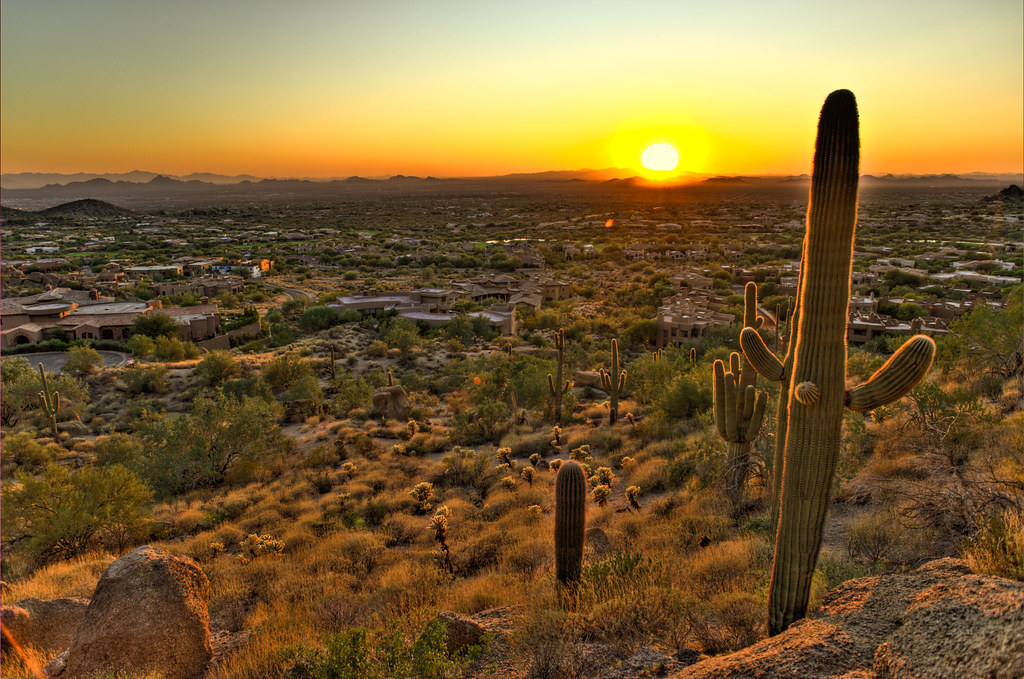
Cactus Sunset

View to southwest approaching Black Mesa - Spur Cross

Sunset 4.7.13

What a fabulous day in Scottsdale #hike #arizona #hike #scottsdale #pinnaclepeak
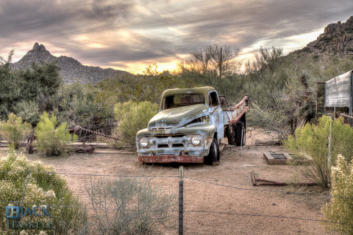
Pinnacle Peak from Greasewood Flats
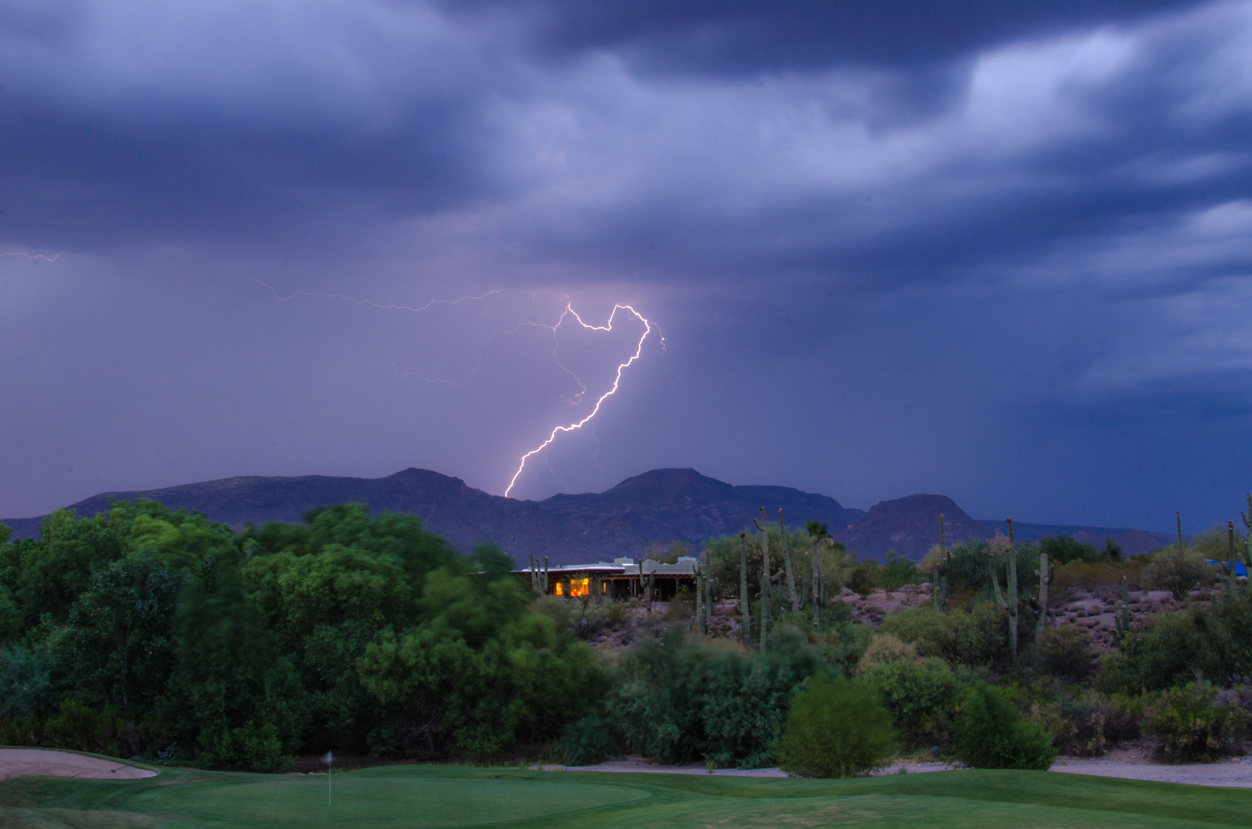
Lightning from Cave Creek
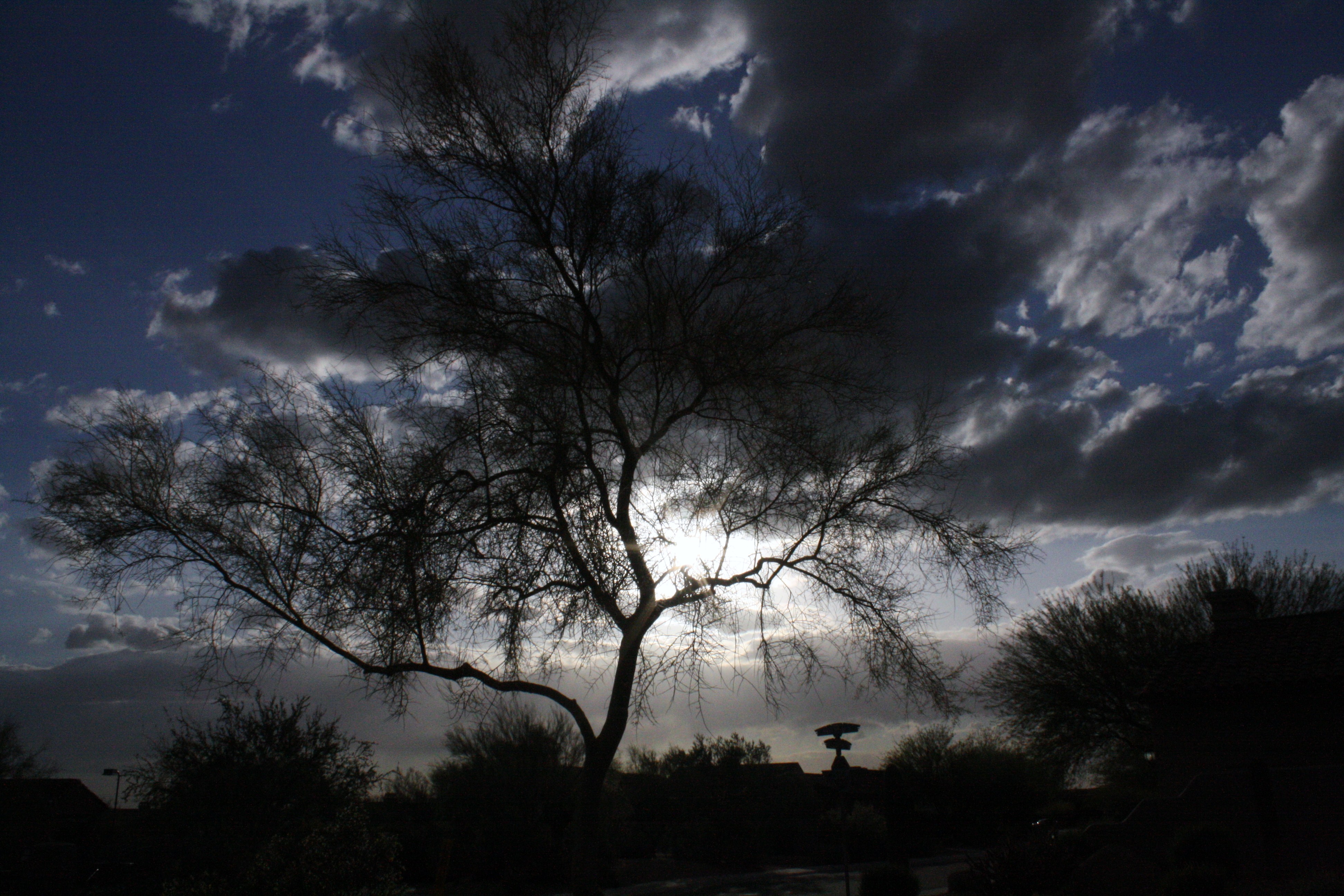
trees/ clouds

Camelback from Pinnacle Peak

Soooo do not want to leave this spot right now. 6pm flight, better go change in a few mins :S

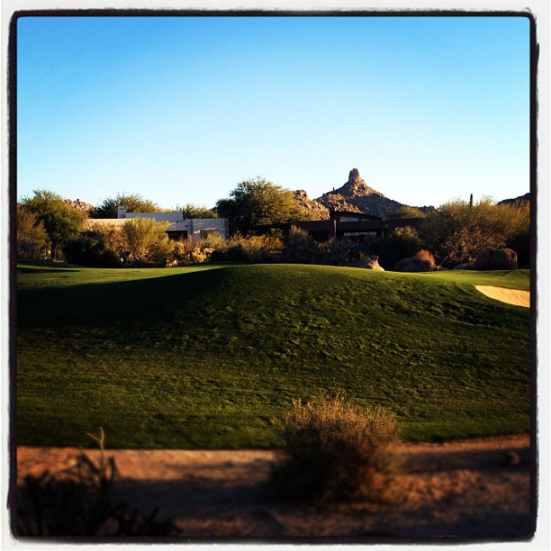
Pinnacle Peak
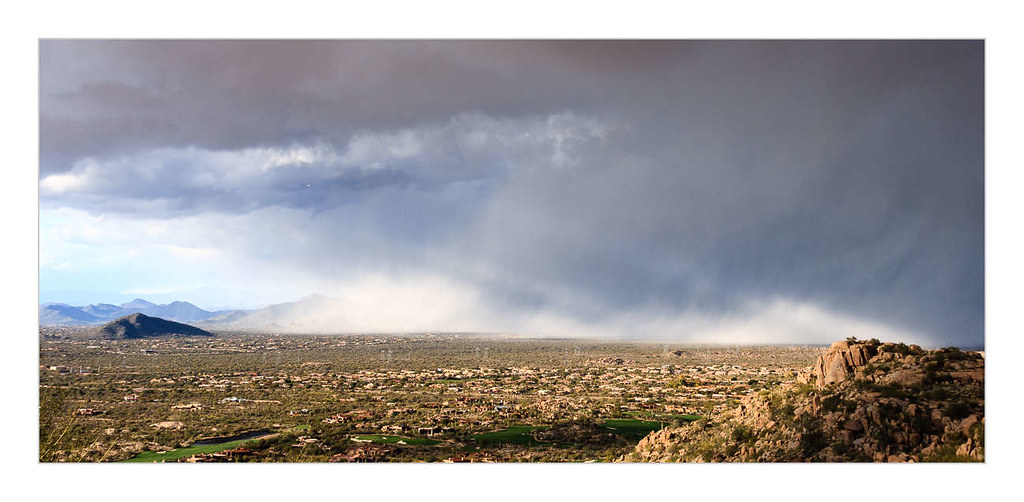
Desert Storm
Morning trail run
Pinnacle sunset.
A beautiful day for the Coldwell Banker Statewide Previews Conference at the Troon County Club.
Love sneaking on the golf course to #Run #runforit #troonnorth

Arizona-Lots-For-Sale-5
Arizona-Land-For-Sale-5
Rock Garden
#scottsdale
Topographic Map of Legend Trail, Scottsdale, AZ, USA
Find elevation by address:

Places in Legend Trail, Scottsdale, AZ, USA:
Places near Legend Trail, Scottsdale, AZ, USA:
East Roadrunner Drive
9759 E Roadrunner Dr
34462 N 99th St
9861 E Preserve Way
Legend Trail Golf Club
9896 E Chuckwagon Ln
35159 N 98th St
35231 N 98th St
9240 E Broken Arrow Dr
35079 N 92nd Pl
9569 E Suncrest Rd
9569 E Suncrest Rd
9569 E Suncrest Rd
36449 N 100th Way #272
Sierra Norte
10135 E Aniko Dr
9205 E Cave Creek Rd
37178 N 103rd St
Desert Mountain Golf Course
The Estates At Cave Creek
Recent Searches:
- Elevation of Corso Fratelli Cairoli, 35, Macerata MC, Italy
- Elevation of Tallevast Rd, Sarasota, FL, USA
- Elevation of 4th St E, Sonoma, CA, USA
- Elevation of Black Hollow Rd, Pennsdale, PA, USA
- Elevation of Oakland Ave, Williamsport, PA, USA
- Elevation of Pedrógão Grande, Portugal
- Elevation of Klee Dr, Martinsburg, WV, USA
- Elevation of Via Roma, Pieranica CR, Italy
- Elevation of Tavkvetili Mountain, Georgia
- Elevation of Hartfords Bluff Cir, Mt Pleasant, SC, USA