Elevation of Legend Trail Golf Club, N Legendary Trail, Scottsdale, AZ, USA
Location: United States > Arizona > Maricopa County > Scottsdale > Legend Trail >
Longitude: -111.87733
Latitude: 33.8004008
Elevation: 790m / 2592feet
Barometric Pressure: 92KPa
Elevation Map:
Satellite Map:
Related Photos:
Flight Path
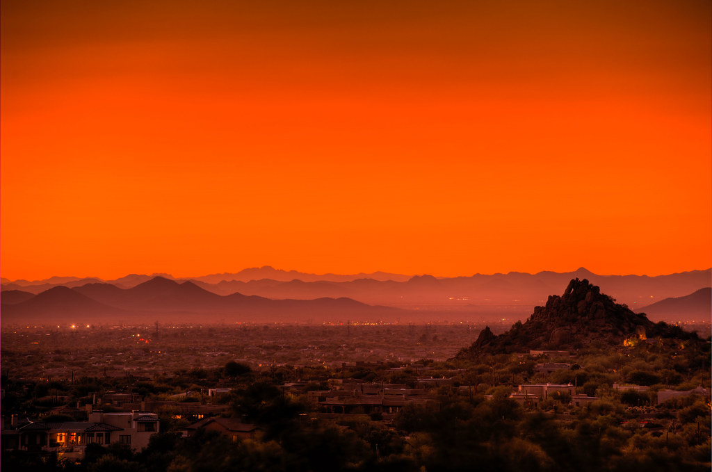
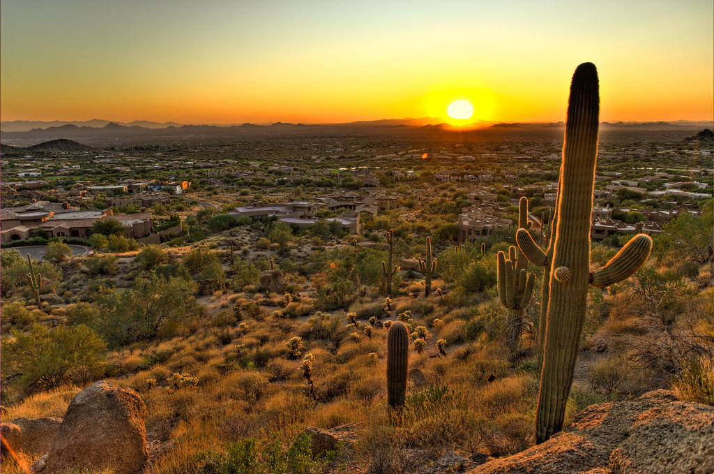
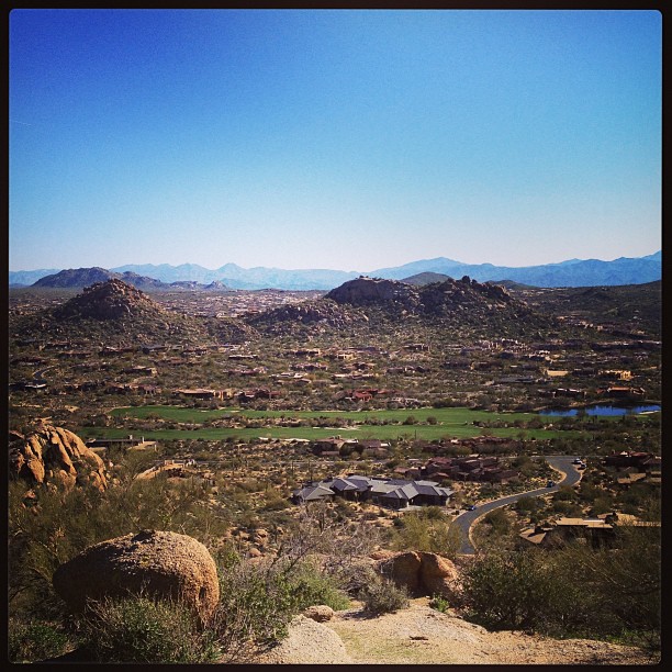
Scottsdale Sunset

Arizona Wedding Photography - Greyhawk Golf Portrait - Strobist Photographer
Another beautiful view from #pinnaclepeak hike this morning

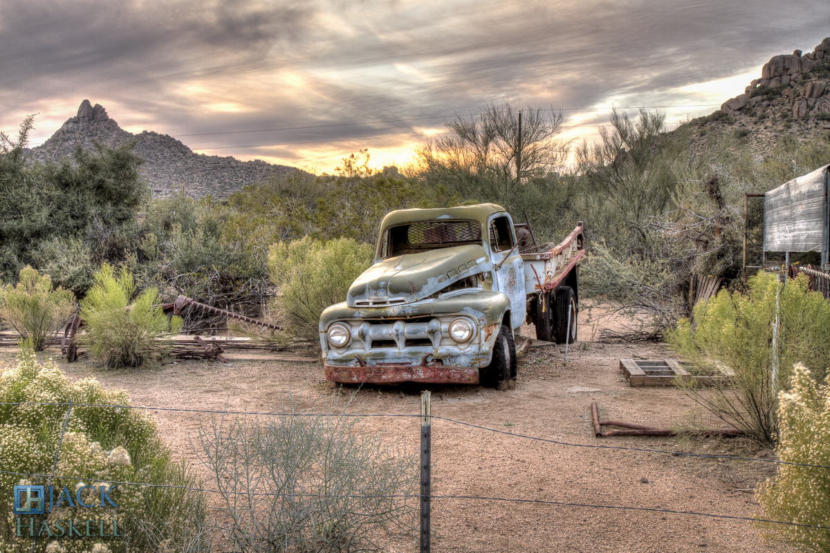
All I Asked Was, "Which Way?"
Arizona Life
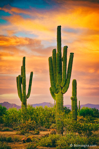
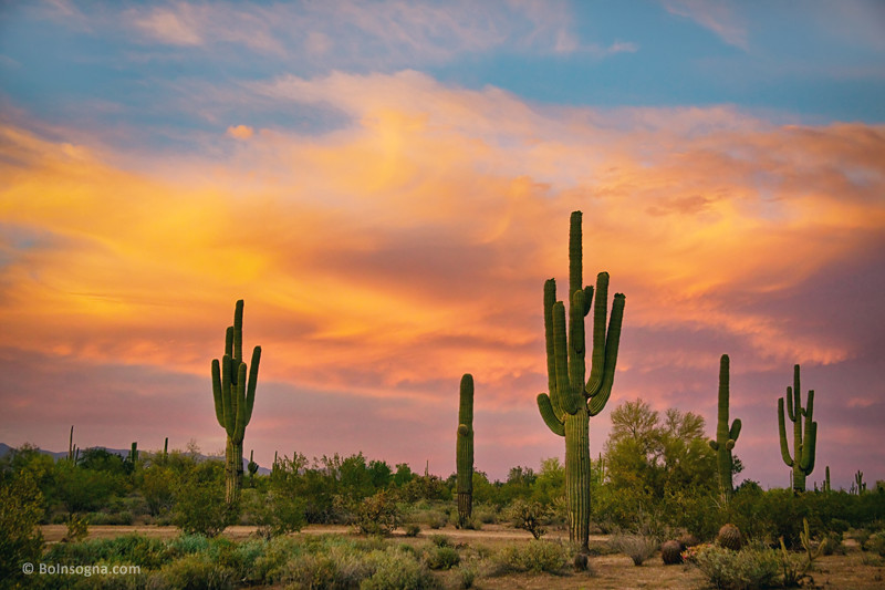
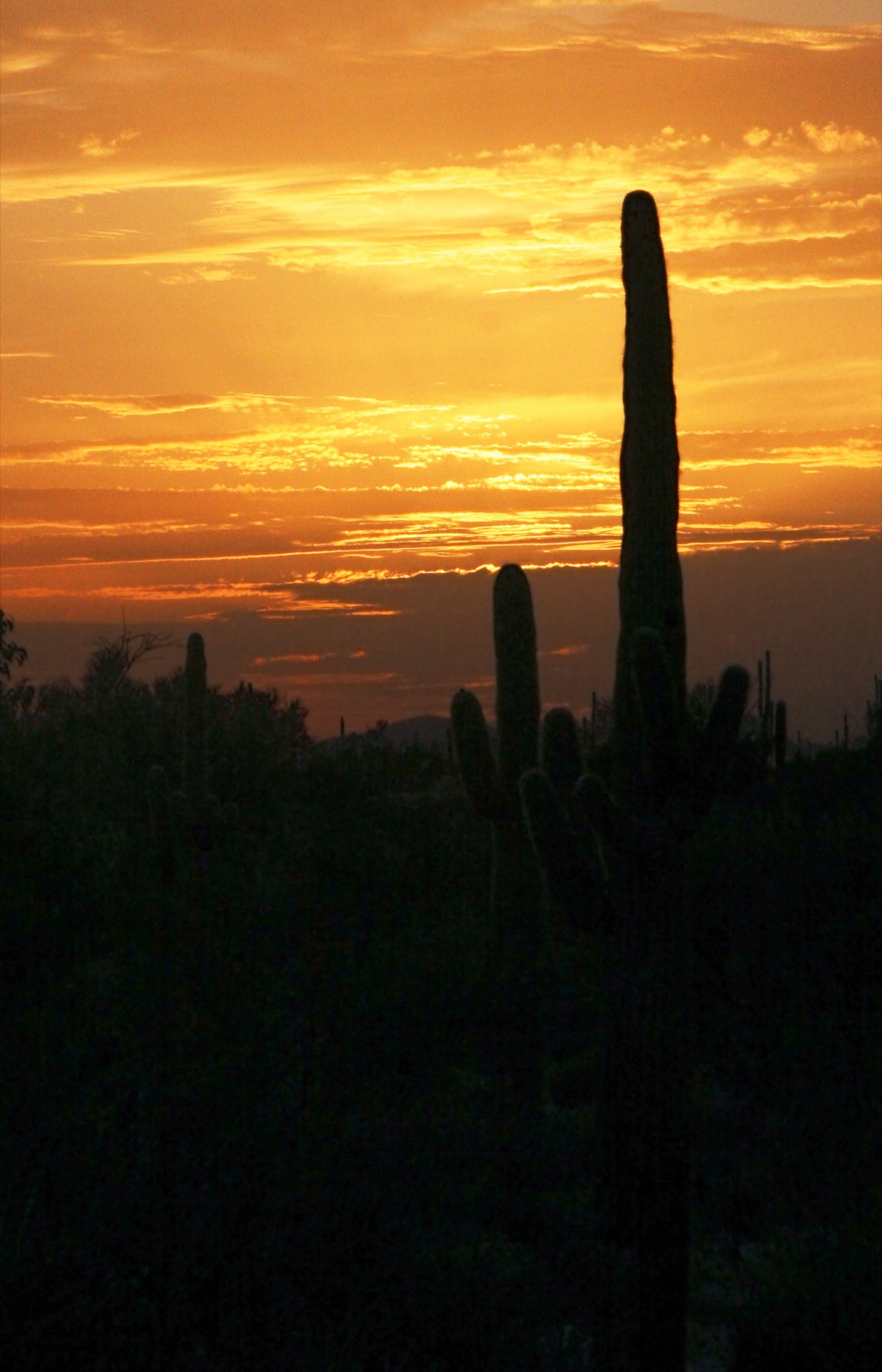
Cactus Sunset
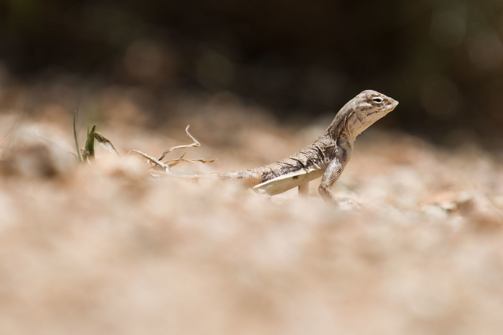
Zebra-tailed Lizard

This view never gets old #troonnorth
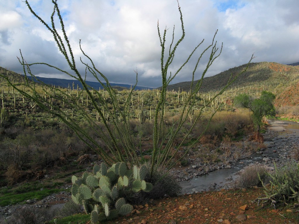
Saguaro Desert Life

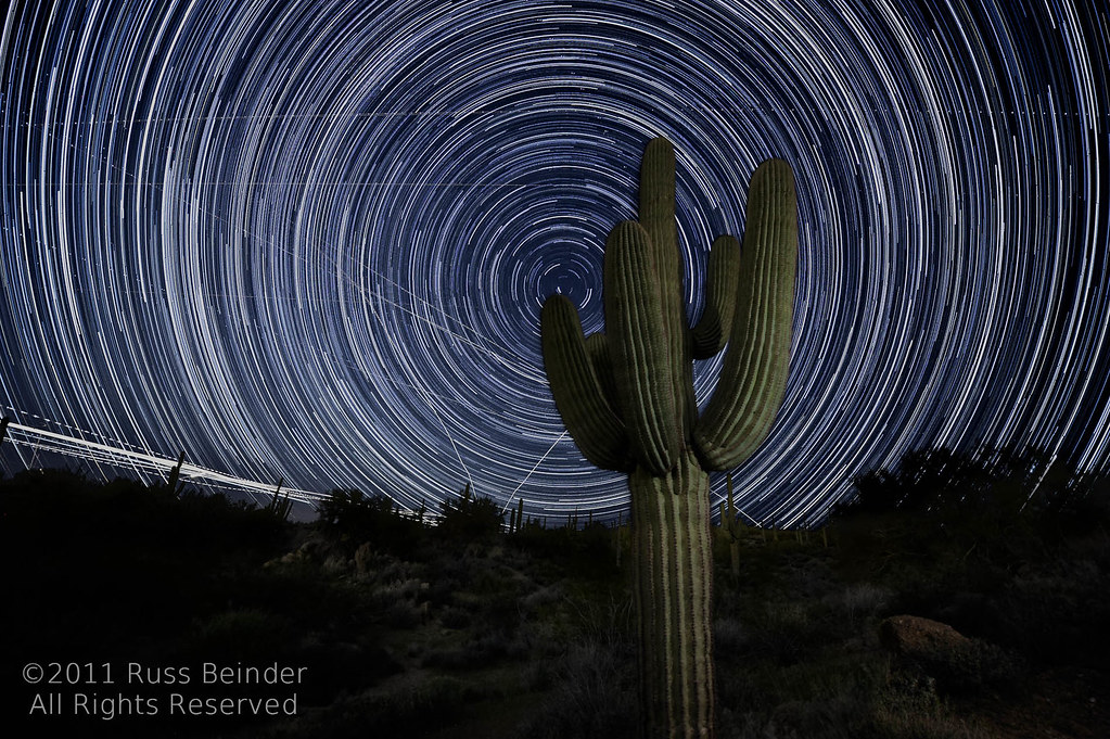
Land of the Giants

Cool Retro Diner Arrow Sign: Big Earl's Greasy Eats, Cave Creek, Close-up, West View

May 2012 solar eclipse peak from Phoenix, Arizona, USA

"Saguaro You Here?"--pun by Paul Ewing and Tim Lefler
El Niño Desert
View from #pinnaclepeak highest point #scottsdale
Shots from Devcon
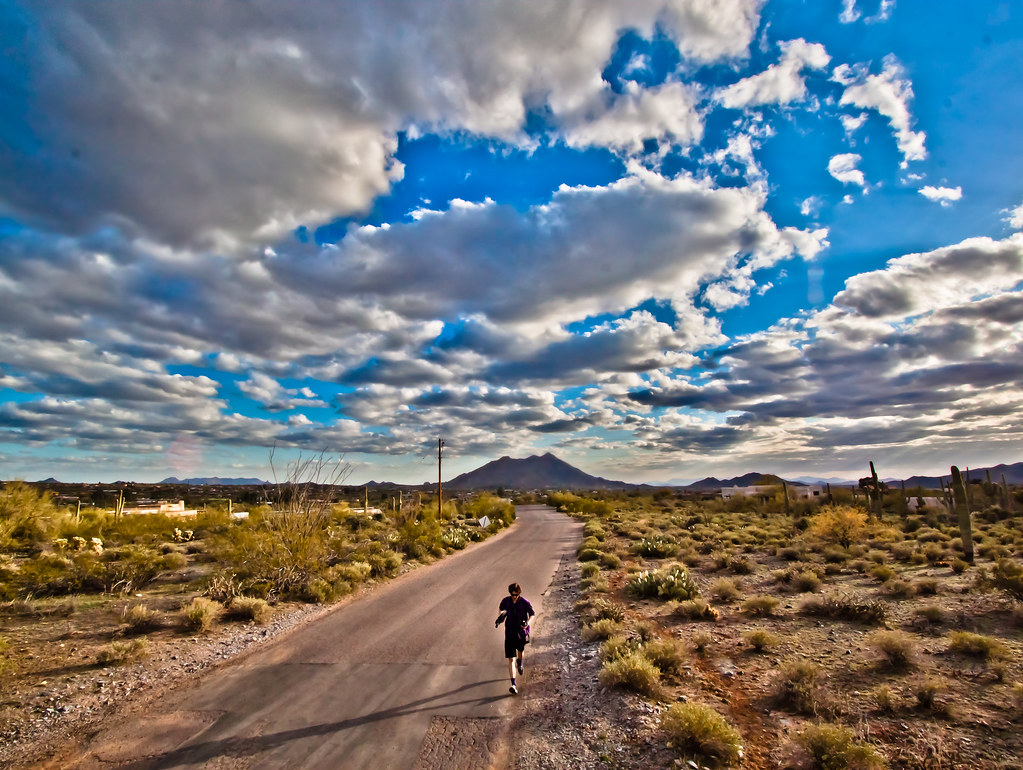
the view

Elephant Mountain Sunrise

View to southwest approaching Black Mesa - Spur Cross

Cool Retro AZ Diner Sign: Big Earl's Greasy Eats, Cave Creek, View to the East
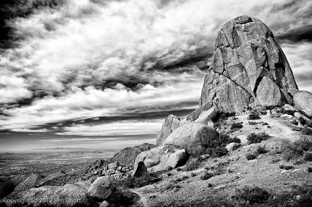
371. View from atop Quien Sabe summit centered on Black Mountain in the distance
Pinnacle Peak from Greasewood Flats

Sunset 4.7.13
Welcome to Arizona. Here's a (tone)Map of the Area!
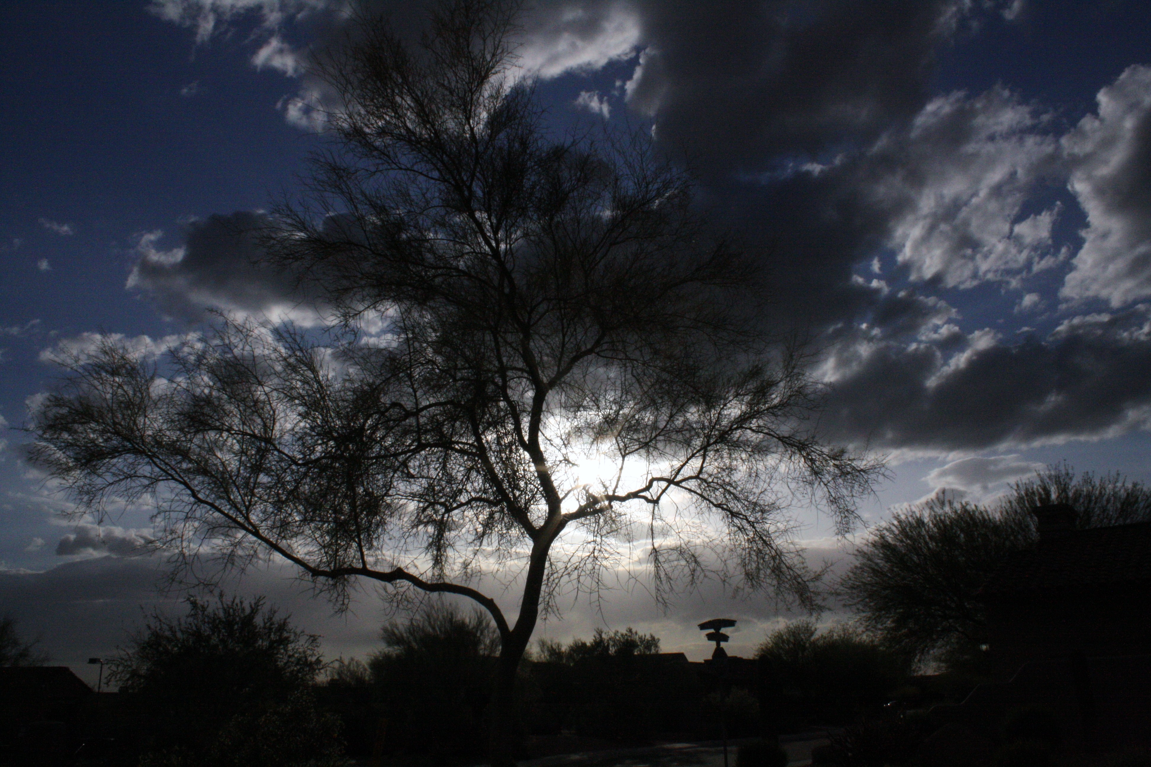
trees/ clouds

What a fabulous day in Scottsdale #hike #arizona #hike #scottsdale #pinnaclepeak

Pinnacle Peak
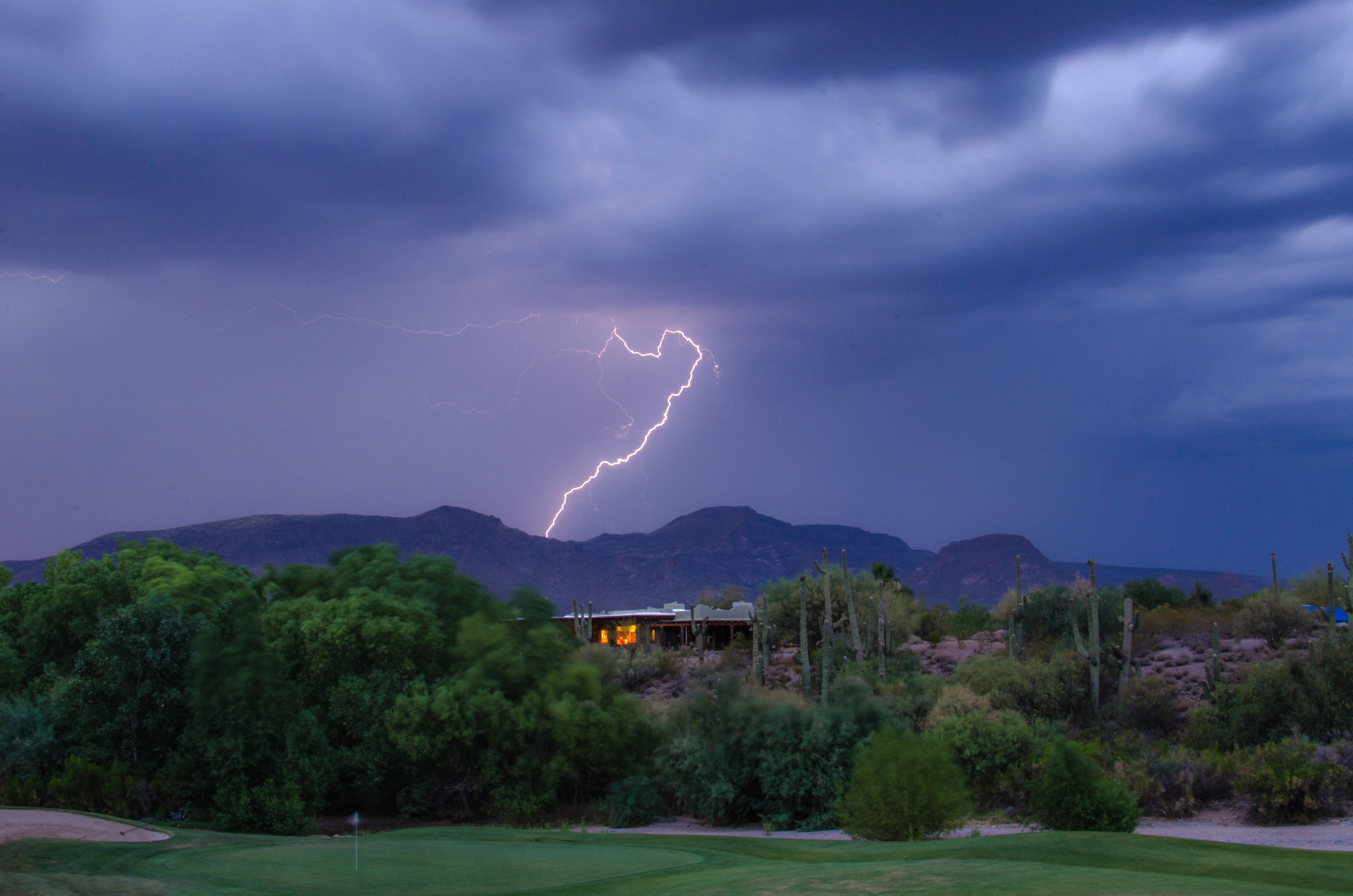
Lightning from Cave Creek
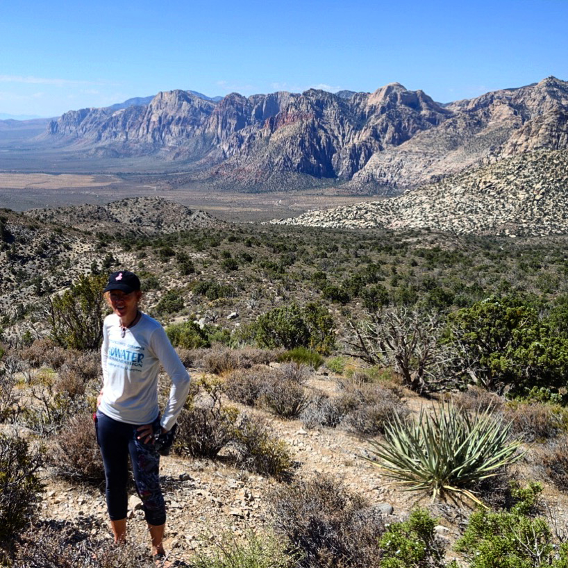
2017_07_26_Vegas Red Rock and Superzoo-31

Sunrise from Lone Mountain
Arizona country scene
A beautiful day for the Coldwell Banker Statewide Previews Conference at the Troon County Club.
ott sky
Tom's Thumb

Elephant Mountain at Sunrise - Spur Cross Ranch
Saguaro Gold
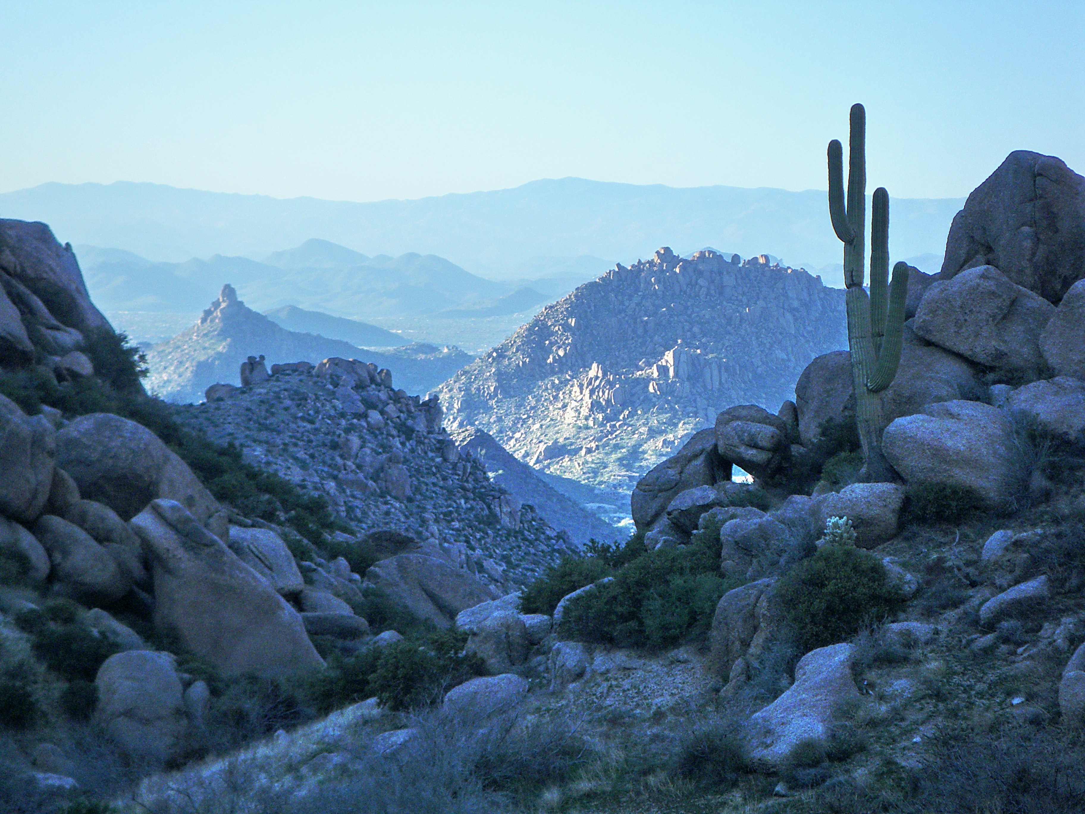
Pinnacle Peak from Tom's Thumb Ravine - McDowell Mountains
Topographic Map of Legend Trail Golf Club, N Legendary Trail, Scottsdale, AZ, USA
Find elevation by address:

Places near Legend Trail Golf Club, N Legendary Trail, Scottsdale, AZ, USA:
9240 E Broken Arrow Dr
35079 N 92nd Pl
Legend Trail
East Roadrunner Drive
9759 E Roadrunner Dr
35159 N 98th St
35231 N 98th St
34462 N 99th St
9896 E Chuckwagon Ln
9861 E Preserve Way
9569 E Suncrest Rd
9569 E Suncrest Rd
9569 E Suncrest Rd
Sierra Norte
36449 N 100th Way #272
9205 E Cave Creek Rd
10135 E Aniko Dr
Desert Mountain Golf Course
9821 E Sundance Trail
37178 N 103rd St
Recent Searches:
- Elevation of Corso Fratelli Cairoli, 35, Macerata MC, Italy
- Elevation of Tallevast Rd, Sarasota, FL, USA
- Elevation of 4th St E, Sonoma, CA, USA
- Elevation of Black Hollow Rd, Pennsdale, PA, USA
- Elevation of Oakland Ave, Williamsport, PA, USA
- Elevation of Pedrógão Grande, Portugal
- Elevation of Klee Dr, Martinsburg, WV, USA
- Elevation of Via Roma, Pieranica CR, Italy
- Elevation of Tavkvetili Mountain, Georgia
- Elevation of Hartfords Bluff Cir, Mt Pleasant, SC, USA