Elevation of Lees Mill, NC, USA
Location: United States > North Carolina > Washington County >
Longitude: -76.618165
Latitude: 35.8360693
Elevation: 4m / 13feet
Barometric Pressure: 101KPa
Elevation Map:
Satellite Map:
Related Photos:

Monotone Isolation

Rifled Cannon HDR

North Carolina, Plymouth, Roanoke River Lighthouse (Replica) (2,107b)

North Carolina, Plymouth, Roanoke River Lighthouse (Replica) (2,107)

Boom!

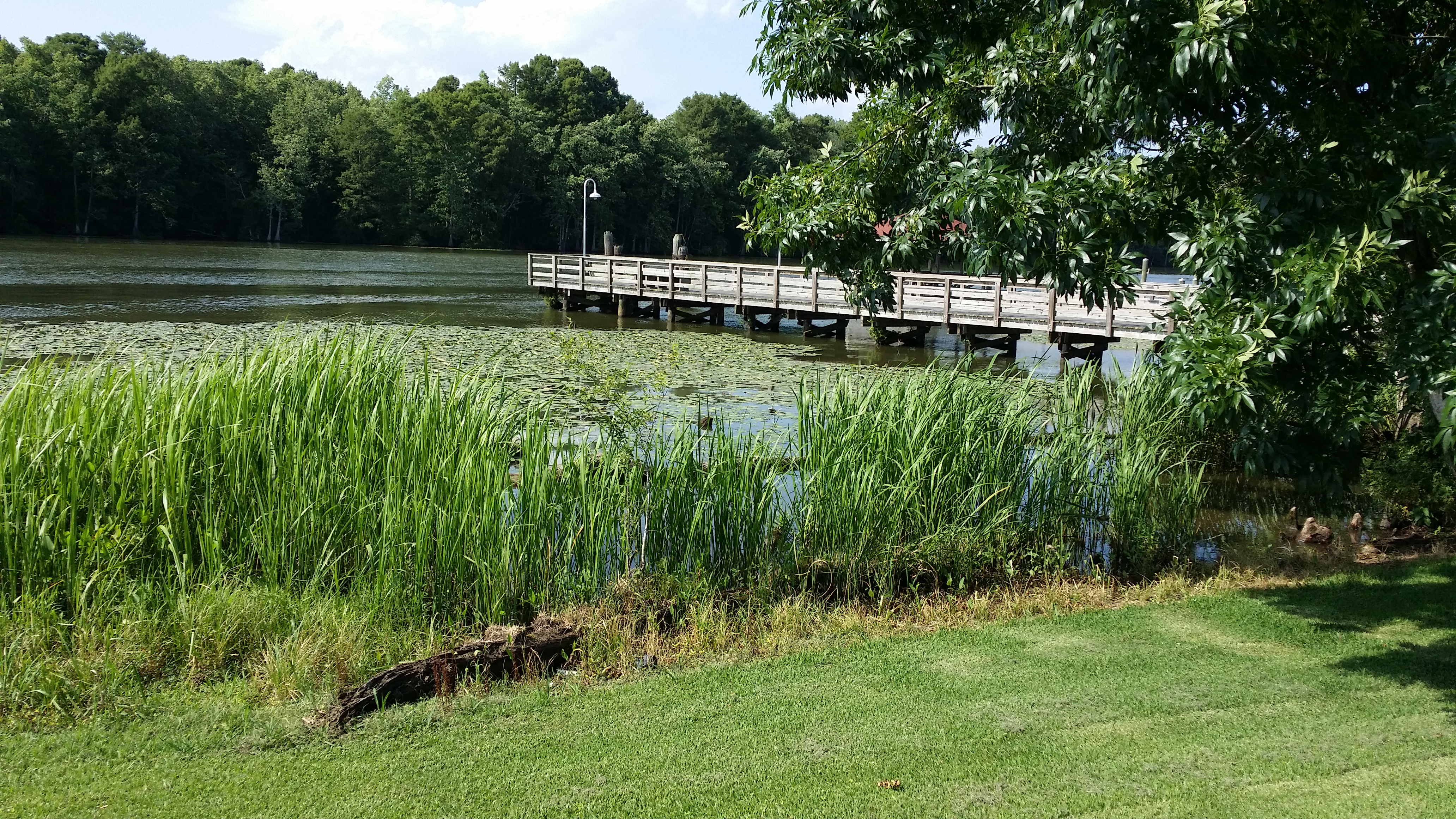
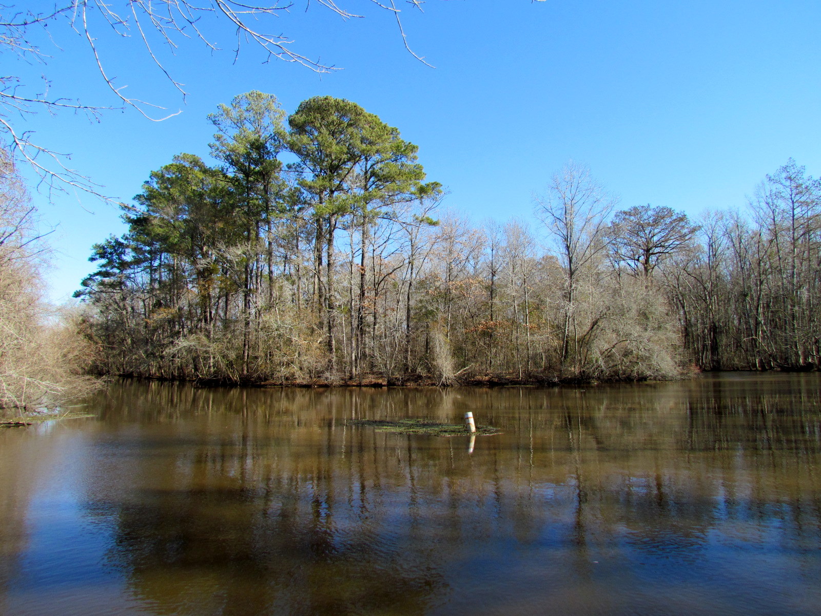
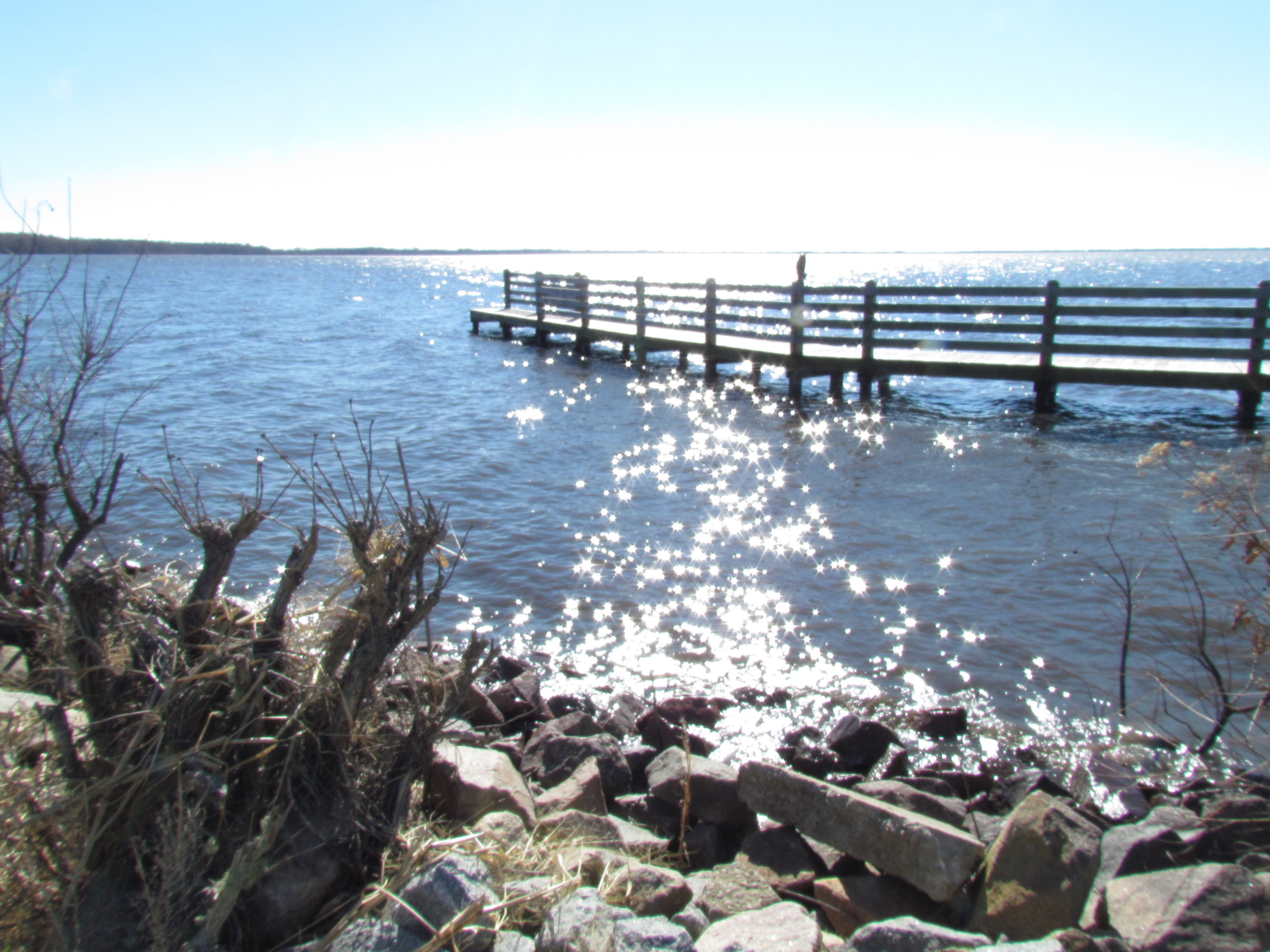
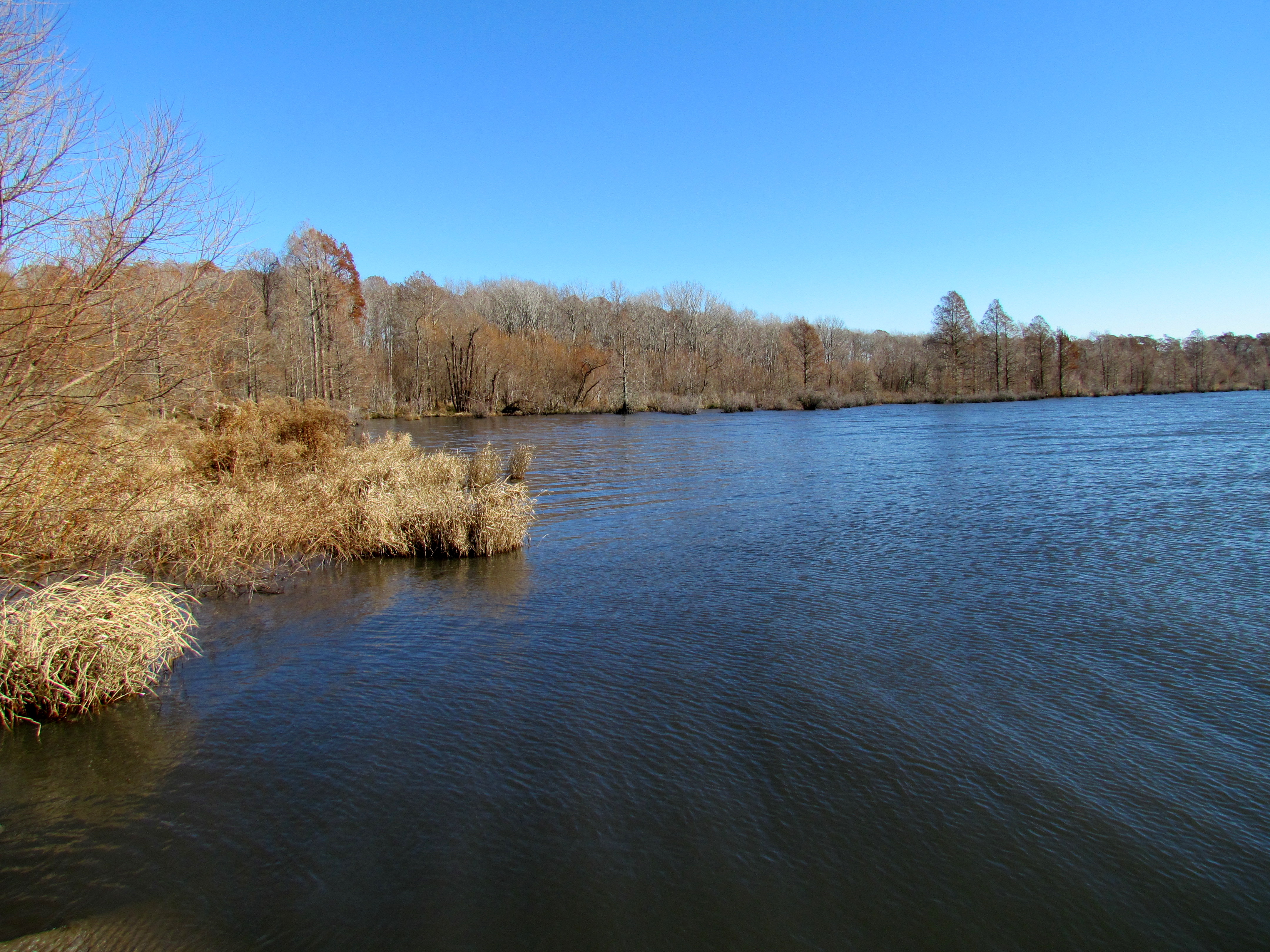
View of the Roanoke River
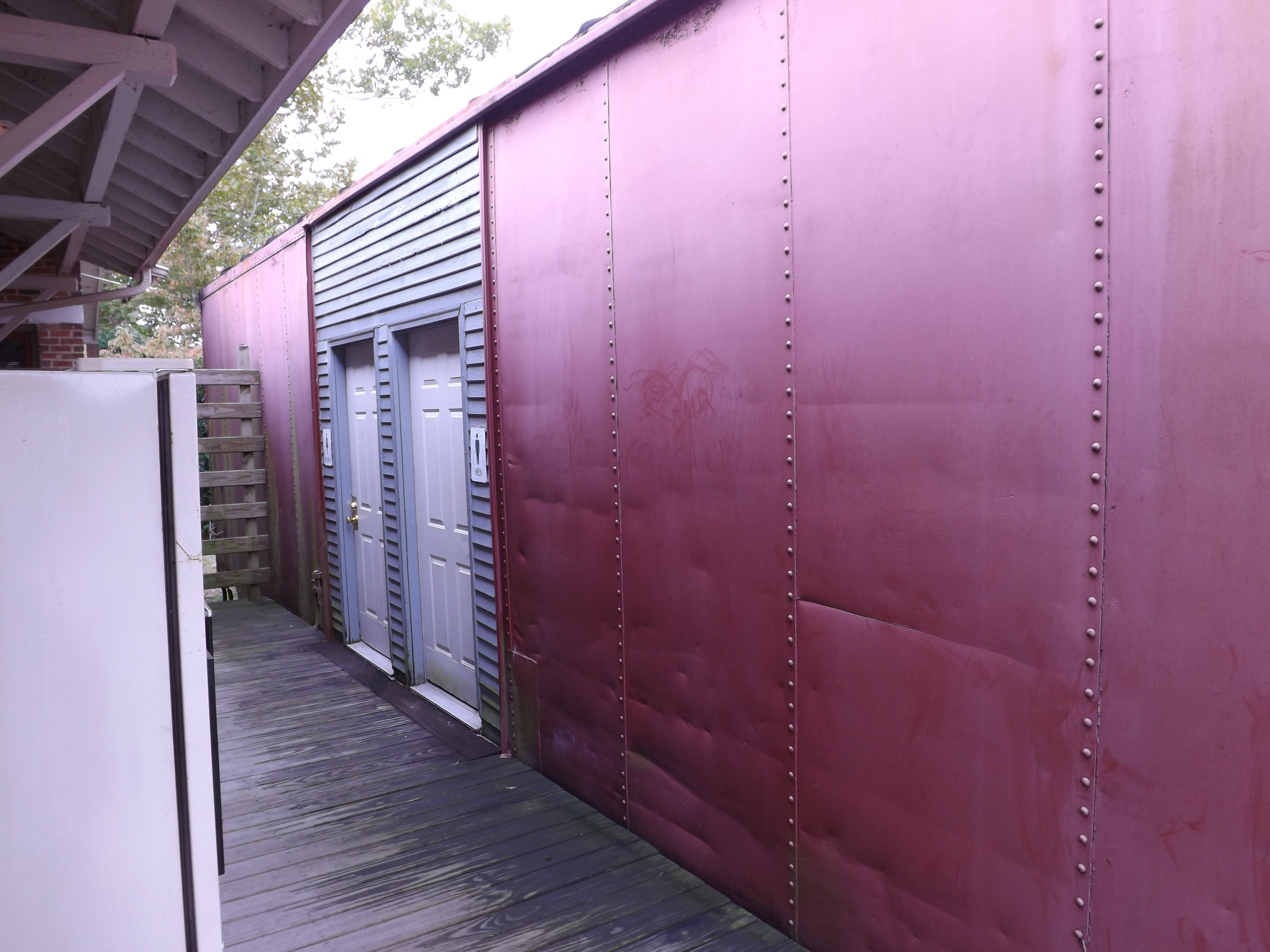
Boxcar Restrooms
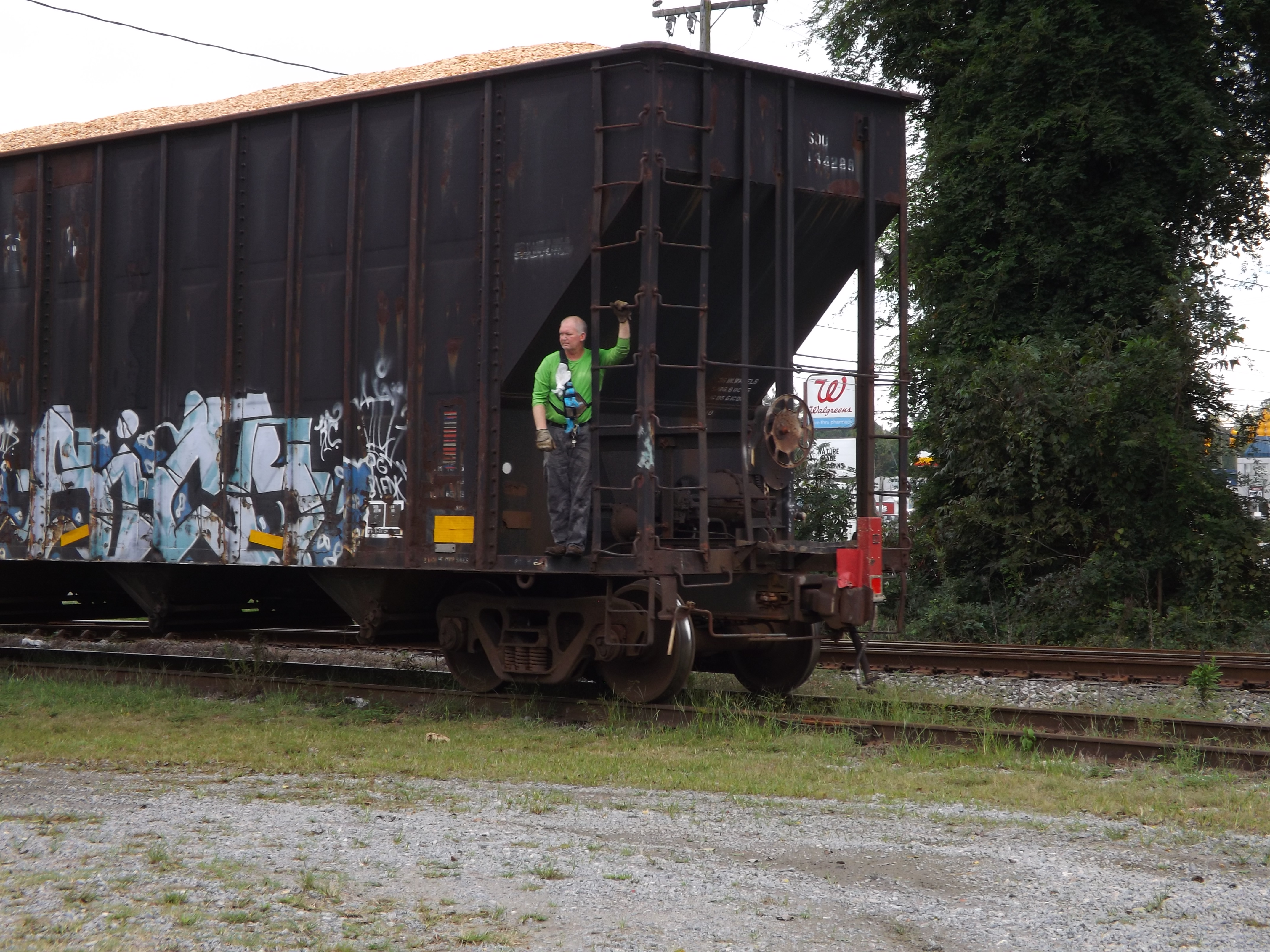
Conductor enjoying the view
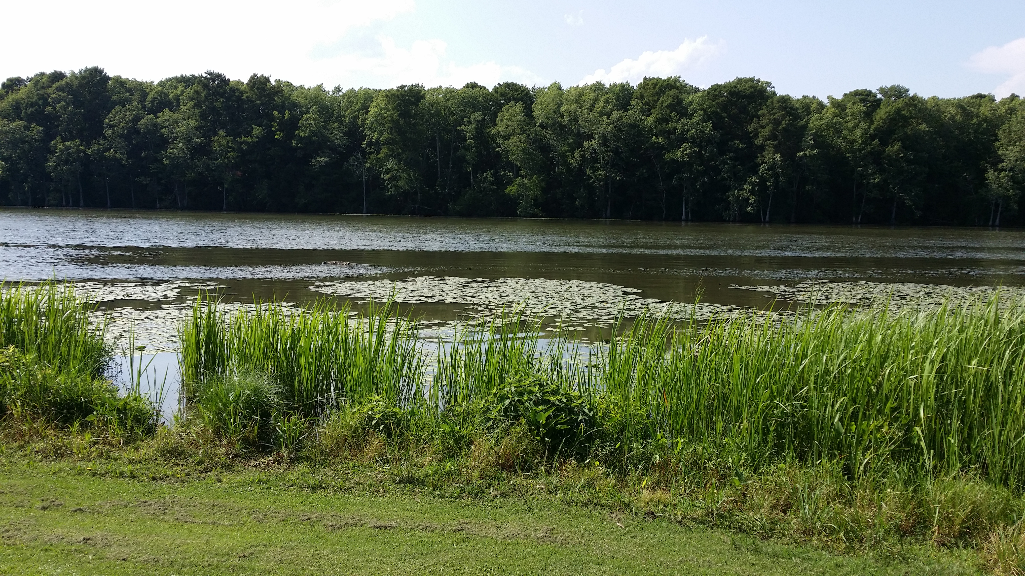
View of the Roanoke River
View of the Roanoke River
Pettigrew SP NC 0394
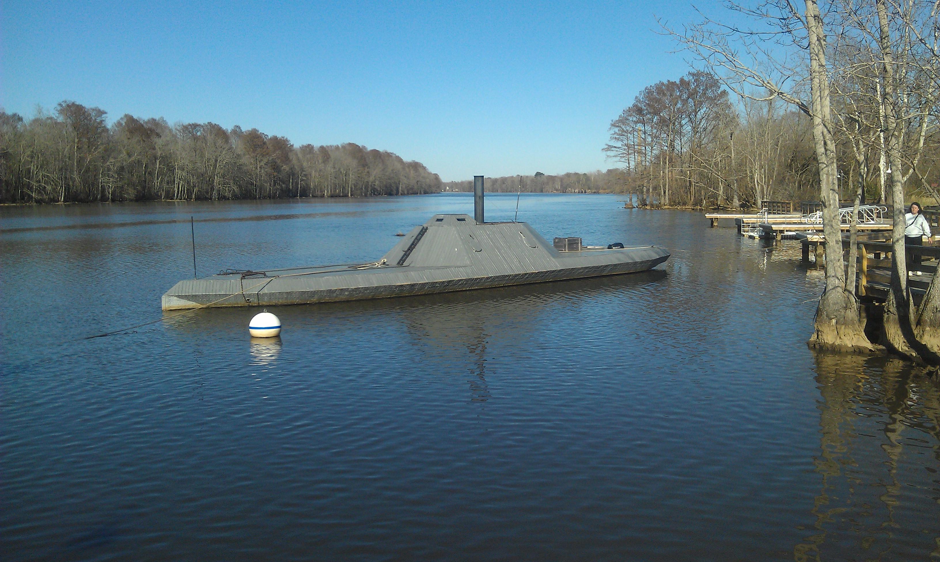
CSS ALBEMARLE replica- Plymouth NC (3)
Migratied geese winter feeding on the field Reflection Pettigrew SP NC 0390
Migratied geese winter feeding on the field Reflection Pettigrew SP NC 0361
Migratied geese winter feeding on the field Reflection Lake Phelps Pettigrew SP NC 0369

Migratied geese winter feeding on the field Reflection Pettigrew SP NC 0389
Migratied geese winter feeding on the field Reflection Lake Phelps Pettigrew SP NC 0368
Pettigrew SP NC 0391
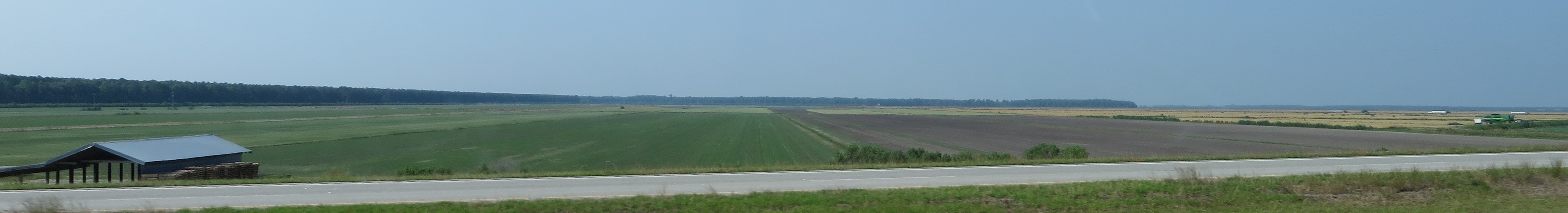
U.S. 64 Near Plymouth, North Carolina
Migratied geese winter feeding on the field Reflection Pettigrew SP NC 0362

U.S. 64 Near Plymouth, North Carolina
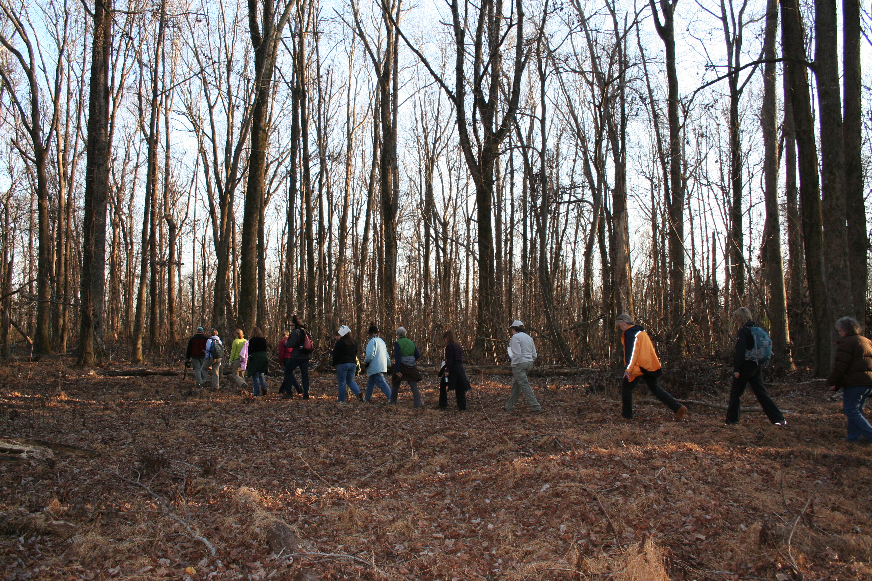
Walking Through the Bear Woods

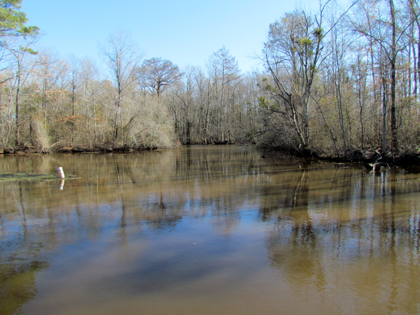
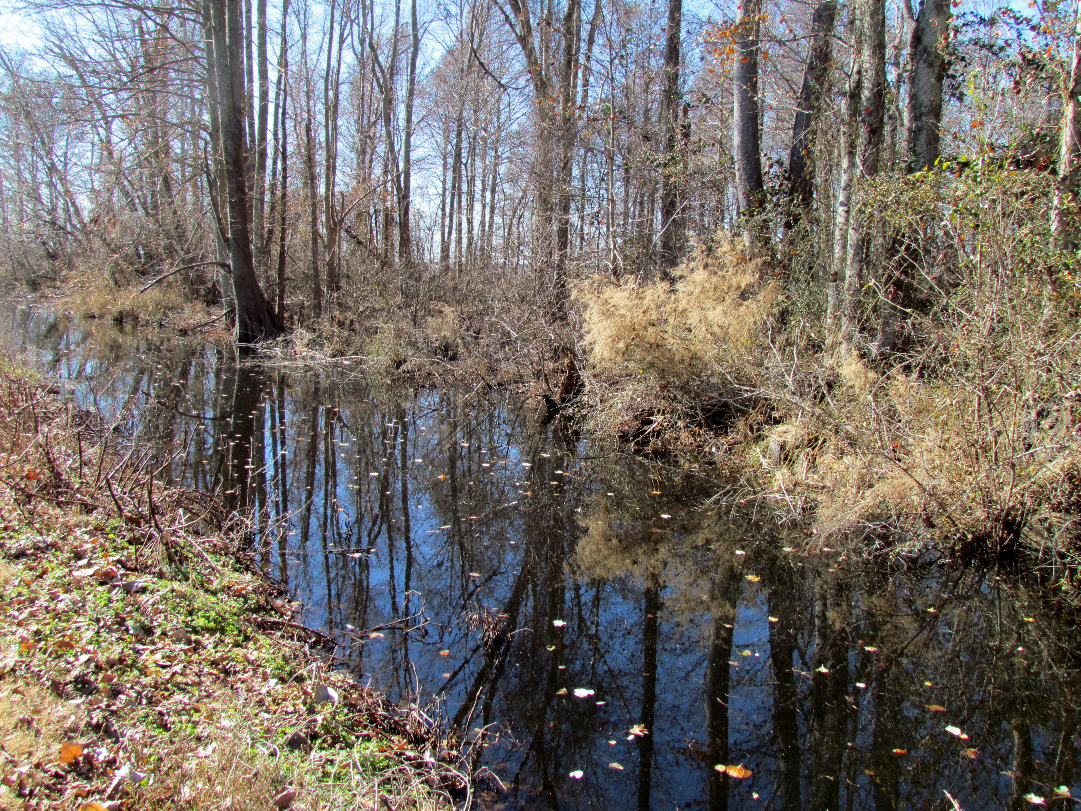
The River

U.S. 64 Near Plymouth, North Carolina

looking down the Roanoke river from lighthouse
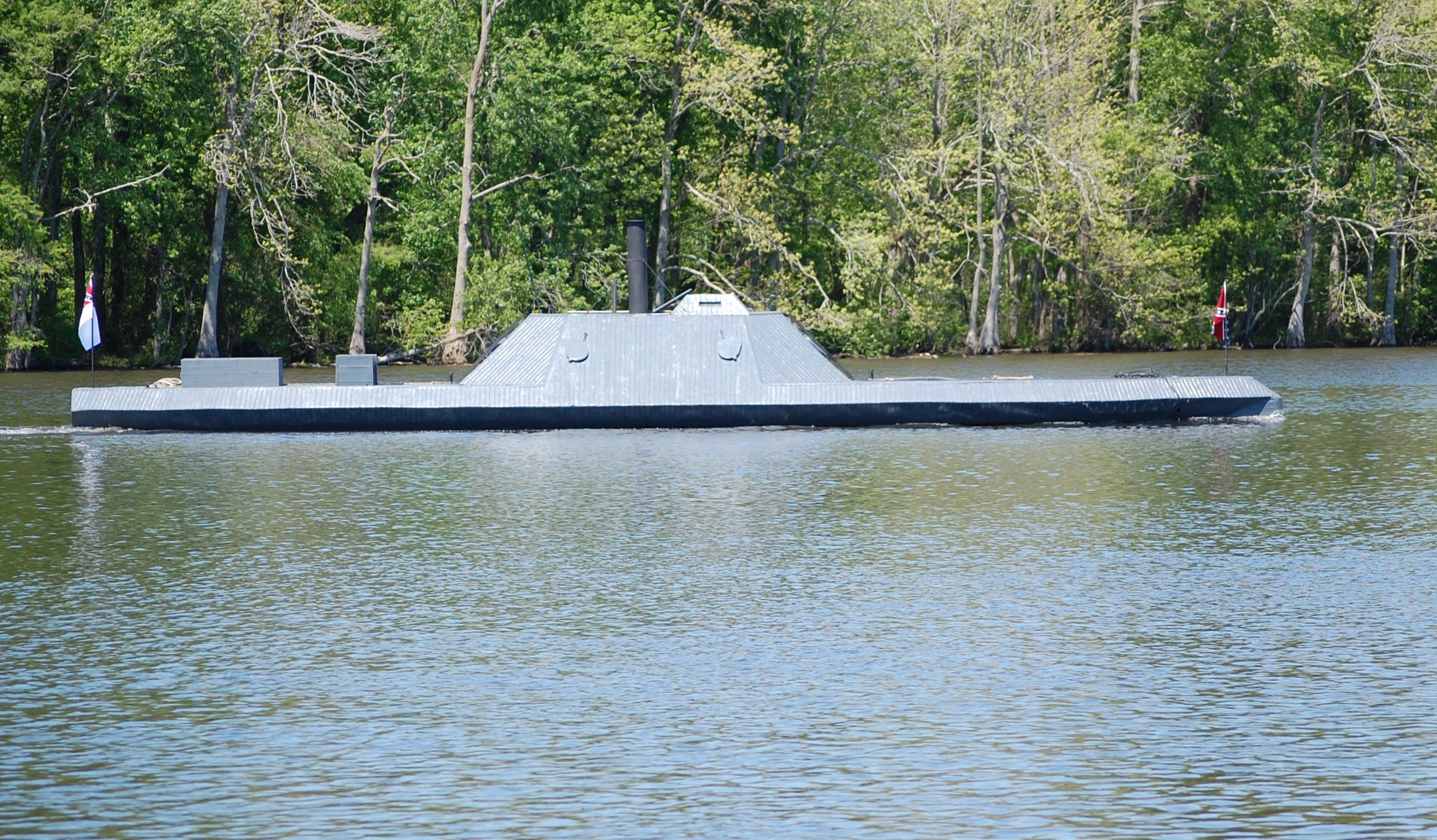
CSS Albemarle
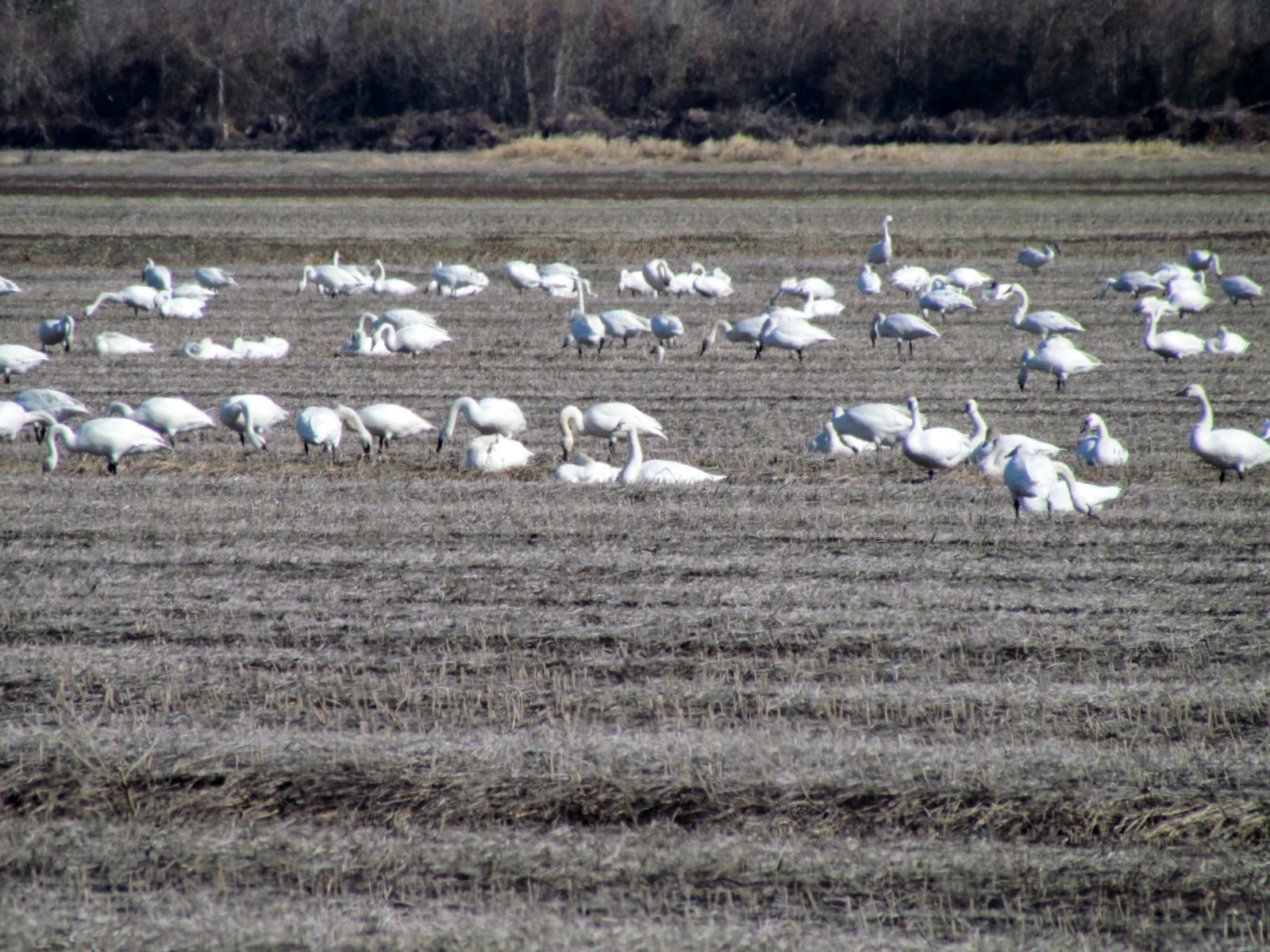
Migratied geese winter feeding on the field Pettigrew SP NC 0381
Topographic Map of Lees Mill, NC, USA
Find elevation by address:

Places in Lees Mill, NC, USA:
Places near Lees Mill, NC, USA:
Washington County
307 Buncombe Ave
Roper
NC-32, Roper, NC, USA
81 Nc-45
Mackeys Rd, Roper, NC, USA
11550 Nc-32
67 Mackeys Ferry Rd
12067 Nc-32
386 Mariners Dr
1459 Albemarle Beach Rd
Loop Road
13242 Nc-32
13260 Nc-32
13274 Nc-32
223 Old Roper Rd
101 Golden Ln
8899 Railroad Bed Rd
161 Conaby Dr
General Matt Ransome Drive
Recent Searches:
- Elevation of Corso Fratelli Cairoli, 35, Macerata MC, Italy
- Elevation of Tallevast Rd, Sarasota, FL, USA
- Elevation of 4th St E, Sonoma, CA, USA
- Elevation of Black Hollow Rd, Pennsdale, PA, USA
- Elevation of Oakland Ave, Williamsport, PA, USA
- Elevation of Pedrógão Grande, Portugal
- Elevation of Klee Dr, Martinsburg, WV, USA
- Elevation of Via Roma, Pieranica CR, Italy
- Elevation of Tavkvetili Mountain, Georgia
- Elevation of Hartfords Bluff Cir, Mt Pleasant, SC, USA