Elevation of Lees Command Blvd, Fredericksburg, VA, USA
Location: United States > Virginia > Spotsylvania County > Courtland >
Longitude: -77.592788
Latitude: 38.297941
Elevation: 92m / 302feet
Barometric Pressure: 100KPa
Elevation Map:
Satellite Map:
Related Photos:

Classic Bike
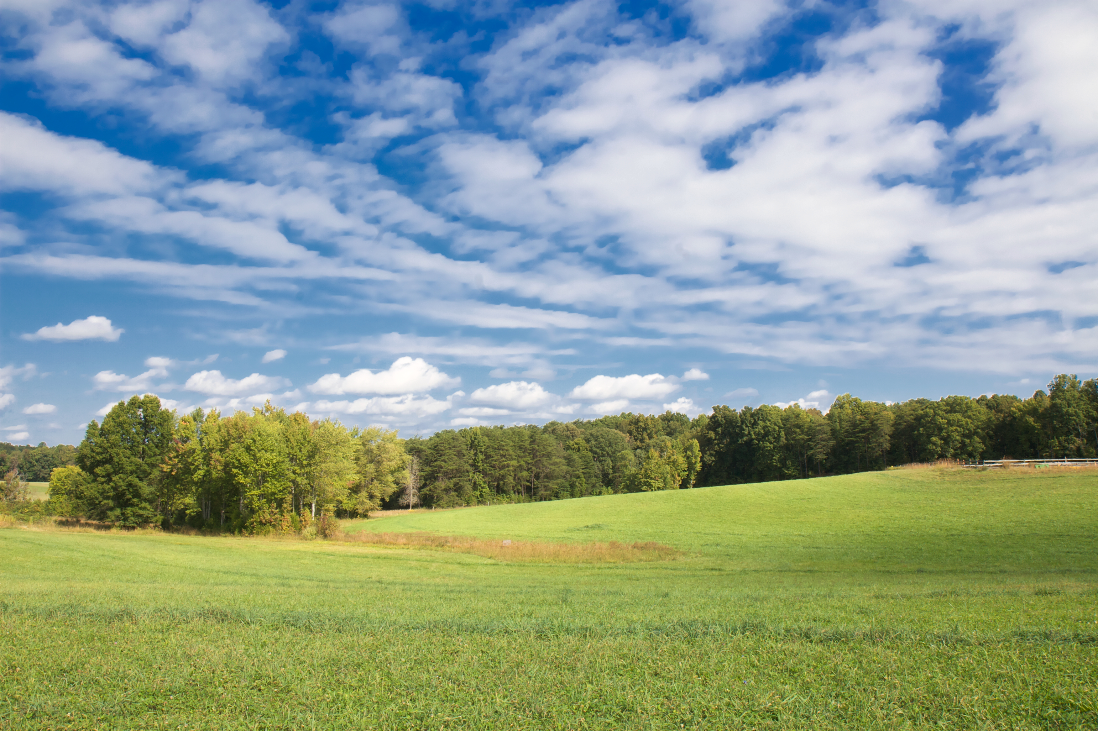
Virginia Splendor

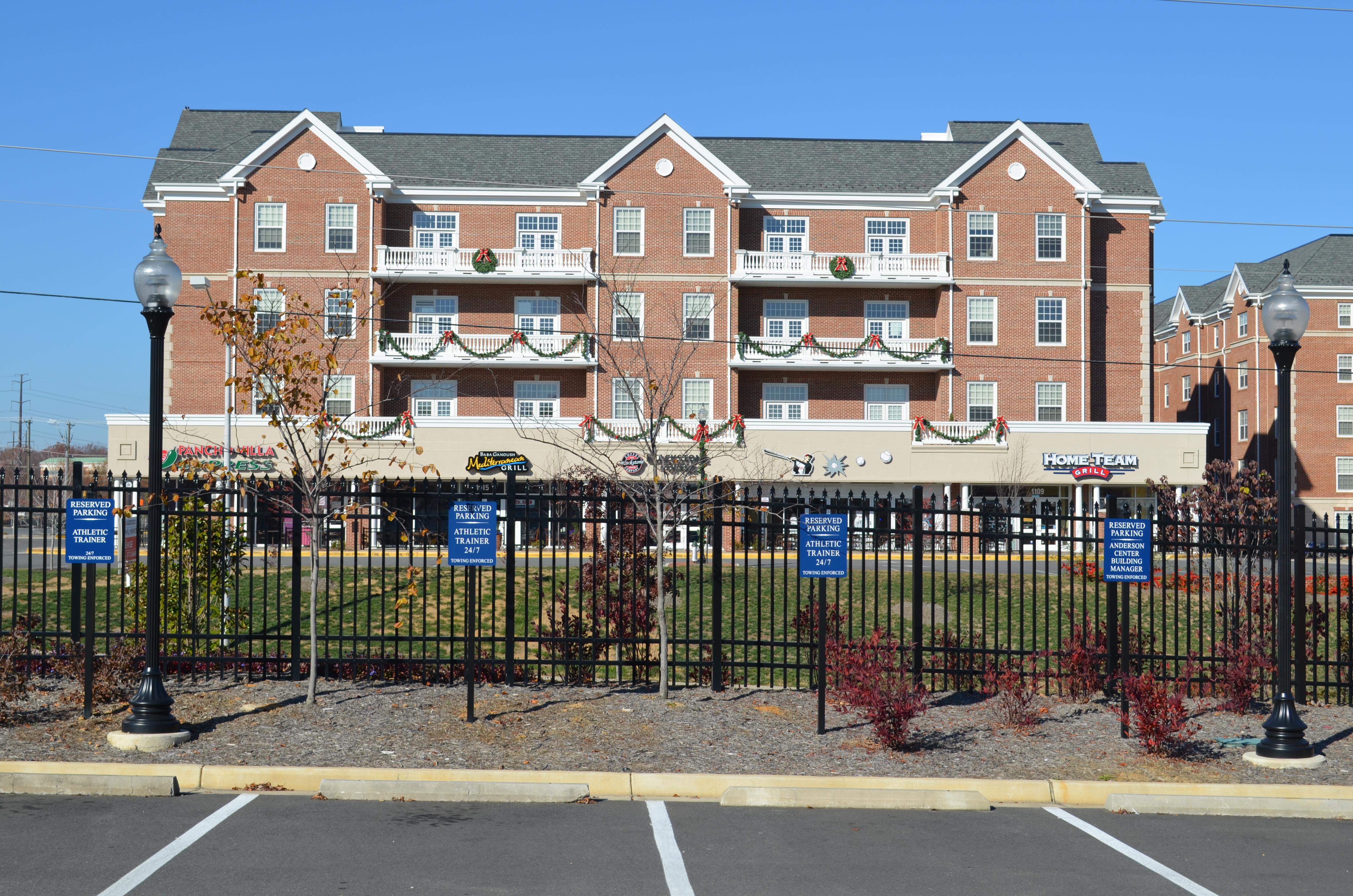
University of Mary Washington, Eagle Village, Fredericksburg, VA
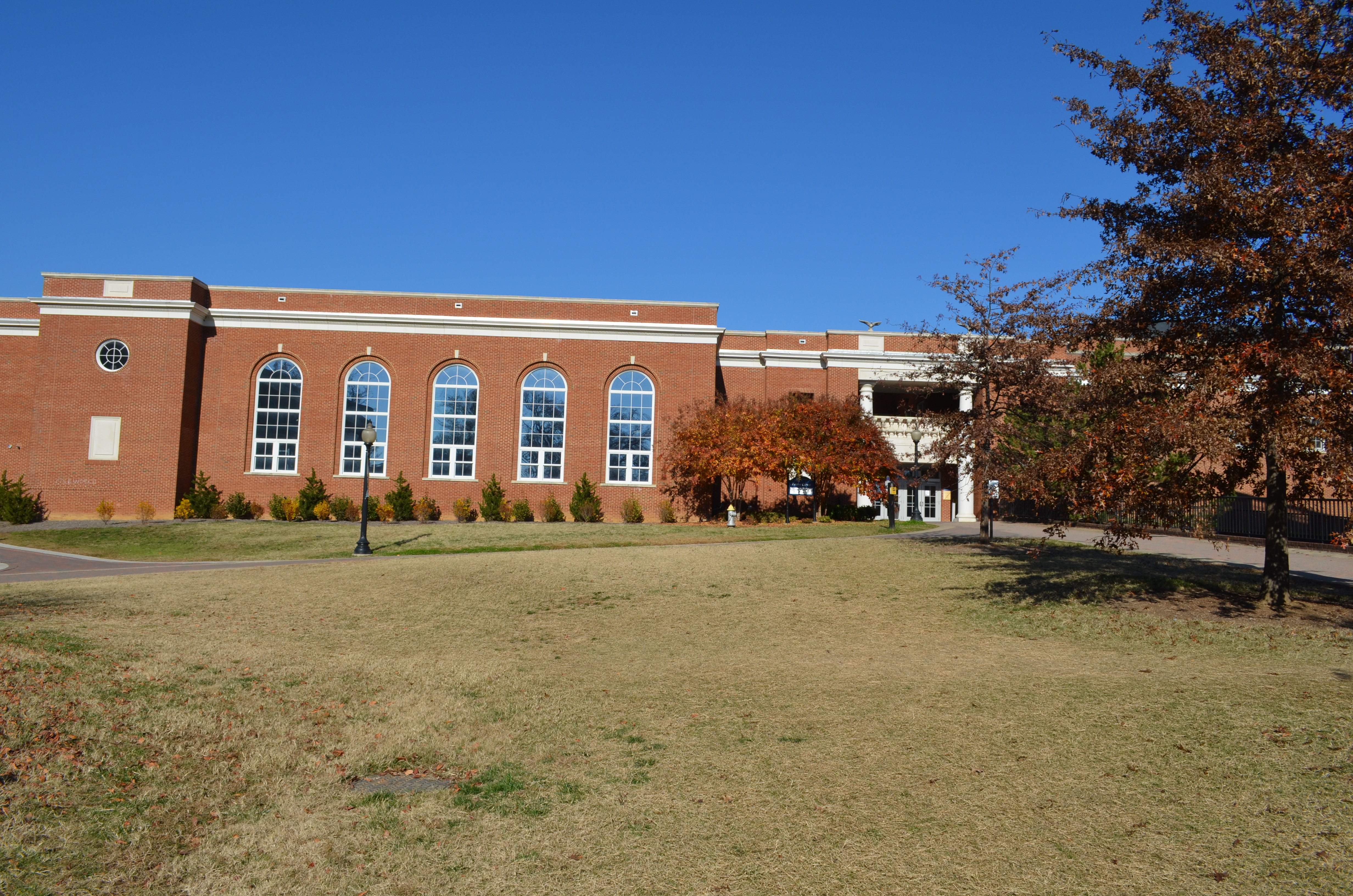
University of Mary Washington: Fitness Center
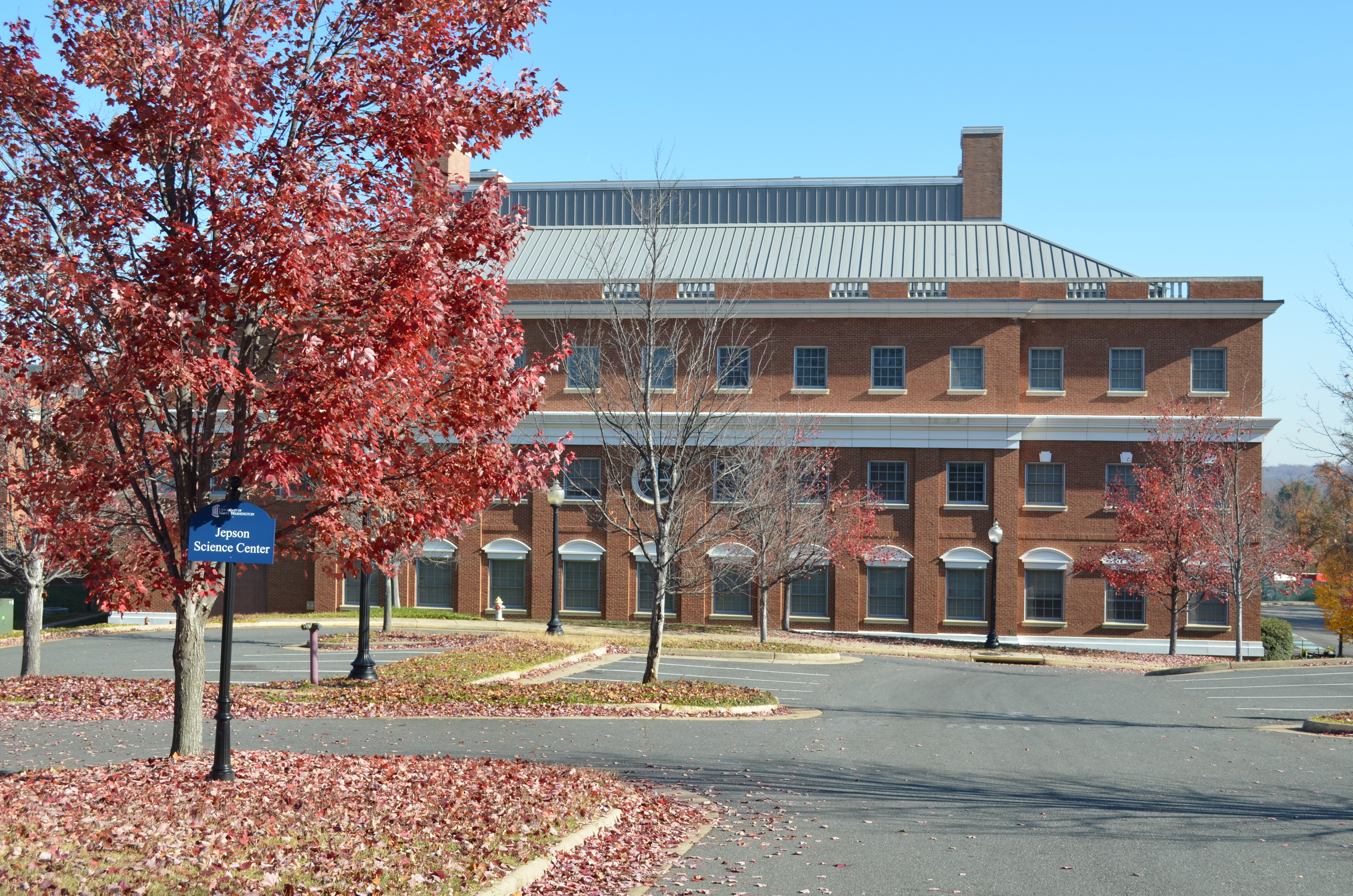
University of Mary Washington: Jepson Science Center
University of Mary Washington: Eagle Village
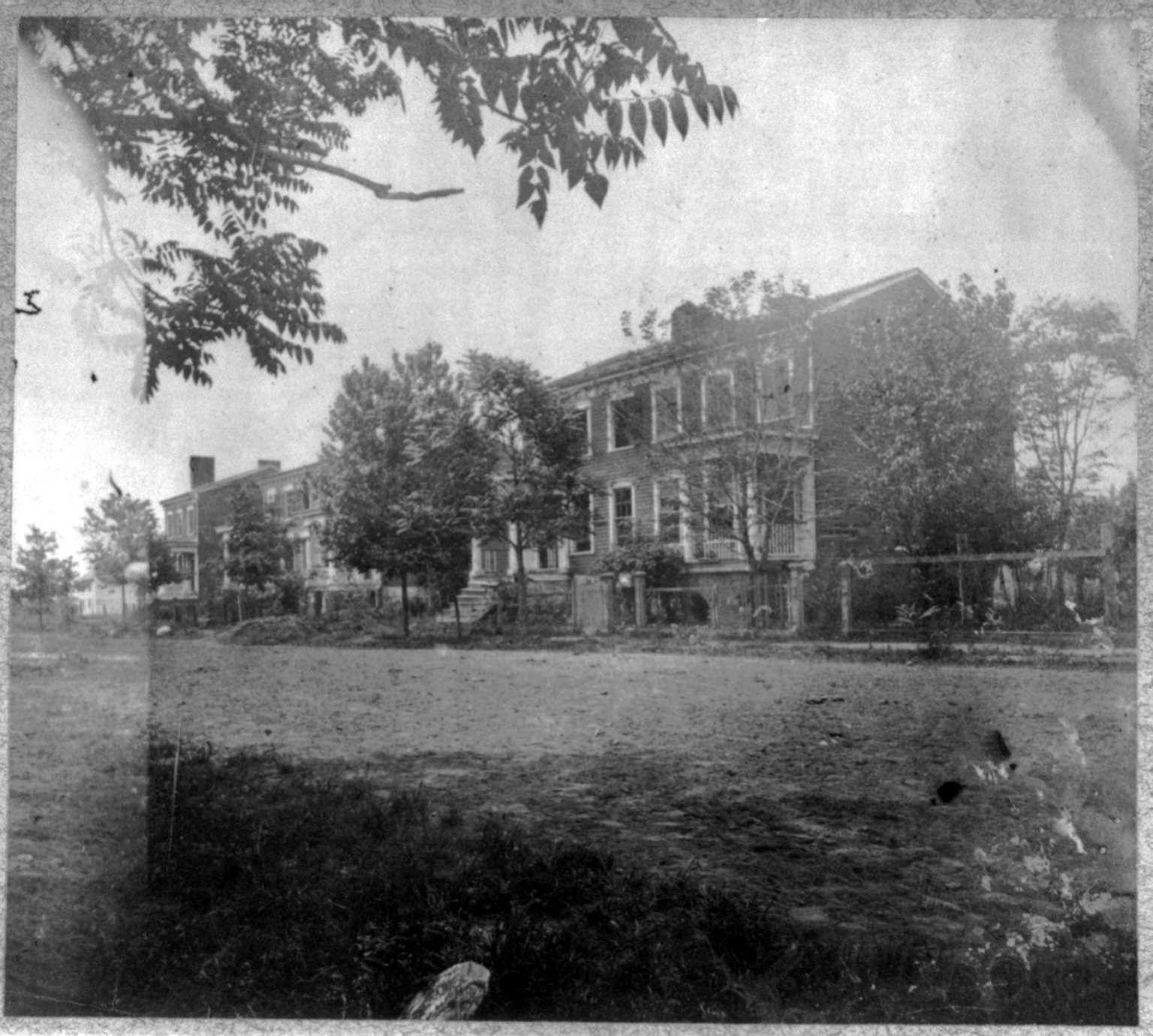
Fredericksburg, VA Houses damaged by Union bombardment December 1862
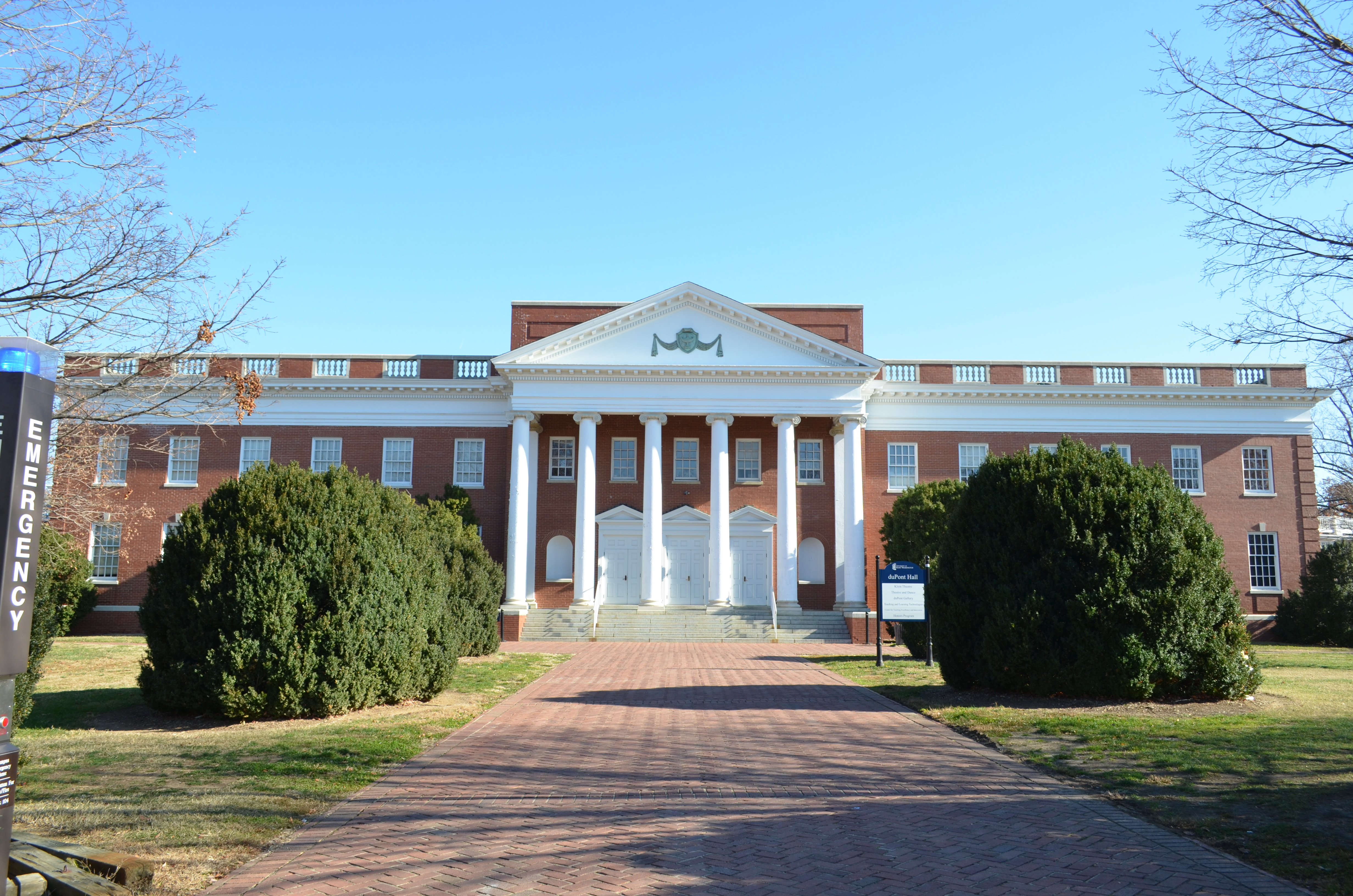
University of Mary Washington: Dupont Hall

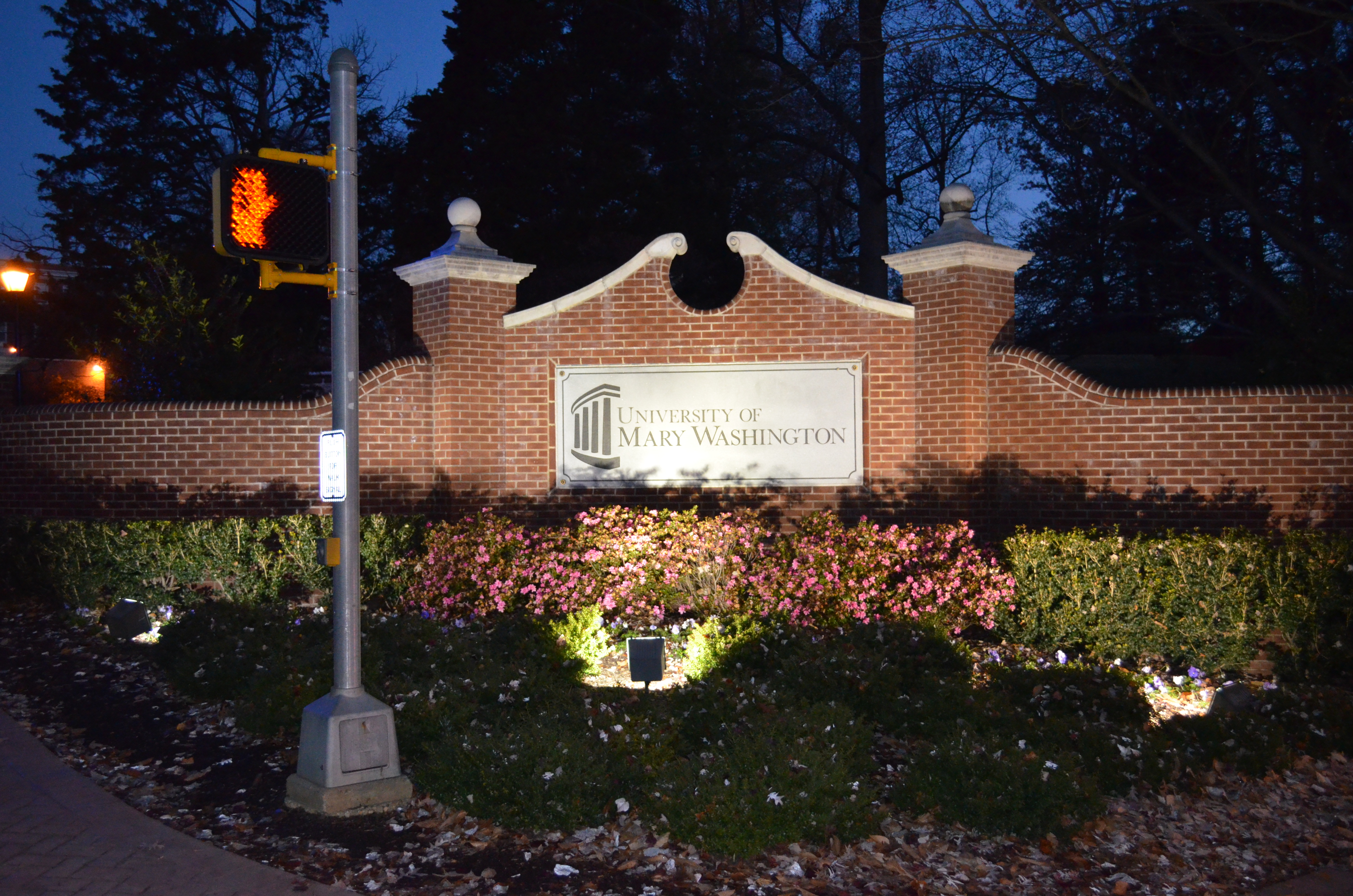
University of Mary Washington; Fredericksburg, Virginia
William Street and College Avenue, Fredericksburg, Virginia
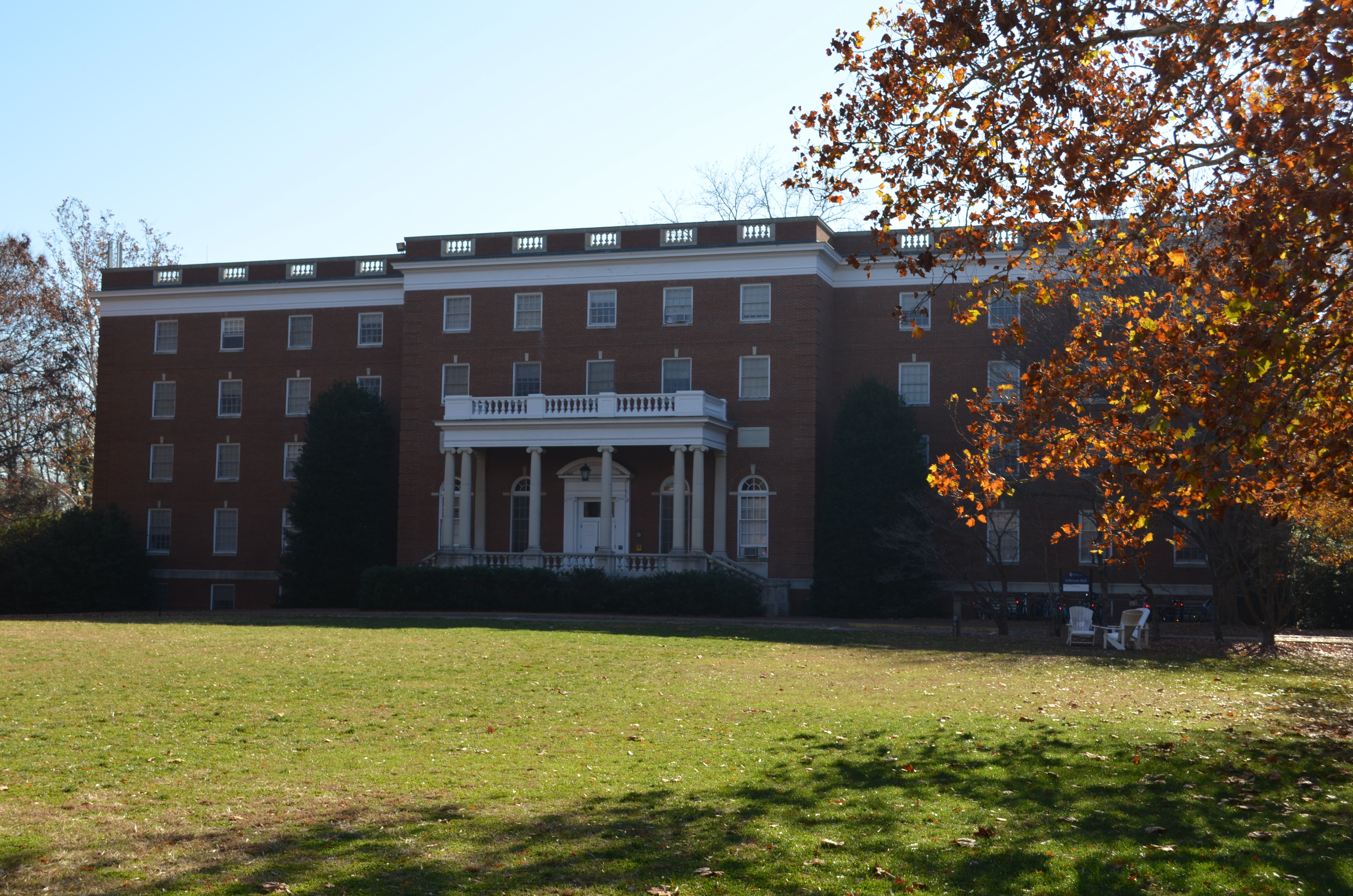
University of Mary Washington: Jefferson Hall (1966)
The University of Mary Washington: Bushnell Hall (1954)
University of Mary Washington: Alvey Hall

University of Mary Washington: The Convergence Center

Downtown View (Fredericksburg, VA)
Stormy Night 2
Belmont Pavilion
A view of the front Street artillery line #civilWar history

Evening Ride

Sundae Bloody Sundae (310/365)
View of the Rappahannock River

Cornell Street At Sunset (089/365)
Lonely Barn
Rappahannock Bridges

Pratt Park DGC 00087wm
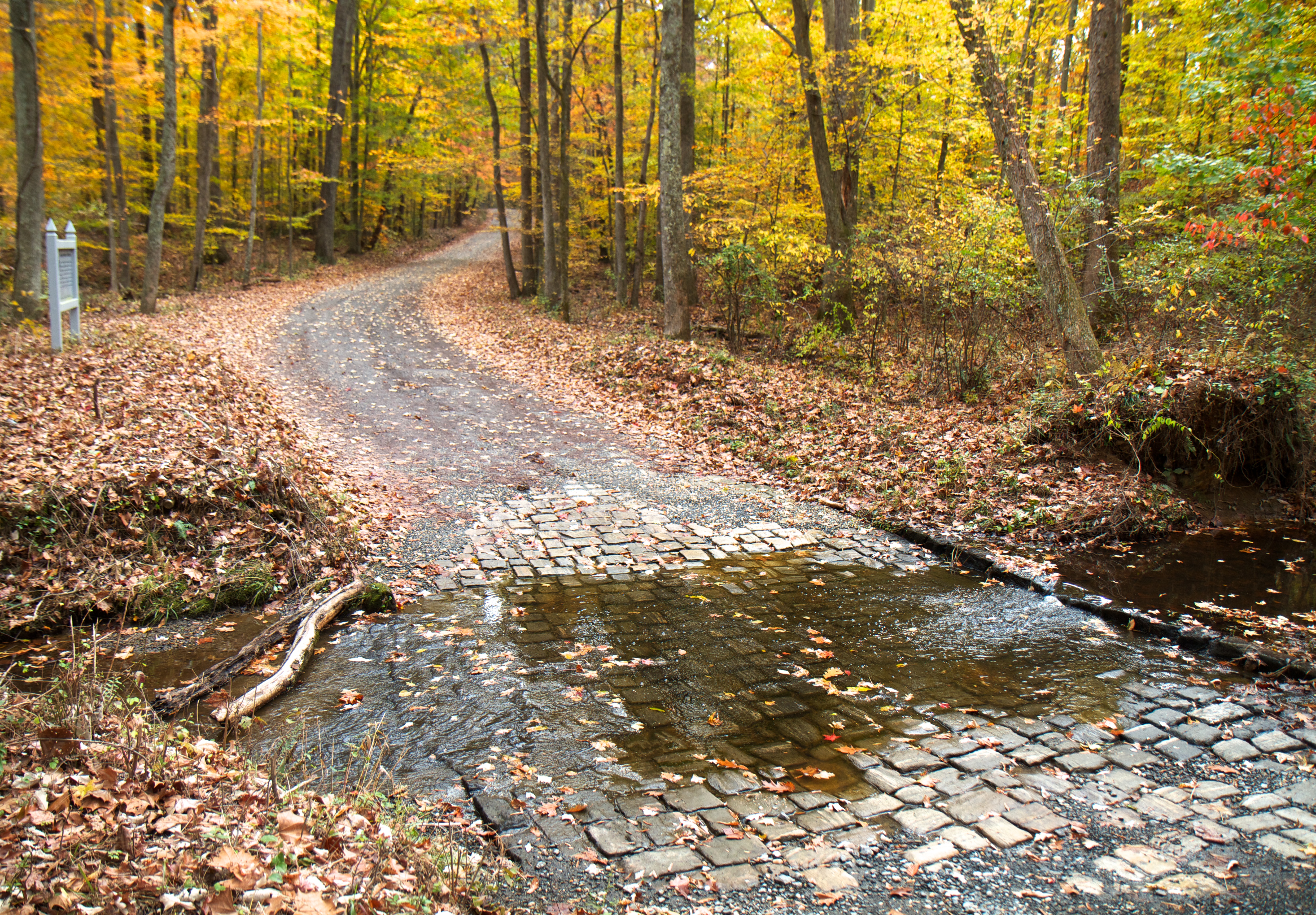
Across Poplar Ford

Roadside Flowers
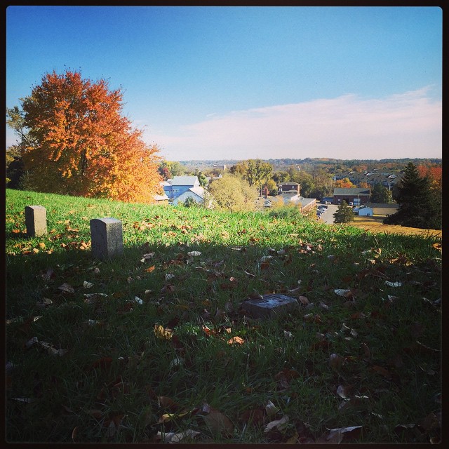
Jones Family Cemetery

End of Summer

Off The Rails (314/365)

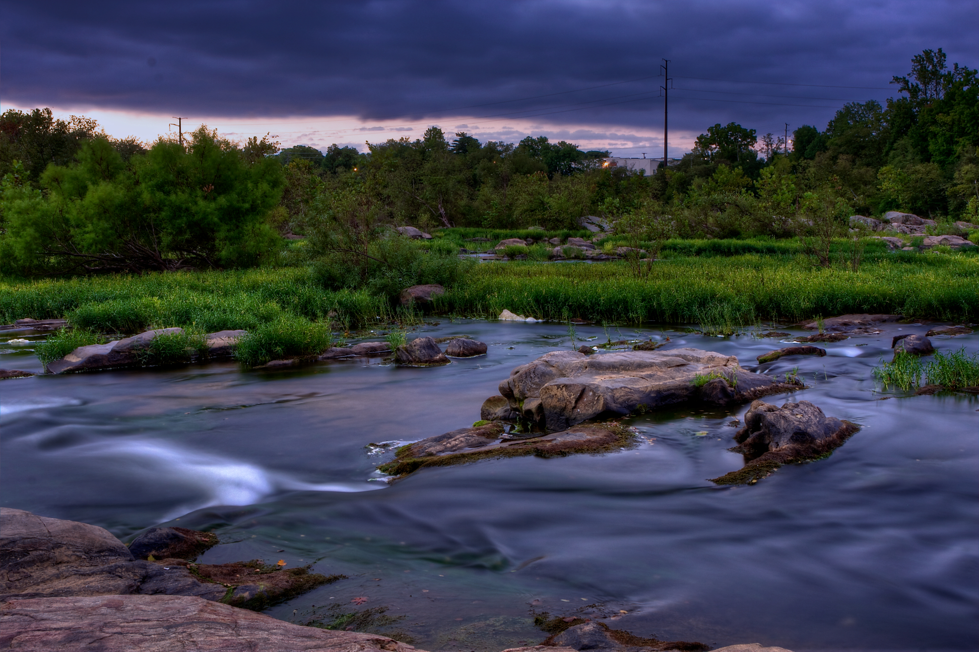
Rappahanock Storm
Sights from today's walk at Motts.

Motts Run Reservior
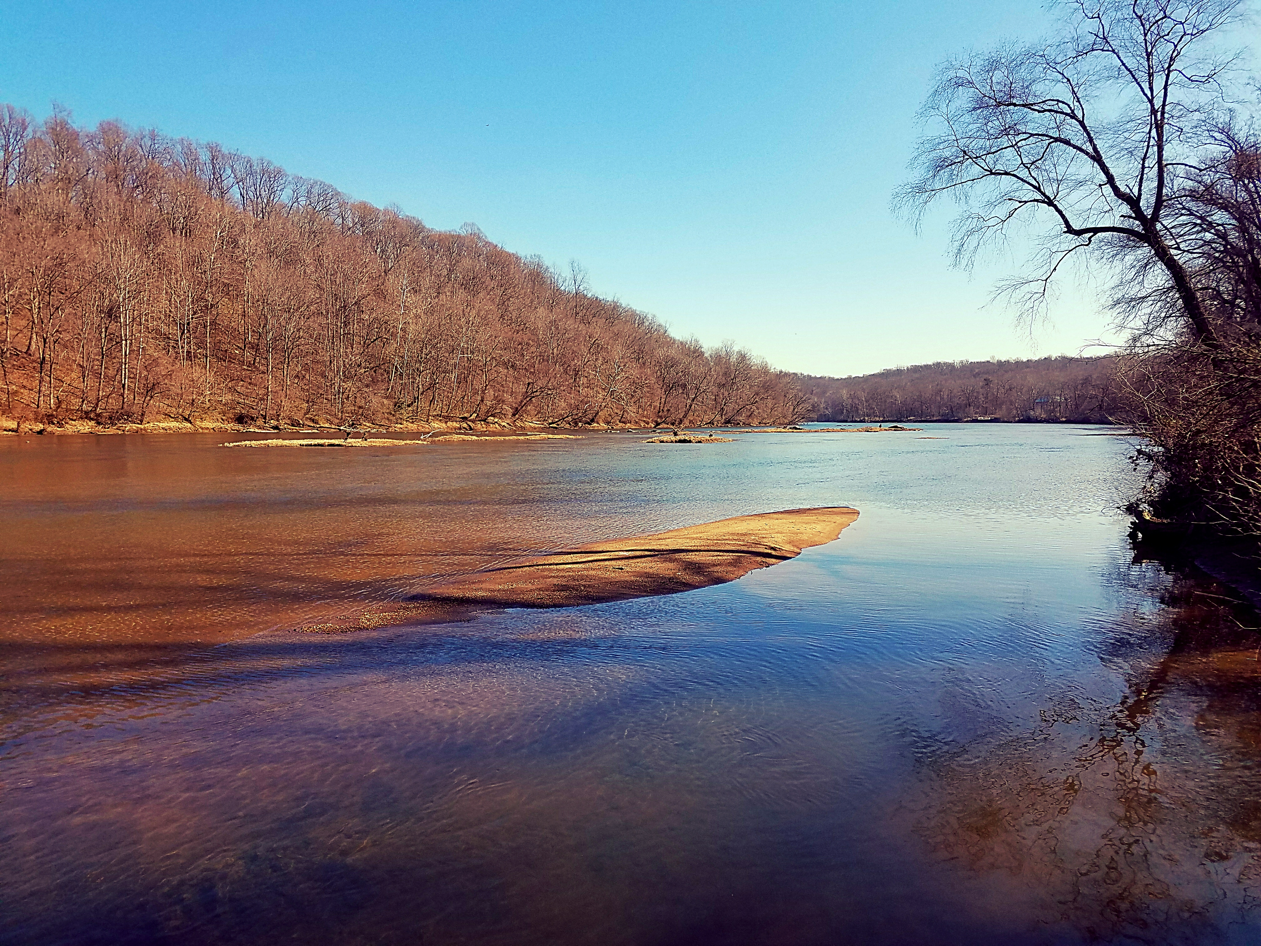
Early Morning on the Rappahannock River
A Finality Of Unsung Heroes
Above it All

Into the Distance
the old - old oak. 300+ years

LK_20131125_0021-24-sm

Bloody Angle
Rappenhannock River at Belmont
Topographic Map of Lees Command Blvd, Fredericksburg, VA, USA
Find elevation by address:

Places near Lees Command Blvd, Fredericksburg, VA, USA:
Courtland
7922 Eland Dr
6013 Hot Spring Ln
6161 Plank Rd
8005 Avocet Way
6208 Forest Grove Dr
Salem
11310 Catharpin Rd
12401 Chewning Ln
10811 7 Oaks Ct
11219 Old Leavells Rd
Spotsylvania Courthouse, VA, USA
10413 Powderhorn Dr
5608 Heritage Hills Cir
Lincoln Dr, Fredericksburg, VA, USA
Courthouse Rd, Spotsylvania Courthouse, VA, USA
11208 Boxwood Rd
202 Creek Ln
10802 Chancellorsville Dr
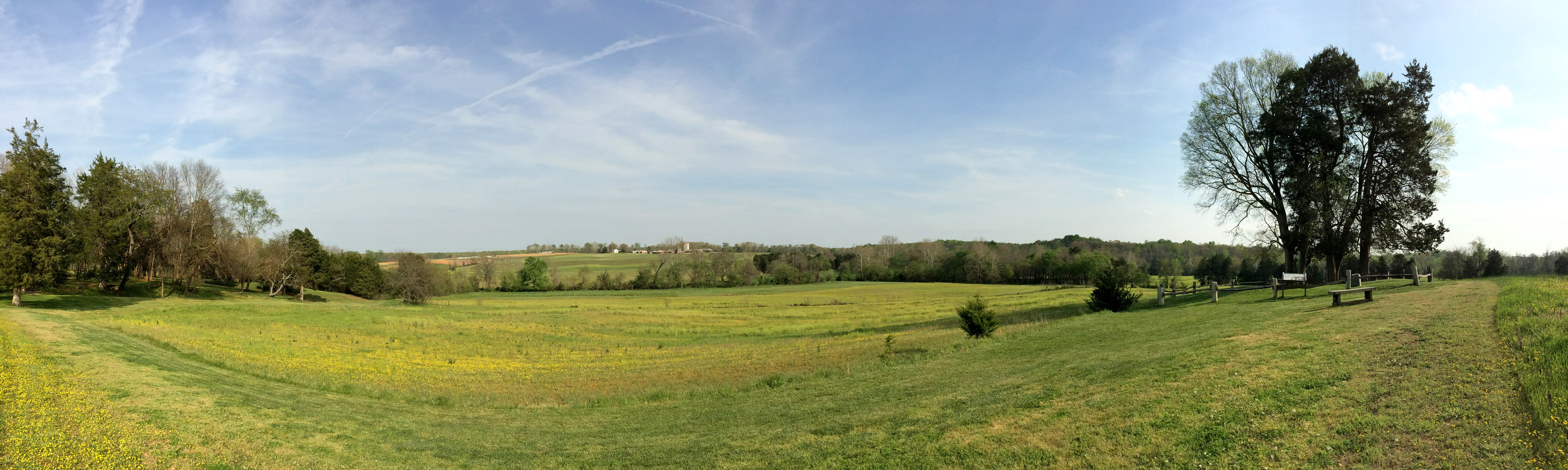
Battlefield
Recent Searches:
- Elevation of Corso Fratelli Cairoli, 35, Macerata MC, Italy
- Elevation of Tallevast Rd, Sarasota, FL, USA
- Elevation of 4th St E, Sonoma, CA, USA
- Elevation of Black Hollow Rd, Pennsdale, PA, USA
- Elevation of Oakland Ave, Williamsport, PA, USA
- Elevation of Pedrógão Grande, Portugal
- Elevation of Klee Dr, Martinsburg, WV, USA
- Elevation of Via Roma, Pieranica CR, Italy
- Elevation of Tavkvetili Mountain, Georgia
- Elevation of Hartfords Bluff Cir, Mt Pleasant, SC, USA