Elevation of 7 Oaks Ct, Spotsylvania Courthouse, VA, USA
Location: United States > Virginia > Spotsylvania County >
Longitude: -77.555738
Latitude: 38.250648
Elevation: 82m / 269feet
Barometric Pressure: 100KPa
Elevation Map:
Satellite Map:
Related Photos:

Downtown View (Fredericksburg, VA)

Closer view of new wall planter with Mums.

University of Mary Washington; Fredericksburg, Virginia

Princess Anne, Man (096/365)
Stormy Night 2

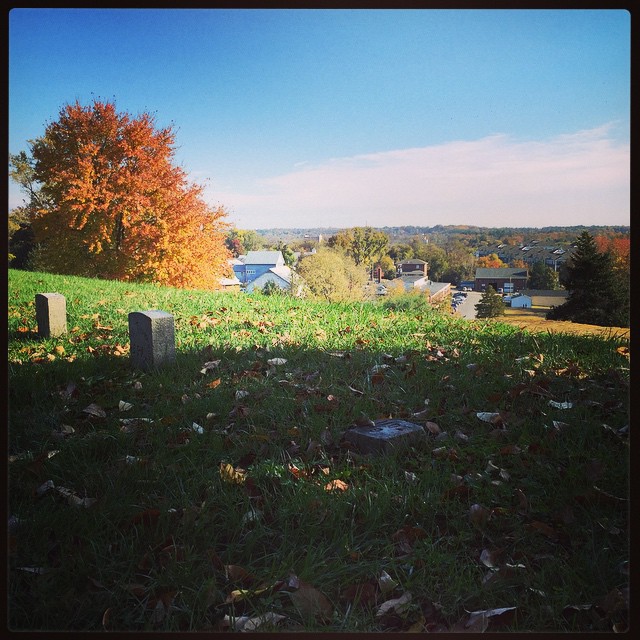
Early Morning in the Cemetery
Belmont Pavilion

Sundae Bloody Sundae (310/365)

Fall Hill, circa 1790, Fredericksburg, VA
A view of Falmouth from the garden.

Fall Hill, circa 1790, Fredericksburg, VA
Virginia Splendor
A view of Falmouth from the garden.
Across Poplar Ford

Fall Hill, circa 1790, Fredericksburg, VA
Train and Grain

Roadside Flowers
Fall in Fredericksburg
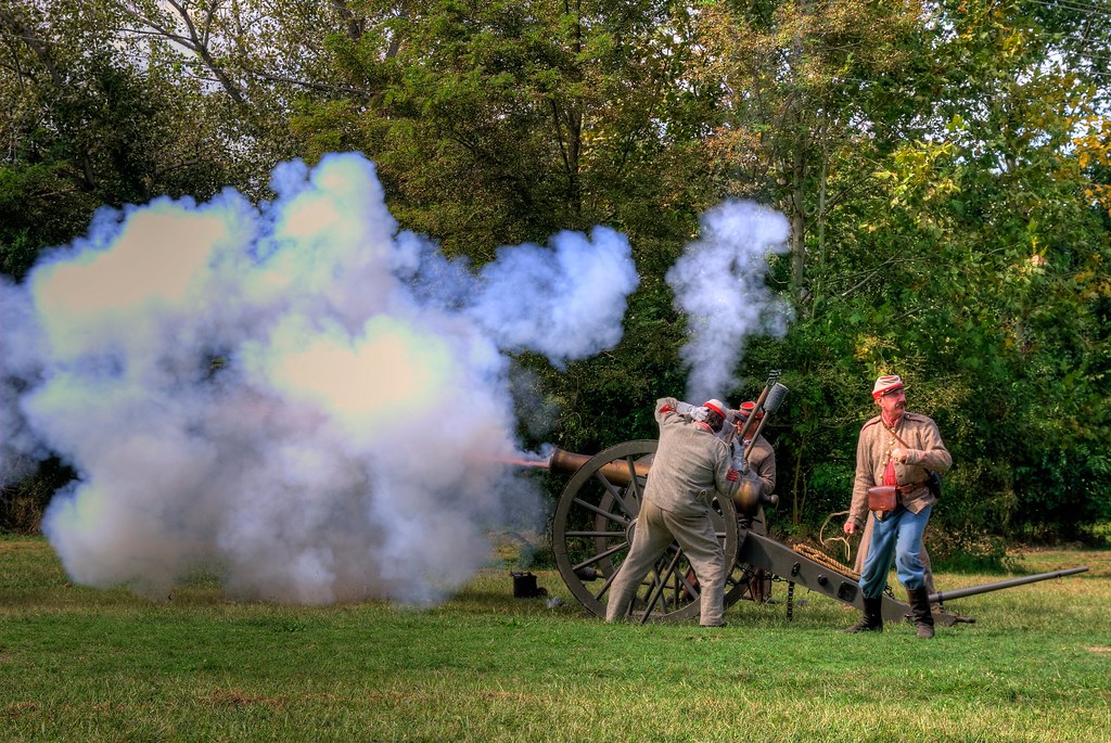
A view of the front Street artillery line #civilWar history

University of Mary Washington, Eagle Village, Fredericksburg, VA
Boom! 50,000 Views - Thanks, all!!!
Topographic Map of 7 Oaks Ct, Spotsylvania Courthouse, VA, USA
Find elevation by address:

Places near 7 Oaks Ct, Spotsylvania Courthouse, VA, USA:
10413 Powderhorn Dr
Salem
6208 Forest Grove Dr
6013 Hot Spring Ln
11219 Old Leavells Rd
Courthouse Rd, Spotsylvania Courthouse, VA, USA
202 Creek Ln
5815 Falls Grove Dr
Battlefield
200 Chinaberry Dr
6811 Plantation Forest Dr
11208 Boxwood Rd
Southpoint Parkway
12401 Chewning Ln
Lincoln Dr, Fredericksburg, VA, USA
8005 Avocet Way
7426 Lees Command Blvd
7922 Eland Dr
Spotsylvania Courthouse
5608 Heritage Hills Cir
Recent Searches:
- Elevation of Corso Fratelli Cairoli, 35, Macerata MC, Italy
- Elevation of Tallevast Rd, Sarasota, FL, USA
- Elevation of 4th St E, Sonoma, CA, USA
- Elevation of Black Hollow Rd, Pennsdale, PA, USA
- Elevation of Oakland Ave, Williamsport, PA, USA
- Elevation of Pedrógão Grande, Portugal
- Elevation of Klee Dr, Martinsburg, WV, USA
- Elevation of Via Roma, Pieranica CR, Italy
- Elevation of Tavkvetili Mountain, Georgia
- Elevation of Hartfords Bluff Cir, Mt Pleasant, SC, USA