Elevation of Leader Ave, Sacramento, CA, USA

Location: United States > California > Sacramento County > Sacramento >

Longitude: -121.34366

Latitude: 38.671357

Elevation: -10000m / -32808feet

Barometric Pressure: 295KPa

Elevation Map:

elevation map of Leader Ave, Sacramento, CA, USA

Satellite Map:

Satellite map of Leader Ave, Sacramento, CA, USA

Related Photos:

rain calmbeforethestorm yikes americanriver hunkerdown elniño sandbars photomatix crazyaboutnature powerfulstorm 9682742 winksplace singleimageprocess floodingstatewidecalifornia loomingstorm‘likelytobememorable’ loomingweather
Calm Before the Storm
landscape water nature sunrise trees river americanriver folsom california bridge bridges arch architecture reflection panorama sky colorful
Rainbow Bridge Panorama
models jenny joyce with her kush hat sweater sweeties session
JennyJoyce _1077
california blue shadow sky orange sun flower up wow bravo poppy sacramento backlit creamofthecrop cy mostfaves 255 suttersfort cotcbest2005 escholtziacalifornica cy2 challengeyou challengeyouwinner colorphotoaward diamondclassphotographer flickrdiamond shotsilove
Sutter's Fort Poppy
california wild flower 20d field canon landscape photo spring seed photograph poppy poppies wildflower lupine brodiaea vetch naturewatcher explorer312 familygetty
Spring Wildflowers 0026
church country rural storm sky religion architecture hdr building landscape christian christianity old chapel historic summer travel scenic historical weather worship white clouds countryside nature dramatic steeple scenery tower cross holy faith small green cloud wood scene religious house stormy history jesus thunderstorm view danger dark saskatchewan beautiful spiritual blue catholic rocklin placer county california northern
Winter At The Old Church 5621
roseville california unitedstatesofamerica granitebay aerialview aerial dji viewfromthetop phantom4 dronephotography elevatedcamera fall autumn
Roseville & Granite Bay, CA
model maya mizzmayhem hall showing moves sweater sweeties session
Maya-Mizz-Mayhem-Hall_0888
models jenny joyce plus kiley sweater sweeties session
Jenny-Joyce-Kiley_0838
one duck row sunset
Duck_No-Row_1148
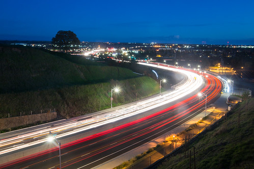
underpass subway infrastructure sacramento trafficsign railroadcrossing hwy160 highway160 oldus40 usroute40 oldus99 lowclearancesign usroute99e casr160
13 FT 10 IN
california sacramento flowers cactus red beauty dramatic
Cactus Flower
california bridge sunrise dawn railtrack 18200f3556gvr infinitexposure
Dawn View from Crooked Bridge
Hazel Ave Corridor
county blue bird heron canon photo stream native photograph ravine egret placer miners placercounty roseville wildllife vetch 40d explorer123 familygetty
Blue Heron In Vetch 0893
california 50mm model nikon bra grace jeans beautifulwomen sacramento alienbee tunk 2011 strobist d700 ericcourtney naomimay thinktunkproductions
Naomikens - Grace under Pressure
bailey yellowlab labradorretriver roseville placercounty california iphone6s iphoneography flickrfriday lowangle squareformat
Bailey....floor view!
2017 2017084 365 path trees sacramento
the road not taken
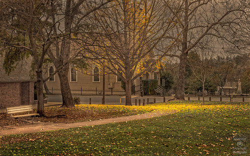
park fall sidewalk path autumn leaves trees tree landscape
Granite Park in Autumn
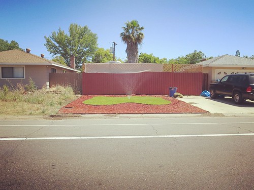
sacramentocounty ardenarcade lawnwatering landscaping
Suburban Pastoral
americanriver americanriverparkway
6086 evening reflections
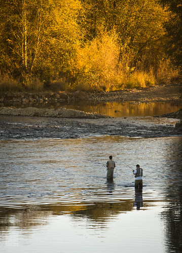
autumn sunset sunlight water reflections river fishing salmon flyfishing ripples spawning waders americanriver explored arbt
wading...
acullen fallcolors landscape
Up River
granitequarry stone quarrystone rocklin californiaquarry granite rocklincalifornia reflect rock grey natural graniterock quarry water reflectioninwater nature reflectivesurface reflection park lake city town eosrp landscape fountain placer county california
Quarry Lake Rocklin 0132
california dji phantom4pro roseville airialview dreyerpicturescom drone fall unitedstates us aerialview viewfromthetop phantom4 dronephotography elevatedcamera dronekoning drones dronefly dronelife droneworld dronegear dronespace droneshot dronesetc aerial aerialhoop aerialarts aerialphotography aeriallife aerialaesthetics airpixels droneheroes fromwhereidrone dronesdaily djiglobal skypixel skypixelz skysupply dronorama droneglobe dronepixel droneoftheday dronestagram unrealdrones dronewise droneaddicts
Fall 2017
365 2015 3652015imstillstanding treasurehunttheme1
365/003 - twin trees, January
california park county wood morning travel blue autumn trees light sunset red sky orange sun mist plant color tree green fall nature water colors beautiful beauty leaves yellow rural forest canon season landscape outdoors golden leaf log oak woods scenery colorful stream natural bright outdoor seasonal scenic sunny scene foliage fallen 7d land environment rays organic tranquil placer sunray raysoflight rocklin f4l 24105mm canon7d
Streams Of Light On A Fall Day 1084
dji nature phantom4pro airialview dreyerpicturescom drone landscape river water folsom california us
American River - Folsom, CA
california park water beauty river landscape rocks outdoor stones pebbles riverbed sacramento riverbank americanriver ancilhoffman
Sacramento. Ancil Hoffman Park. American River
drone dji mavic mavicair djimavic aerial sky water bridge road reflection reflections landscape nature architecture trees colorful rocks rocky river lake folsom california
Lake Natoma Crossing - Aerial
bridge bridges lights light street crossing river reflection water longexposure reflections sky morning landscape nature fineart fineartphotography wide wideangle pentax
Lake Natoma Crossing
sky cloud up clouds ir infrared 720nm
class 2 argon storm
california morning trees sunlight sunshine fog sunrise landscape olympus explore sunburst sacramento e3 magical sacramentocounty 1000views californialandscape zd effieyeaw 1260mm olympuse3
Foggy Mornings