Elevation of Le Cuchon, La Motte-en-Champsaur, France
Location: France > Provence-alpes-côte D'azur > Hautes-alpes > La Motte-en-champsaur >
Longitude: 6.11468
Latitude: 44.727944
Elevation: 2283m / 7490feet
Barometric Pressure: 77KPa
Elevation Map:
Satellite Map:
Related Photos:

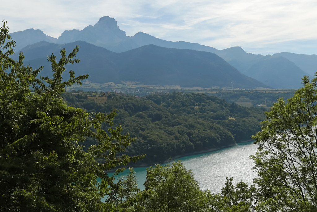
Peaking through the clouds.
Route Napoléon [N85] - Corps (France)

530. Dawn
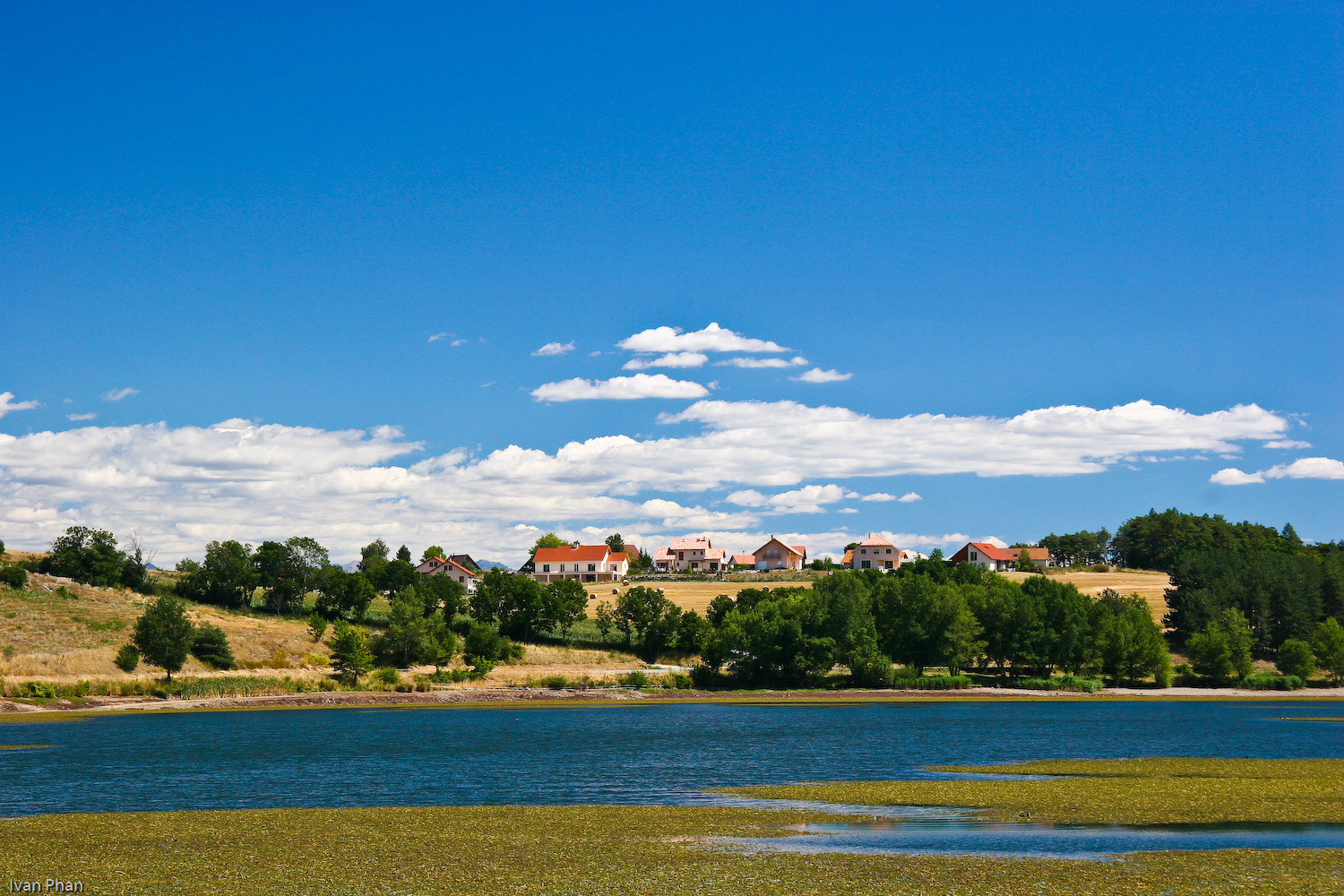
Red house, Blue lake
Topographic Map of Le Cuchon, La Motte-en-Champsaur, France
Find elevation by address:

Places near Le Cuchon, La Motte-en-Champsaur, France:
Pic Queyrel
Le Chaperon
La Motte-en-champsaur
Le Banc Du Peyron
Cime Des Moutières
Pic De Colle Blanche
Pic De Pian
Saint-maurice-en-valgodemard
Aiguille De Midi Des Andrieux
Saint-jacques-en-valgodemard
Pic Pétarel
Laye
Grun De Saint Maurice
Pey De Saint Maurice
Tête Du Clotonnet
La Chapelle-en-valgaudémar
Pic Turbat
Pic Des Souffles - Sommet Ouest
Le Laton
Champoléon
Recent Searches:
- Elevation of Corso Fratelli Cairoli, 35, Macerata MC, Italy
- Elevation of Tallevast Rd, Sarasota, FL, USA
- Elevation of 4th St E, Sonoma, CA, USA
- Elevation of Black Hollow Rd, Pennsdale, PA, USA
- Elevation of Oakland Ave, Williamsport, PA, USA
- Elevation of Pedrógão Grande, Portugal
- Elevation of Klee Dr, Martinsburg, WV, USA
- Elevation of Via Roma, Pieranica CR, Italy
- Elevation of Tavkvetili Mountain, Georgia
- Elevation of Hartfords Bluff Cir, Mt Pleasant, SC, USA