Elevation of Grun de Saint Maurice, Grun de St Maurice, Saint-Maurice-en-Valgodemard, France
Location: France > Provence-alpes-côte D'azur > Hautes-alpes > Saint-maurice-en-valgodemard >
Longitude: 6.0572222
Latitude: 44.8161111
Elevation: 2736m / 8976feet
Barometric Pressure: 72KPa
Elevation Map:
Satellite Map:
Related Photos:
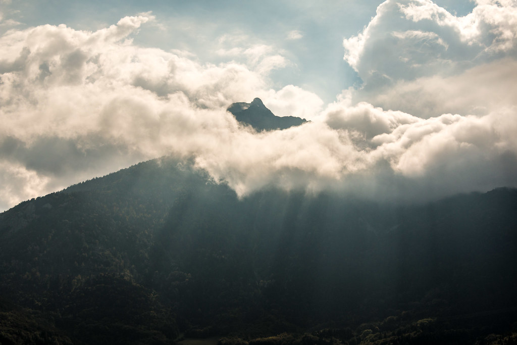
Peaking through the clouds.
Route Napoléon [N85] - Corps (France)

Route Napoléon [N85] - Les Côtes-des-Corps (France)

Day 4 (f): Refuge de la Muzelle
Topographic Map of Grun de Saint Maurice, Grun de St Maurice, Saint-Maurice-en-Valgodemard, France
Find elevation by address:

Places near Grun de Saint Maurice, Grun de St Maurice, Saint-Maurice-en-Valgodemard, France:
Pey De Saint Maurice
Saint-maurice-en-valgodemard
Saint-jacques-en-valgodemard
Le Laton
Tête Du Clotonnet
Le Banc Du Peyron
Le Chaperon
Sommet Des Rouchoux
La Salette-fallavaux
Pic De Valsenestre
Croix De Rougny
Aspres-lès-corps
Valjouffrey
La Motte-en-champsaur
Aiguille Des Marmes
Sanctuaire De Notre-dame La Salette
Sanctuaire De La Salette
Pic Des Souffles - Sommet Ouest
Cime Des Moutières
Gargas
Recent Searches:
- Elevation of Corso Fratelli Cairoli, 35, Macerata MC, Italy
- Elevation of Tallevast Rd, Sarasota, FL, USA
- Elevation of 4th St E, Sonoma, CA, USA
- Elevation of Black Hollow Rd, Pennsdale, PA, USA
- Elevation of Oakland Ave, Williamsport, PA, USA
- Elevation of Pedrógão Grande, Portugal
- Elevation of Klee Dr, Martinsburg, WV, USA
- Elevation of Via Roma, Pieranica CR, Italy
- Elevation of Tavkvetili Mountain, Georgia
- Elevation of Hartfords Bluff Cir, Mt Pleasant, SC, USA