Elevation of Laurel Ln, Warsaw, VA, USA
Location: United States > Virginia > Richmond County > Warsaw >
Longitude: -76.715775
Latitude: 37.9439311
Elevation: 32m / 105feet
Barometric Pressure: 101KPa
Elevation Map:
Satellite Map:
Related Photos:

Orangery at Mount Airy - the last remaining wall of the earliest Orangery in North America
Outside Tappahannock
2009JEK0220623.jpg

Tappahannock Methodist Church
2009JEK0220620.jpg
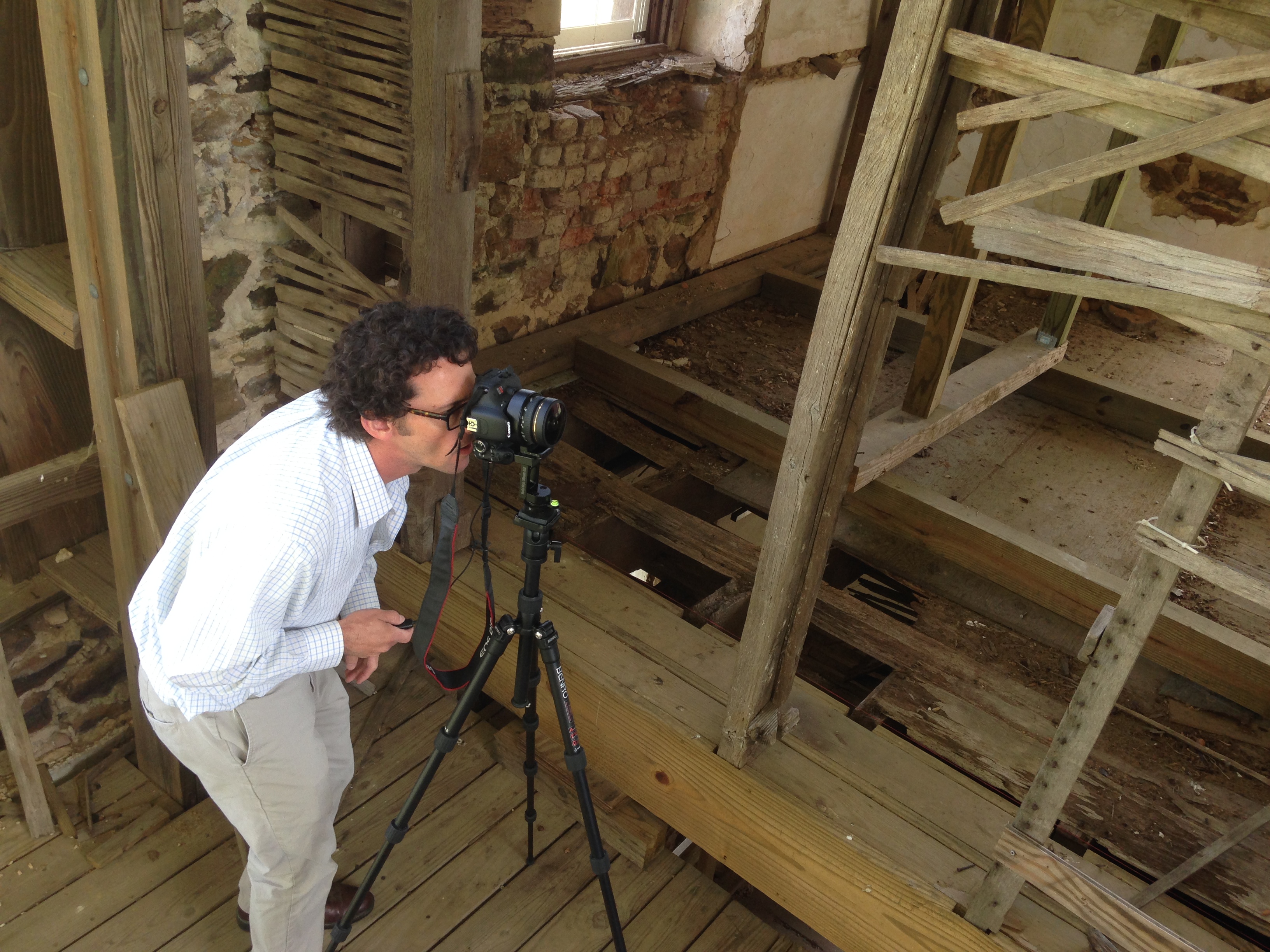
Capturing Google Street View Panoramas at Menokin

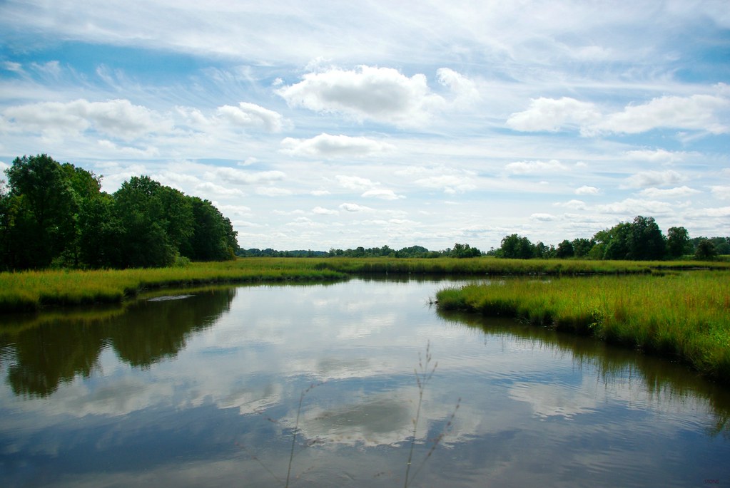
Rappahannock River Valley NWR
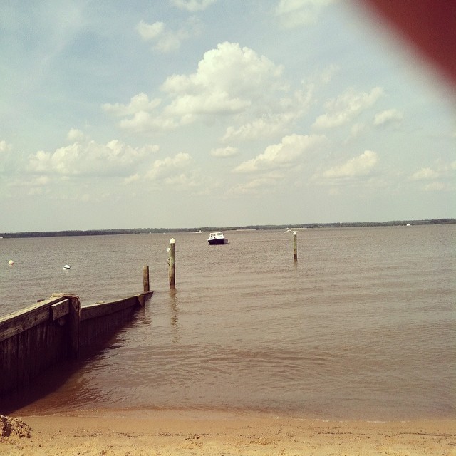
FINALLY MADE IT TO THE BEACH!!!! Better late than never!
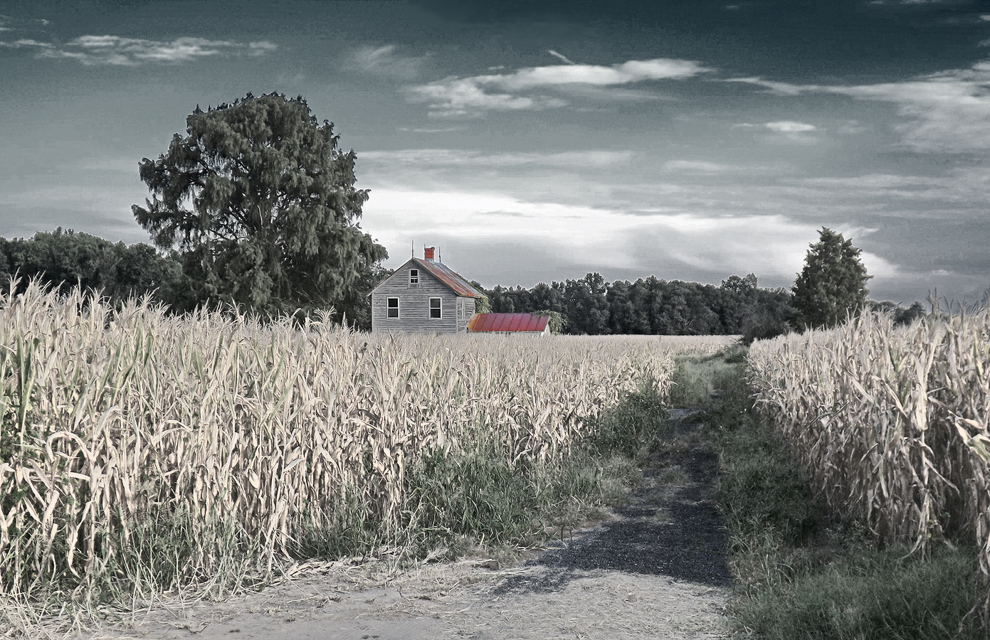
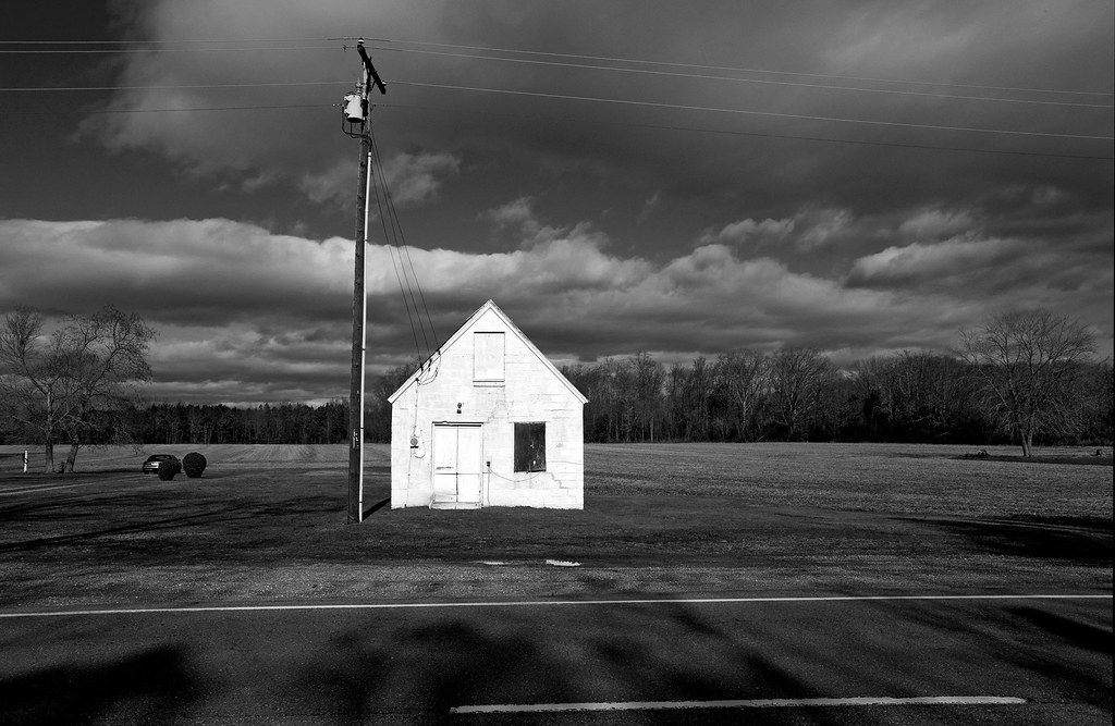
Abandoned to the Corn
The Marsh
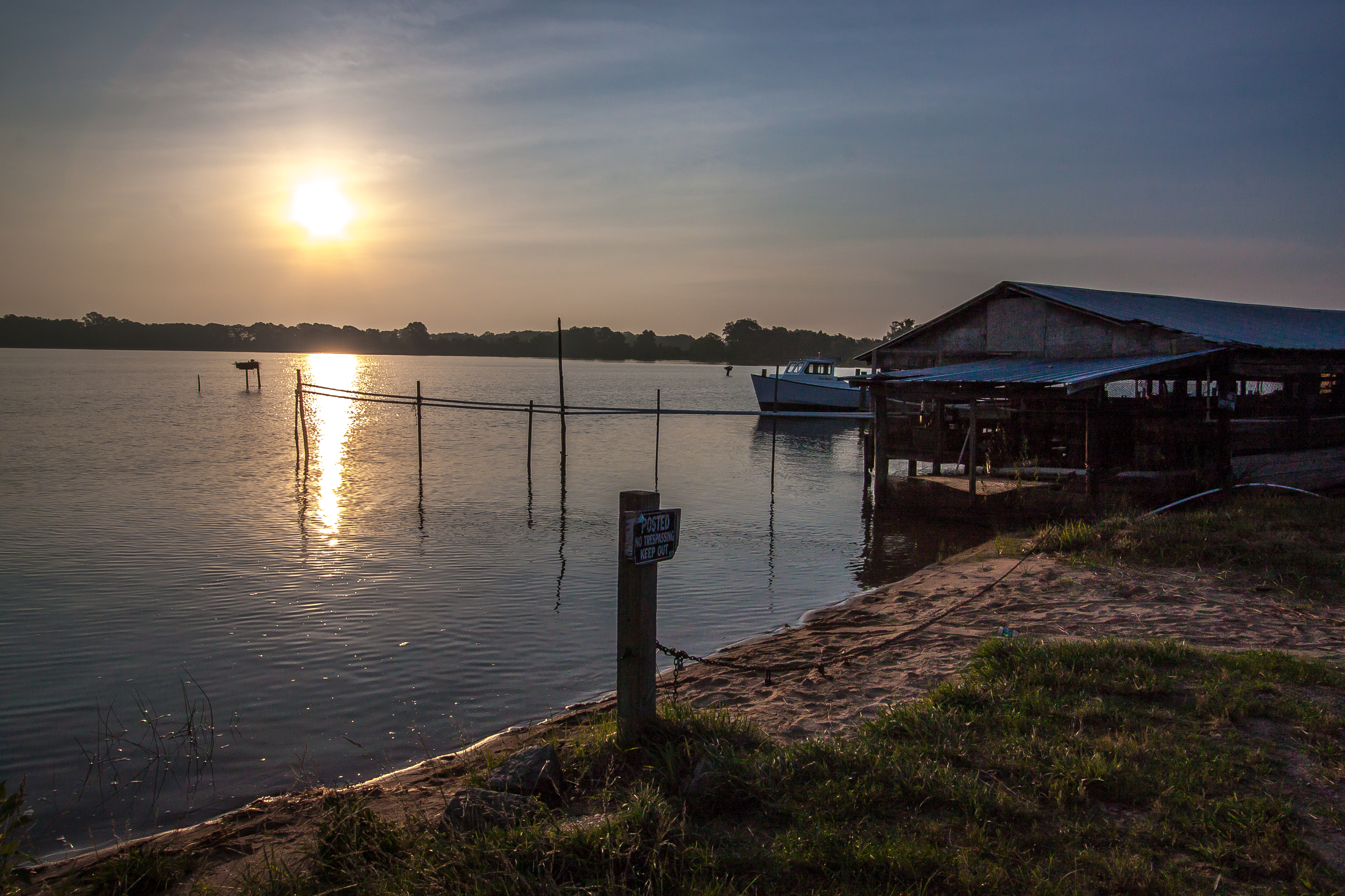
Sunrise Over Cat Point Creek

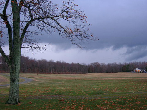
Under a Cloud-Gray Sky

Rappahannock River Valley NWR

Rappahannock River Valley NWR

Piscataway Creek
The Marsh
Thomas J Downing Bridge

Piscataway Creek

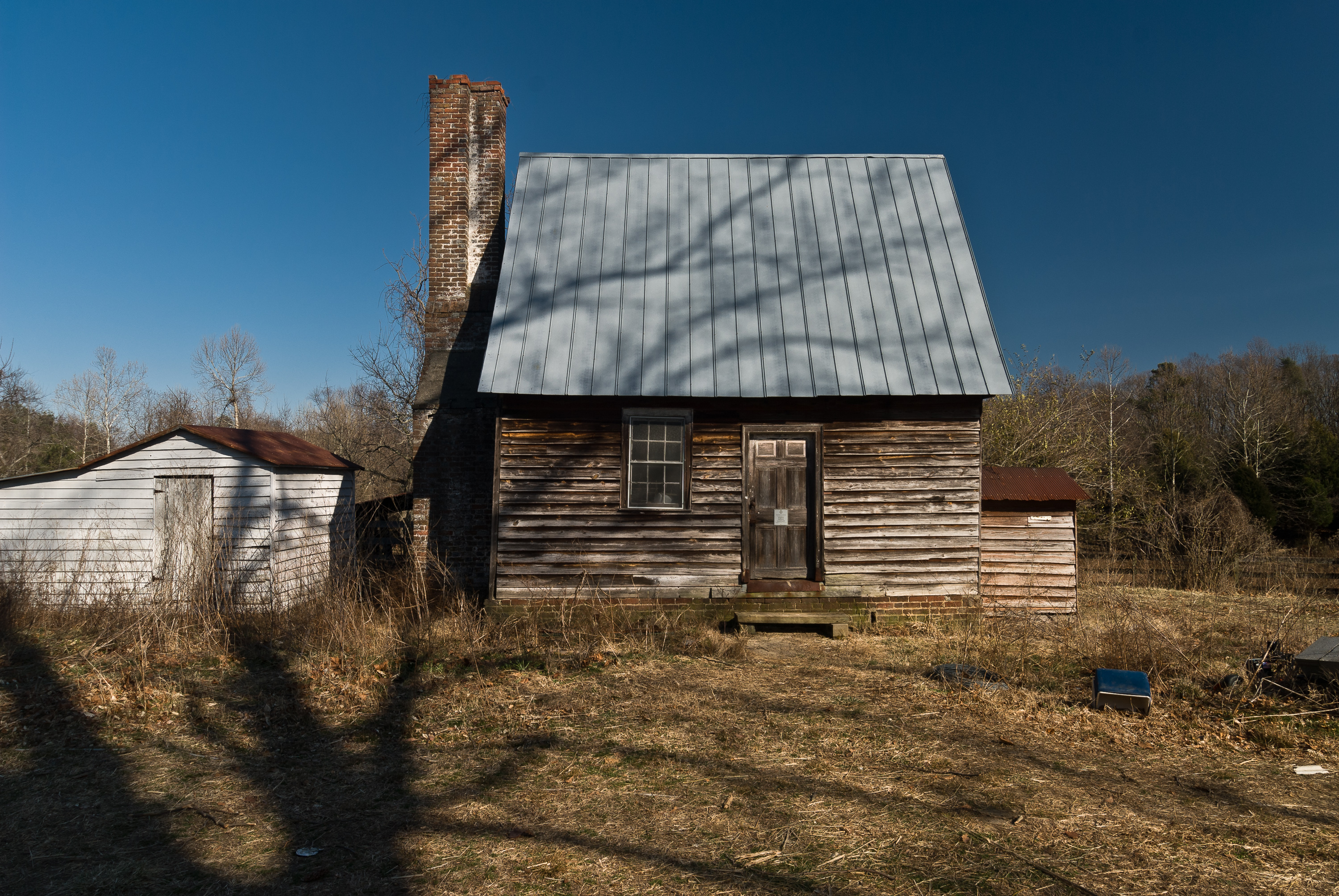
Midway Farms in Richmond County, Va.

Rappahannock River Valley NWR

Rappahannock River Valley NWR
Grain Silos

Silos 01
"Ripple"
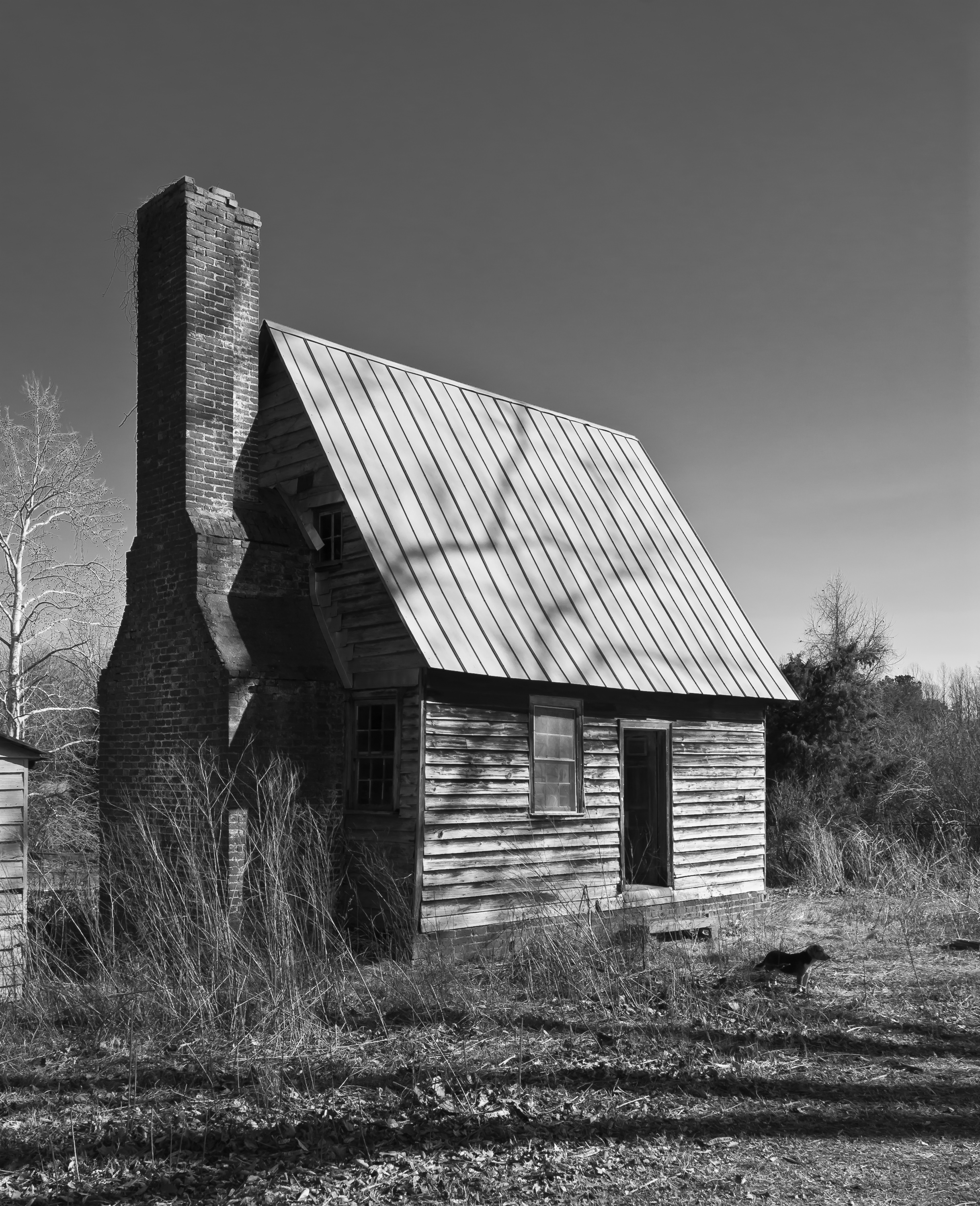
Lie Down in Darkness.

DSCN5727.JPG
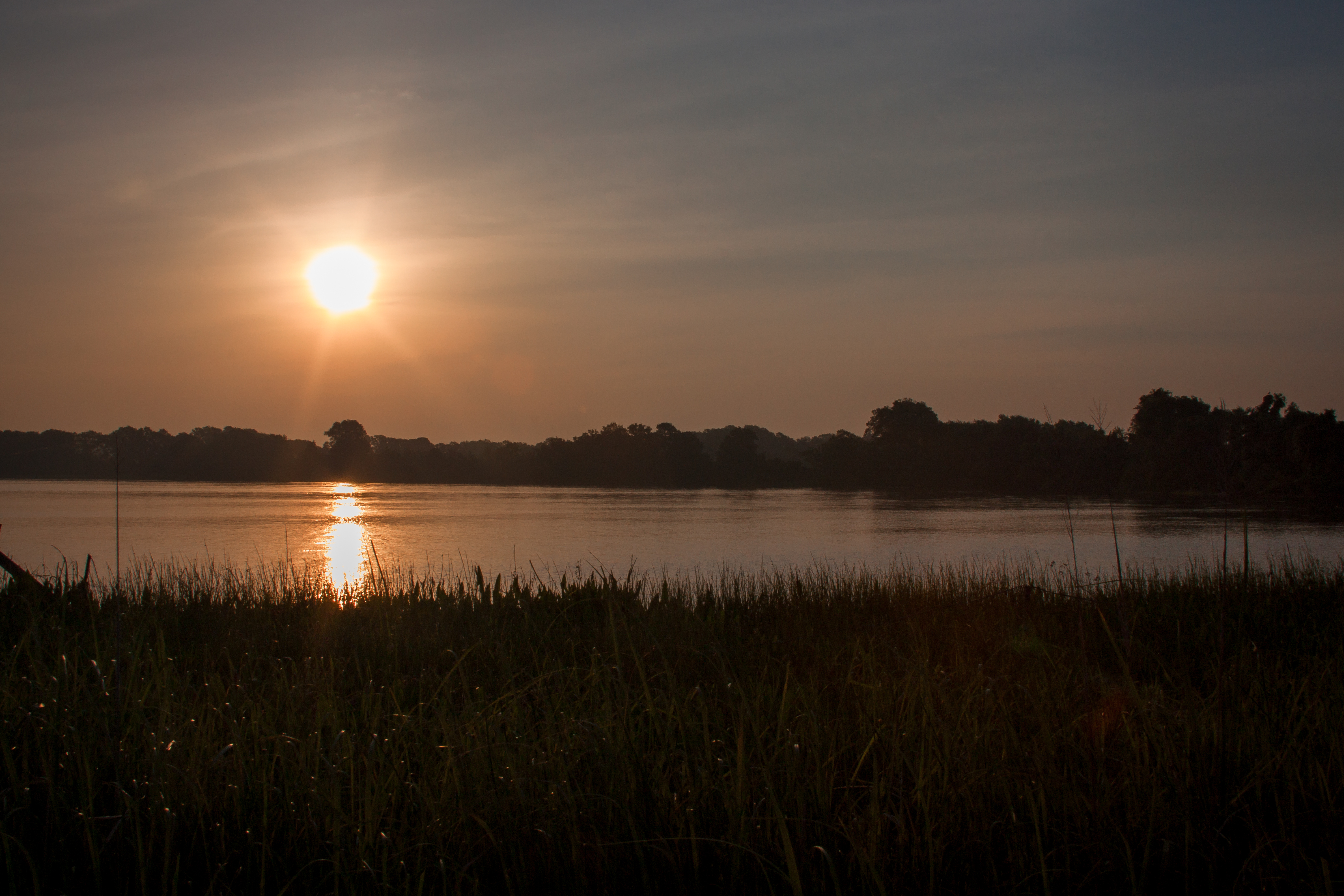
Sunrise Over Cat Point Creek
Topographic Map of Laurel Ln, Warsaw, VA, USA
Find elevation by address:

Places near Laurel Ln, Warsaw, VA, USA:
18 Pocahontas Dr, Warsaw, VA, USA
2, VA, USA
Richmond County
History Land Hwy, Warsaw, VA, USA
Main St, Warsaw, VA, USA
Warsaw
Foneswood, VA, USA
History Land Hwy, Warsaw, VA, USA
116 Estate Ln
3, VA, USA
431 Forest Rd
River Pl, Dunnsville, VA, USA
Island Farm Rd, Tappahannock, VA, USA
556 Riverdale Rd
South
South
South
South
South
South
Recent Searches:
- Elevation of Corso Fratelli Cairoli, 35, Macerata MC, Italy
- Elevation of Tallevast Rd, Sarasota, FL, USA
- Elevation of 4th St E, Sonoma, CA, USA
- Elevation of Black Hollow Rd, Pennsdale, PA, USA
- Elevation of Oakland Ave, Williamsport, PA, USA
- Elevation of Pedrógão Grande, Portugal
- Elevation of Klee Dr, Martinsburg, WV, USA
- Elevation of Via Roma, Pieranica CR, Italy
- Elevation of Tavkvetili Mountain, Georgia
- Elevation of Hartfords Bluff Cir, Mt Pleasant, SC, USA