Elevation of Lau Jaime DDS, Laurel St, San Carlos, CA, USA
Location: United States > California > San Mateo County > San Carlos >
Longitude: -122.24820
Latitude: 37.4954323
Elevation: 7m / 23feet
Barometric Pressure: 101KPa
Elevation Map:
Satellite Map:
Related Photos:
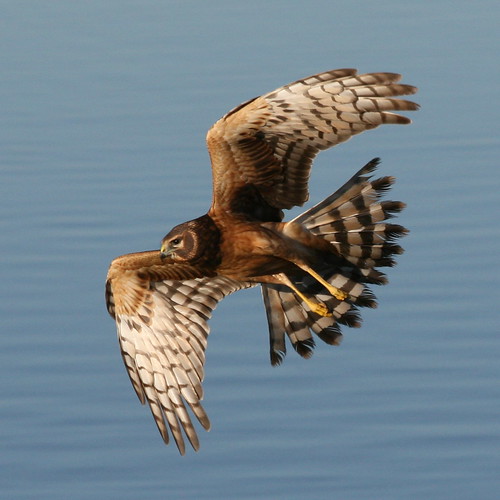
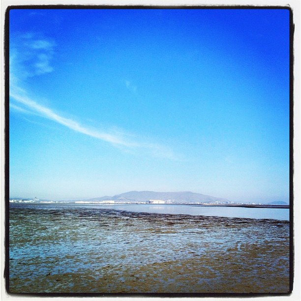
Northern Harrier-IMG_1671-MV baylands-Crop

The Feather Trees of Planet Skeggs

On Their Way Home
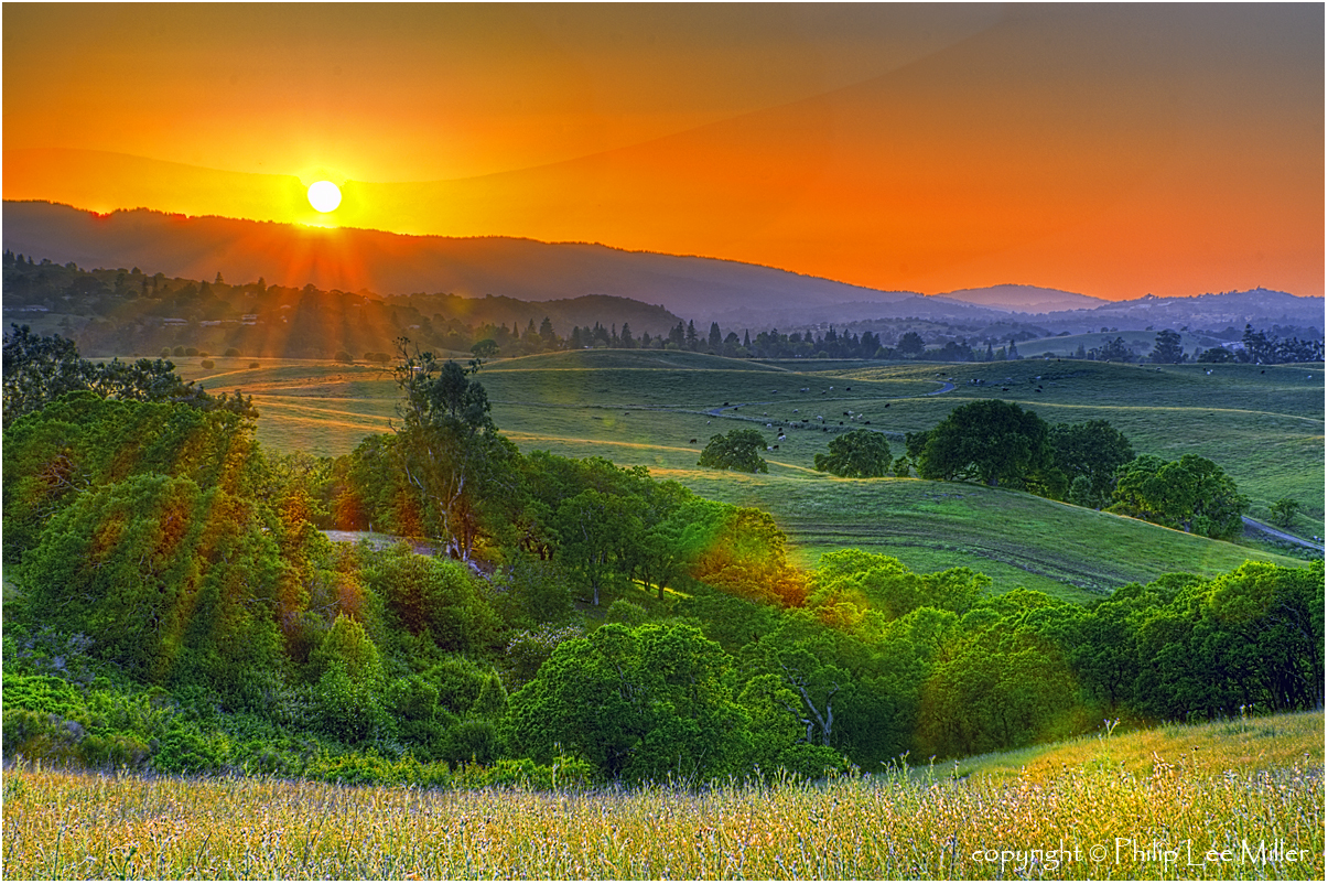
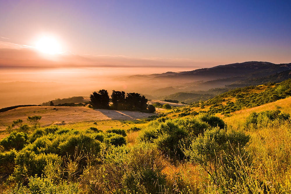
Golden State
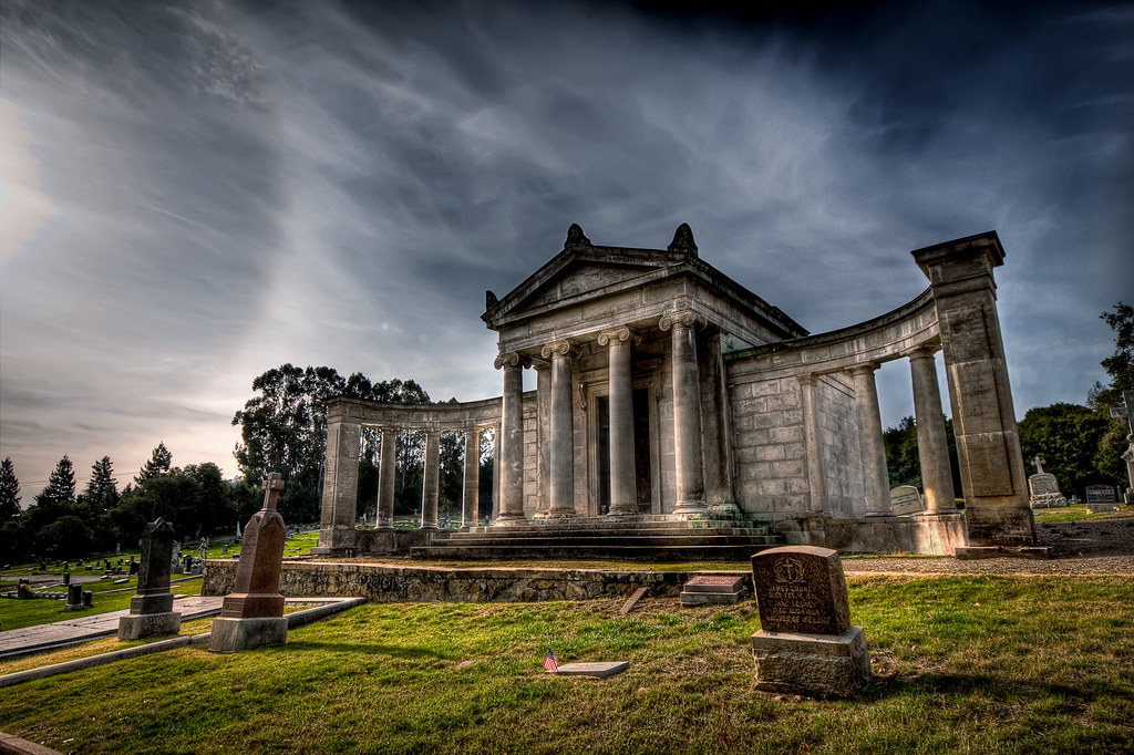
pillar | woodside, ca

Fall Colors

IMG_8090 Snowy Egret, Mountain View Shoreline Park, CA
The best seat in the house
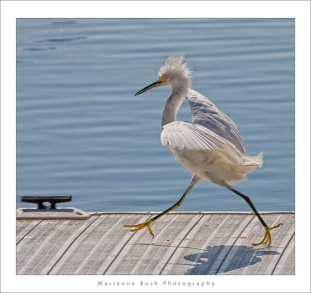
Egret Strut

sometimes you just need to wet your beak | atherton, ca

IMG_1380 Let Me Feed You, Honey.
Sun Burn
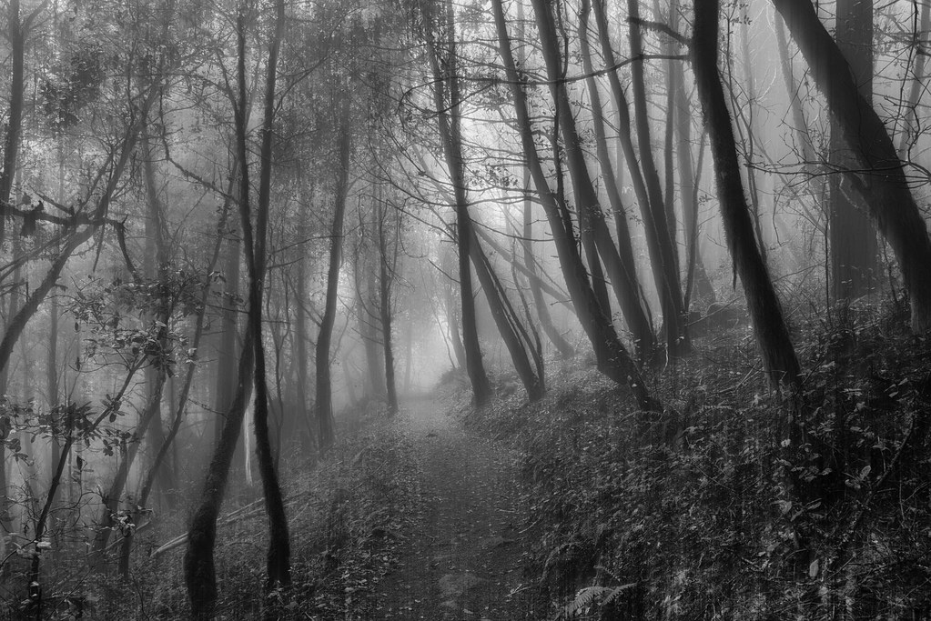
If Trees Could Talk
Egret landing

IMG_2314 Forster's Tern

IMG_3580 Black-Crowned Night Heron

Eared Grebe with just a hint of the breeding plumage
St John's
the gatekeeper

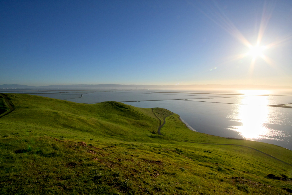
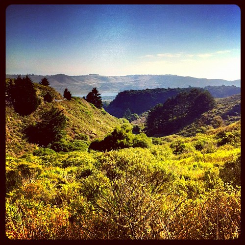
view from the Palo Alto hills down to the bay.
folds of oblivion

Heavenly shades of night are falling, it's twilight time ...

Arastradero Pasture

Heavenly Shades of Night are Falling -- Reprise

Fields of Gold

Home on the Farm
Cotoye Hills Regional Park 11.jpg

~~Garden of PEACE #2~~

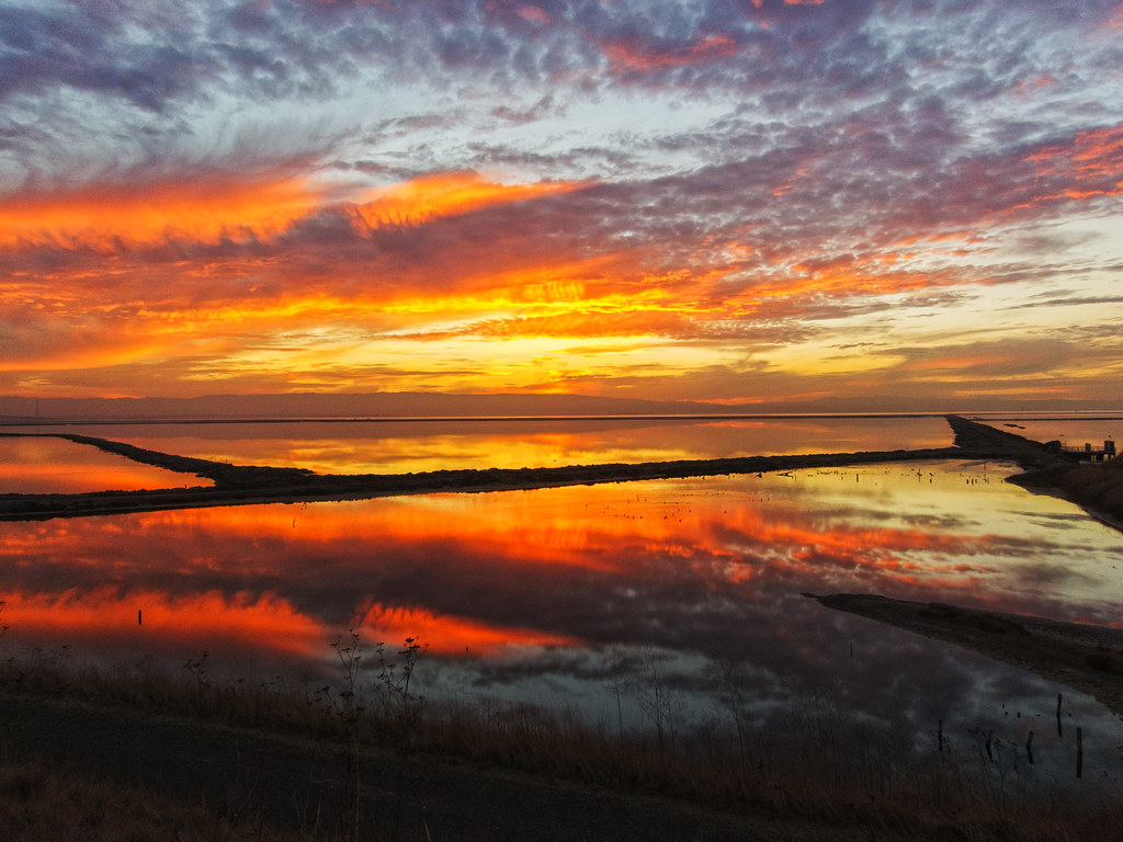
Sunrise over Mount Diablo and San Francisco Bay - Millbrae California
Skyline Sunrise

DSC00963.JPG

Alle Fotos-58

Closing Time
Purisima Creek

Redwood Shores
Way better than the DMV...

April Skies | Palo Alto

Gentle Afterglow
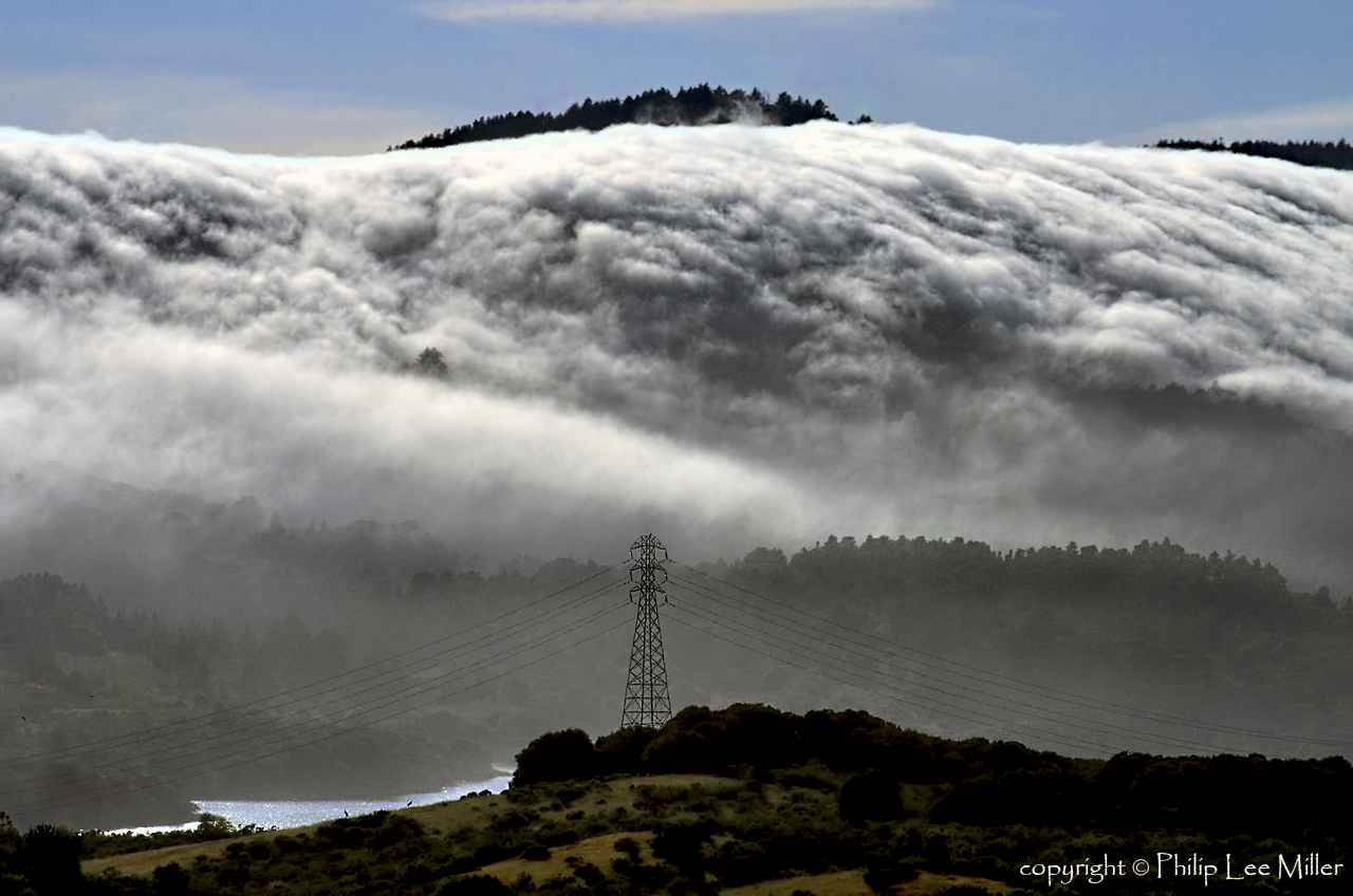
Power Meets Power
An unusual view of San Francisco
No Name Trail

Stanford and Palo Alto
Topographic Map of Lau Jaime DDS, Laurel St, San Carlos, CA, USA
Find elevation by address:

Places near Lau Jaime DDS, Laurel St, San Carlos, CA, USA:
1338 El Camino Real
1839 Elm St
1599 Industrial Rd
Edgewood Park
Industrial Rd, San Carlos, CA, USA
1104 Whipple Ave
The Refuge
1210 Stafford St
150 Duane St
784 Arguello St
Centennial
Split
San Carlos Airport
333 Main St
Marshall Street
910 Marshall St
Assia Inc
Sea Anchor Drive
3 Blu Harbor Blvd
702 Cassia St
Recent Searches:
- Elevation of Corso Fratelli Cairoli, 35, Macerata MC, Italy
- Elevation of Tallevast Rd, Sarasota, FL, USA
- Elevation of 4th St E, Sonoma, CA, USA
- Elevation of Black Hollow Rd, Pennsdale, PA, USA
- Elevation of Oakland Ave, Williamsport, PA, USA
- Elevation of Pedrógão Grande, Portugal
- Elevation of Klee Dr, Martinsburg, WV, USA
- Elevation of Via Roma, Pieranica CR, Italy
- Elevation of Tavkvetili Mountain, Georgia
- Elevation of Hartfords Bluff Cir, Mt Pleasant, SC, USA