Elevation of Latur, Maharashtra, India
Location: India > Maharashtra > Latur >
Longitude: 76.5603828
Latitude: 18.4087934
Elevation: 633m / 2077feet
Barometric Pressure: 94KPa
Elevation Map:
Satellite Map:
Related Photos:
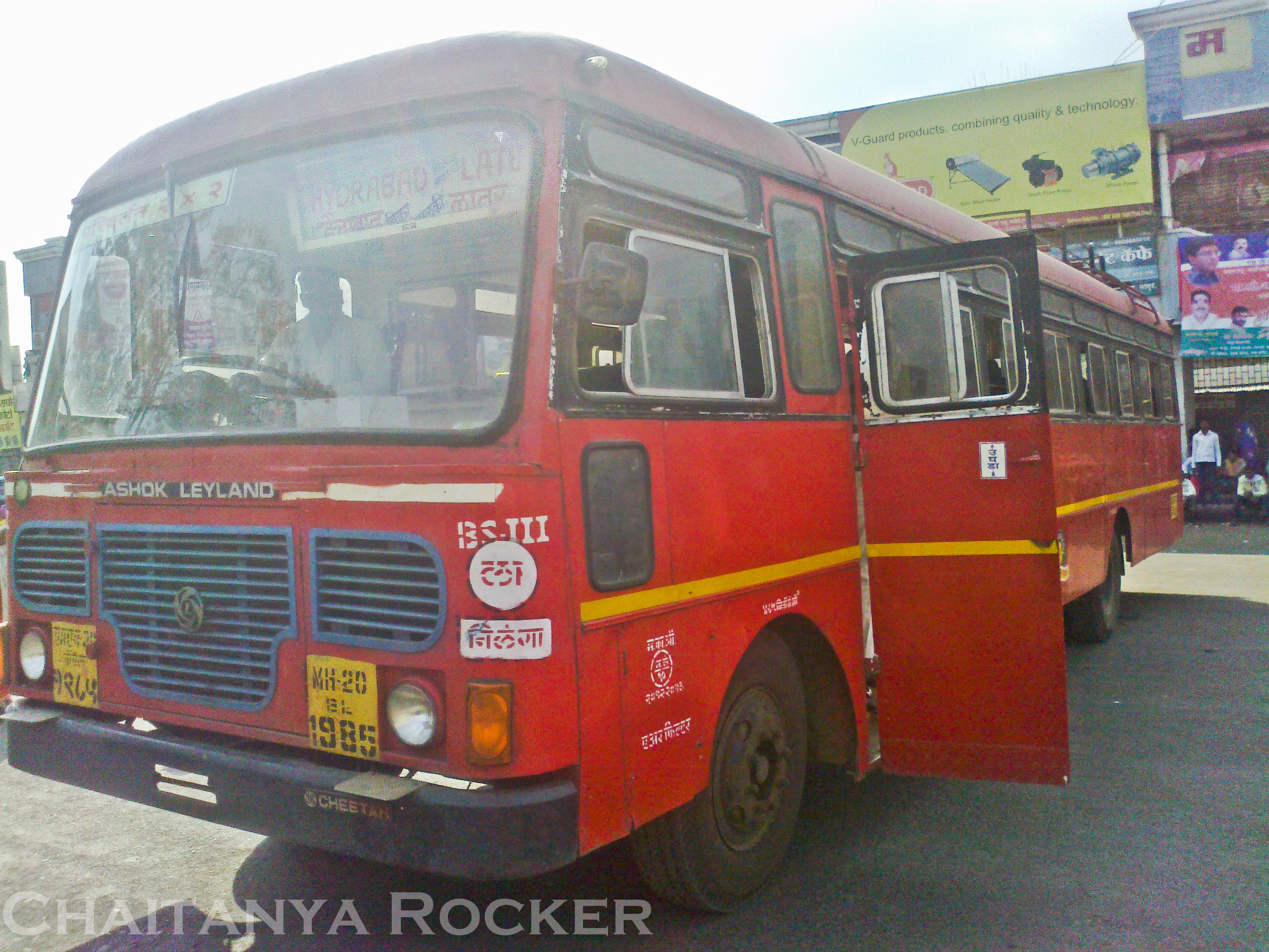
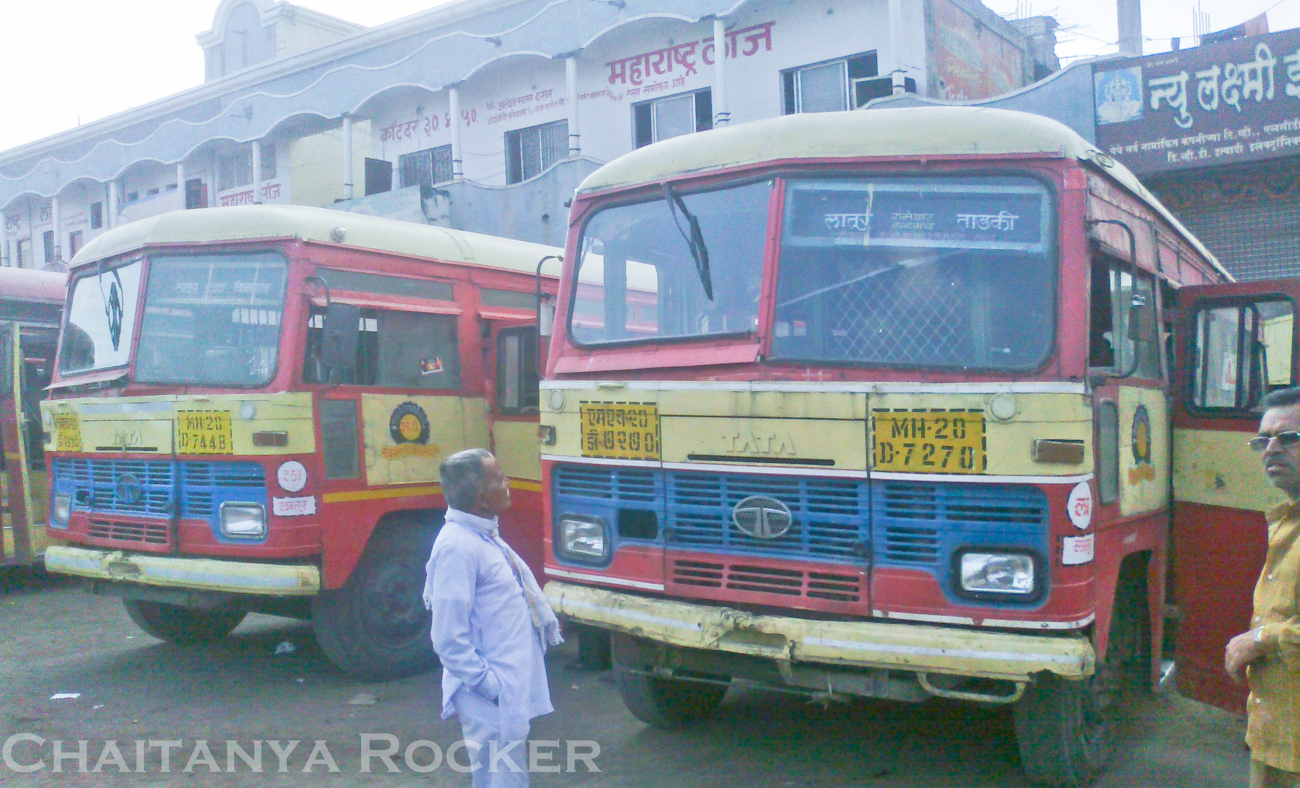
Hyderabad - Latur
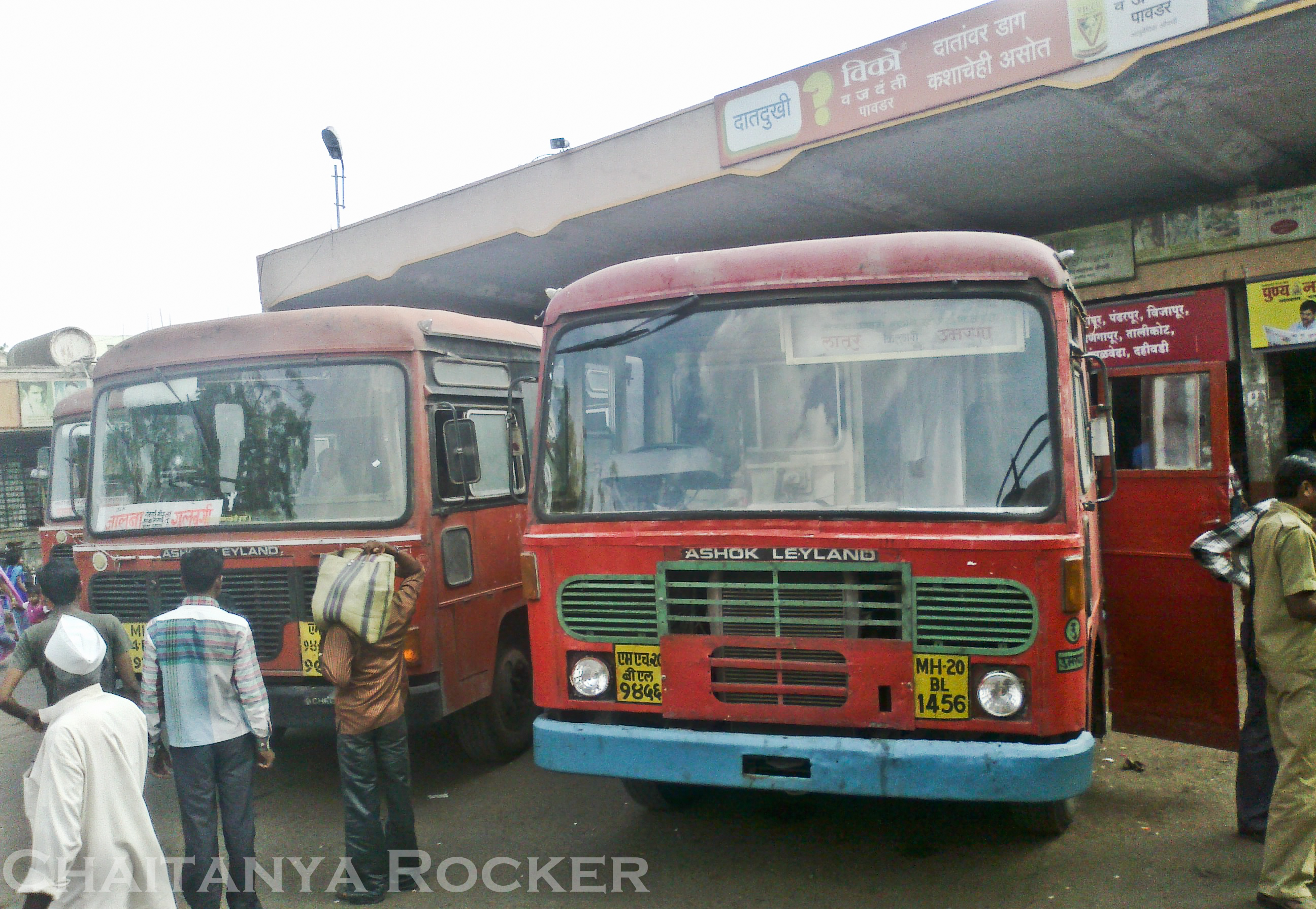
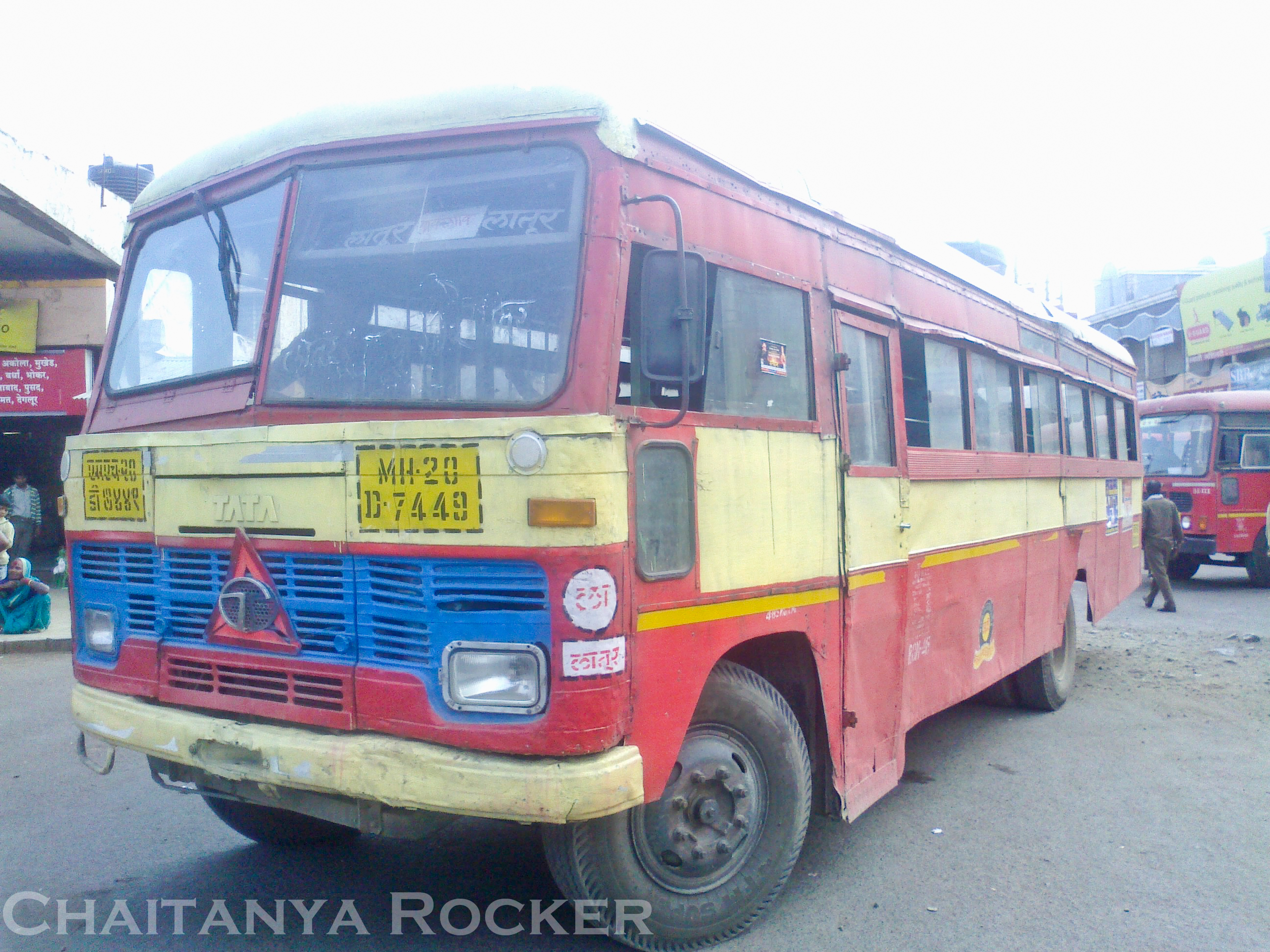
Latur - Umarga
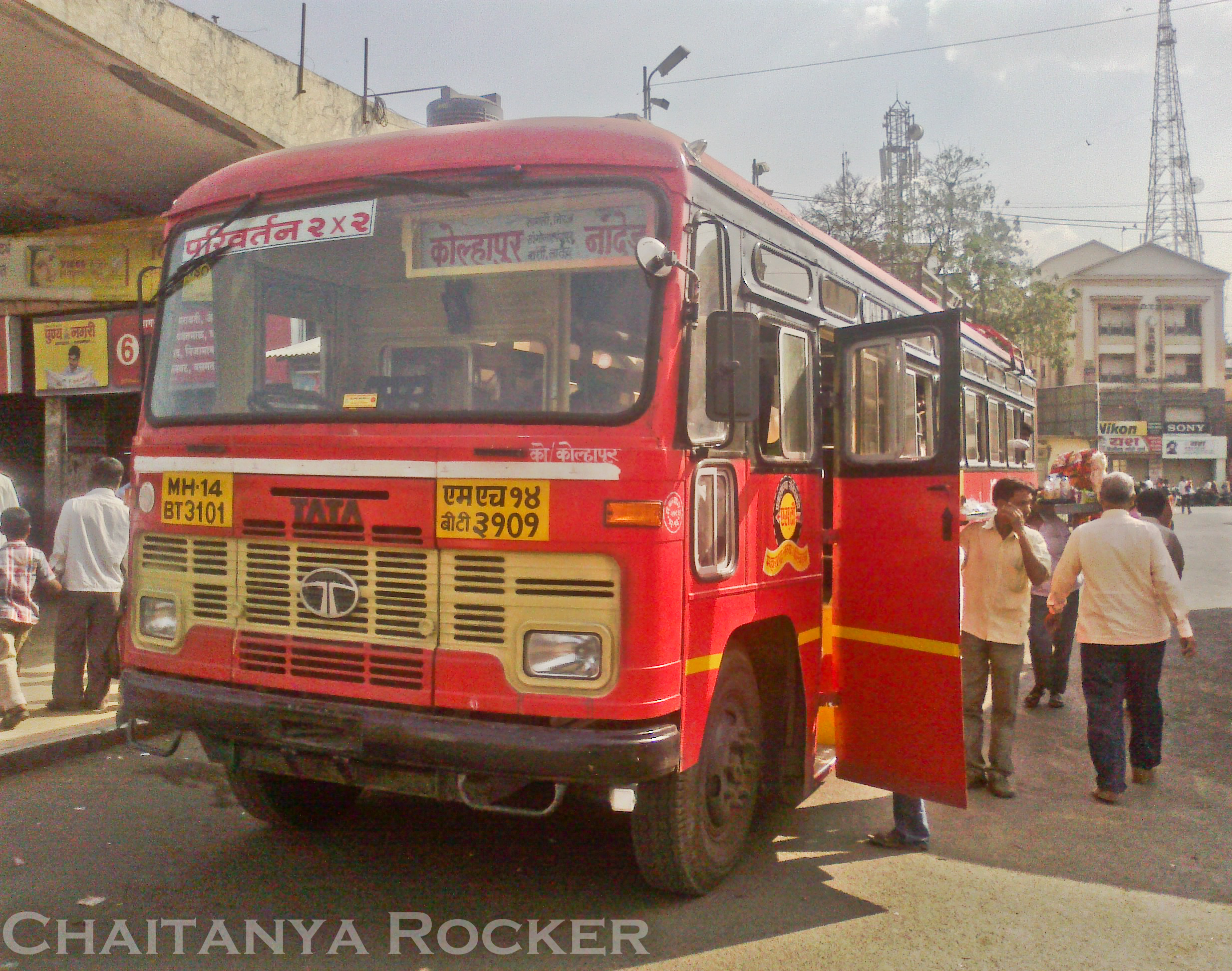
Kolhapur - Nanded
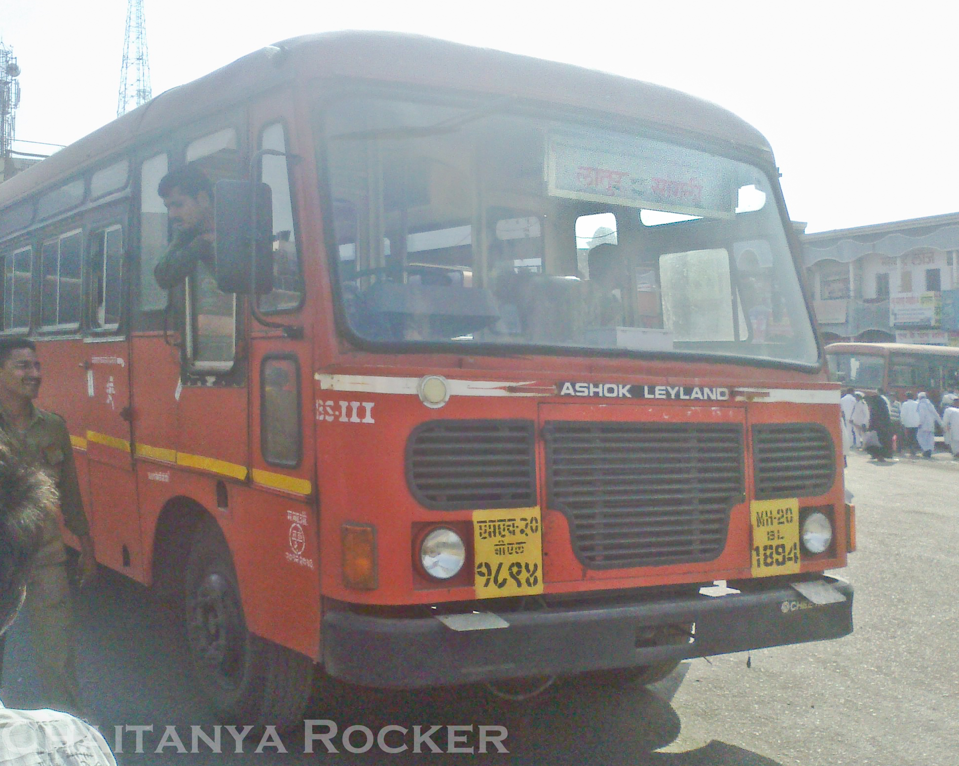
Latur - Sangli
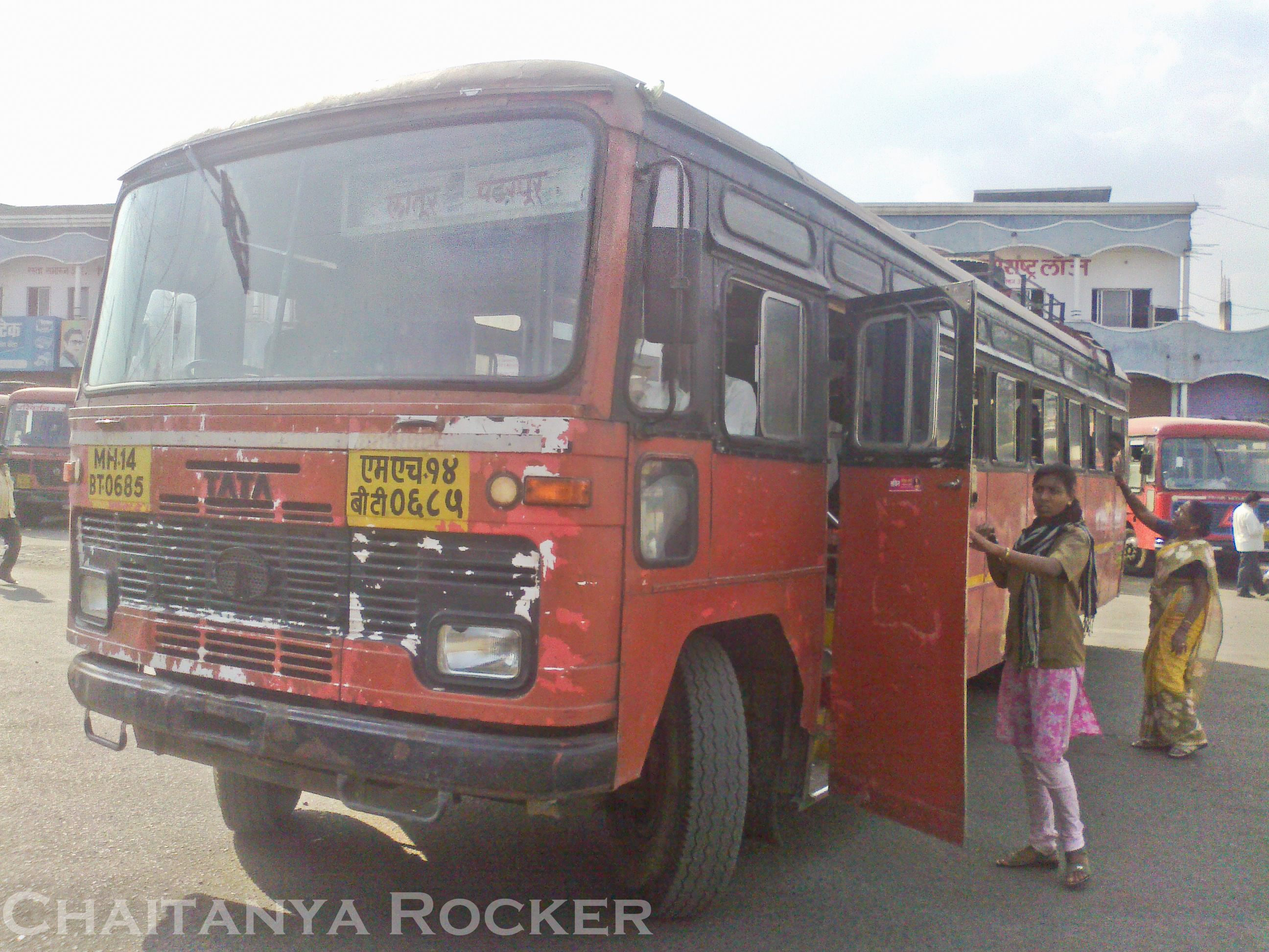
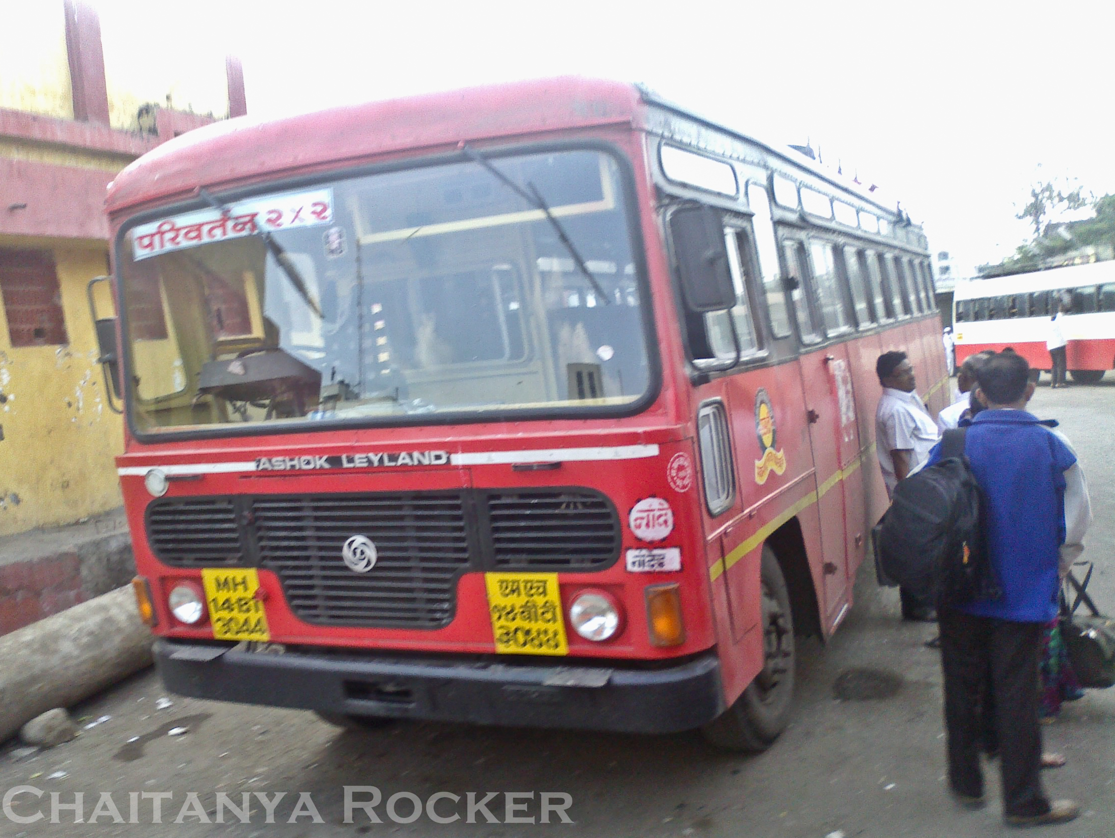
Latur - Pandharpur
Latur - Ujani - Solapur
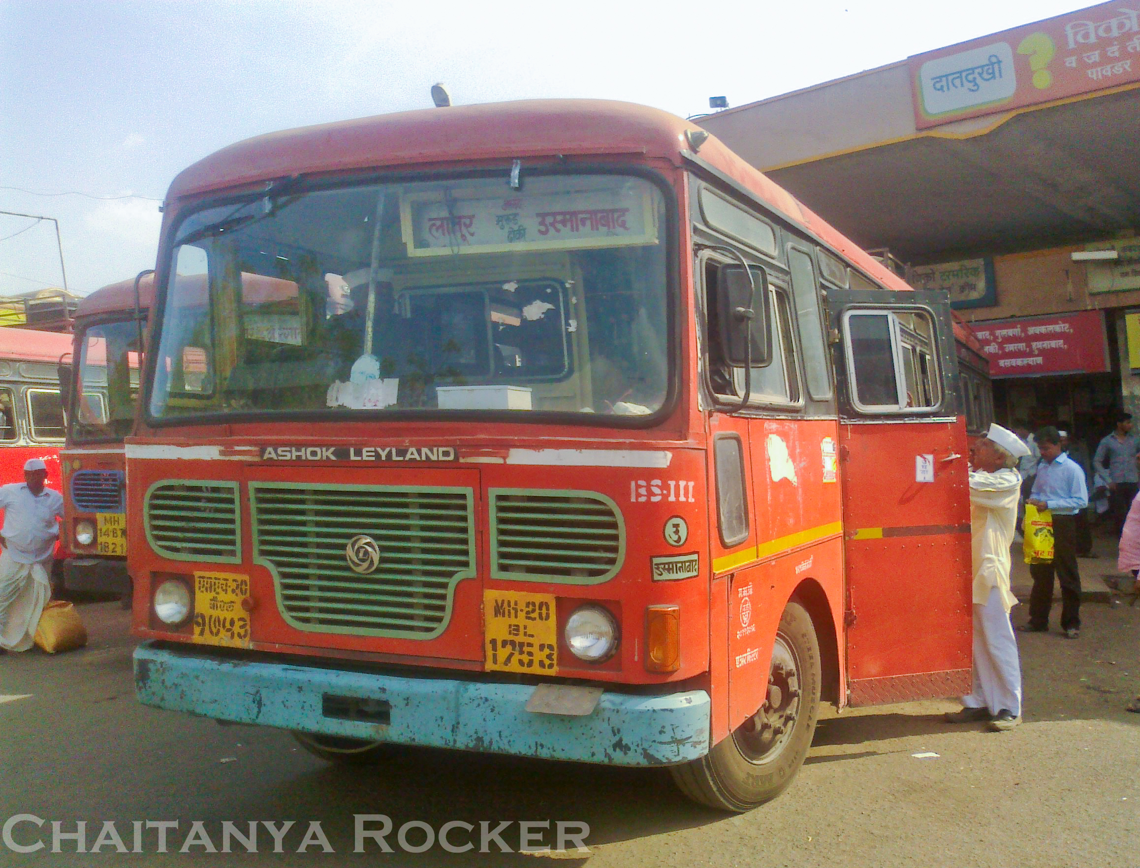
Latur - Osmanabad
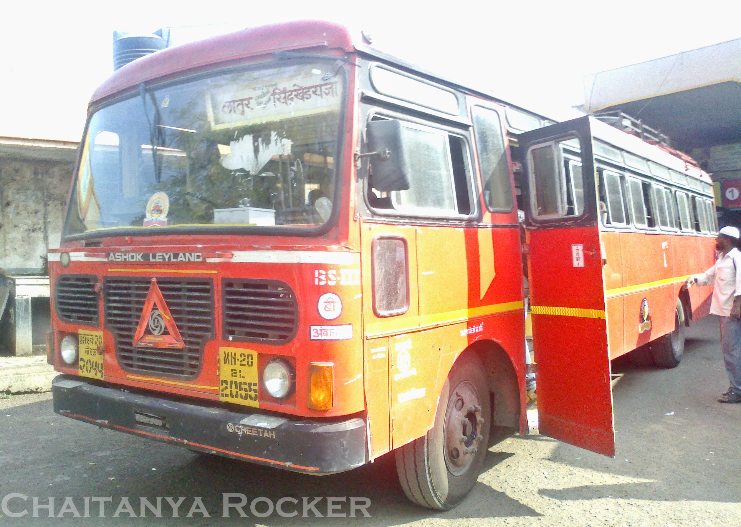
Latur - Sindkhed Raja
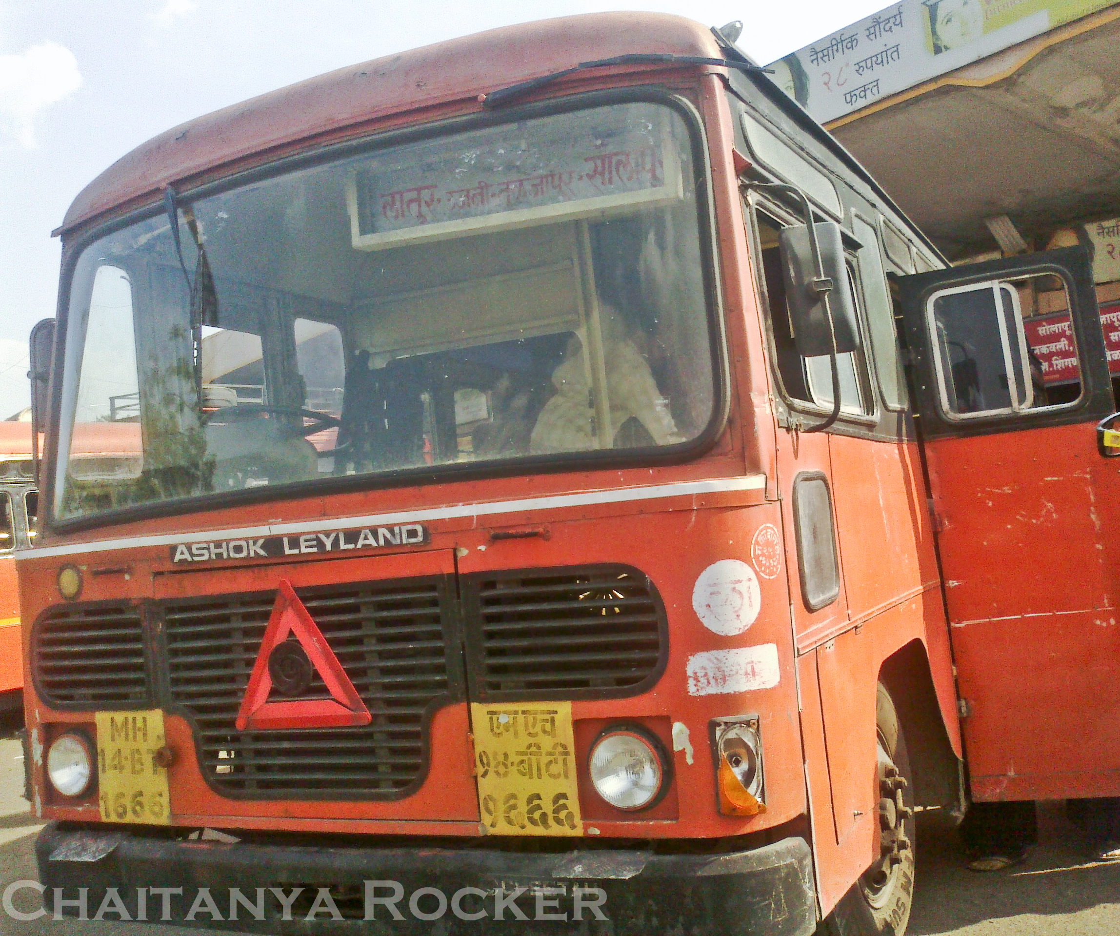
Beauty from Latur Depot
Beauty from Latur Depot
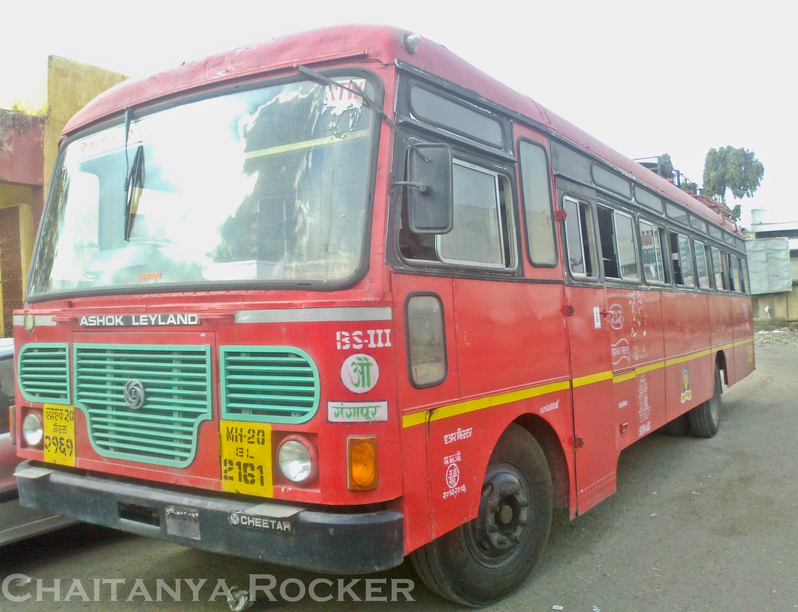
Latur - Gangapur
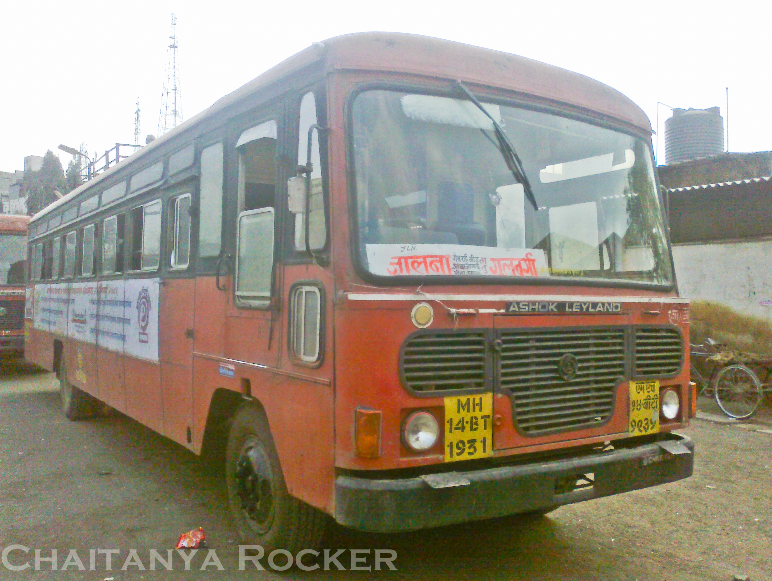
Jalna - Gulbarga
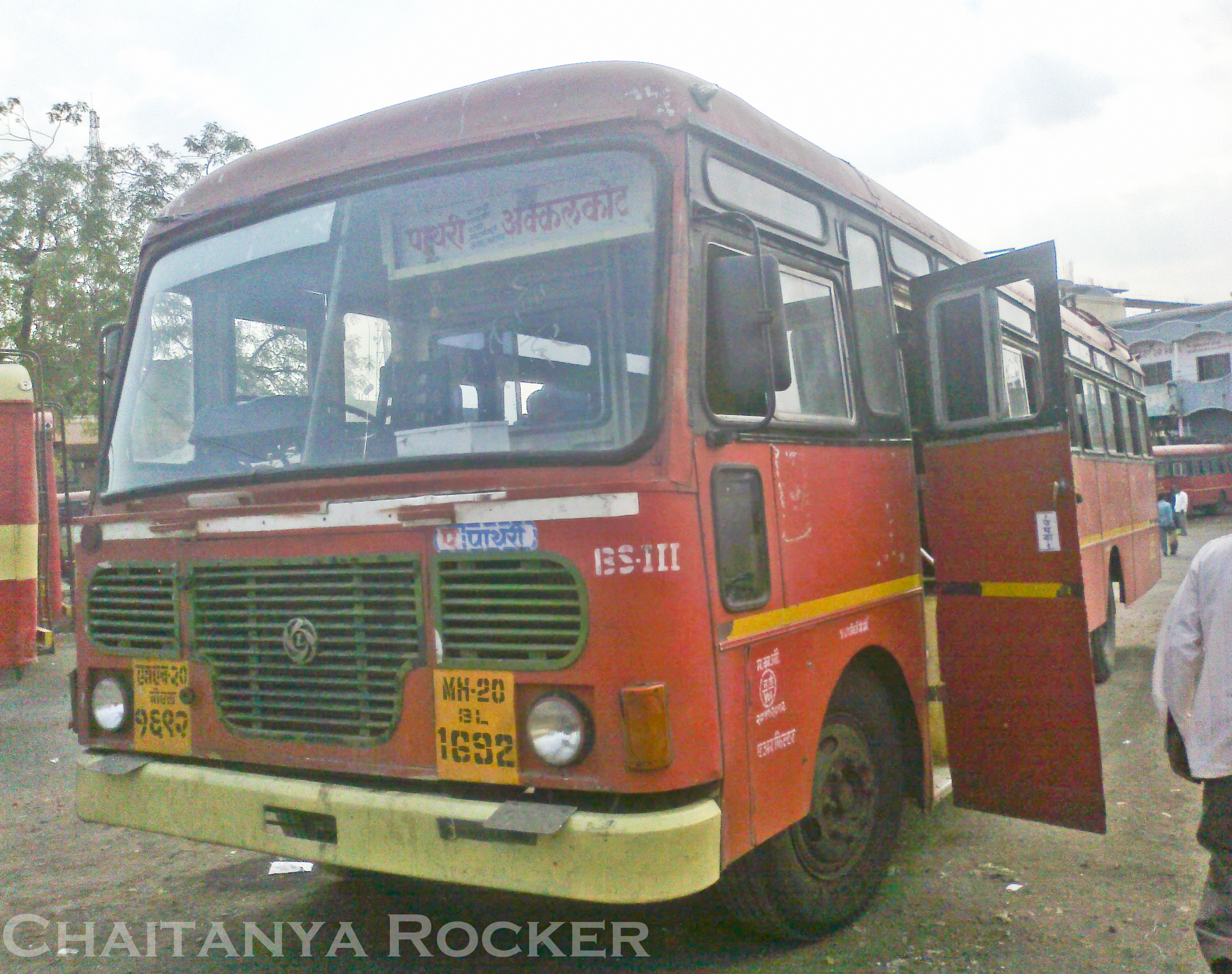
Pathri - Akkalkot
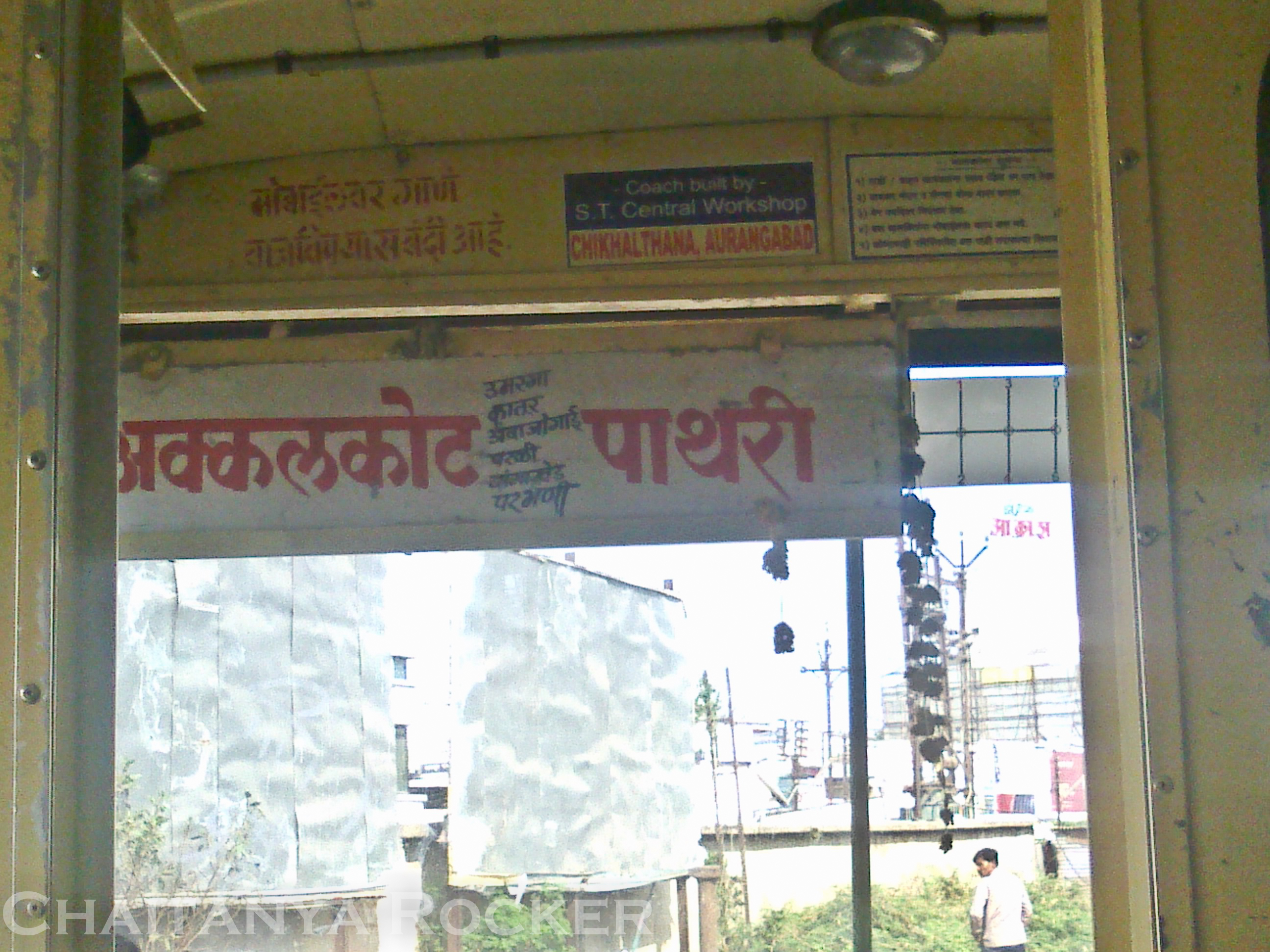
Akkalkot - Pathari
Beauty from Nanded Depot
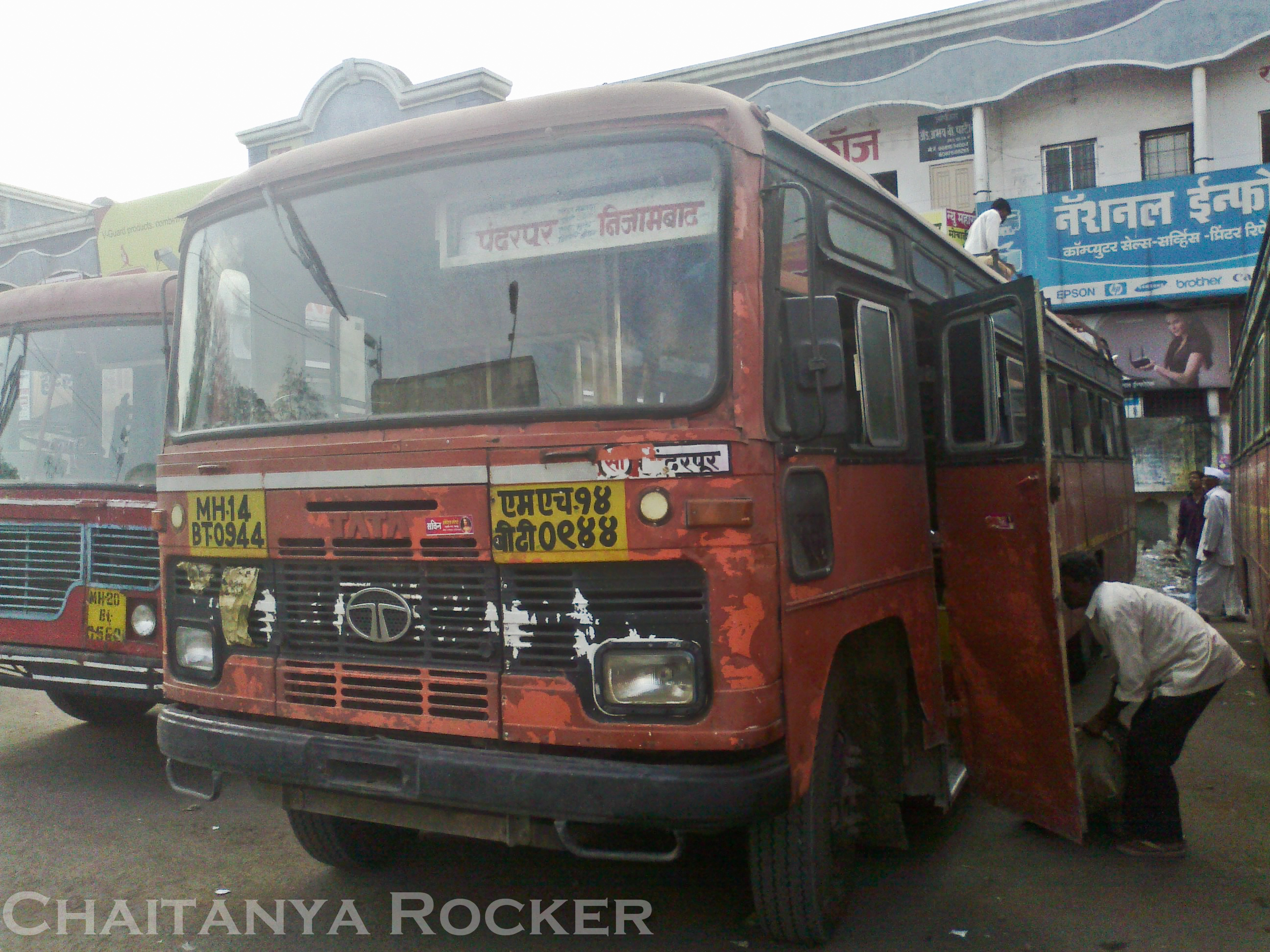
Pandharpur - Nizamabad
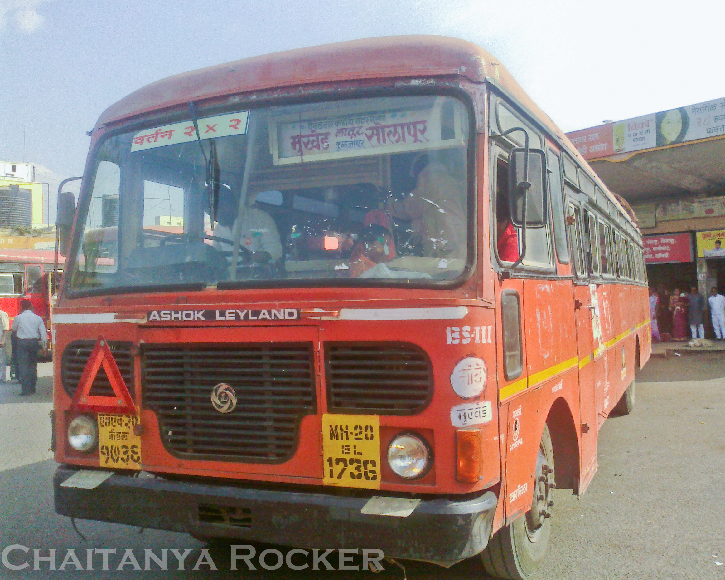
Mukhed - Solapur
holi lamp
Topographic Map of Latur, Maharashtra, India
Find elevation by address:

Places near Latur, Maharashtra, India:
Latur
Ambajogai
Parli Road
Gawli Pura
Khed
Parbhani
Parbhani
Kanakwadi
Kankeshwar Hanuman Mandir
Nanded
Walur
Jalna
Recent Searches:
- Elevation of Corso Fratelli Cairoli, 35, Macerata MC, Italy
- Elevation of Tallevast Rd, Sarasota, FL, USA
- Elevation of 4th St E, Sonoma, CA, USA
- Elevation of Black Hollow Rd, Pennsdale, PA, USA
- Elevation of Oakland Ave, Williamsport, PA, USA
- Elevation of Pedrógão Grande, Portugal
- Elevation of Klee Dr, Martinsburg, WV, USA
- Elevation of Via Roma, Pieranica CR, Italy
- Elevation of Tavkvetili Mountain, Georgia
- Elevation of Hartfords Bluff Cir, Mt Pleasant, SC, USA