Elevation map of Jalna, Maharashtra, India
Location: India > Maharashtra >
Longitude: 75.9927652
Latitude: 19.6807088
Elevation: 456m / 1496feet
Barometric Pressure: 96KPa
Elevation Map:
Satellite Map:
Related Photos:

Ishita Agrawal
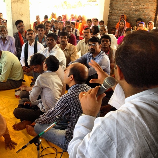
#amazingindia #satsang # 2 Prasanna Prabhu gives talk to people
Topographic Map of Jalna, Maharashtra, India
Find elevation by address:

Places in Jalna, Maharashtra, India:
Places near Jalna, Maharashtra, India:
Kankeshwar Hanuman Mandir
Kanakwadi
Walur
Parbhani
Parbhani
Gawli Pura
Parli Road
Ambajogai
Latur
Khed
Nanded
Latur
Recent Searches:
- Elevation of Corso Fratelli Cairoli, 35, Macerata MC, Italy
- Elevation of Tallevast Rd, Sarasota, FL, USA
- Elevation of 4th St E, Sonoma, CA, USA
- Elevation of Black Hollow Rd, Pennsdale, PA, USA
- Elevation of Oakland Ave, Williamsport, PA, USA
- Elevation of Pedrógão Grande, Portugal
- Elevation of Klee Dr, Martinsburg, WV, USA
- Elevation of Via Roma, Pieranica CR, Italy
- Elevation of Tavkvetili Mountain, Georgia
- Elevation of Hartfords Bluff Cir, Mt Pleasant, SC, USA