Elevation of Las Tunas Rd, Montecito, CA, USA

Location: United States > California > Santa Barbara County > Montecito >

Longitude: -119.62738

Latitude: 34.442531

Elevation: 101m / 331feet

Barometric Pressure: 100KPa

Elevation Map:

elevation map of Las Tunas Rd, Montecito, CA, USA

Satellite Map:

Satellite map of Las Tunas Rd, Montecito, CA, USA

Related Photos:

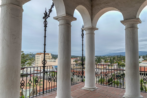
california hdr nikon nikond5300 santabarbara santabarbaracountycourthouse architecture clouds courthouse geotagged sky tower vacation view unitedstates
Taking a step back to enjoy the view
180degrees california nikon nikond5300 people santabarbara santabarbaracountycourthouse santaynezmountains clouds courthouse geotagged grass lawn palmtree palmtrees panorama panoramic sky tourists tower tree trees vacation view
Doing a 180
santa barbara california ca june 2018 ynez mountains courthouse view architecture
Santa Barbara, California
ocean california sunset mountain fall beach water clouds sand surf waves pacific seagull flight hills kennelly platinumphoto
flight at sunset
santa barbara ca california ynez mountains june 2018 courthouse view architecture
Santa Barbara, California
chaparralpenstemon penstemonheterophyllus plantaginaceae arroyoburrosaddle santaynezmountains santabarbaracounty california macromondays pareidolia
Chaparral Penstemon - the face in the flower
douglaspreserve santababara clouds seascape santabarbara california unitedstatesofamerica storm
Stormy Sundown
SHIPS PASSING
longexposure toby beach night landscape keller d70 led headlamp hendrys tobykeller 1118mm burnblue
After Sato
santabarbara santabarbarabotanicgarden redwoodtree forest california
Redwood Forest at S.B. Botanic Garden
texture beach colors birds kids point sand pacific tracks tire running vanishing chasing
t r a c k s
ocean california longexposure toby moon beach santabarbara night landscape keller waves d70 been1of100 top20night hendrys tobykeller 1118mm burnblue
Earth, Air, Fire, Water
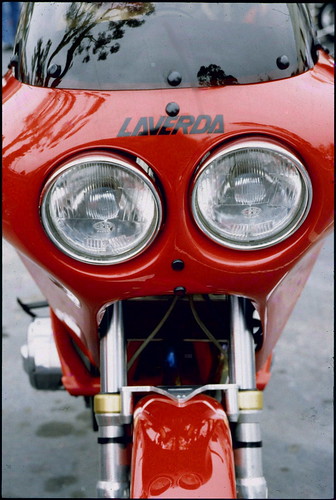
view santabarbara motorcycle motorcycleshow laverda red leica m2 california film headlights classic
Santa Barbara - Laverda
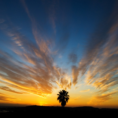
california sunset santabarbara clouds nikon palm d200 mesa montecito 2007 brooksinstitute
montecito palm
ocean california leica blue red summer beach santabarbara 50mm sailing glow f1 noctilux mandler leicaglow waltermandler alandreamworks
Ocean view
california sky beach silhouette night strand stars us unitedstates nacht socal moonrise k5 kalifornien sterne nachthimmel mondaufgang pentaxk5
Moonrise Kindgdom
panorama ink mixedmedia gouache urbanlandscape santabarbaracalifornia stanthonysseminary whitegelpen neocoloriiwatersolublewaxpastels marciamilnerbrage
Mission Canyon Panorama
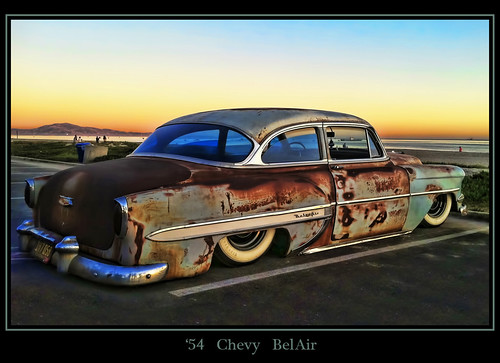
So Cal cruiser..
california santabarbara harbor marina sailboat pacificocean breakwater pointcastillo sandybeach joelach
Panorma of the Harbor
sunset sea seascape pacific pacificocean moremesa dsc6493aw
My backyard
santabarbara california courthouse garden palmtrees downtown view architecture ocean landscape highway1 urban
View from Clock Tower
Golden Wings
ocean california sky usa america painting boat unitedstates pacificocean buoy carpinteria santabarbaracounty postedonflickr photosbydavid jfflickr postedong water saltwater
Wait (p)
ocean bird beach animal america painting unitedstates pacificocean tar santabarbaracounty postedonflickr carpinteriastatebeach photosbydavid jfflickr postedonello usa water wildlife saltwater
Strut Your Stuff (p)
usa california santabarbara summerland
Summerland beach, Santa Barbara, California
ocean sky people usa beach water rock america painting person sand unitedstates wave pacificocean santabarbaracounty carpinteriastatebeach photosbydavid california unitedstatesofamerica carpinteria saltwater
Low Tide (p)
california sunset beach landscape evening nikon bravo firstshots d300 hendrys gnd 1118mm flickrsbest nothdr
Day's End Rock
longexposure toby beach fog night clouds landscape keller d70 hendrys tobykeller 1118mm burnblue outwithzinkwazi
Hendry's with Fog, Night
low tide...
2470l california canon canon5dmkiii geotagged hdr project365 santabarbara unitedstates exif:aperture=ƒ80 geo:lat=3440444517 camera:make=canon geo:city=santabarbara geo:country=unitedstates geo:state=california exif:lens=ef2470mmf28lusm exif:focallength=51mm exif:model=canoneos5dmarkiii exif:isospeed=200 geo:location=westmesa geo:lon=11973878362 camera:model=canoneos5dmarkiii exif:make=canon project365092217
2017-264 Path to the Douglas Preserve
california sunset beach landscape evening nikon firstshots d300 hendrys 1118mm beachhendrysevening
Last Light, Hendry's
santabarbara
looking down on Santa Barbara
arroyo arroyobeach santabarbaracalifornia pacific pacificocean california douglaspreserve hendrysbeach santabarbara sunset
Santa Barbara, Sunset on Arroyo
longexposure toby moon beach santabarbara night landscape keller warm d70 mesa tobykeller 1118mm burnblue nearlyfull
The Leaning Rock
ocean california sky people usa beach rock america painting person sand unitedstates unitedstatesofamerica pacificocean carpinteria santabarbaracounty postedonflickr carpinteriastatebeach photosbydavid jfflickr postedonmewe water saltwater
Rummaging On The Beach (p)
Out of Light
sunset water santabarbara
Channel Island from Santa Barbara, CA
A BEAUTIFUL PLACE TO BE SOMEWHERE ELSE