Elevation of LaRue, Larue, TX, USA
Location: United States > Texas > Henderson County >
Longitude: -95.674682
Latitude: 32.1168234
Elevation: 146m / 479feet
Barometric Pressure: 100KPa
Elevation Map:
Satellite Map:
Related Photos:

Spring!
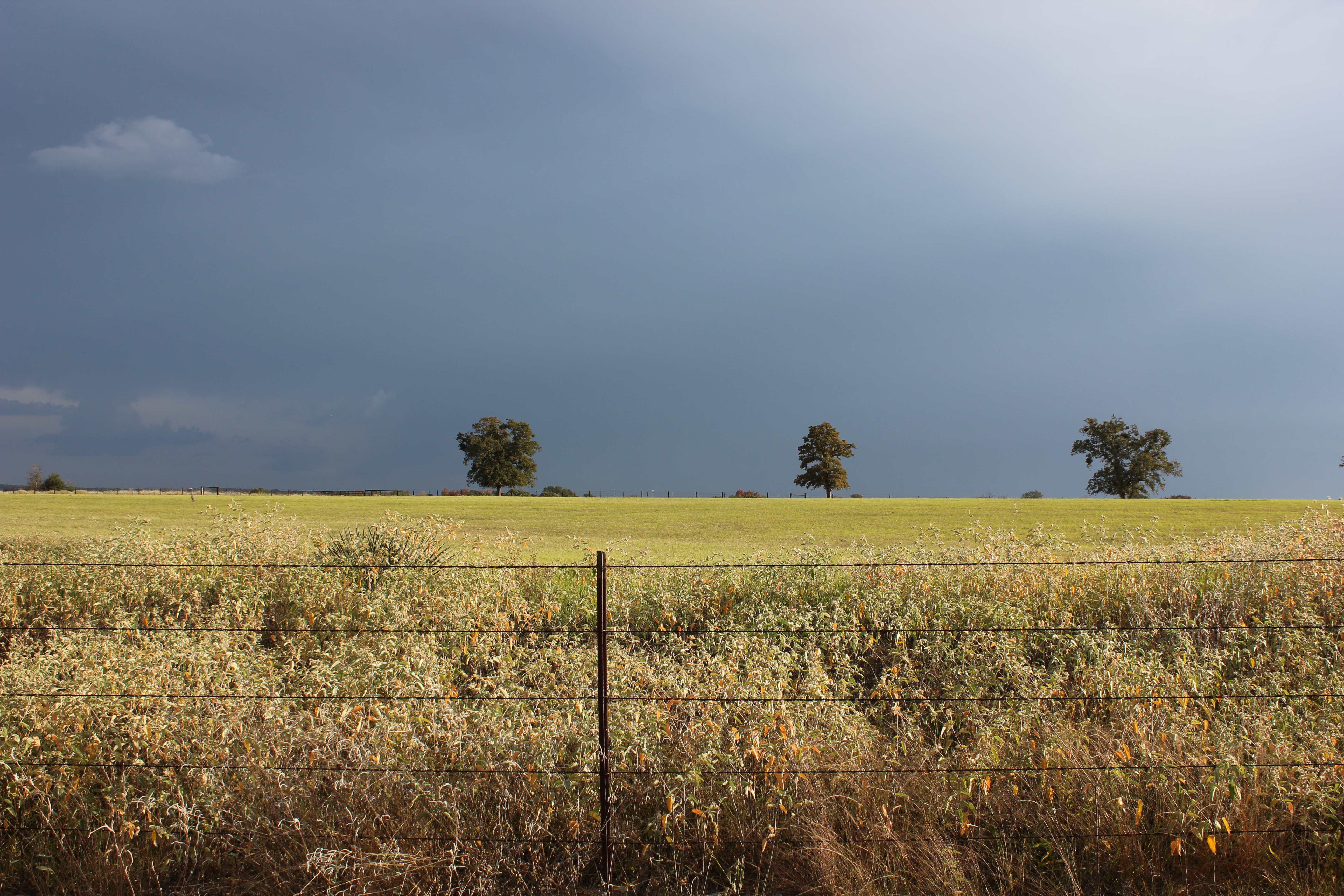
Field of Gold - Explore
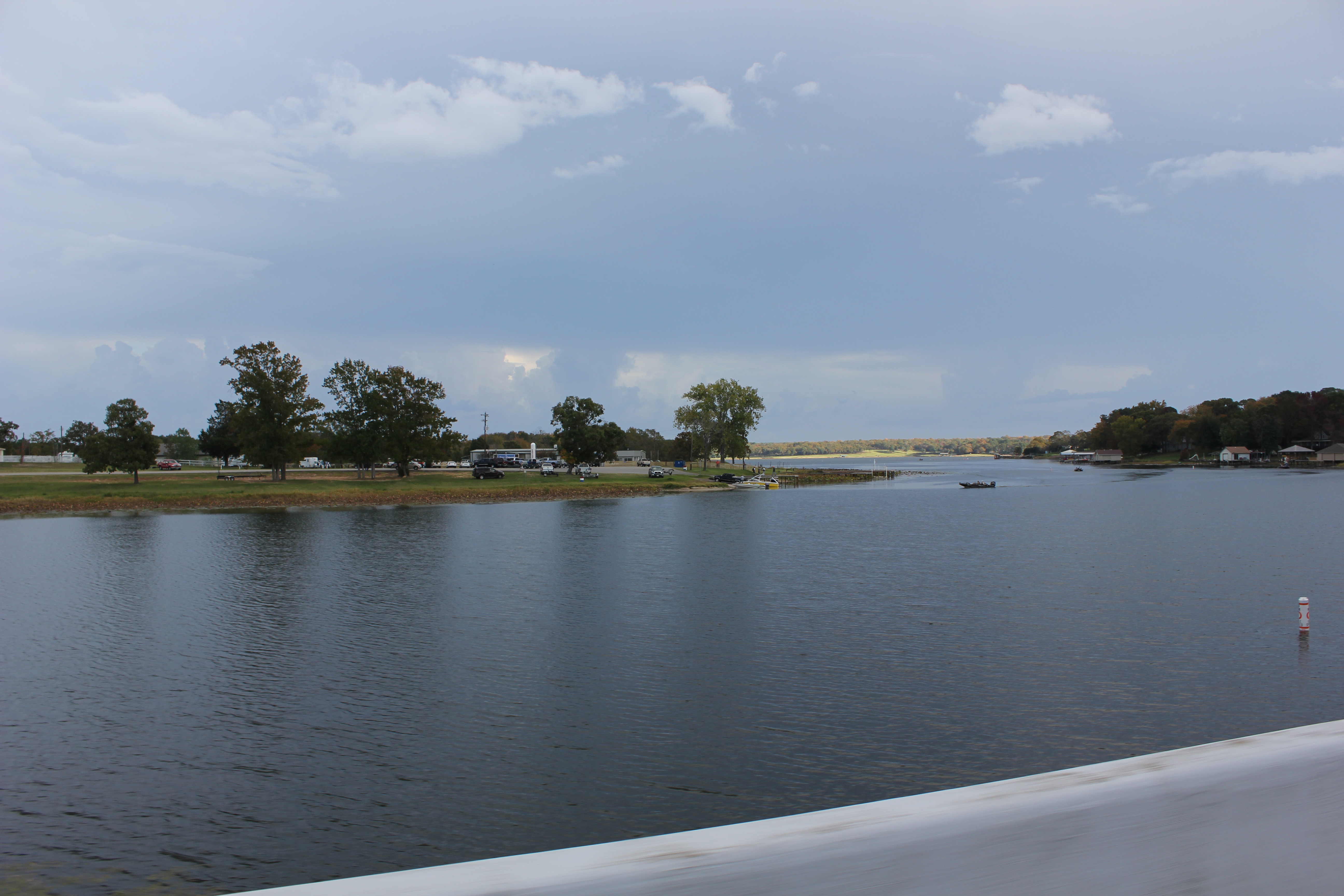
Lake Athens 1, Athens, Texas

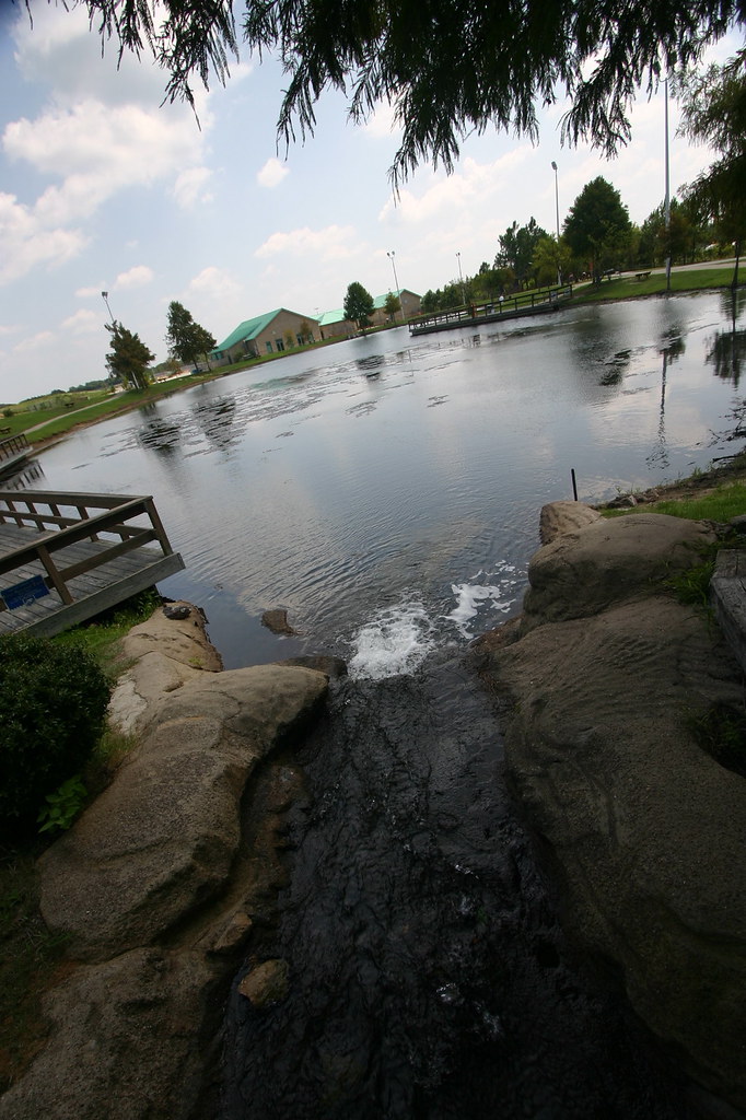
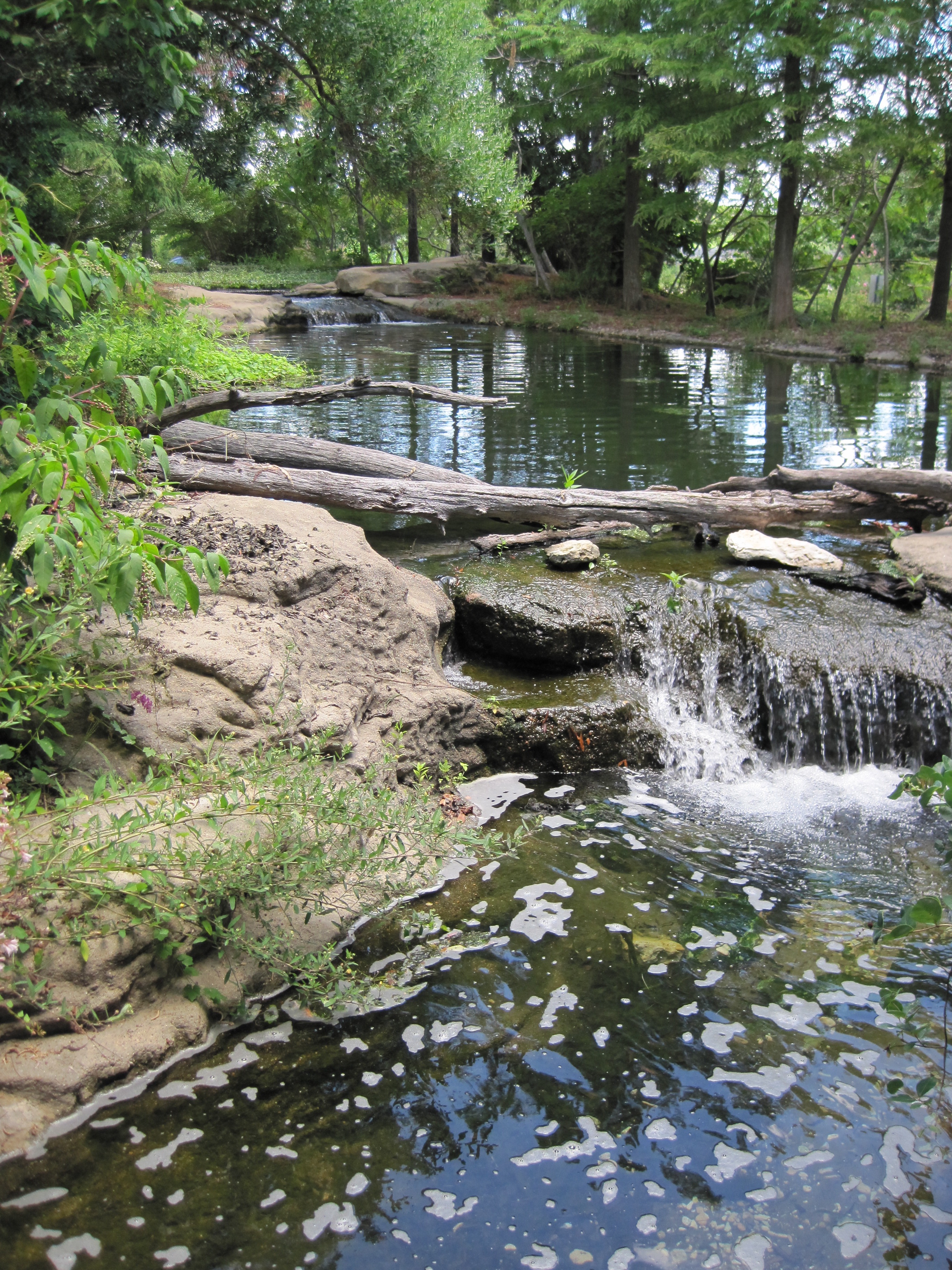
Rock Bridge

The Fishing Hole
Keep The Water Moving
Surrounded by Pines
Texas Freshwater Fisheries Center
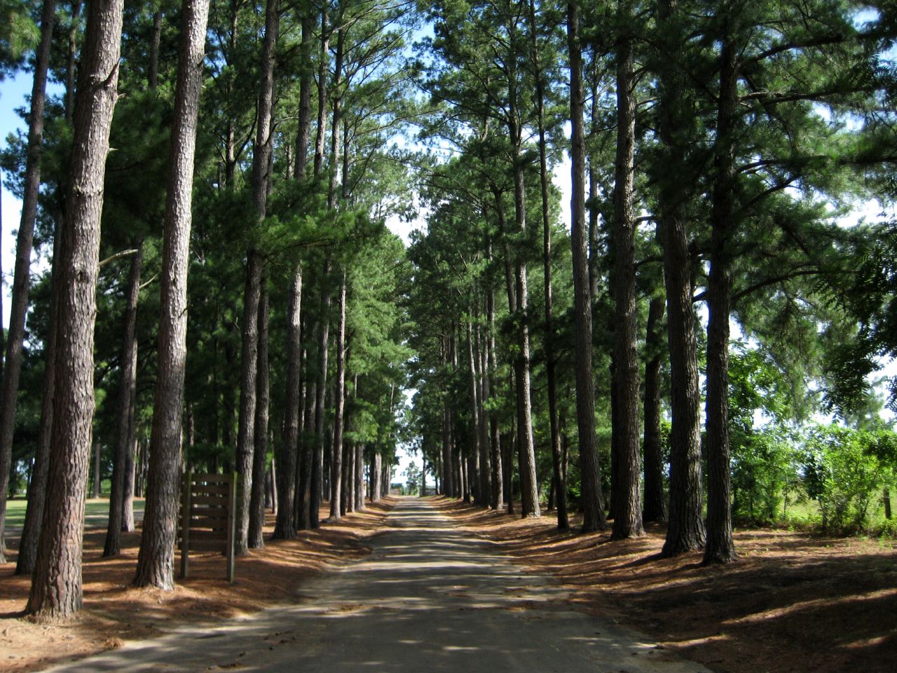
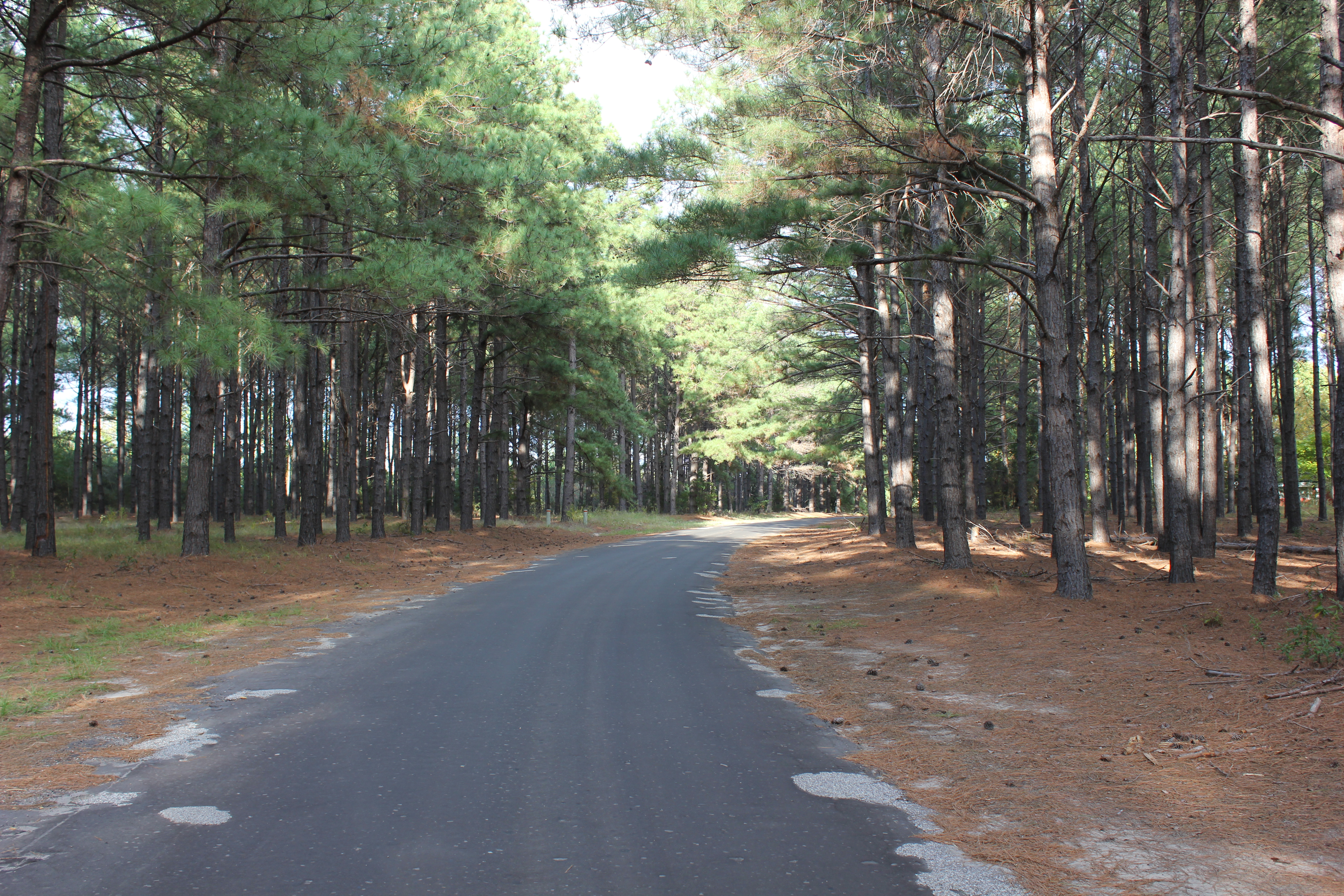
Tunnel of Trees
Topographic Map of LaRue, Larue, TX, USA
Find elevation by address:

Places in LaRue, Larue, TX, USA:
Places near LaRue, Larue, TX, USA:
TX-60 Loop, Larue, TX, USA
FM, Murchison, TX, USA
6175 Dorsey Crl
Henderson County
Athens, Tx
119 Waverly Way
Murchison
936 Bradley Dr
8617 Fm1616
S Prairieville St & Larue St
County Rd, Palestine, TX, USA
Athens
Girl Scouts Of Northeast Texas - Camp Bette Perot
2260 Acr 451
307 Brentwood Dr
Montalba
9775 Richardson Rd
9775 Richardson Rd
9775 Richardson Rd
9775 Richardson Rd
Recent Searches:
- Elevation of Corso Fratelli Cairoli, 35, Macerata MC, Italy
- Elevation of Tallevast Rd, Sarasota, FL, USA
- Elevation of 4th St E, Sonoma, CA, USA
- Elevation of Black Hollow Rd, Pennsdale, PA, USA
- Elevation of Oakland Ave, Williamsport, PA, USA
- Elevation of Pedrógão Grande, Portugal
- Elevation of Klee Dr, Martinsburg, WV, USA
- Elevation of Via Roma, Pieranica CR, Italy
- Elevation of Tavkvetili Mountain, Georgia
- Elevation of Hartfords Bluff Cir, Mt Pleasant, SC, USA