Elevation of Girl Scouts of Northeast Texas - Camp Bette Perot, An, County Rd, Palestine, TX, USA
Location: United States > Texas > Anderson County > Montalba >
Longitude: -95.766687
Latitude: 31.9292576
Elevation: 121m / 397feet
Barometric Pressure: 100KPa
Elevation Map:
Satellite Map:
Related Photos:

The Alter

Angel, side view

Celithemis fasciata

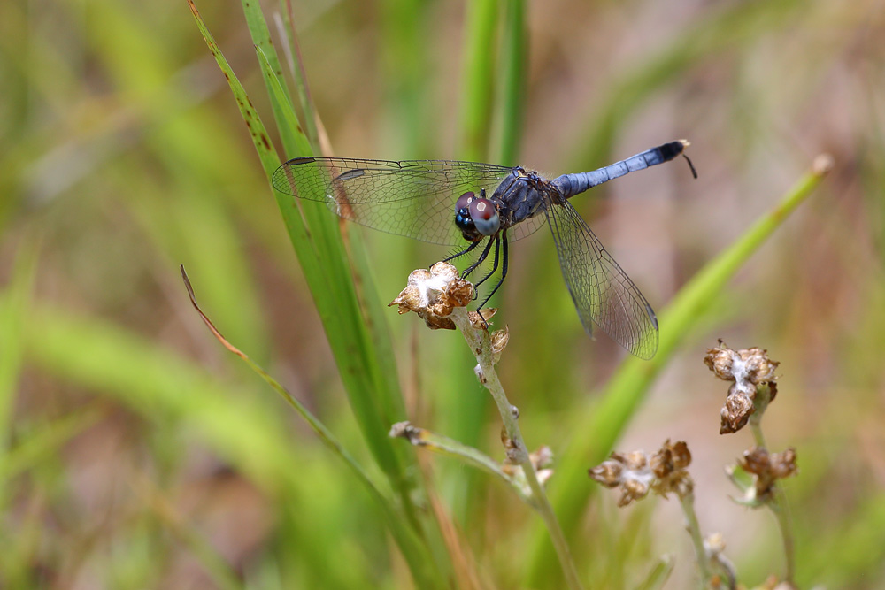
Little Blue Dragonlet

Gus Engeling W.M.A. in Anderson County

Ange's Runway

Libellula flavida

Celithemis fasciata

Argia bipunctulata
Erythrodiplax minuscula

Libellula flavida

Libellula flavida, Yellow-sided Skimmer

Libellula flavida, Yellow-sided Skimmer
Topographic Map of Girl Scouts of Northeast Texas - Camp Bette Perot, An, County Rd, Palestine, TX, USA
Find elevation by address:

Places near Girl Scouts of Northeast Texas - Camp Bette Perot, An, County Rd, Palestine, TX, USA:
Montalba
2260 Acr 451
Tennessee Colony
County Rd, Palestine, TX, USA
2106 An County Rd 2213
2106 An County Rd 2213
6784 Fm320
111 Wall Dr
Anderson County
815 Tennessee Ave
Henderson County
Athens, Tx
Larue
TX-60 Loop, Larue, TX, USA
Mary Of Puddin Hill
701 N Church St
109 Timber Dr
Palestine
601 S Sycamore St
119 Waverly Way
Recent Searches:
- Elevation of Fern Rd, Whitmore, CA, USA
- Elevation of 62 Abbey St, Marshfield, MA, USA
- Elevation of Fernwood, Bradenton, FL, USA
- Elevation of Felindre, Swansea SA5 7LU, UK
- Elevation of Leyte Industrial Development Estate, Isabel, Leyte, Philippines
- Elevation of W Granada St, Tampa, FL, USA
- Elevation of Pykes Down, Ivybridge PL21 0BY, UK
- Elevation of Jalan Senandin, Lutong, Miri, Sarawak, Malaysia
- Elevation of Bilohirs'k
- Elevation of 30 Oak Lawn Dr, Barkhamsted, CT, USA