Elevation of Lappans Rd, Boonsboro, MD, USA
Location: United States > Maryland > Washington County > 6, Boonsboro > Boonsboro >
Longitude: -77.68558
Latitude: 39.528362
Elevation: 162m / 531feet
Barometric Pressure: 99KPa
Elevation Map:
Satellite Map:
Related Photos:

Upstream view of Town Run, Shepherdstown, West Virginia
0189 Shepherdstown, WV
Cornfield, Antietam, rail fence
Bloody Lane, Antietam
Antietam National Battlefield - View of Bloody Lane from the Observation Tower

_RWB6124.jpg
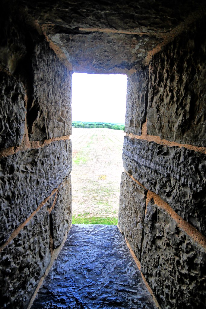
View out another window
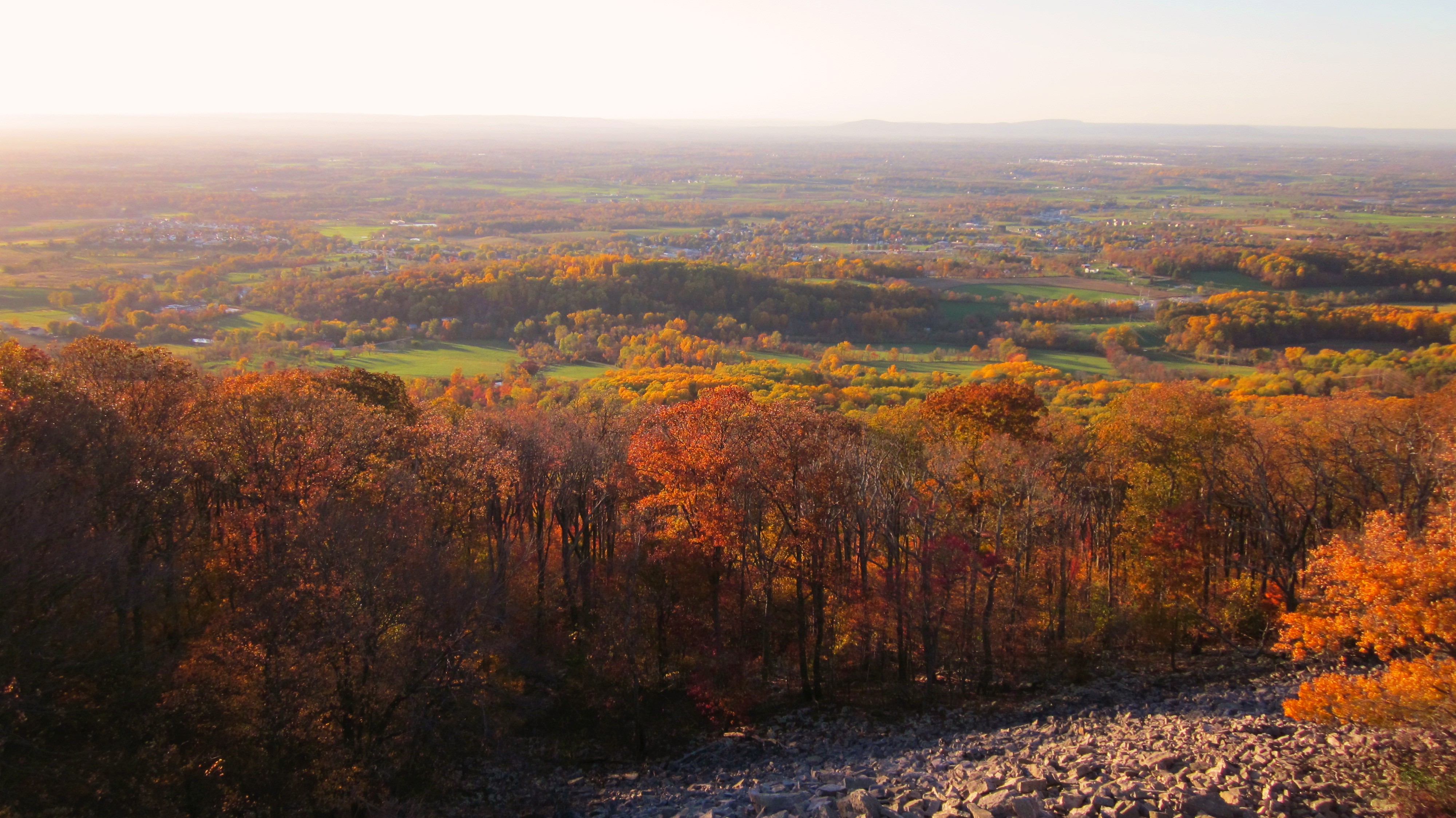
Afternoon view from the Washington Monument on South Mountain, Maryland

_RWB6215-Edit-Edit-2-Edit-Edit.jpg
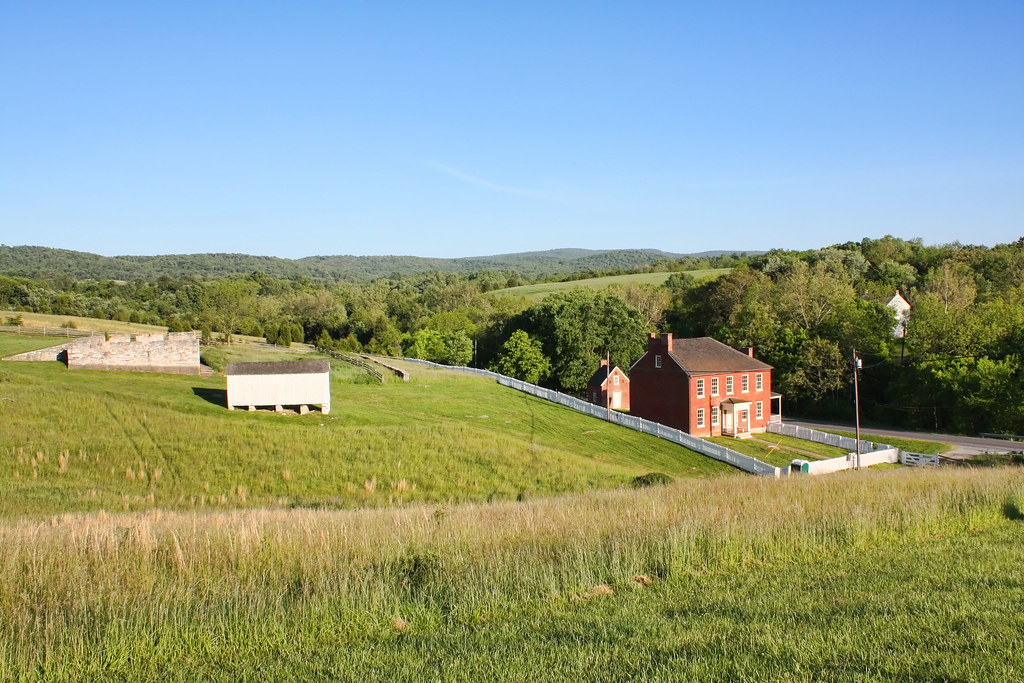
Sherrick Farm
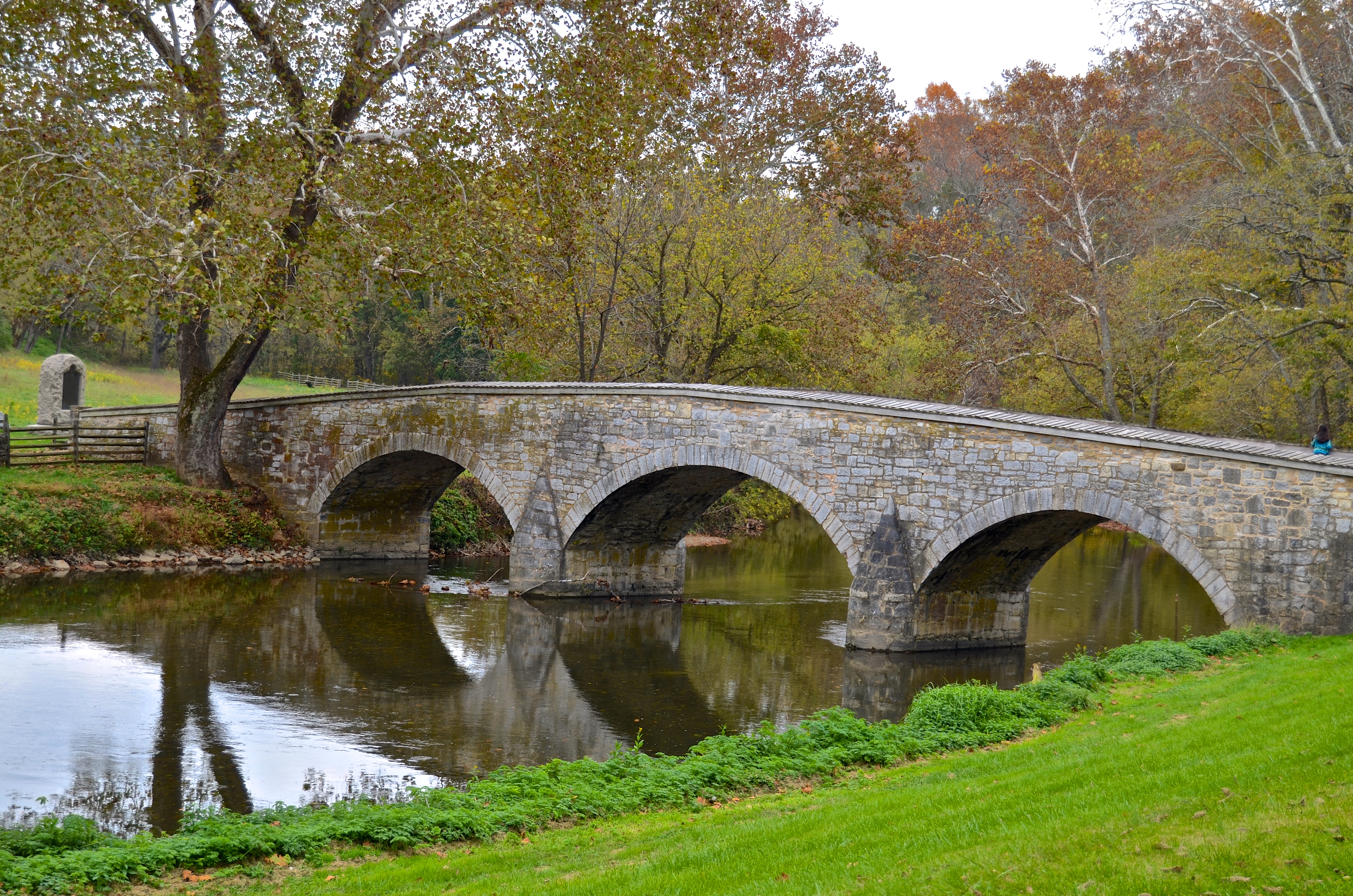
Burnside's Bridge, Antietam Creek
View from the Mumma Farm

Today's Obligatory Snow Picture

Merlin! Where are you? Call your dragon to weave a mist to hide us!
View towards the East Woods
Burnside's Bridge
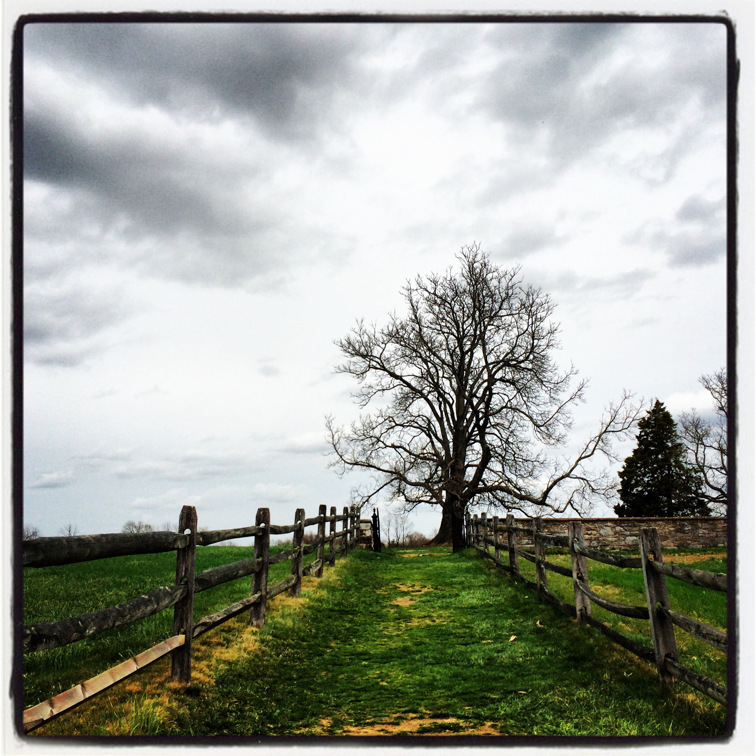
The Lane

Conococheaque Aqueduct Arch

Antietam National Battlefield Luminaries
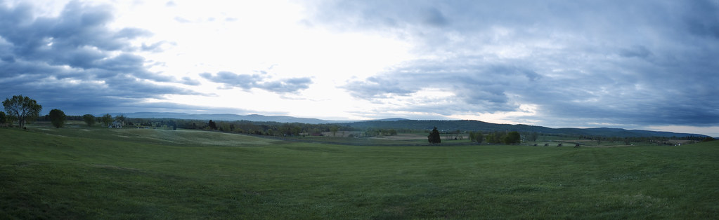
3 shot Pano of the Antietam Battlefield

Greenbriar Lake

ANTIETAM BLOODY LANE SUNDOWN

Fall reflections

Greenbrier Lake, Boonsboro Maryland

Burnside Bridge
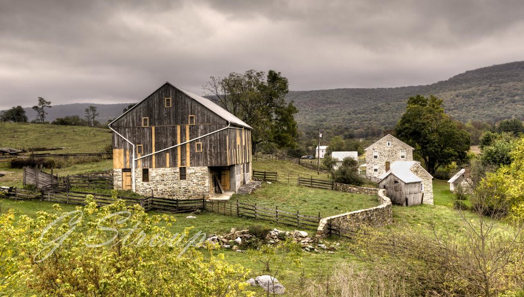
Fine Old Barn with Fresh Repairs

A lakefront gazebo overlooking Greenbrier Lake

Sundown over Greenbrier Lake at Greenbrier State Park, Maryland
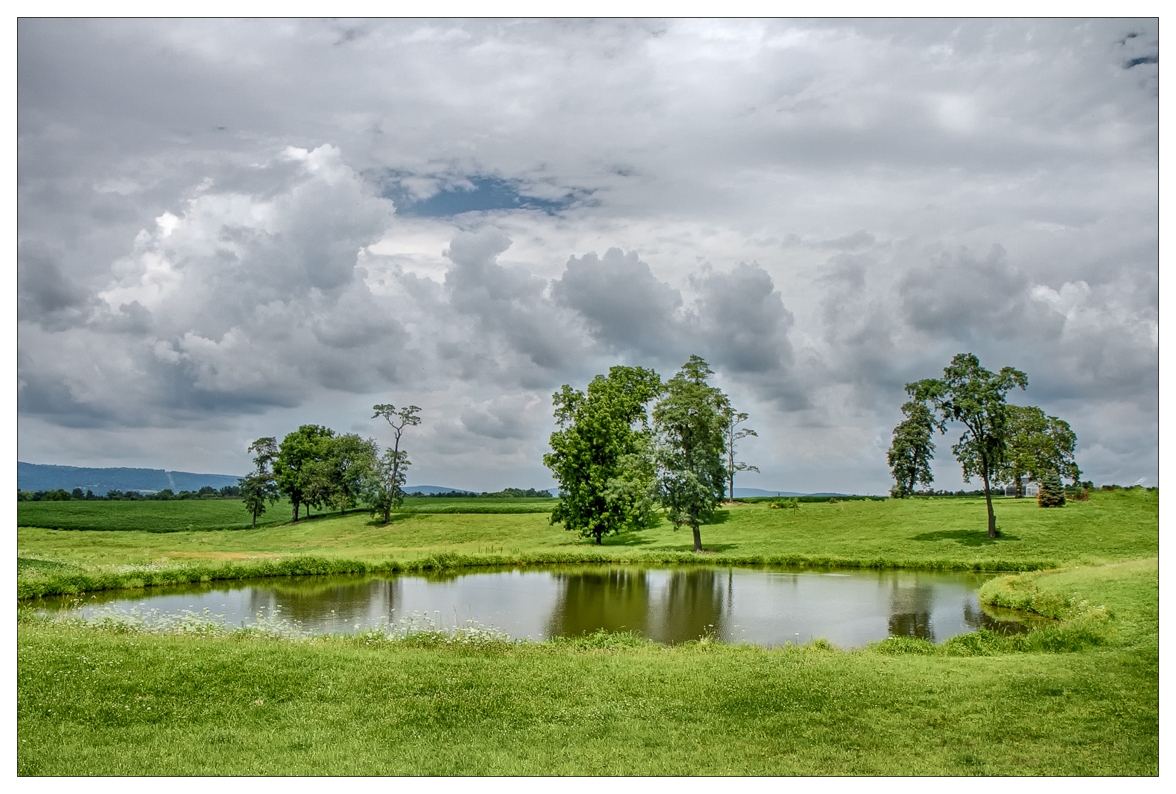
{209/365} Farm pond

Agriculture is never far away

0461 Red-bellied Woodpecker, Shepherdstown, WV

Antietam Battlefield - 2010-04-27 (79)

Antietam Sunset

Brick and canon
Path to the Mumma Cemetery at Antietam

Town Run at the Princess Street riverfront in Shepherdstown, WV
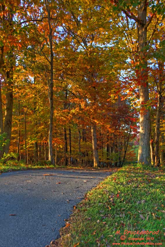
An Autumn Drive
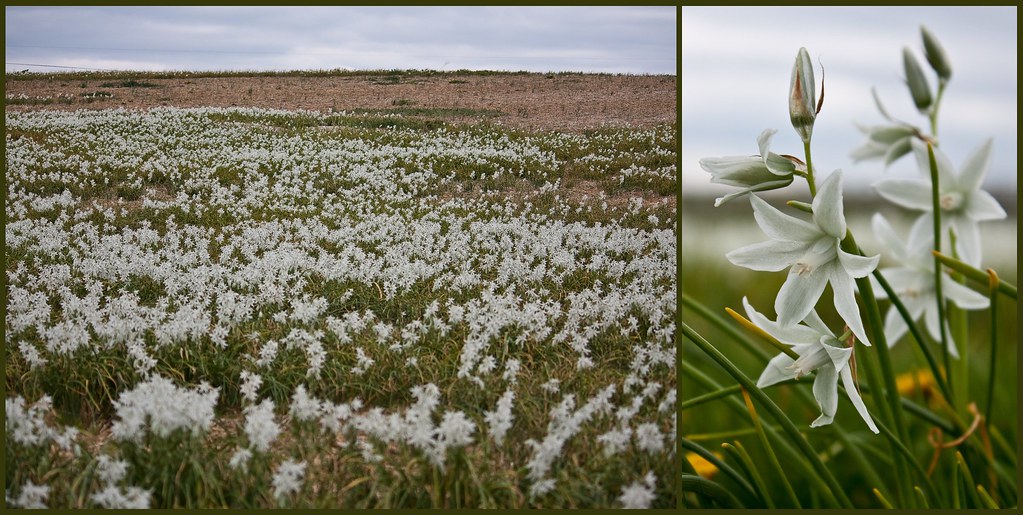
Antietam Flowers

Burnside Bridge night photo, Antietam Battlefield Maryland

Devils Backbone Park, Boonsboro MD waterfall

Cornfield, Antietam, remembering September 17, 1862
Topographic Map of Lappans Rd, Boonsboro, MD, USA
Find elevation by address:

Places near Lappans Rd, Boonsboro, MD, USA:
6, Boonsboro
405 Green Fern Cir
Mapleville Rd, Boonsboro, MD, USA
Boonsboro
20131 Dogstreet Rd
Annapolis Rock/black Rock Cliff
Woodstock Ln, Rohrersville, MD, USA
Mt Briar Rd, Keedysville, MD, USA
Pleasant Walk Rd, Myersville, MD, USA
4325 Main St
Rohrersville
Main St, Rohrersville, MD, USA
Mt Tabor Rd, Middletown, MD, USA
Old National Pike, Middletown, MD, USA
8, Rohrersville
Mountain Church Rd, Middletown, MD, USA
Myersville
1929 Mountain Church Rd
Wolfsville Road
Lockwood Dr, Middletown, MD, USA
Recent Searches:
- Elevation of Corso Fratelli Cairoli, 35, Macerata MC, Italy
- Elevation of Tallevast Rd, Sarasota, FL, USA
- Elevation of 4th St E, Sonoma, CA, USA
- Elevation of Black Hollow Rd, Pennsdale, PA, USA
- Elevation of Oakland Ave, Williamsport, PA, USA
- Elevation of Pedrógão Grande, Portugal
- Elevation of Klee Dr, Martinsburg, WV, USA
- Elevation of Via Roma, Pieranica CR, Italy
- Elevation of Tavkvetili Mountain, Georgia
- Elevation of Hartfords Bluff Cir, Mt Pleasant, SC, USA