Elevation of Myersville, MD, USA
Location: United States > Maryland > Frederick County > 16, Jackson >
Longitude: -77.566377
Latitude: 39.5051006
Elevation: 202m / 663feet
Barometric Pressure: 99KPa
Elevation Map:
Satellite Map:
Related Photos:

Longing For Color
Bloody Lane, Antietam

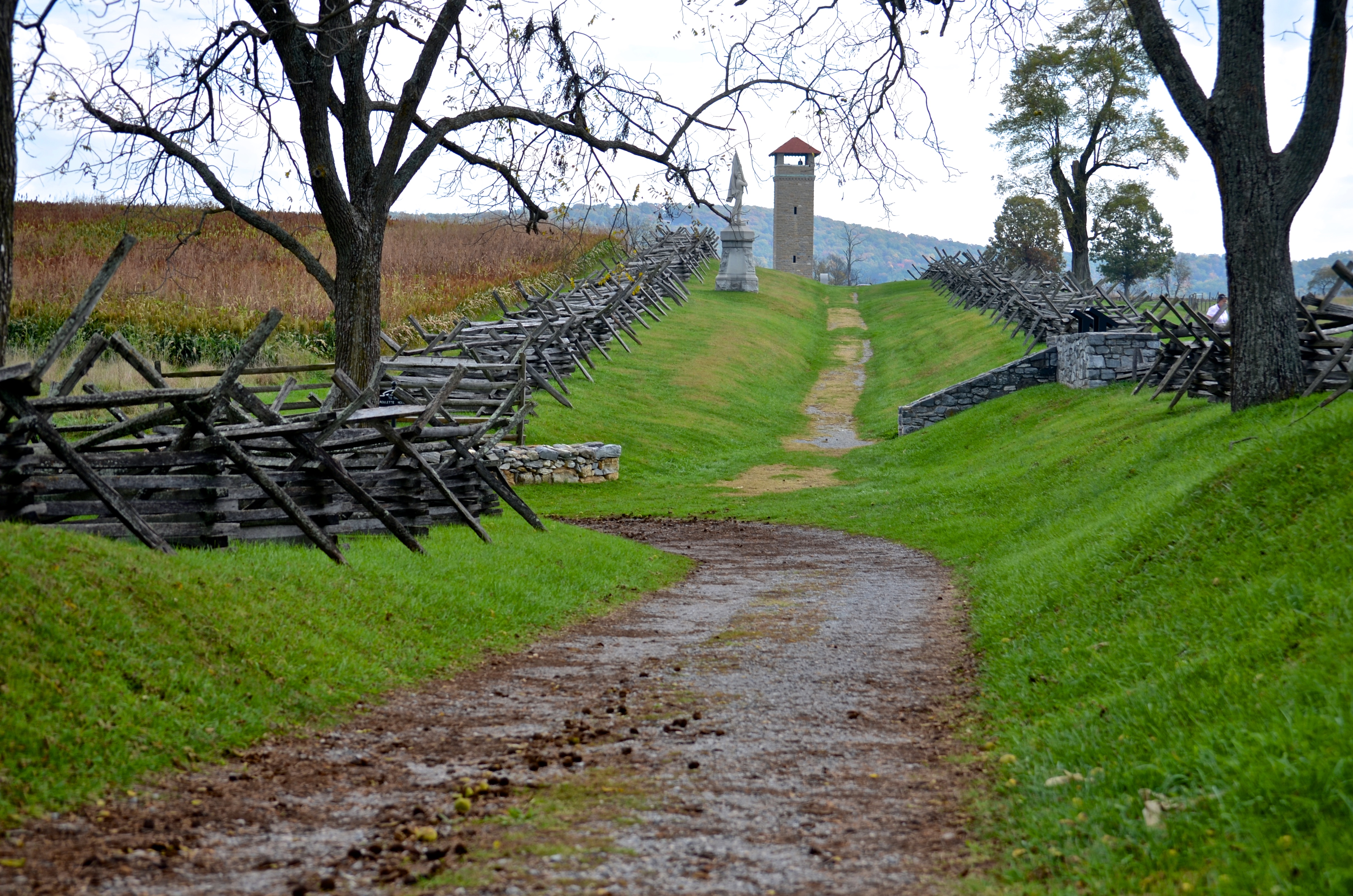
Cornfield, Antietam, rail fence

Antietam National Battlefield - View of Bloody Lane from the Observation Tower

_RWB6124.jpg

_RWB6215-Edit-Edit-2-Edit-Edit.jpg
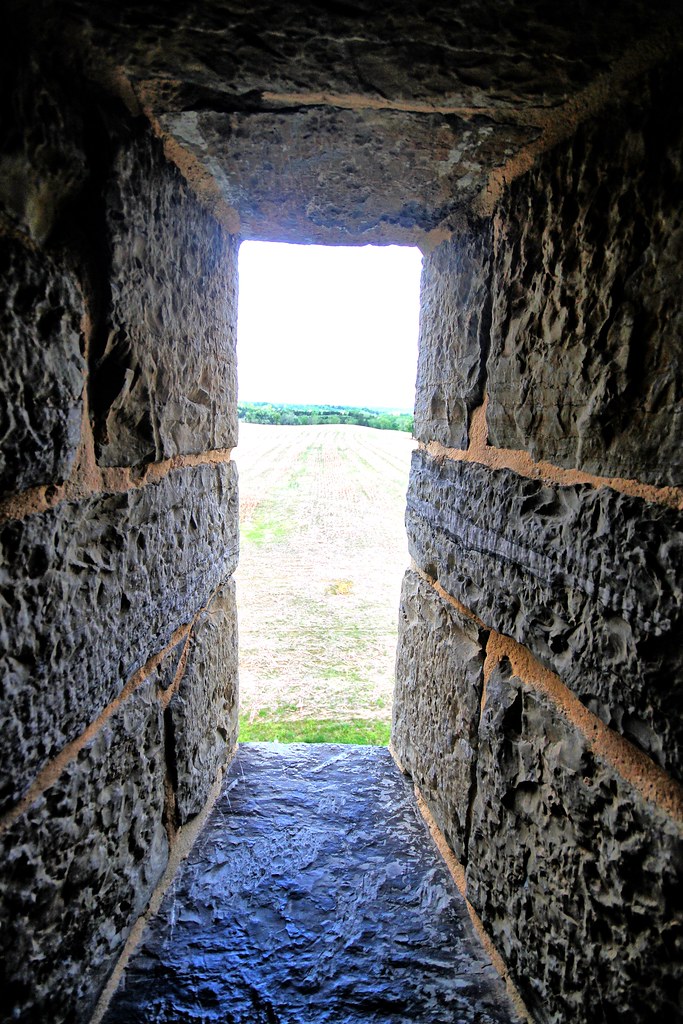
View out another window
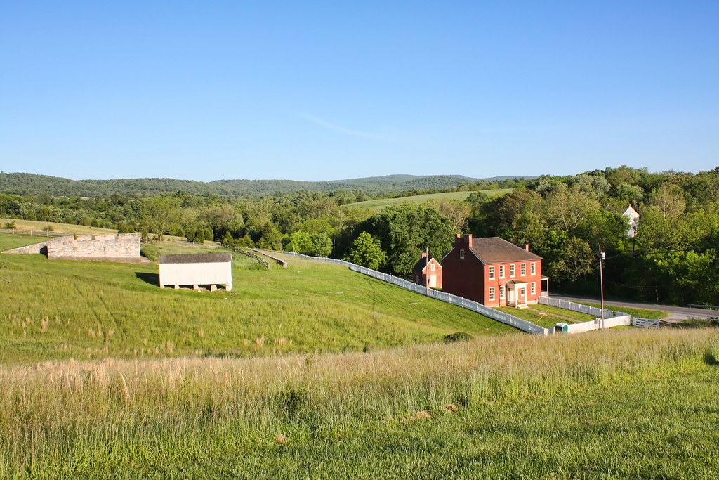
Sherrick Farm

Burnside's Bridge, Antietam Creek

Dream a big dream with me...

View from the Mumma Farm

Burnside's Bridge

Taking Watch

Greenbriar Lake

Rear View

Behind Dunker Church
3 shot Pano of the Antietam Battlefield
Burnside's Bridge

The Sunken Road
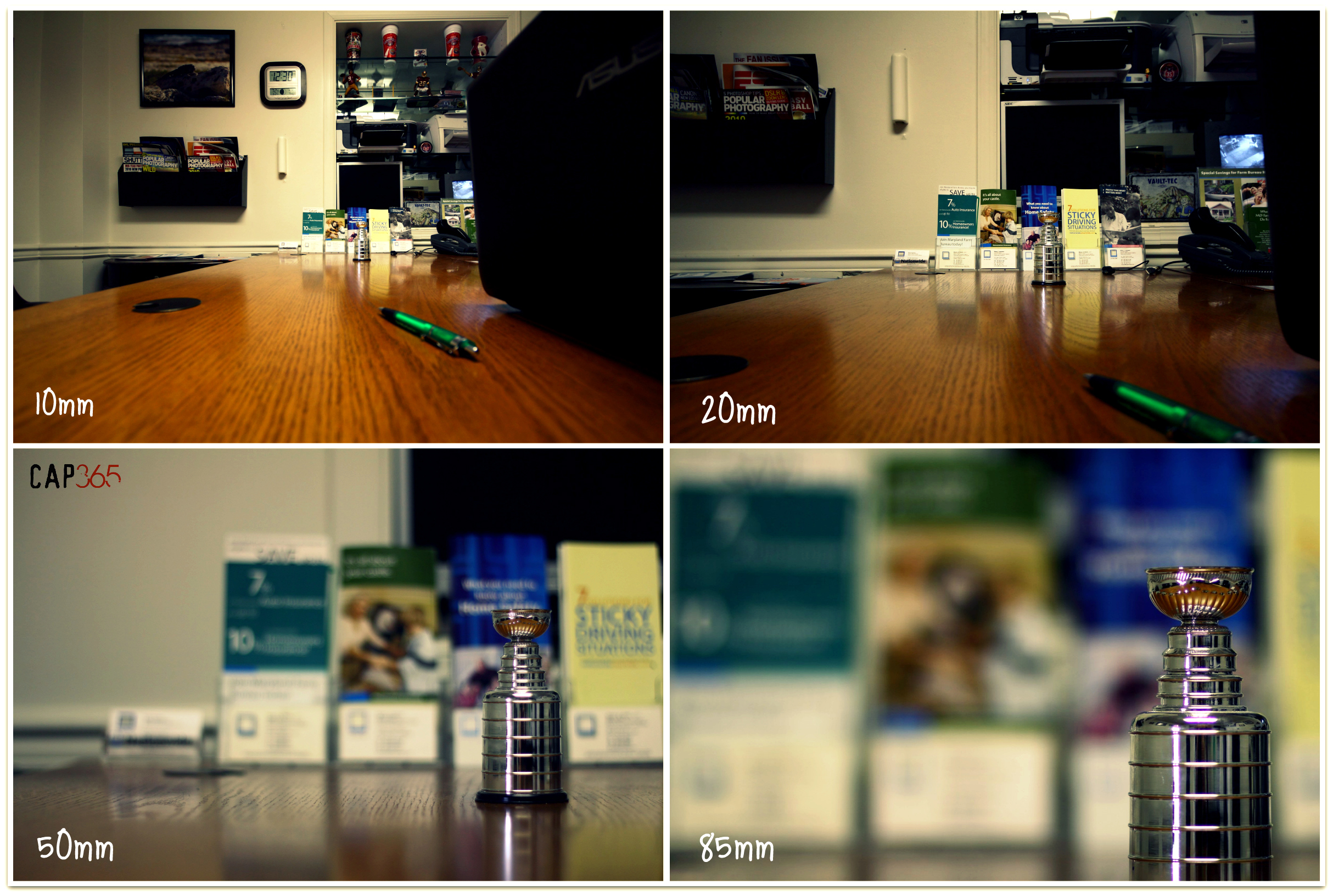
43/365 - One Subject:Four Focal Lengths

Tabby enjoys quiet view from her back window. Whenever I vacuum around her perch, I carefully put it back to the same position so that her view to the beautiful landscape remains undisturbed while I'm out for work or whatever. Tabby is a lioness to me

ANTIETAM BLOODY LANE SUNDOWN

_RWB6254-Edit-Edit.jpg

Fall reflections

A lakefront gazebo overlooking Greenbrier Lake

Sundown over Greenbrier Lake at Greenbrier State Park, Maryland

Greenbrier Lake, Boonsboro Maryland

Antietam Battlefield - 2010-04-27 (79)

Agriculture is never far away

Agriculture is never far away II

An Autumn Drive

Brick and canon

Antietam Flowers

Cornfield, Antietam, September 17, 1862

{314/365} Closed for the season

Burnside Bridge night photo, Antietam Battlefield Maryland

Walkway to the cemetary

Antietam Battlefield - 2010-04-27 (107)

Canons II

Day 61/365. Vast fields of monotony

Devils Backbone Park, Boonsboro MD waterfall

Country Drivin w/ @mrubee
Topographic Map of Myersville, MD, USA
Find elevation by address:

Places in Myersville, MD, USA:
Places near Myersville, MD, USA:
Wolfsville Road
16, Jackson
Lockwood Dr, Middletown, MD, USA
3926 Wistman Ln
Mt Tabor Rd, Middletown, MD, USA
Pleasant Walk Rd, Myersville, MD, USA
Old National Pike, Middletown, MD, USA
Westchester Ct, Middletown, MD, USA
4239 Crow Rock Rd
Annapolis Rock/black Rock Cliff
4310 Crow Rock Rd
11130 Wolfsville Rd
2703 Old National Pike
Meeting House Road
3906 Valley View Rd
3, Middletown
4100 Valley View Rd
3919 Valley View Rd
Hawbottom Road
4005 Valley View Rd
Recent Searches:
- Elevation of Corso Fratelli Cairoli, 35, Macerata MC, Italy
- Elevation of Tallevast Rd, Sarasota, FL, USA
- Elevation of 4th St E, Sonoma, CA, USA
- Elevation of Black Hollow Rd, Pennsdale, PA, USA
- Elevation of Oakland Ave, Williamsport, PA, USA
- Elevation of Pedrógão Grande, Portugal
- Elevation of Klee Dr, Martinsburg, WV, USA
- Elevation of Via Roma, Pieranica CR, Italy
- Elevation of Tavkvetili Mountain, Georgia
- Elevation of Hartfords Bluff Cir, Mt Pleasant, SC, USA