Elevation of Lapile Township, AR, USA
Location: United States > Arkansas > Union County >
Longitude: -92.243348
Latitude: 33.0813116
Elevation: 37m / 121feet
Barometric Pressure: 101KPa
Elevation Map:
Satellite Map:
Related Photos:
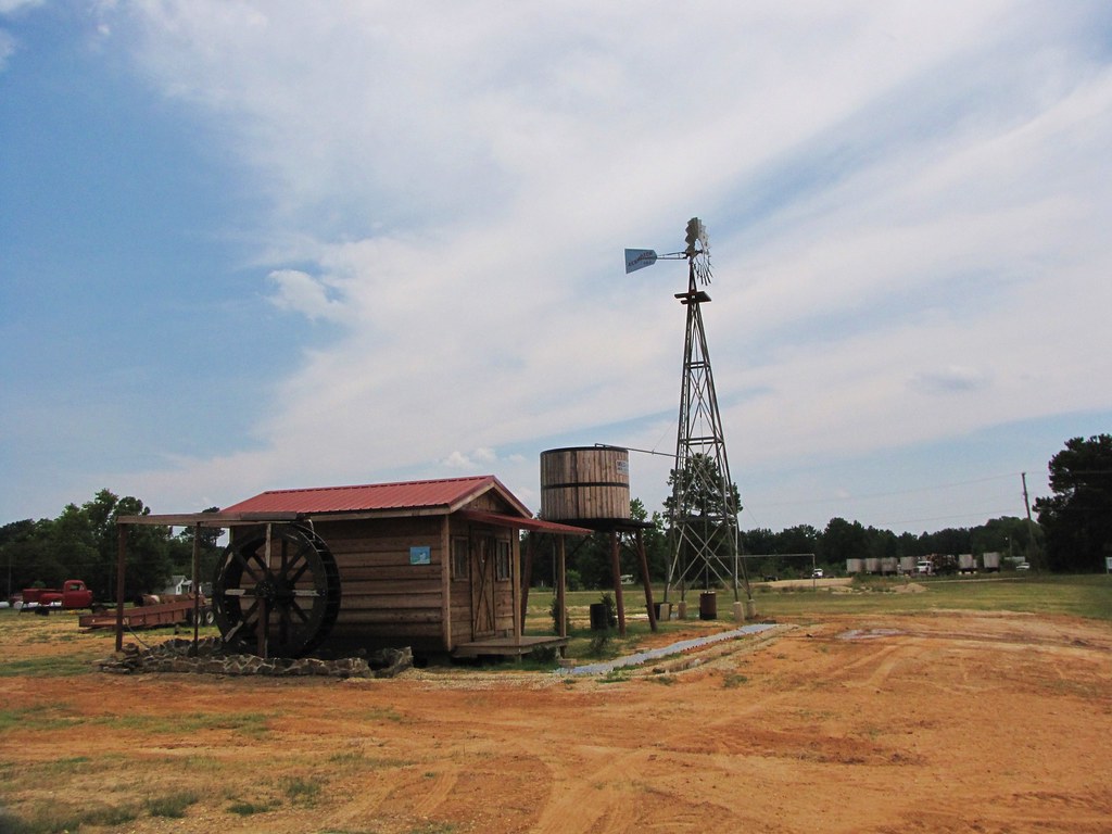
IMG_1727

IMG_1728
Red-cockaded Woodpecker colony

Houstonia pusilla (Least Bluet) 1 more below

Kansas Richard, Williams,White
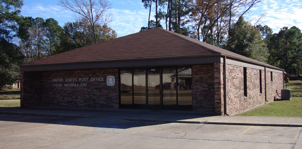
Post Office 71765 (Strong, Arkansas)

ZoneTag Photo Thursday 09:23:48
Topographic Map of Lapile Township, AR, USA
Find elevation by address:

Places in Lapile Township, AR, USA:
Places near Lapile Township, AR, USA:
Olin Ave, Huttig, AR, USA
Huttig
1217 T Ave W
US-82, Crossett, AR, USA
Sand Slough
Lawson Rd, El Dorado, AR, USA
River Township
4411 Coronet St
Egypt Township
West Crossett
US-82, Crossett, AR, USA
Johnson Township
1706 S Louisiana St
Hancock Road
Crossett
Hancock Rd, Crossett, AR, USA
135 Adkins Rd
Union County
3, LA, USA
Mill Creek Township
Recent Searches:
- Elevation of Corso Fratelli Cairoli, 35, Macerata MC, Italy
- Elevation of Tallevast Rd, Sarasota, FL, USA
- Elevation of 4th St E, Sonoma, CA, USA
- Elevation of Black Hollow Rd, Pennsdale, PA, USA
- Elevation of Oakland Ave, Williamsport, PA, USA
- Elevation of Pedrógão Grande, Portugal
- Elevation of Klee Dr, Martinsburg, WV, USA
- Elevation of Via Roma, Pieranica CR, Italy
- Elevation of Tavkvetili Mountain, Georgia
- Elevation of Hartfords Bluff Cir, Mt Pleasant, SC, USA