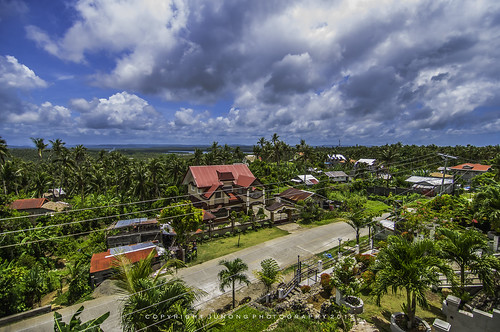
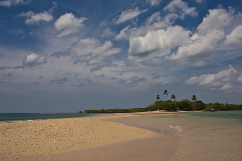
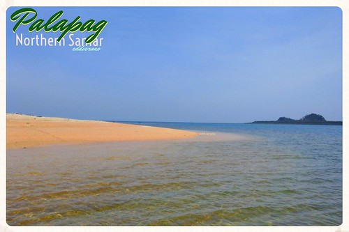
Elevation of Laoang, Northern Samar, Philippines
Location: Philippines > Eastern Visayas > Northern Samar >
Longitude: 125.016786
Latitude: 12.6198618
Elevation: 0m / 0feet
Barometric Pressure: 101KPa
Related Photos:
Topographic Map of Laoang, Northern Samar, Philippines
Find elevation by address:

Places near Laoang, Northern Samar, Philippines:
Lao-angan
San Roque
Northern Samar
Eastern Visayas
Samar Island
Matuguinao
San Jose De Buan
Hilumot Elementary School
Cataydongan
Catbalogan City
Capul Island
Municipality Of Capul
Brgy. Sugod
Tagapul-an Central School
Samar
Calabad Elementary School
Cataingan
Dimasalang
San Mateo
Bachao
Recent Searches:
- Elevation of Corso Fratelli Cairoli, 35, Macerata MC, Italy
- Elevation of Tallevast Rd, Sarasota, FL, USA
- Elevation of 4th St E, Sonoma, CA, USA
- Elevation of Black Hollow Rd, Pennsdale, PA, USA
- Elevation of Oakland Ave, Williamsport, PA, USA
- Elevation of Pedrógão Grande, Portugal
- Elevation of Klee Dr, Martinsburg, WV, USA
- Elevation of Via Roma, Pieranica CR, Italy
- Elevation of Tavkvetili Mountain, Georgia
- Elevation of Hartfords Bluff Cir, Mt Pleasant, SC, USA
