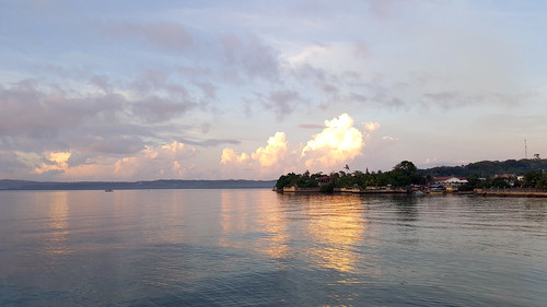
Elevation of Cataingan, Masbate, Philippines
Location: Philippines > Bicol > Masbate >
Longitude: 123.952703
Latitude: 11.9858771
Elevation: 95m / 312feet
Barometric Pressure: 100KPa
Related Photos:
Topographic Map of Cataingan, Masbate, Philippines
Find elevation by address:

Places near Cataingan, Masbate, Philippines:
Dimasalang
Tagapul-an Central School
Brgy. Sugod
Calabad Elementary School
San Mateo
Uson
Capul Island
Municipality Of Capul
Maya
Basud
Tinocdugan
Bachao
Kawayan
Maanda
Catmon
Unnamed Road
Tabango
Palid I (ilawod)
Palid Ii Elementary School
Leyte
Recent Searches:
- Elevation of Corso Fratelli Cairoli, 35, Macerata MC, Italy
- Elevation of Tallevast Rd, Sarasota, FL, USA
- Elevation of 4th St E, Sonoma, CA, USA
- Elevation of Black Hollow Rd, Pennsdale, PA, USA
- Elevation of Oakland Ave, Williamsport, PA, USA
- Elevation of Pedrógão Grande, Portugal
- Elevation of Klee Dr, Martinsburg, WV, USA
- Elevation of Via Roma, Pieranica CR, Italy
- Elevation of Tavkvetili Mountain, Georgia
- Elevation of Hartfords Bluff Cir, Mt Pleasant, SC, USA


