Elevation of Leyte, Philippines
Location: Philippines > Eastern Visayas > Leyte >
Longitude: 124.464184
Latitude: 11.3496551
Elevation: 13m / 43feet
Barometric Pressure: 101KPa
Elevation Map:
Satellite Map:
Related Photos:

WOW BOAT

Nipa to cement blocks

Biliran Bridge
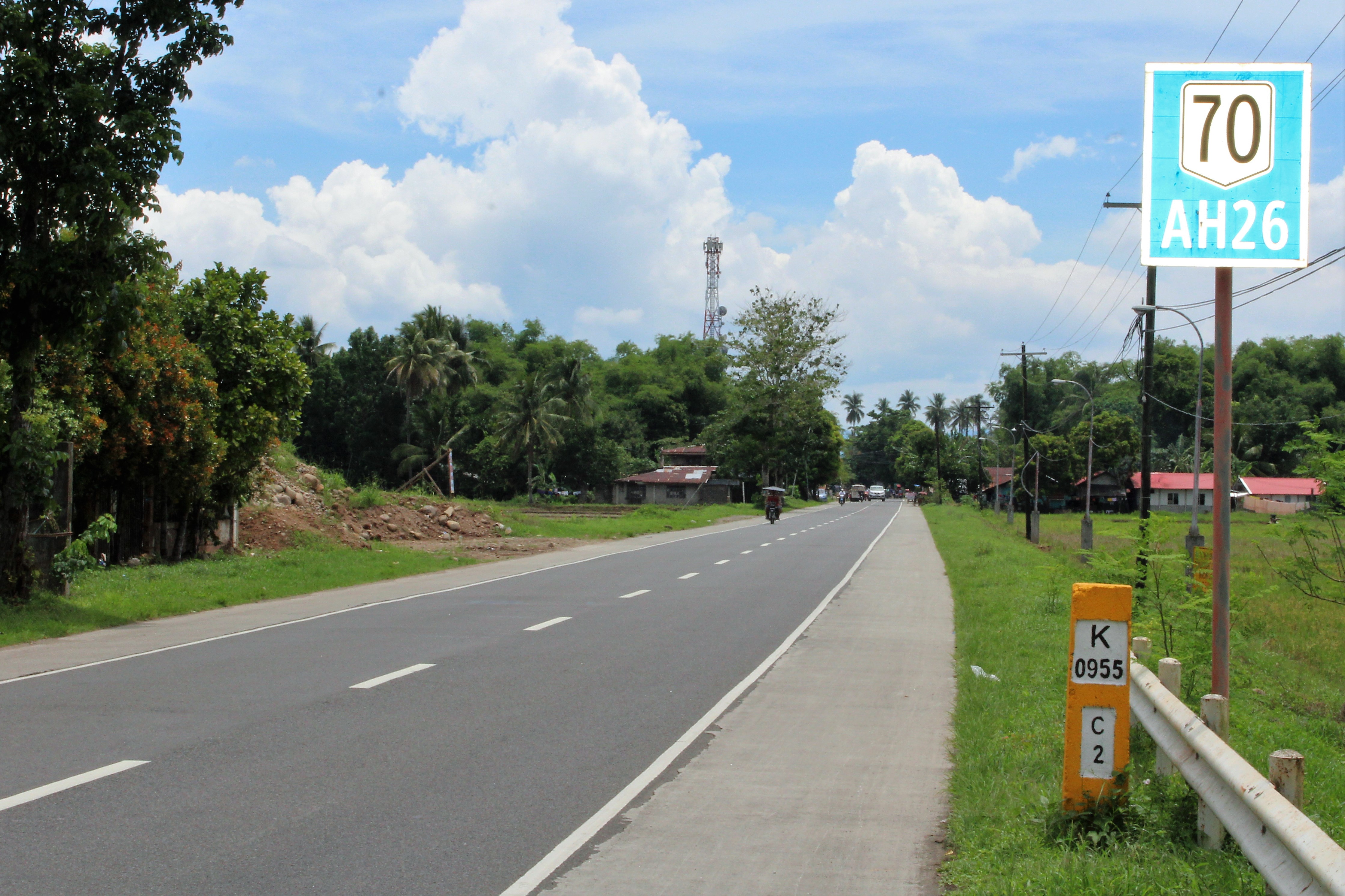
2 KILOMETERS TO CARIGARA

TO CARIGARA

PLAYTIME AND SLEEPING TIME
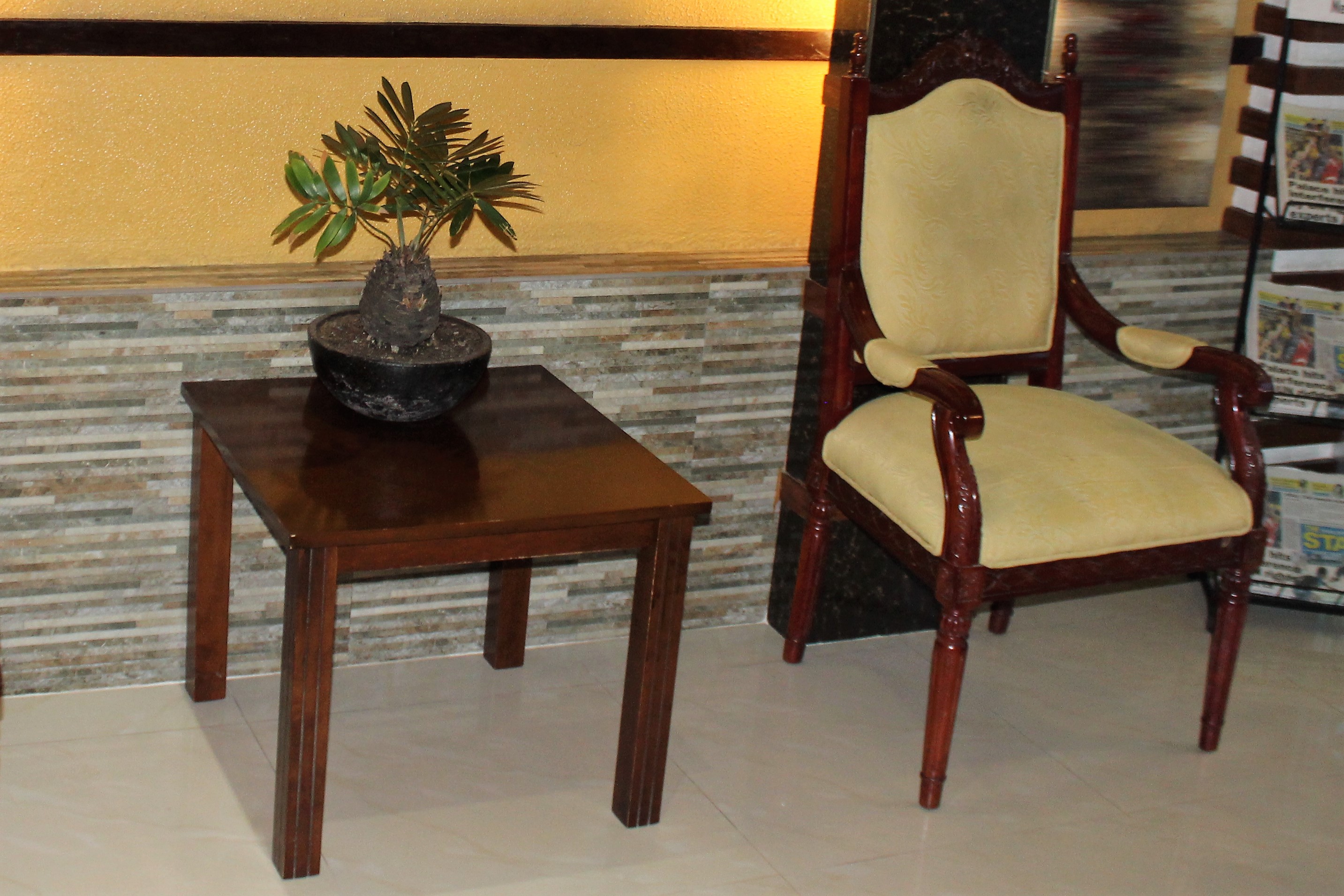
TABLE AND CHAIR

ROAD TO KANANGA

BANANA TREES

BLURRING THE FLOWERS

BY THE ROAD

WOW BILIRAN
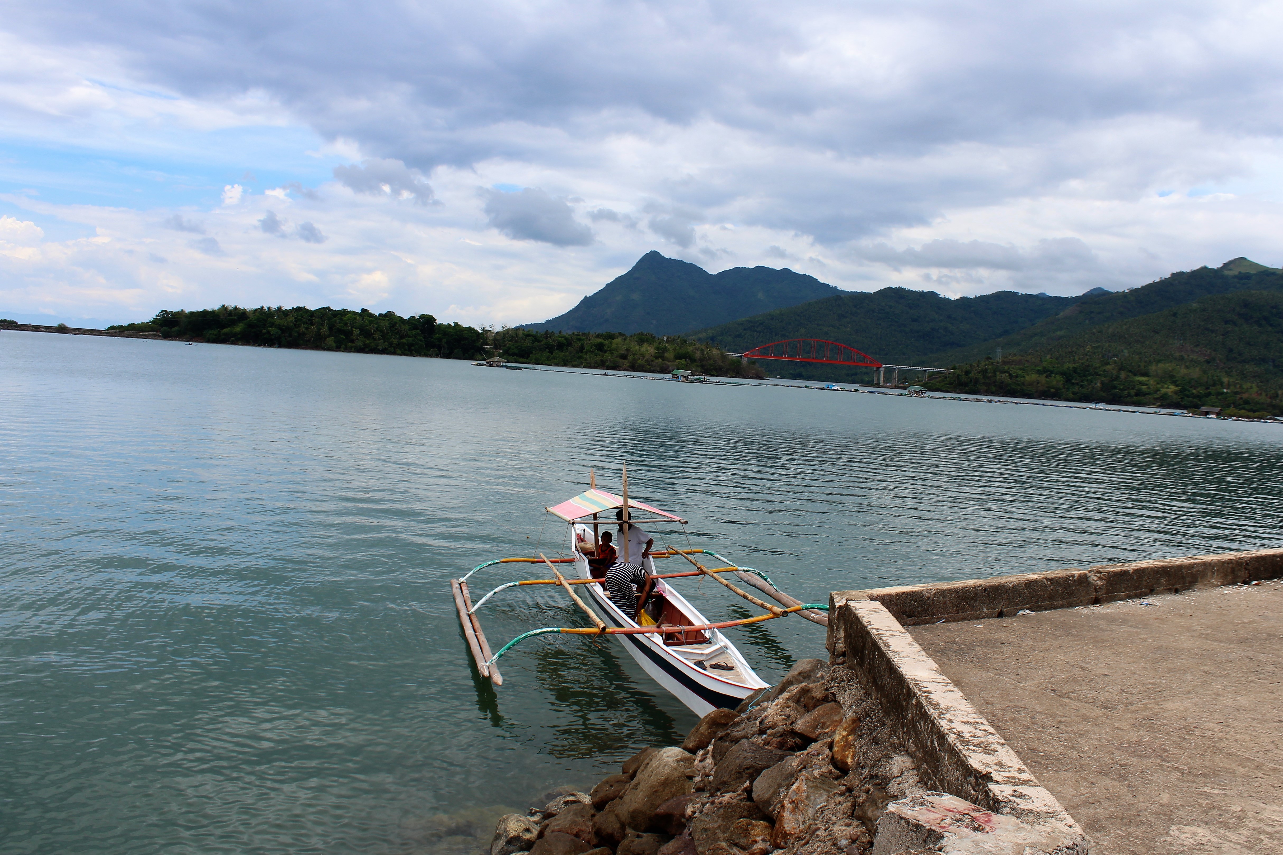
TRAVEL BY SEA

TO ORMOC

TOWN HALL

THE BOATS

STREET SCENE

SEA AND MOUNTAIN

POLICE CAR

RURAL SCENE

OLD HOUSE

MOTHER & DAUGHTER

MUNICIPAL HALL
Topographic Map of Leyte, Philippines
Find elevation by address:

Places near Leyte, Philippines:
Palid I (ilawod)
Elizabeth
Salog
Palid Ii Elementary School
Wague
Consuegra
Belen
Danus
Kawayan
Ugbon
Maanda
Tabango
Tag-abaca
Bachao
Catmon
Tinocdugan
Unnamed Road
Tapol
Basud
Barugo
Recent Searches:
- Elevation of Corso Fratelli Cairoli, 35, Macerata MC, Italy
- Elevation of Tallevast Rd, Sarasota, FL, USA
- Elevation of 4th St E, Sonoma, CA, USA
- Elevation of Black Hollow Rd, Pennsdale, PA, USA
- Elevation of Oakland Ave, Williamsport, PA, USA
- Elevation of Pedrógão Grande, Portugal
- Elevation of Klee Dr, Martinsburg, WV, USA
- Elevation of Via Roma, Pieranica CR, Italy
- Elevation of Tavkvetili Mountain, Georgia
- Elevation of Hartfords Bluff Cir, Mt Pleasant, SC, USA