Elevation map of Langkat Regency, North Sumatra, Indonesia
Location: Indonesia > North Sumatra >
Longitude: 98.3088441
Latitude: 3.8653916
Elevation: 45m / 148feet
Barometric Pressure: 101KPa
Elevation Map:
Satellite Map:
Related Photos:

Raising funds

Raising funds
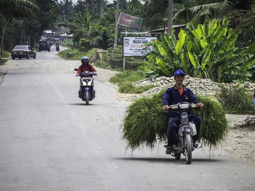
Transport by motorbike

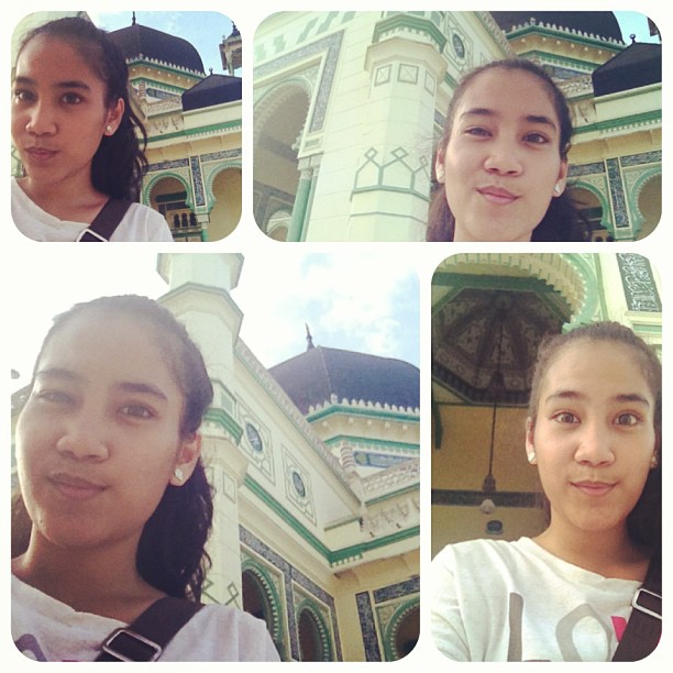
With my sista •﹏•

The Killer
gorgeous mosque
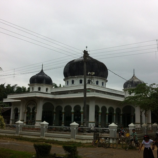
Mesjid Kampungku
Camera Roll-40
Topographic Map of Langkat Regency, North Sumatra, Indonesia
Find elevation by address:

Places in Langkat Regency, North Sumatra, Indonesia:
Places near Langkat Regency, North Sumatra, Indonesia:
Bukit Lawang
Bohorok
Gunung Bandahara
Hutan
Ketambe
Kutacane City
Kutacane
Babussalam
Kuta Gugung
Leuser
Naman Teran
Kuta Pengkih
Mount Sinabung
Martelu
Karo Regency
Lau Baleng
Tiga Binanga
Mbal-mbal Petarum
Lau Peradep
Kinangkong
Recent Searches:
- Elevation of Corso Fratelli Cairoli, 35, Macerata MC, Italy
- Elevation of Tallevast Rd, Sarasota, FL, USA
- Elevation of 4th St E, Sonoma, CA, USA
- Elevation of Black Hollow Rd, Pennsdale, PA, USA
- Elevation of Oakland Ave, Williamsport, PA, USA
- Elevation of Pedrógão Grande, Portugal
- Elevation of Klee Dr, Martinsburg, WV, USA
- Elevation of Via Roma, Pieranica CR, Italy
- Elevation of Tavkvetili Mountain, Georgia
- Elevation of Hartfords Bluff Cir, Mt Pleasant, SC, USA