Elevation of Leuser, Ketambe, Aceh Tenggara Regency, Aceh, Indonesia
Location: Indonesia > Aceh > Aceh Tenggara Regency > Ketambe >
Longitude: 97.6934772
Latitude: 3.643894
Elevation: -10000m / -32808feet
Barometric Pressure: 0KPa
Related Photos:

Rafflesia micropylora

Bohorok Orangutan Centre

Bohorok Orangutan Centre

Bohorok Orangutan Centre

Bohorok Orangutan Centre
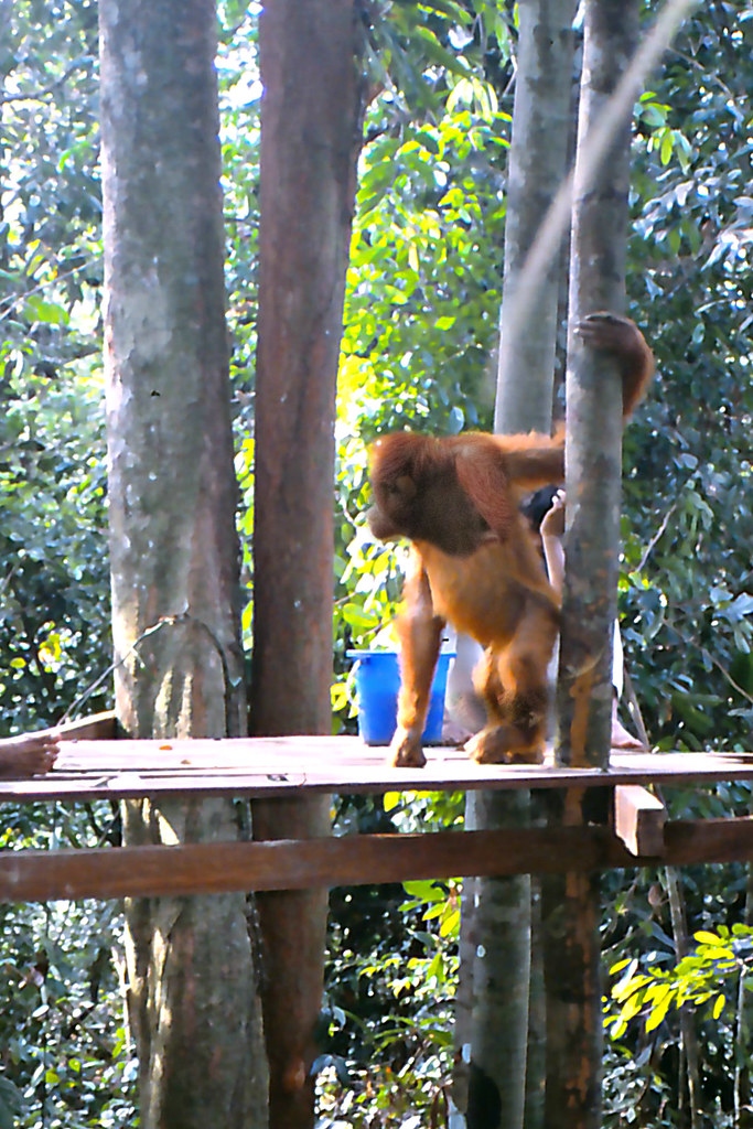
Bohorok Orangutan Centre

Forest Vine

drive around Samosir, Lake Toba

Alas River

Banjir Tahun 2011
Topographic Map of Leuser, Ketambe, Aceh Tenggara Regency, Aceh, Indonesia
Find elevation by address:

Places near Leuser, Ketambe, Aceh Tenggara Regency, Aceh, Indonesia:
Ketambe
Hutan
Gunung Bandahara
Babussalam
Kutacane City
Kutacane
Aceh Tenggara Regency
Bohorok
Blangkejeren
Bukit Lawang
Gayo Lues Regency
South Aceh Regency
Blangkejeren
Kutapanjang
Bener
Mount Leuser
Rainforest Lodges Kedah
Tapak Tuan
Kuta Pengkih
Mbal-mbal Petarum
Recent Searches:
- Elevation map of Greenland, Greenland
- Elevation of Sullivan Hill, New York, New York, 10002, USA
- Elevation of Morehead Road, Withrow Downs, Charlotte, Mecklenburg County, North Carolina, 28262, USA
- Elevation of 2800, Morehead Road, Withrow Downs, Charlotte, Mecklenburg County, North Carolina, 28262, USA
- Elevation of Yangbi Yi Autonomous County, Yunnan, China
- Elevation of Pingpo, Yangbi Yi Autonomous County, Yunnan, China
- Elevation of Mount Malong, Pingpo, Yangbi Yi Autonomous County, Yunnan, China
- Elevation map of Yongping County, Yunnan, China
- Elevation of North 8th Street, Palatka, Putnam County, Florida, 32177, USA
- Elevation of 107, Big Apple Road, East Palatka, Putnam County, Florida, 32131, USA
- Elevation of Jiezi, Chongzhou City, Sichuan, China
- Elevation of Chongzhou City, Sichuan, China
- Elevation of Huaiyuan, Chongzhou City, Sichuan, China
- Elevation of Qingxia, Chengdu, Sichuan, China
- Elevation of Corso Fratelli Cairoli, 35, Macerata MC, Italy
- Elevation of Tallevast Rd, Sarasota, FL, USA
- Elevation of 4th St E, Sonoma, CA, USA
- Elevation of Black Hollow Rd, Pennsdale, PA, USA
- Elevation of Oakland Ave, Williamsport, PA, USA
- Elevation of Pedrógão Grande, Portugal