Elevation of Lamar Rd, Matoaka, WV, USA
| Latitude | 37.4217255 |
|---|---|
| Longitude | -81.2731563 |
| Elevation | 738m / 2421feet |
| Barometric Pressure | 928KPa |
Related Photos:

Centre Street, Pocahontas, Virginia

Princeton Health and Fitness Center Aerial View

Princeton Health and Fitness Center Front View

A View down West Saint Claire Street, Pocahontas, Virginia

Virginia and West Virginia: View from Pinnacle Rock overlook
A shortened perspective

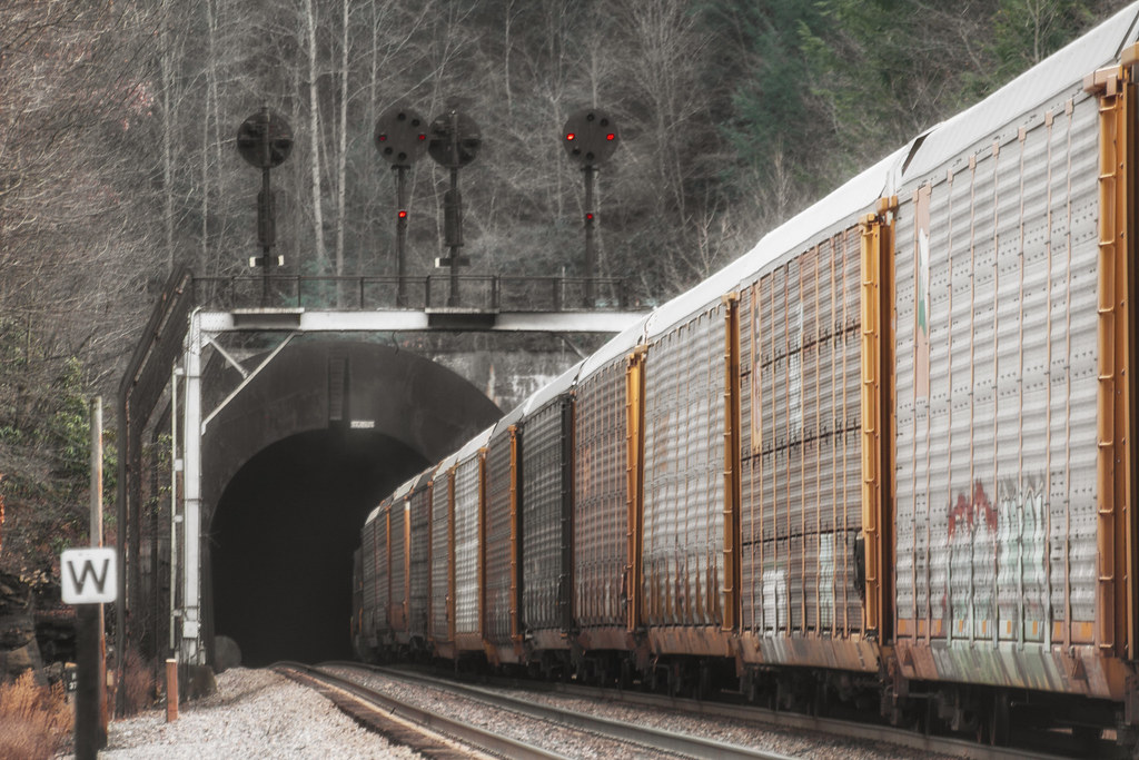
DLW SD70ACe-1074, NS C40-9-8795 E/B at Nemours, WV

Pinnacle Rock State Park

View from Pinnacle Rock

View from my window.... :-(

Marsh Fork Falls

Switchback Heritage Pair

Campbell Falls

Mash Fork Falls

Campbell Falls Upstream Cascade

Campbell Falls

Mash Fork Isolation

Giatto Road
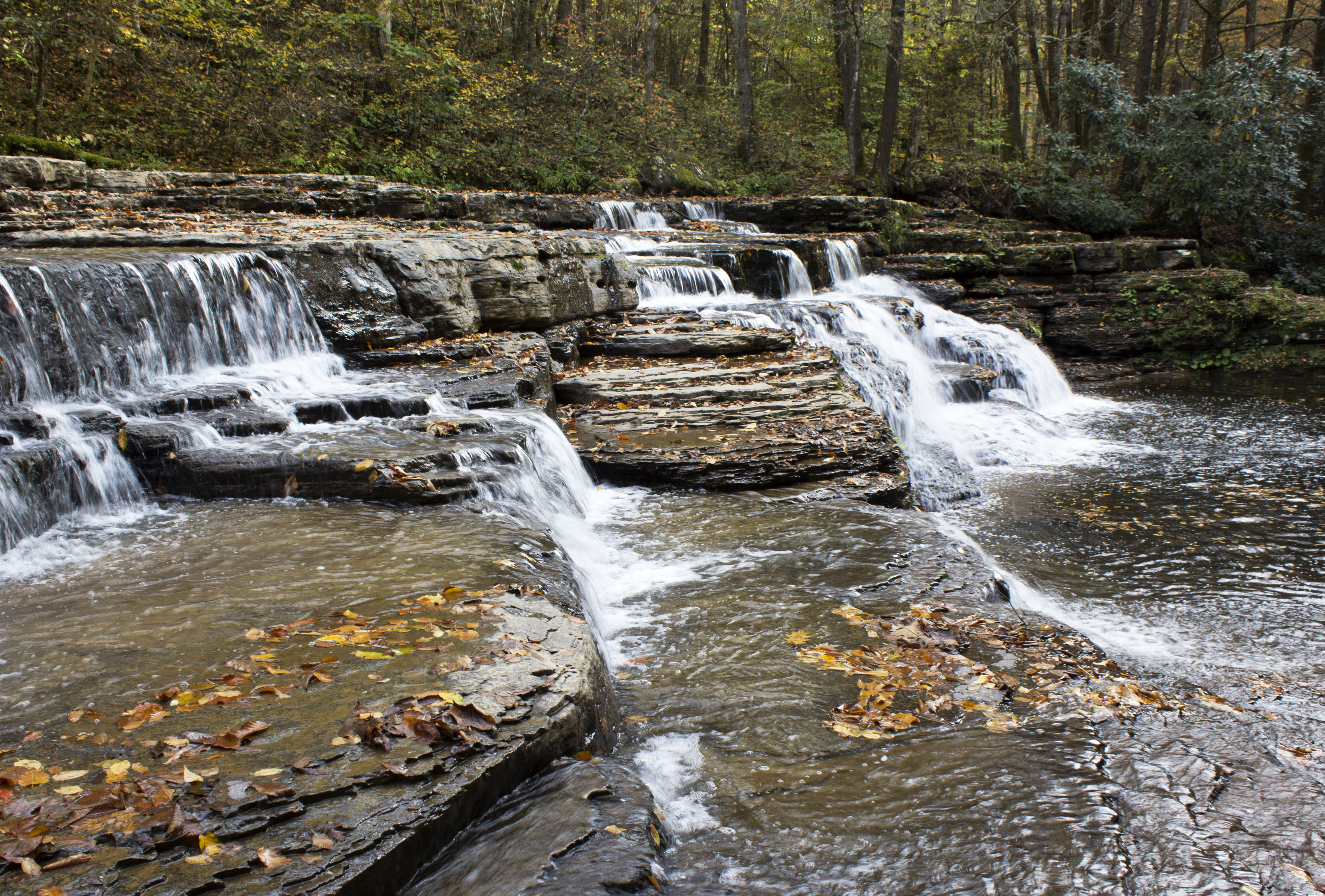
Campbell Falls

Mash Fork Falls

Campbell Falls

Late Afternoon at Mash Fork

Mash Fork Falls

Mash Fork Falls 003

Thread-legged Bug, Subfamily Emesinae, F. Reduviidae

Pinnacle Rock State Park

Mash Fork Falls 002

Bramwell Oktoberfest

Pinnacle Rock State Park
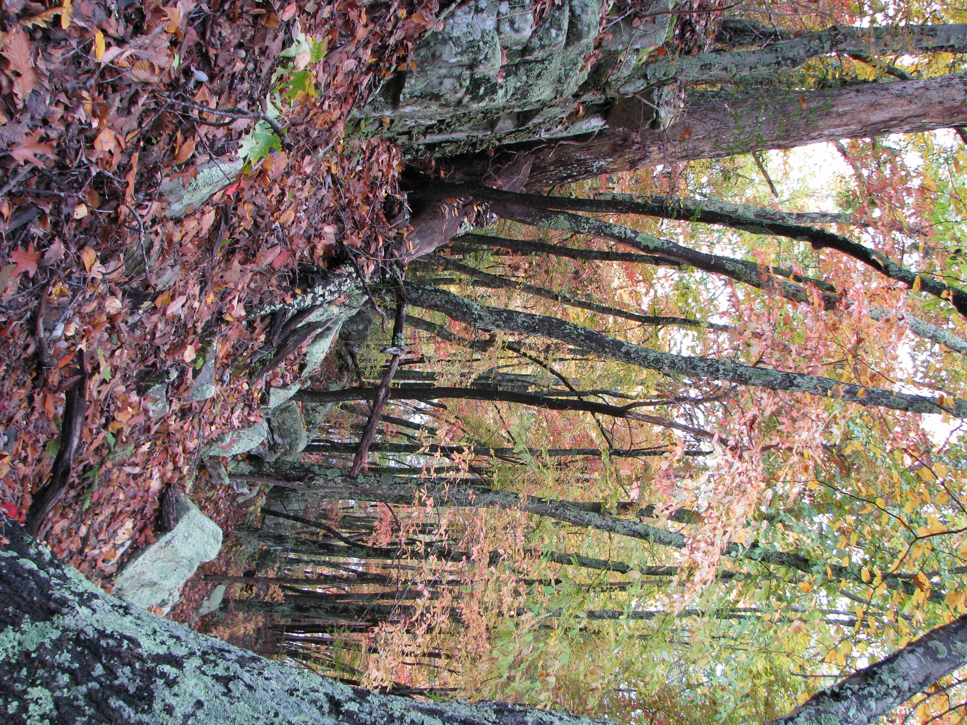
Pinnacle Rock State Park

Pinnacle Rock
Topographic Map of Lamar Rd, Matoaka, WV, USA
Find elevation by address:
Places near Lamar Rd, Matoaka, WV, USA:
613 Co Rte 11
Giatto Road
Matoaka
401 Rimrock Rd
Ashland Resort
Crumpler
Old Rock River Road
1332 Rock Rd
Rock
Pinnacle
Shrader Hollow Rd, Bluefield, WV, USA
Freeman
4191 Sandlick Rd
Buffalo Trails Cabins And Restaurant
1406 Bramwell Hill Rd
1406 Bramwell Hill Rd
1406 Bramwell Hill Rd
1406 Bramwell Hill Rd
Bramwell-coaldale Road
Bramwell
Recent Searches:
- Elevation map of Central Hungary, Hungary
- Elevation map of Pest, Central Hungary, Hungary
- Elevation of Pilisszentkereszt, Pest, Central Hungary, Hungary
- Elevation of Dharamkot Tahsil, Punjab, India
- Elevation of Bhinder Khurd, Dharamkot Tahsil, Punjab, India
- Elevation of 2881, Chabot Drive, San Bruno, San Mateo County, California, 94066, USA
- Elevation of 10370, West 107th Circle, Westminster, Jefferson County, Colorado, 80021, USA
- Elevation of 611, Roman Road, Old Ford, Bow, London, England, E3 2RW, United Kingdom
- Elevation of 116, Beartown Road, Underhill, Chittenden County, Vermont, 05489, USA
- Elevation of Window Rock, Colfax County, New Mexico, 87714, USA
- Elevation of 4807, Rosecroft Street, Kempsville Gardens, Virginia Beach, Virginia, 23464, USA
- Elevation map of Matawinie, Quebec, Canada
- Elevation of Sainte-Émélie-de-l'Énergie, Matawinie, Quebec, Canada
- Elevation of Rue du Pont, Sainte-Émélie-de-l'Énergie, Matawinie, Quebec, J0K2K0, Canada
- Elevation of 8, Rue de Bécancour, Blainville, Thérèse-De Blainville, Quebec, J7B1N2, Canada
- Elevation of Wilmot Court North, 163, University Avenue West, Northdale, Waterloo, Region of Waterloo, Ontario, N2L6B6, Canada
- Elevation map of Panamá Province, Panama
- Elevation of Balboa, Panamá Province, Panama
- Elevation of San Miguel, Balboa, Panamá Province, Panama
- Elevation of Isla Gibraleón, San Miguel, Balboa, Panamá Province, Panama