Elevation of Lalgola, West Bengal, India
Location: India > West Bengal > Murshidabad >
Longitude: 88.2607188
Latitude: 24.4133349
Elevation: 26m / 85feet
Barometric Pressure: 101KPa
Elevation Map:
Satellite Map:
Related Photos:
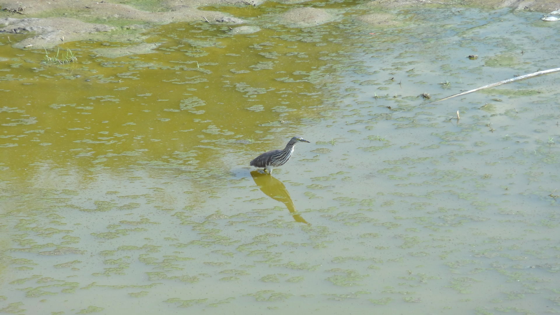
দৃশ্যমান

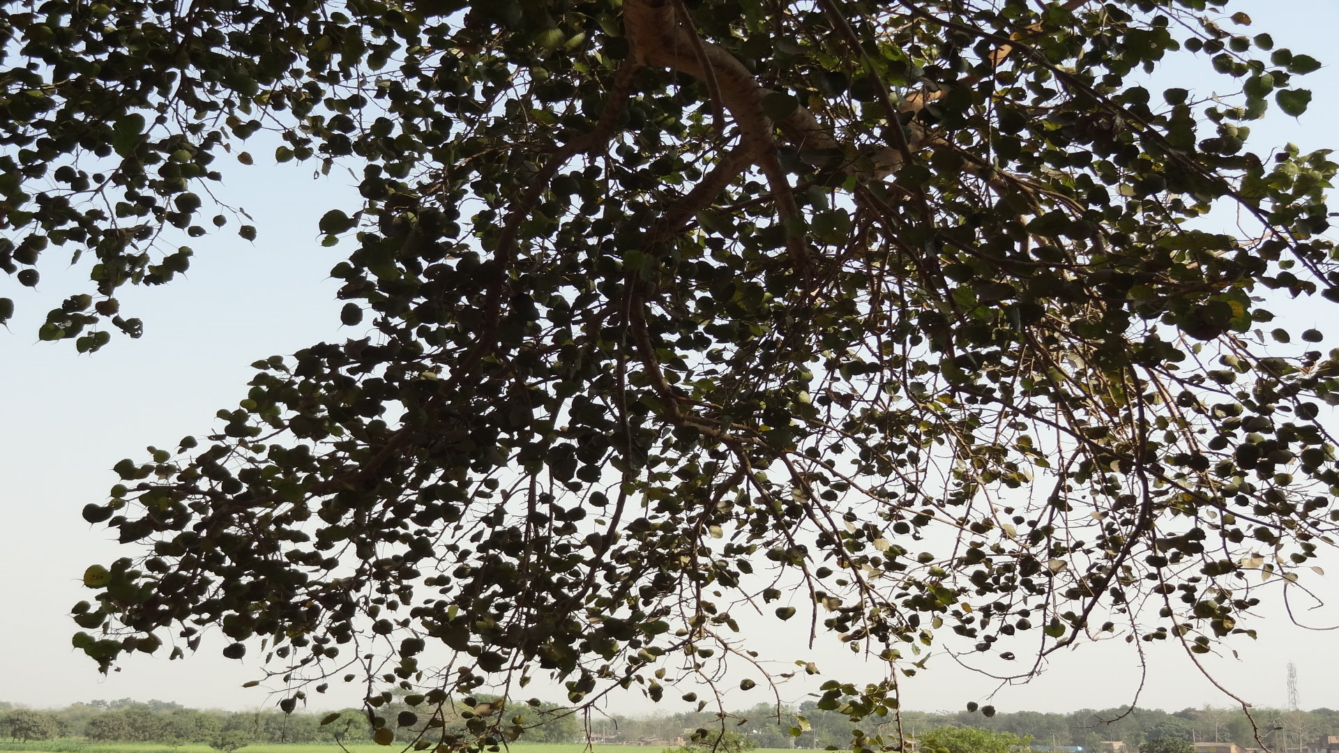
উঁকি
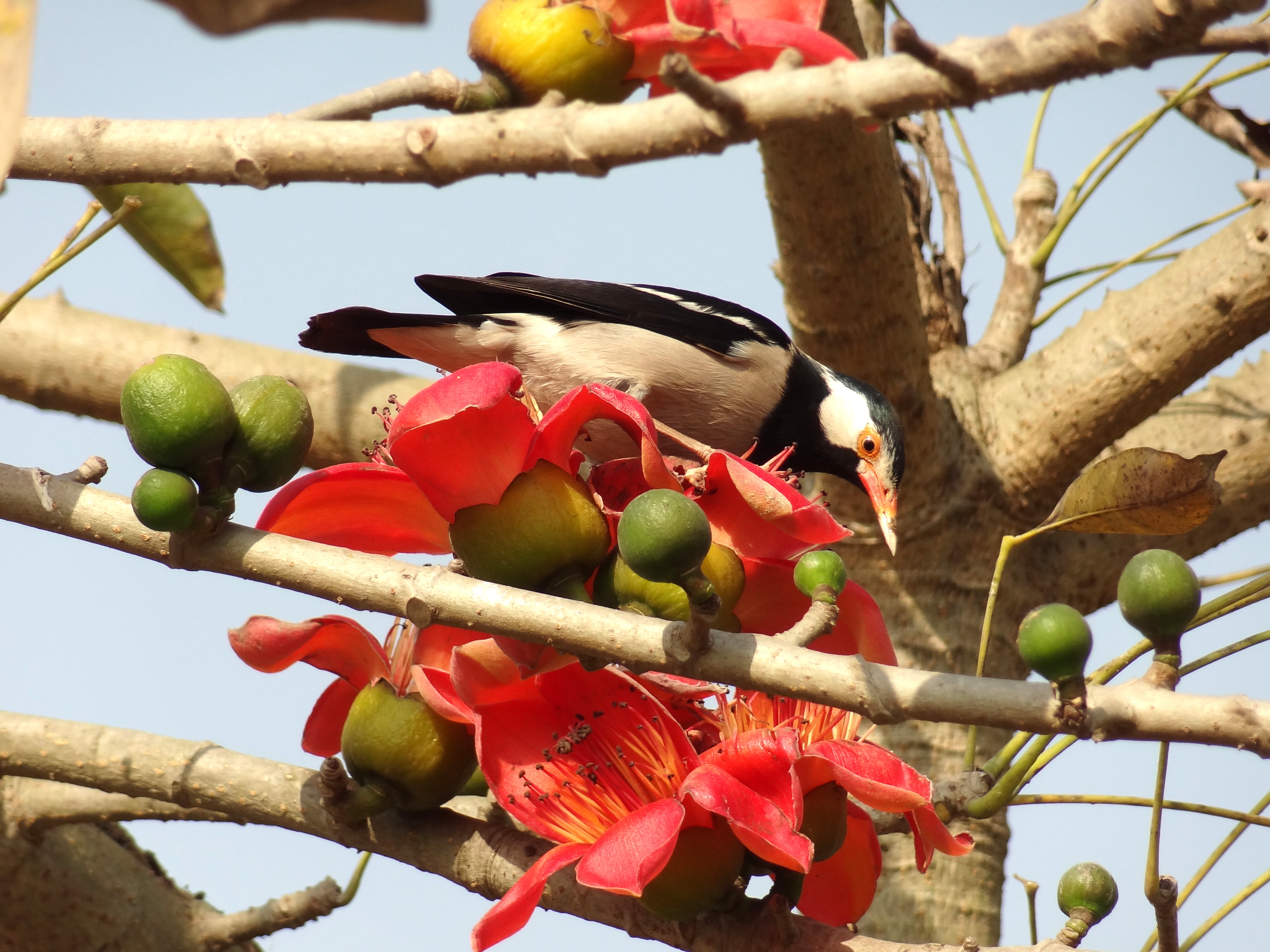
Incredible!
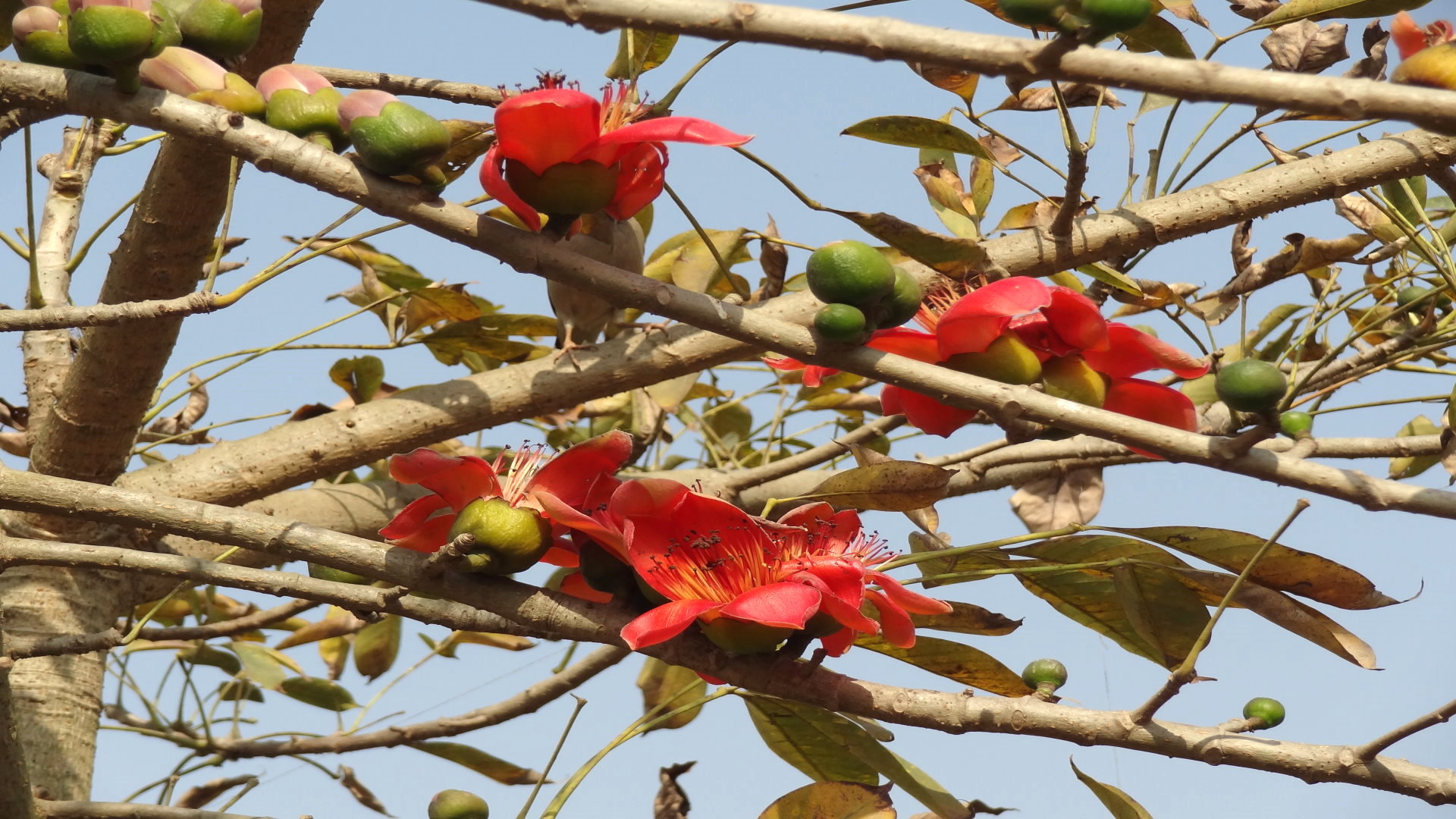
Nature in her dream!
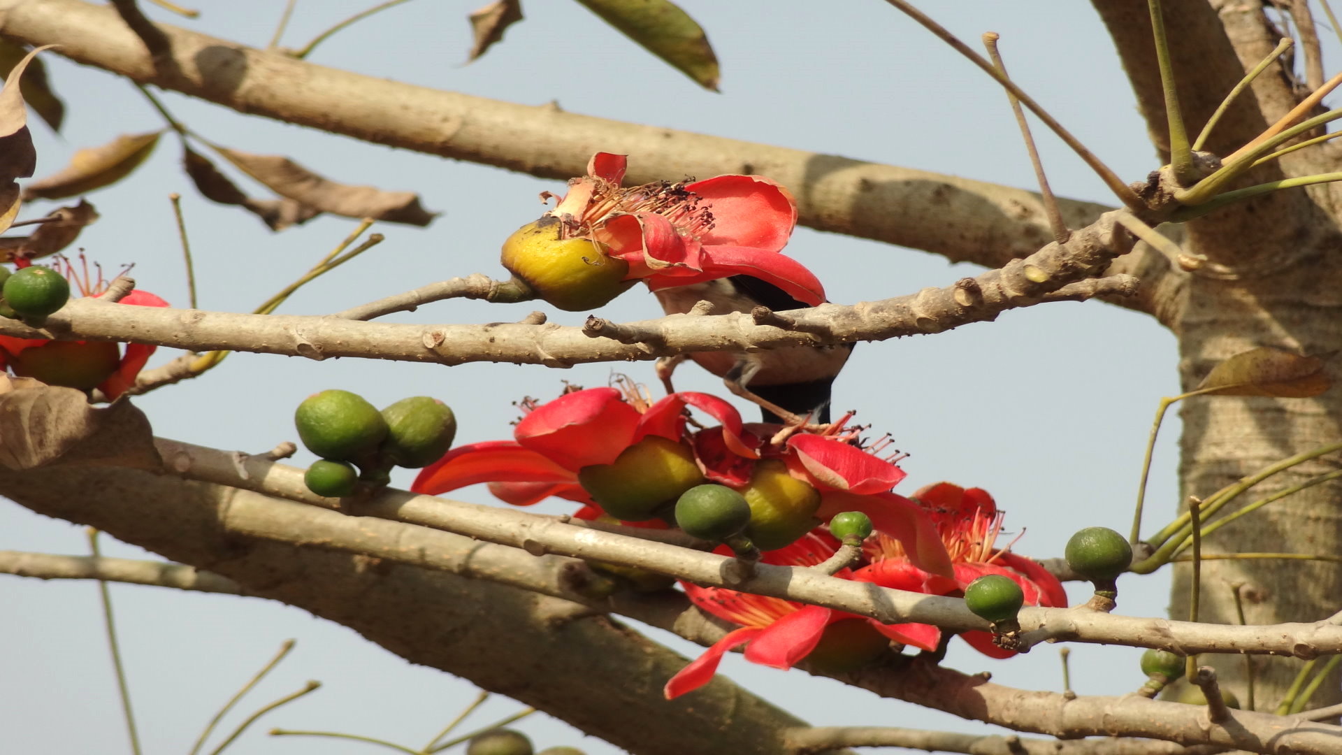
Nature in her full bloom.
Curious!
Nabarun!
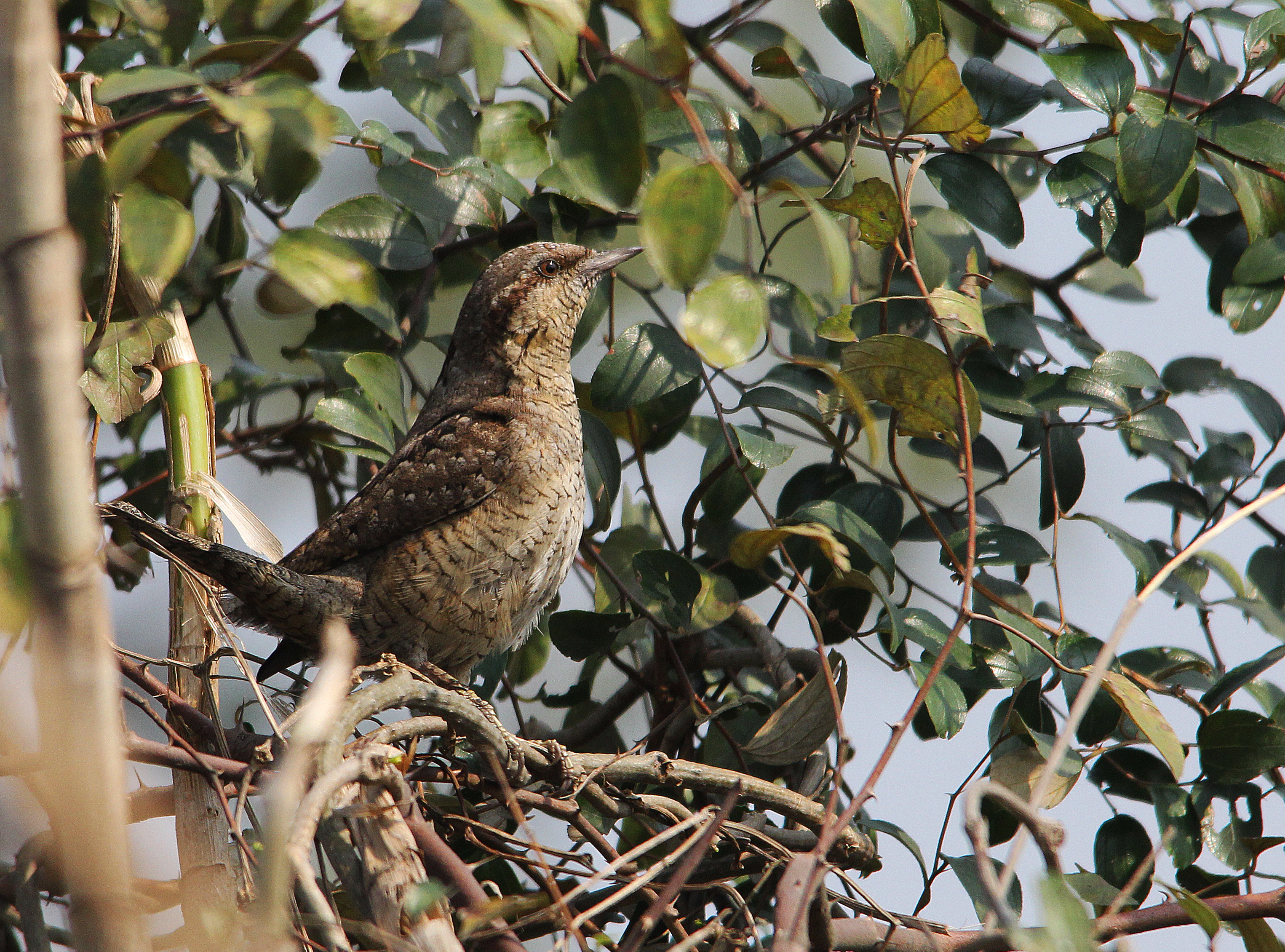
Eurasian Wryneck
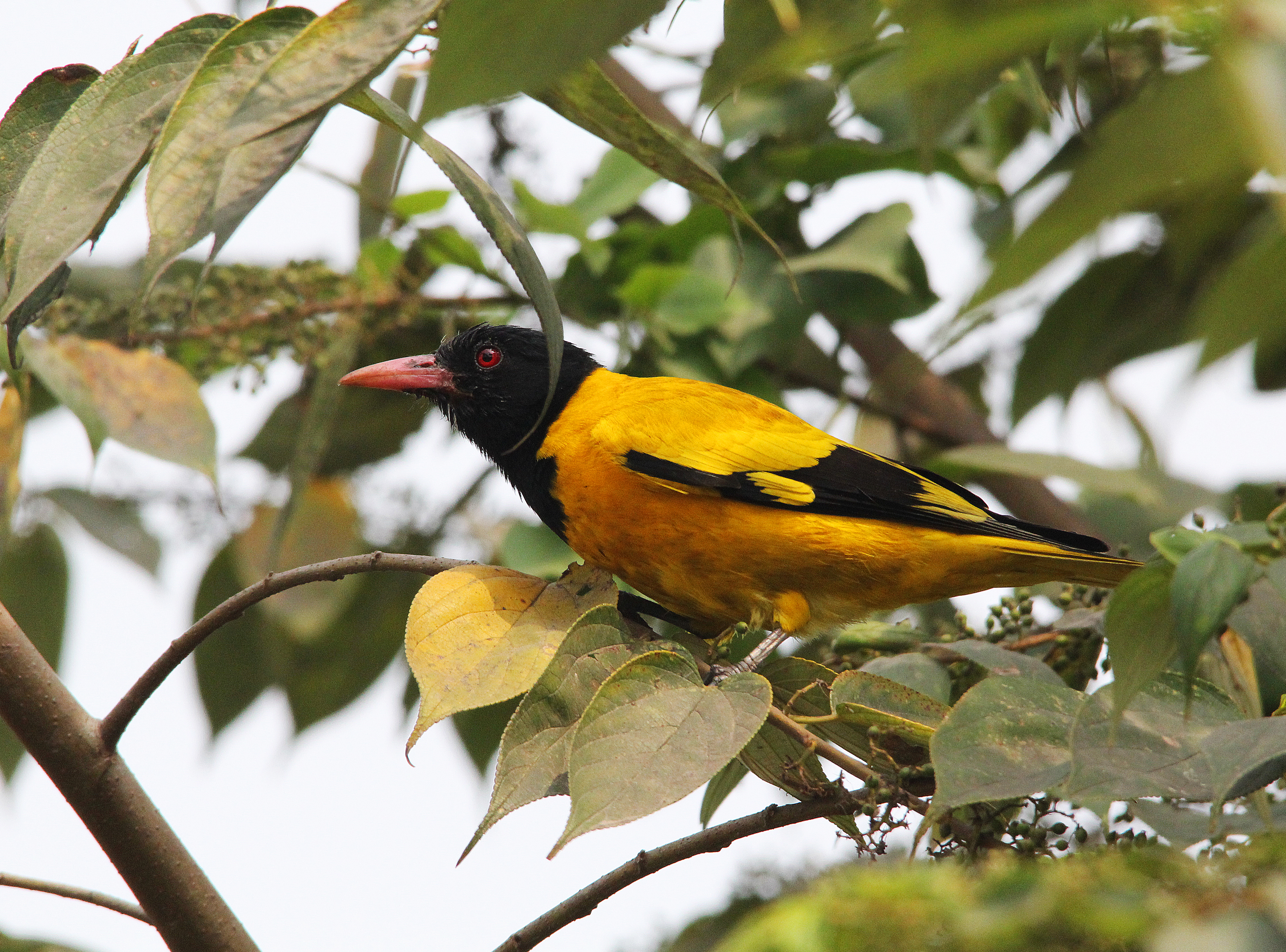
BLACK HEADED ORIOLE
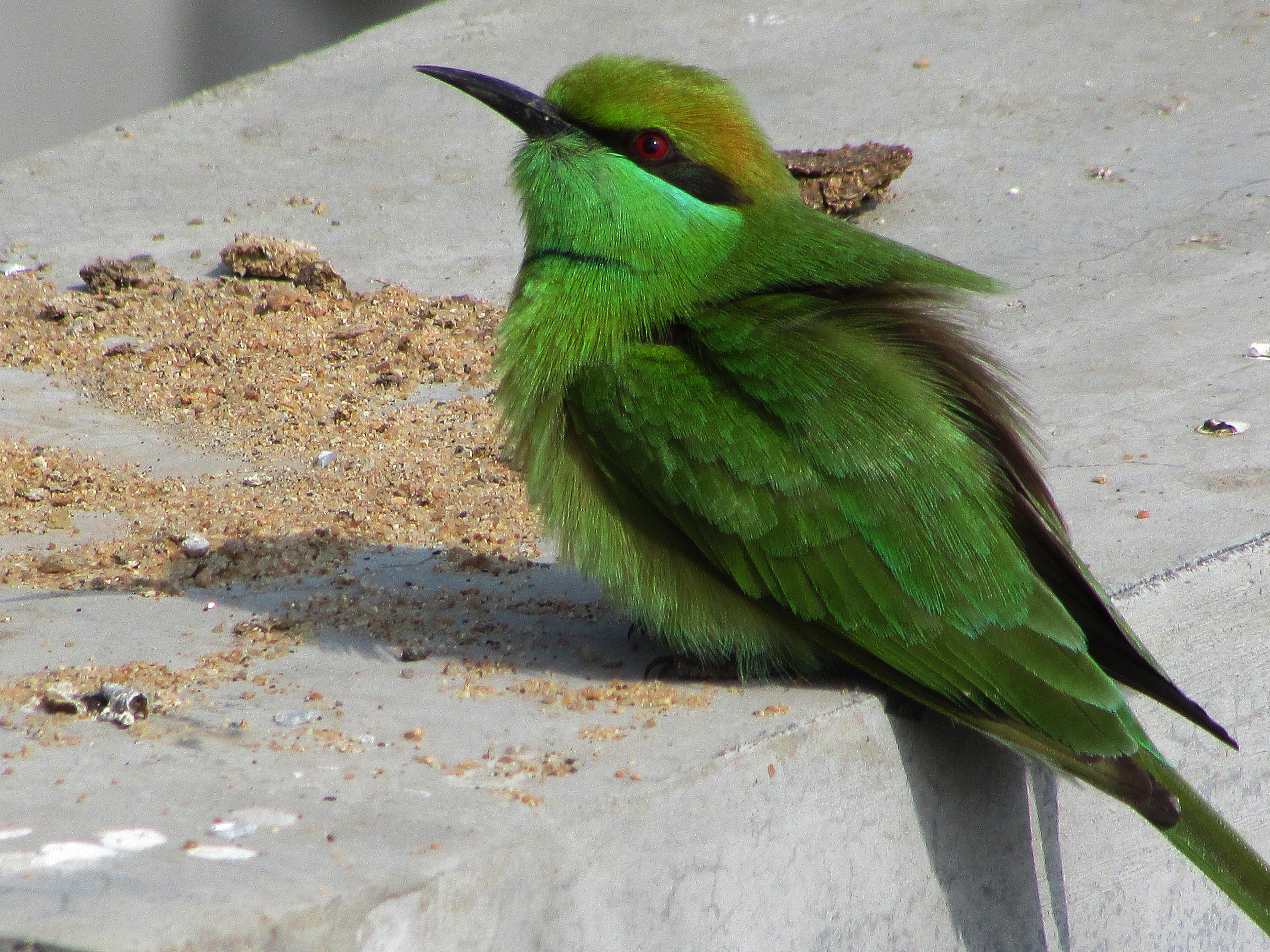
GREEN BEE EATER,Merops orientalis
Topographic Map of Lalgola, West Bengal, India
Find elevation by address:

Places near Lalgola, West Bengal, India:
Bhagwangola
Murshidabad
Murshidabad
Berhampore
Chapainawabganj District
Dhuliyan
Rampurhat
Atla
Malda
Barharwa
Dhalsana
Malda
Eklakhi
Santhal Pargana Division
Dumka
Ramgarh
Dumka
Godda
Godda
Recent Searches:
- Elevation of Corso Fratelli Cairoli, 35, Macerata MC, Italy
- Elevation of Tallevast Rd, Sarasota, FL, USA
- Elevation of 4th St E, Sonoma, CA, USA
- Elevation of Black Hollow Rd, Pennsdale, PA, USA
- Elevation of Oakland Ave, Williamsport, PA, USA
- Elevation of Pedrógão Grande, Portugal
- Elevation of Klee Dr, Martinsburg, WV, USA
- Elevation of Via Roma, Pieranica CR, Italy
- Elevation of Tavkvetili Mountain, Georgia
- Elevation of Hartfords Bluff Cir, Mt Pleasant, SC, USA