Elevation of Godda, Jharkhand, India
Location: India > Jharkhand > Godda >
Longitude: 87.2135177
Latitude: 24.8255215
Elevation: 101m / 331feet
Barometric Pressure: 100KPa
Elevation Map:
Satellite Map:
Related Photos:
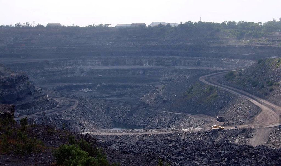
Coal_mine_in_Dhanbad_India
Topographic Map of Godda, Jharkhand, India
Find elevation by address:

Places near Godda, Jharkhand, India:
Godda
Ramgarh
Dumka
Santhal Pargana Division
Dumka
Barharwa
Dhuliyan
Rampurhat
Atla
Malda
Eklakhi
Dhalsana
Chapainawabganj District
Malda
Lalgola
Murshidabad
Bhagwangola
Murshidabad
Berhampore
Recent Searches:
- Elevation of Corso Fratelli Cairoli, 35, Macerata MC, Italy
- Elevation of Tallevast Rd, Sarasota, FL, USA
- Elevation of 4th St E, Sonoma, CA, USA
- Elevation of Black Hollow Rd, Pennsdale, PA, USA
- Elevation of Oakland Ave, Williamsport, PA, USA
- Elevation of Pedrógão Grande, Portugal
- Elevation of Klee Dr, Martinsburg, WV, USA
- Elevation of Via Roma, Pieranica CR, Italy
- Elevation of Tavkvetili Mountain, Georgia
- Elevation of Hartfords Bluff Cir, Mt Pleasant, SC, USA