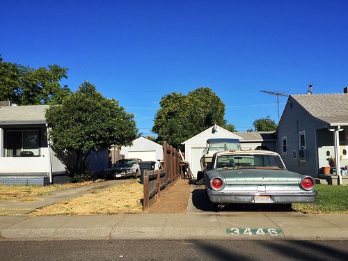
Elevation of Lakeview, Stockton, CA, USA
Location: United States > California > San Joaquin County > Stockton >
Longitude: -121.32270
Latitude: 37.9999234
Elevation: 4m / 13feet
Barometric Pressure: 101KPa
Related Photos:
Topographic Map of Lakeview, Stockton, CA, USA
Find elevation by address:

Places near Lakeview, Stockton, CA, USA:
Douglas Rd, Stockton, CA, USA
766 W March Ln
956 Edan Ave
6637 Alturas Ave
1918 Rosemarie Ln
108 E Benjamin Holt Dr
972 El Camino Ave
5660 Brush Creek Dr
Alex G. Spanos Center
2007 Princeton Ave
1951 W Euclid Ave
1776 W Alpine Ave
728 W Alpine Ave
Pacific
2204 Kensington Way
Oak Park Ice Skating Arena
3503 Harpers Ferry Dr
2112 Pacific Ave
6404 Cumberland Pl
3453 Brookside Rd
Recent Searches:
- Elevation of Corso Fratelli Cairoli, 35, Macerata MC, Italy
- Elevation of Tallevast Rd, Sarasota, FL, USA
- Elevation of 4th St E, Sonoma, CA, USA
- Elevation of Black Hollow Rd, Pennsdale, PA, USA
- Elevation of Oakland Ave, Williamsport, PA, USA
- Elevation of Pedrógão Grande, Portugal
- Elevation of Klee Dr, Martinsburg, WV, USA
- Elevation of Via Roma, Pieranica CR, Italy
- Elevation of Tavkvetili Mountain, Georgia
- Elevation of Hartfords Bluff Cir, Mt Pleasant, SC, USA
