Elevation of Lakeland Acres Dr, Drasco, AR, USA
Location: United States > Arkansas > Cleburne County > Francis Township >

Longitude: -92.049159

Latitude: 35.520441

Elevation: 163m / 535feet

Barometric Pressure: 99KPa

Elevation Map:

elevation map of Lakeland Acres Dr, Drasco, AR, USA

Satellite Map:

Satellite map of Lakeland Acres Dr, Drasco, AR, USA

Related Photos:

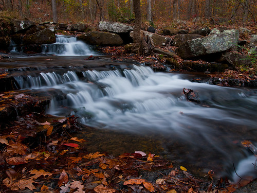
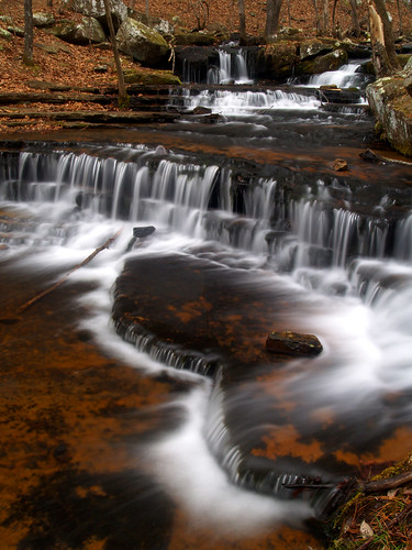
arkansas greersferrylake collinscreek
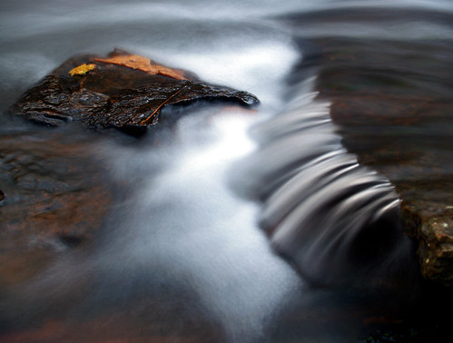
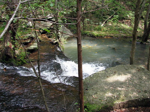
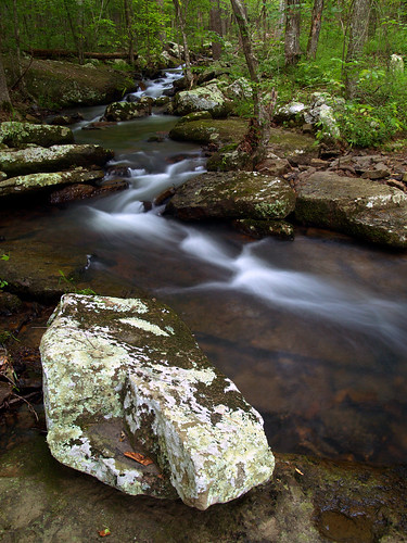
Collins Creek up-close
vacation mountain lake river interestingness rainbow fishing view heber bokeh horizon father daughter explore springs arkansas trout littlered millerspoint lakescape greersferry i500 capture37 diamondbluff
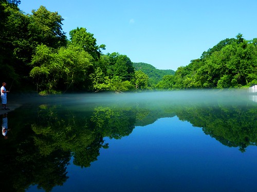
fishin' buddies
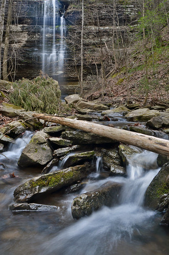
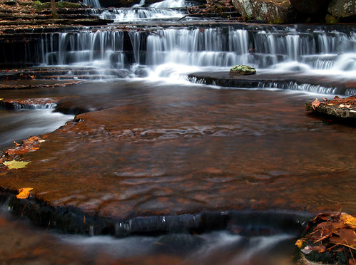
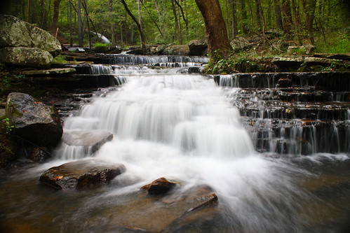
water waterfall log stream falls arkansas cascade hebersprings corneliusfalls jekaworldphotography jefrosephotography
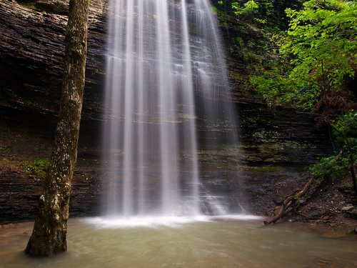
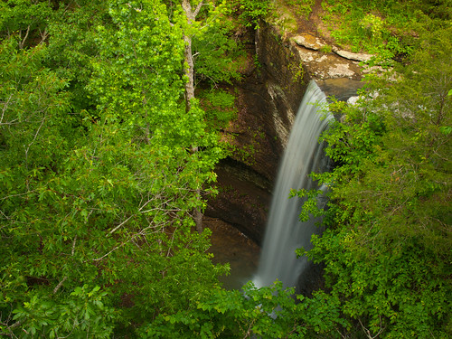
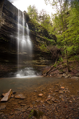
Cornelius Falls
arkansas greersferrylake collinscreek jfkmemorialpark
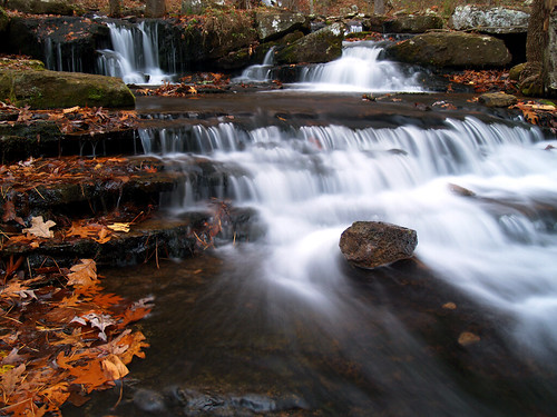
Collins Creek
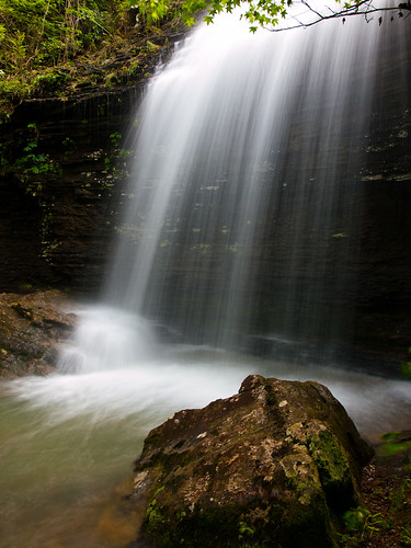
arkansas bridalveilfalls hebersprings
Bridal Veil Falls
family reunion hall 2008
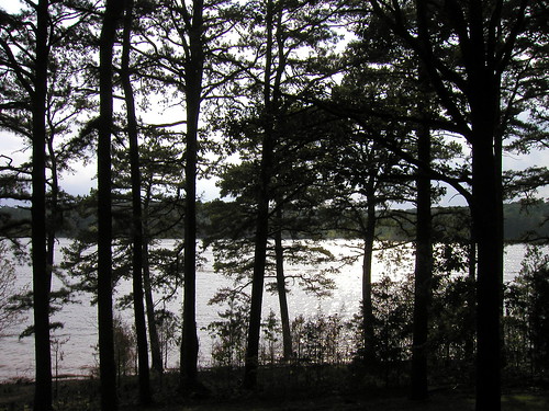
Lake View from Lake House w/Allison and Donovan
Collins Creek
Collins Creek
family reunion hall 2008
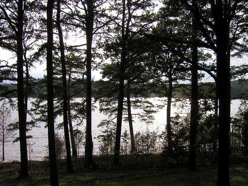
Lake View from Lake House
arkansas hebersprings corneliusfalls
Cornelius Falls
arkansas greersferrylake collinscreek
Collins Creek
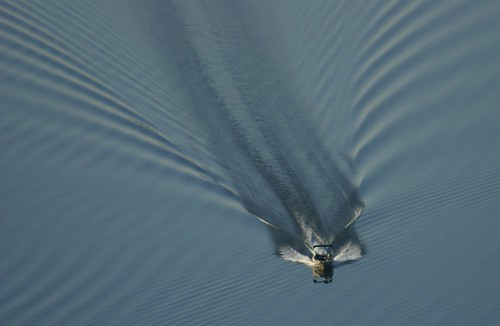
vacation mountain lake wake view heber horizon springs arkansas shiloh narrows millerspoint lakescape blueribbonwinner greersferry diamondbluff
Cutting a swath
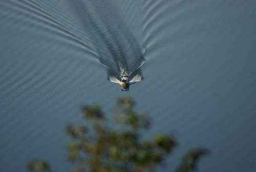
blue vacation mountain lake wake view heber horizon springs arkansas shiloh narrows millerspoint lakescape greersferry diamondbluff
Point/Counterpoint
arkansas sugarloafmountain hebersprings greersferrylake
Sugarloaf Mountain
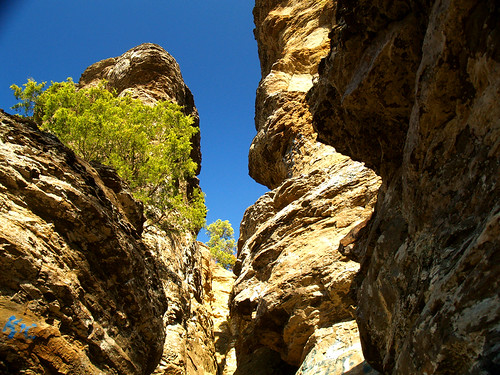
vacation mountain lake view heber horizon springs arkansas millerspoint lakescape greersferry diamondbluff
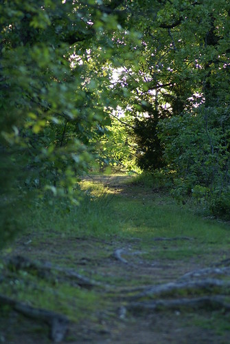
mountain path3
family reunion hall 2008
Lake View from Lake House
arkansas greersferrylake collinscreek
Collins Creek
vacation mountain lake view heber horizon springs arkansas millerspoint lakescape greersferry diamondbluff
touch of blue
Collin's Creek: down the fall
arkansas hebersprings corneliusfalls
Cornelius Falls
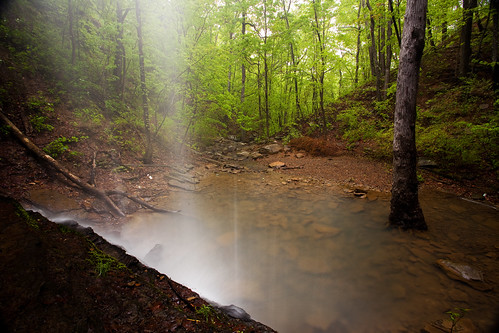
The view from behind...
county nature canon lens photography eos waterfall spring heber natural zoom mark clayton wells falls ii springs 5d arkansas usm cornelius ef 1740mm cleburne f4l 2013 img0681
Behind the Aqua Curtain
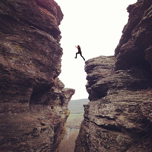
square squareformat rise iphoneography instagramapp uploaded:by=instagram foursquare:venue=4cc850ffee718cfa2d70b73d
Faith and obedience will remove mountains, mountains of evil, mountains of difficulty. But they must go hand in hand; or perhaps foot in foot.
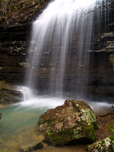
waterfall arkansas bridalveilfalls hebersprings
Bridal Veil Falls
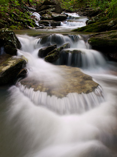
nature water canon waterfall ar falls gravity waterfalls arkansas 1855mm canonefs1855mm h20 extendedexposure hebersprings canon1855mm 40d dihydrogenoxide winrich cleburnecounty bestof2009 johnfkennedypark collinscreek canon40d windyrichardson
a study of the gravitational pull on dihydrogen oxide as seen over an extended period of time
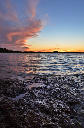
pink sunset lake water colors rock vertical clouds point rockformation greersferry devilsforkpark
Devil's Fork Sunset
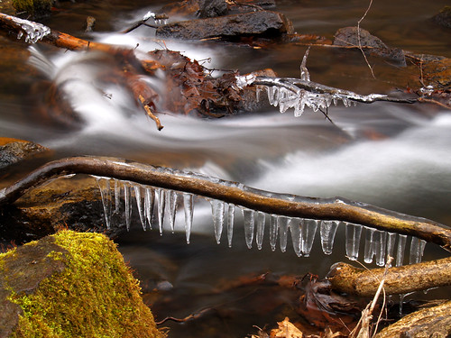
arkansas greersferrylake collinscreek
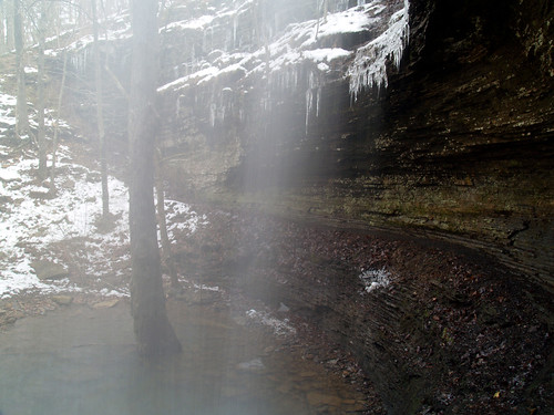
More ice
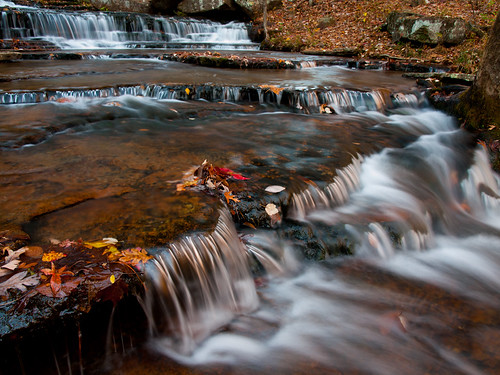
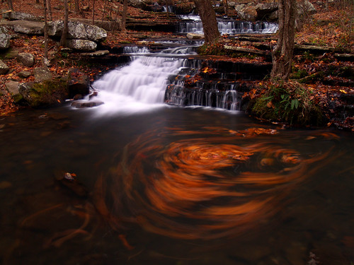
fallcolors waterfalls arkansas greersferrylake collinscreek
All That You Can't Leave Behind
arkansas bridalveilfalls hebersprings
Below the Bridal Veil
The sun is heading to bed...
waterfalls arkansas greersferrylake collinscreek
Round the bend
fallcolors waterfalls arkansas greersferrylake collinscreek
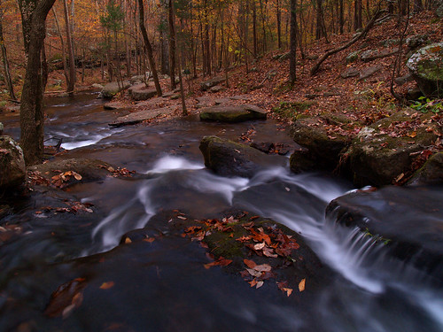
Collins Creek
county nature canon lens photography eos waterfall spring heber natural zoom mark clayton wells falls ii springs 5d arkansas usm cornelius ef 1740mm cleburne f4l 2013 img0685
Meet Cornelius...
Trout Alley
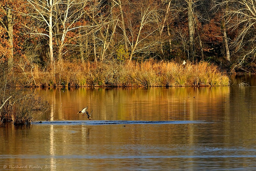
ducks arkansas hebersprings magnesslake cleburncounty
Magness Lake
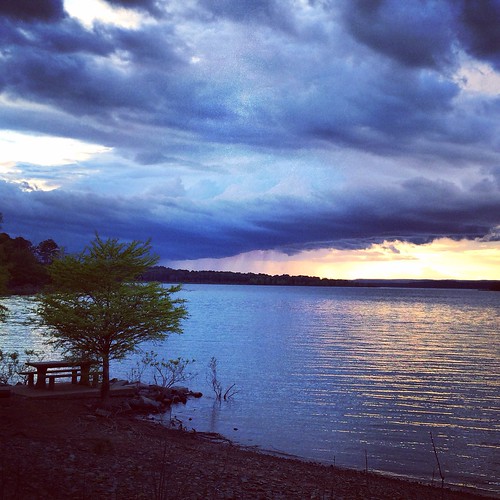
square squareformat iphoneography instagramapp xproii uploaded:by=instagram foursquare:venue=4e1b9cadd164040ac7bfd31c
Greer's Ferry Lake Shoreline