Elevation of Lake Ridge Trail, Trinidad, CO, USA
Location: United States > Colorado > Las Animas County > Trinidad >
Longitude: -104.56794
Latitude: 37.1281958
Elevation: 1970m / 6463feet
Barometric Pressure: 80KPa
Elevation Map:
Satellite Map:
Related Photos:
Culebra Peak
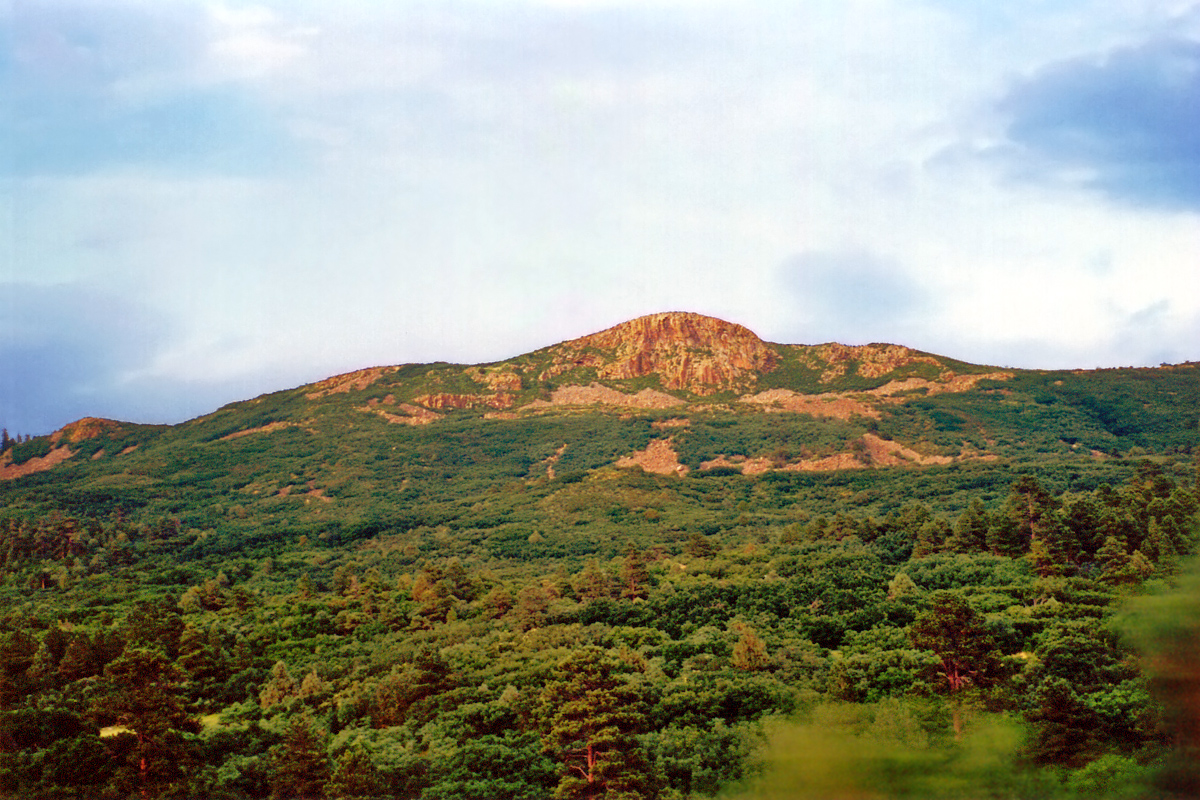
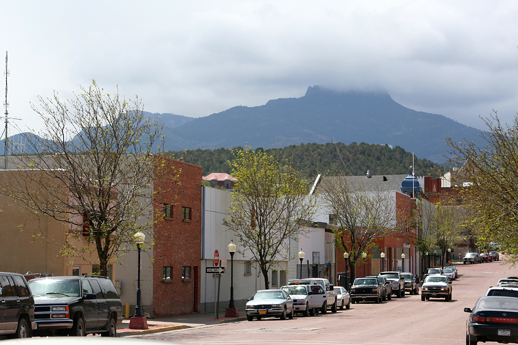
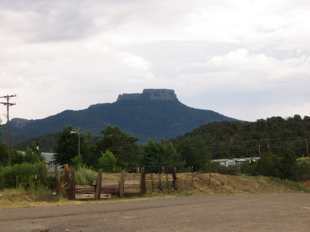
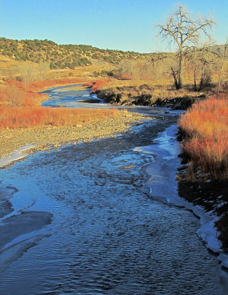
Fisher's Peak from Cokedale, Colorado
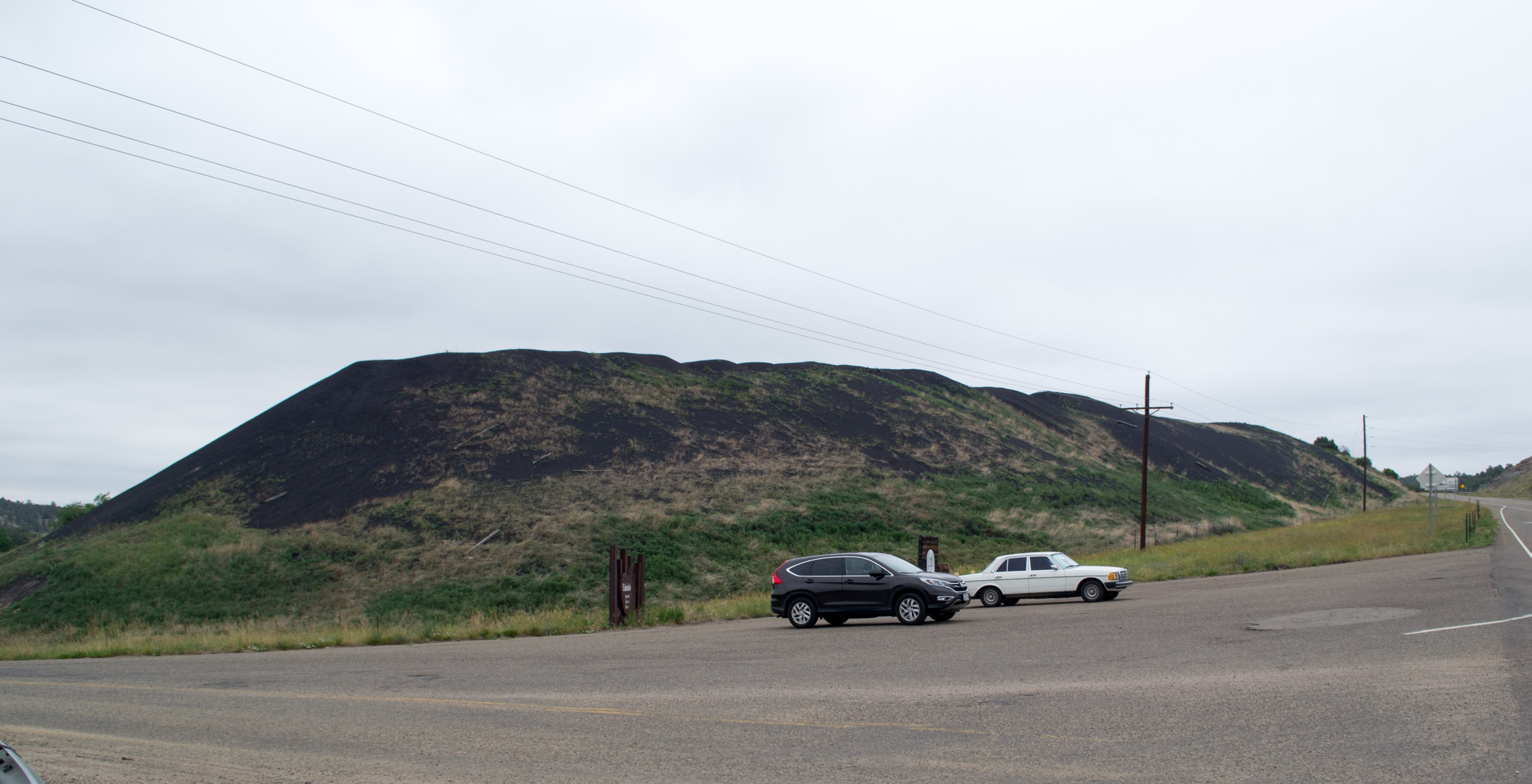
Cokedale Historic Dist, CO slag pile (# 0064)
door light streaming
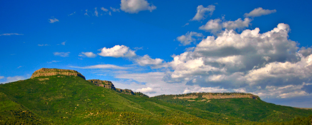
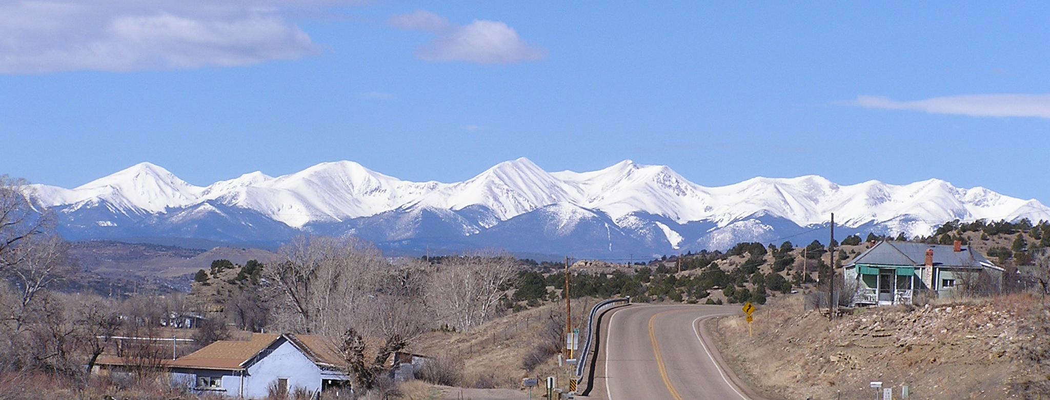
Fishers Peak
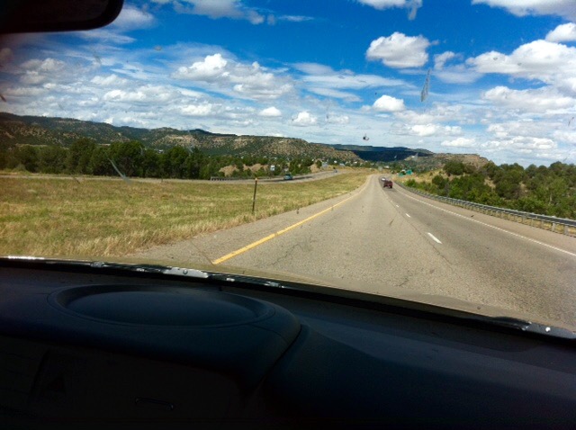
Scenery on I-25 near Raton Pass, Colorado
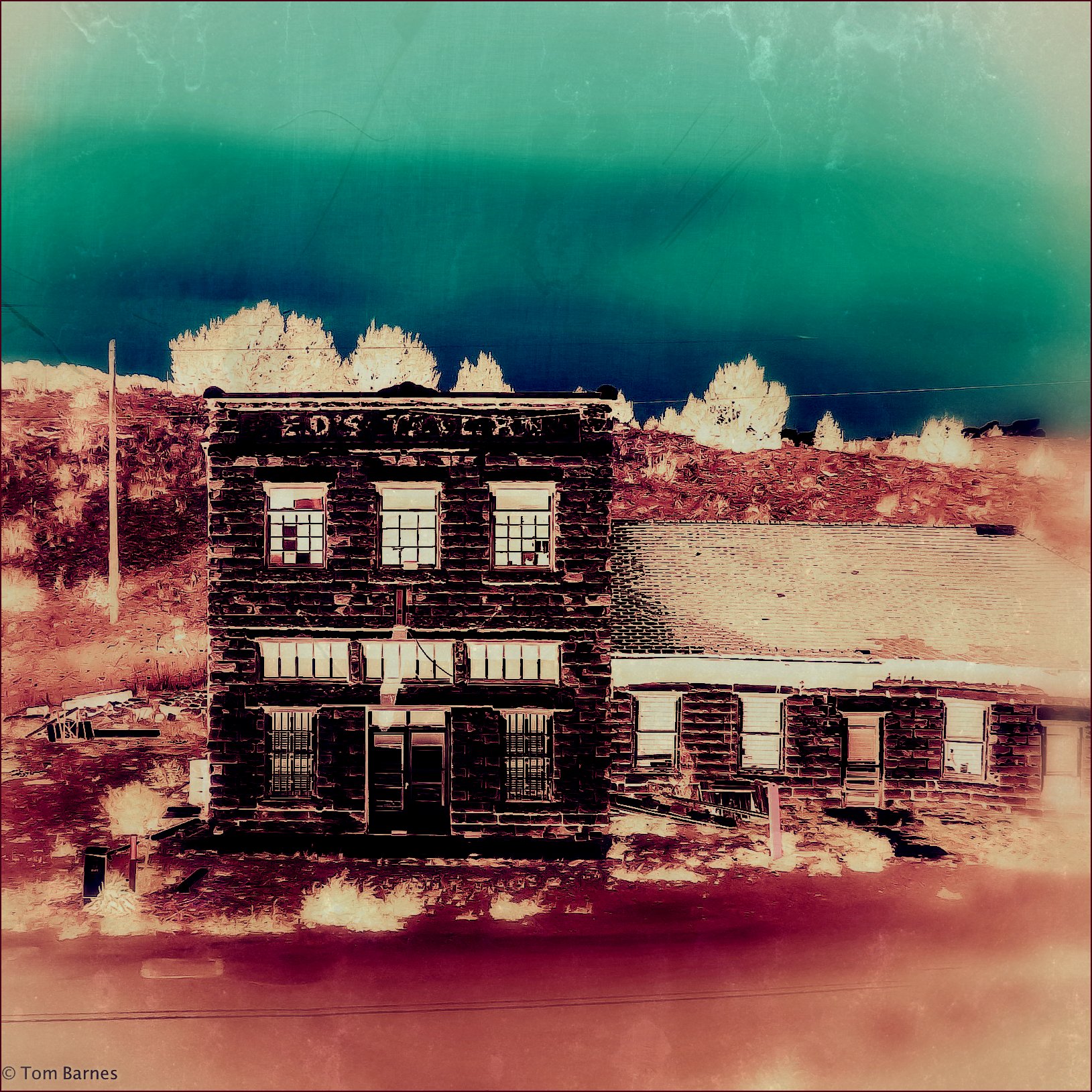
Ed's

The Drive back

Trinidad, Colorado Gargoyles
Challenge of the Pass
day7-4

K-T_Boundary008
Views from Interstate 25 in northern New Mexico
day7-5
Simpson's Rest View
day7-3
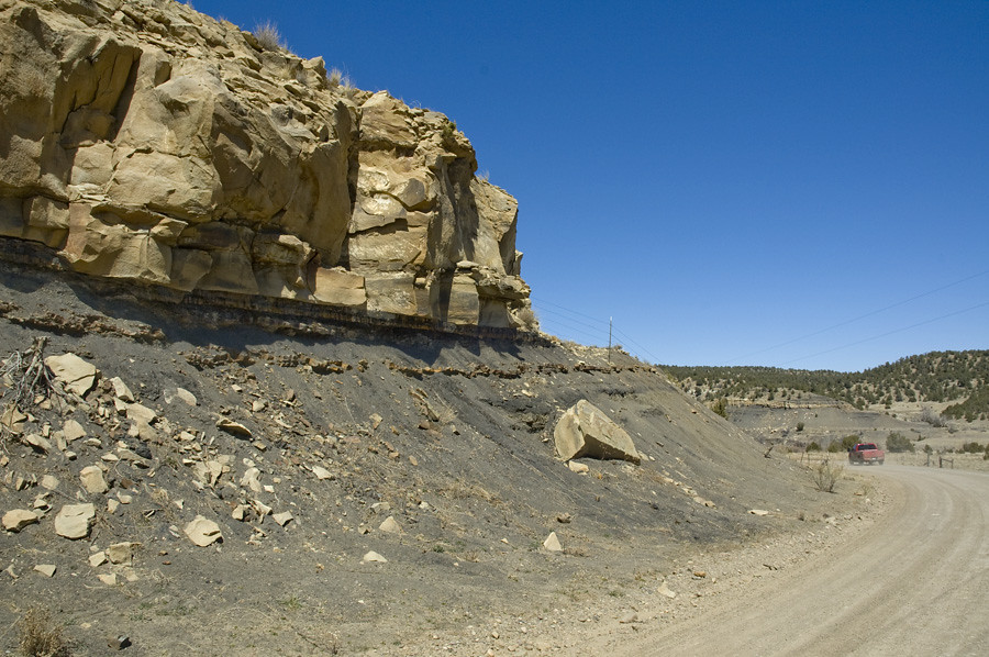
K-T_Boundary053
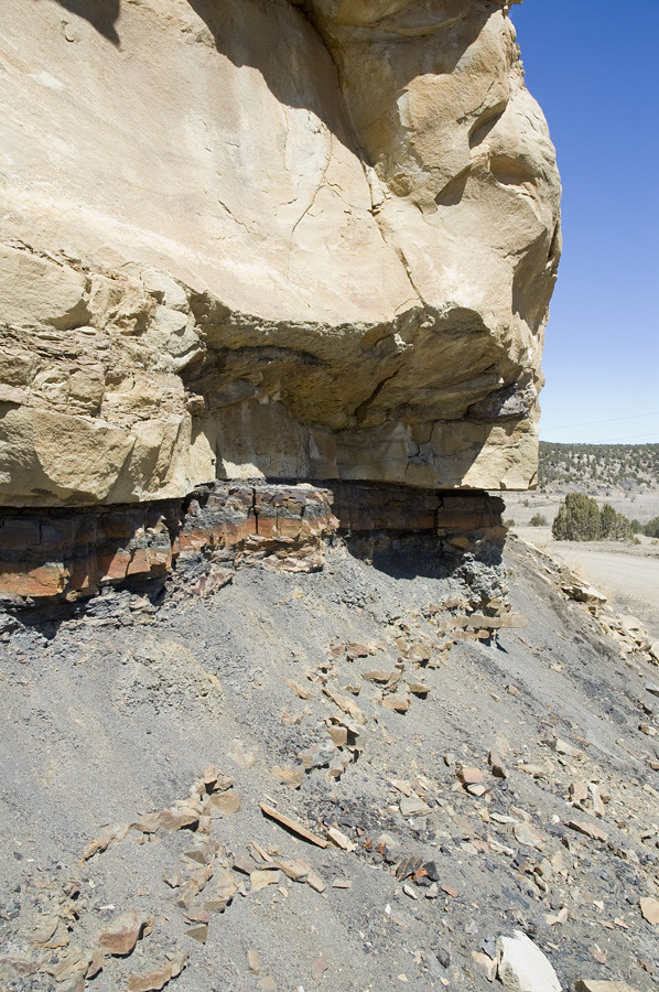
K-T_Boundary009

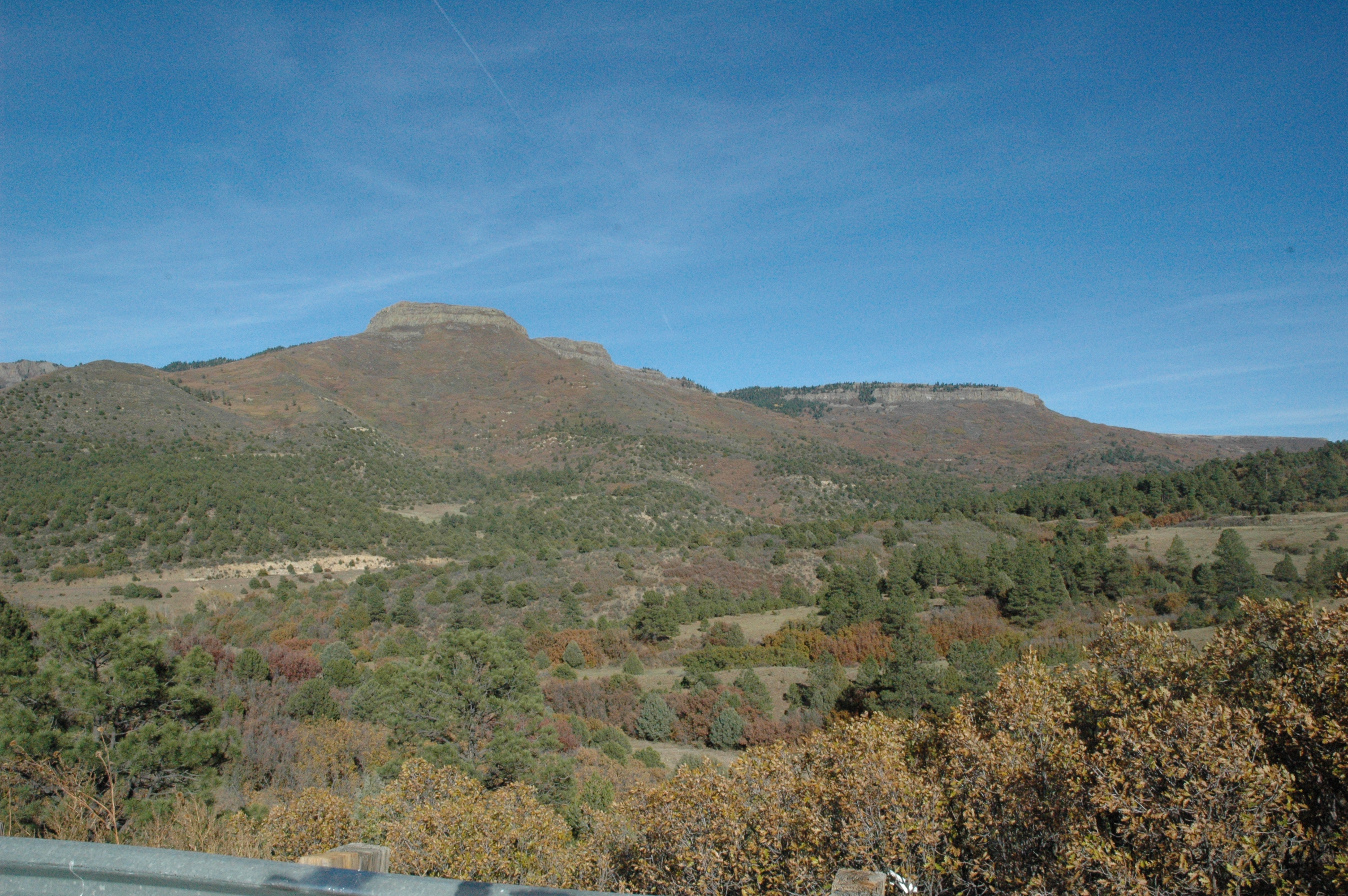
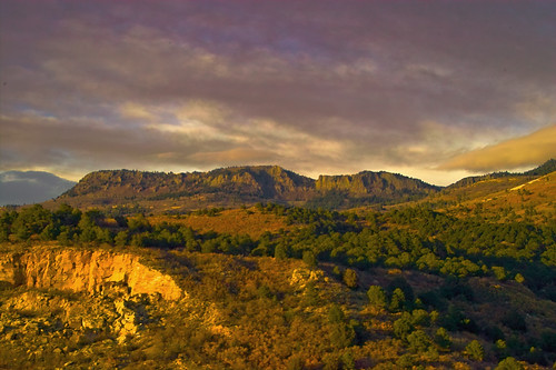
Scenic View along Raton Pass
Time to clean the windscreen!!

Courthouse Liberty
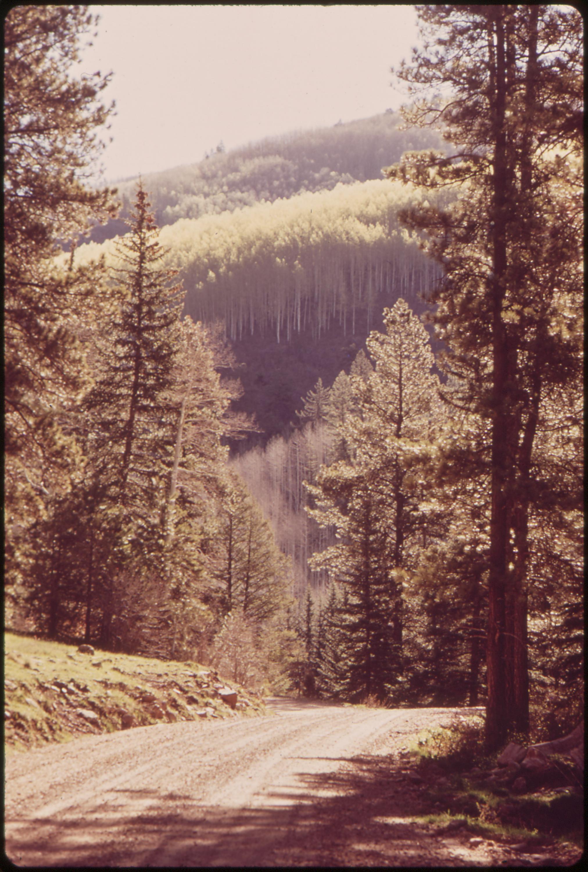
Forest road near West Dolores River, 05/1972.

January Sunset
Sangre De Cristo
AMTK 3 @ Gallinas, CO
Raton Pass, Colorado & New Mexico
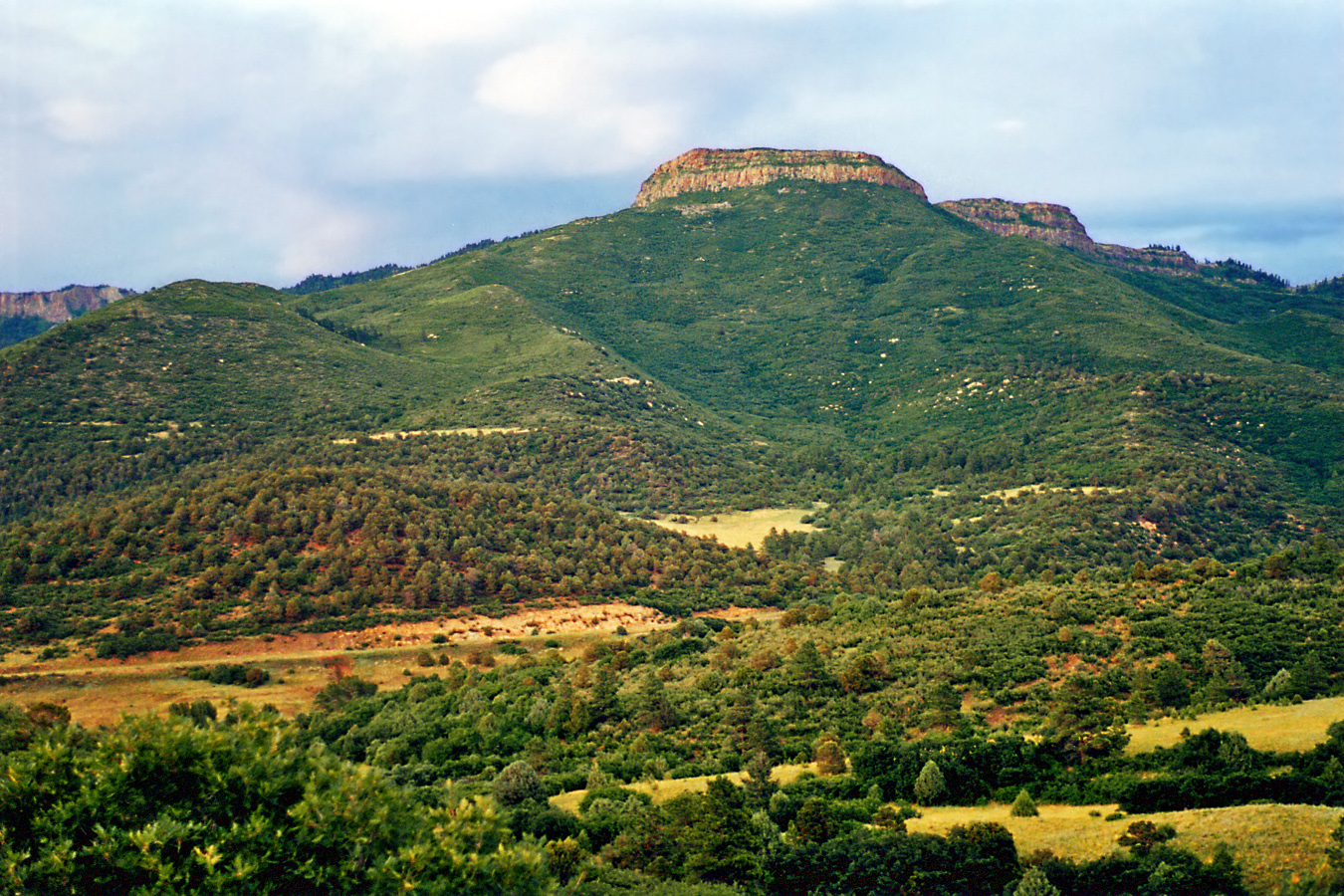
Raton Mesa
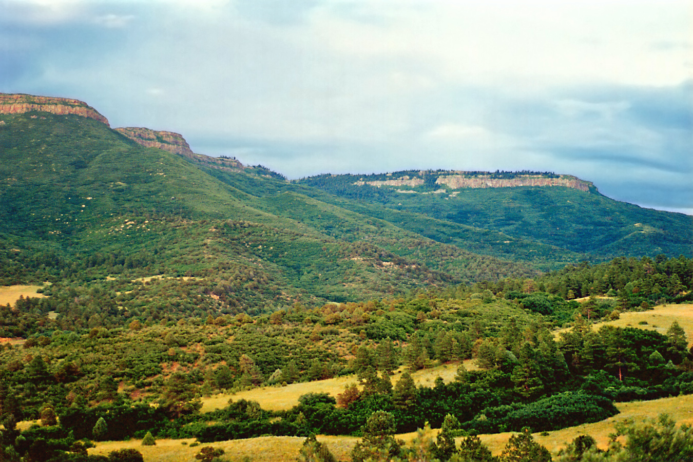
Raton Mesa and valley, Colorado
Raton Pass Scenry, Colorado

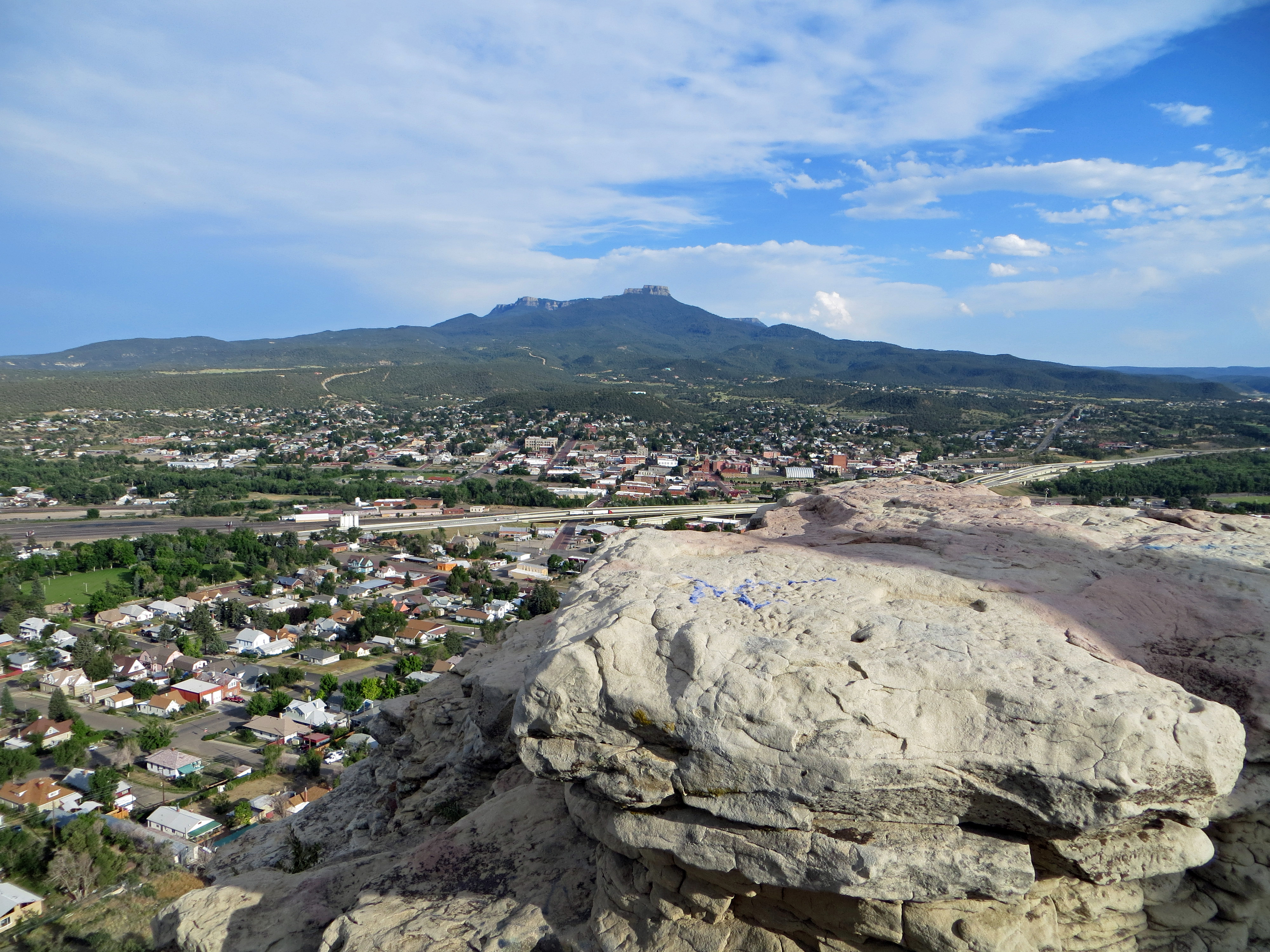
Fishers Peak: Trinidad Lake State Park, Colorado (CO)

Wooton Ranch
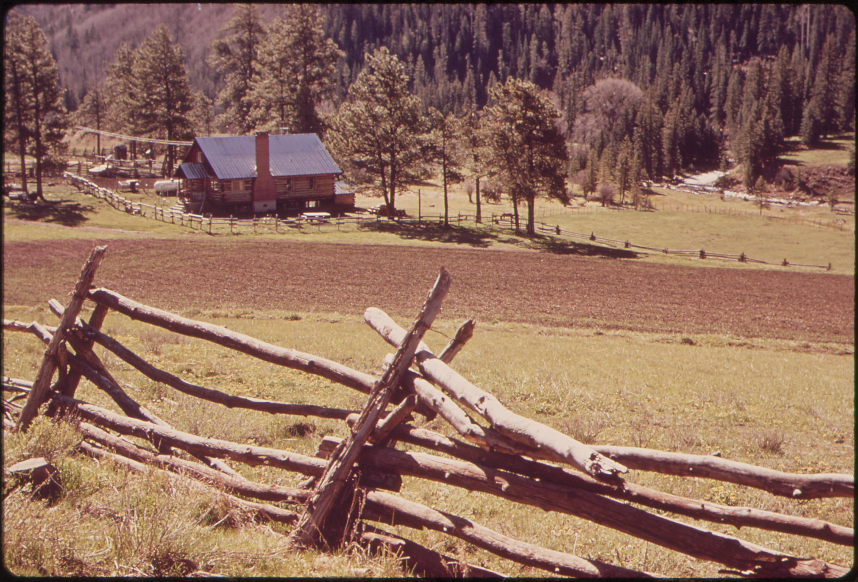
Ranch, 04/1972.
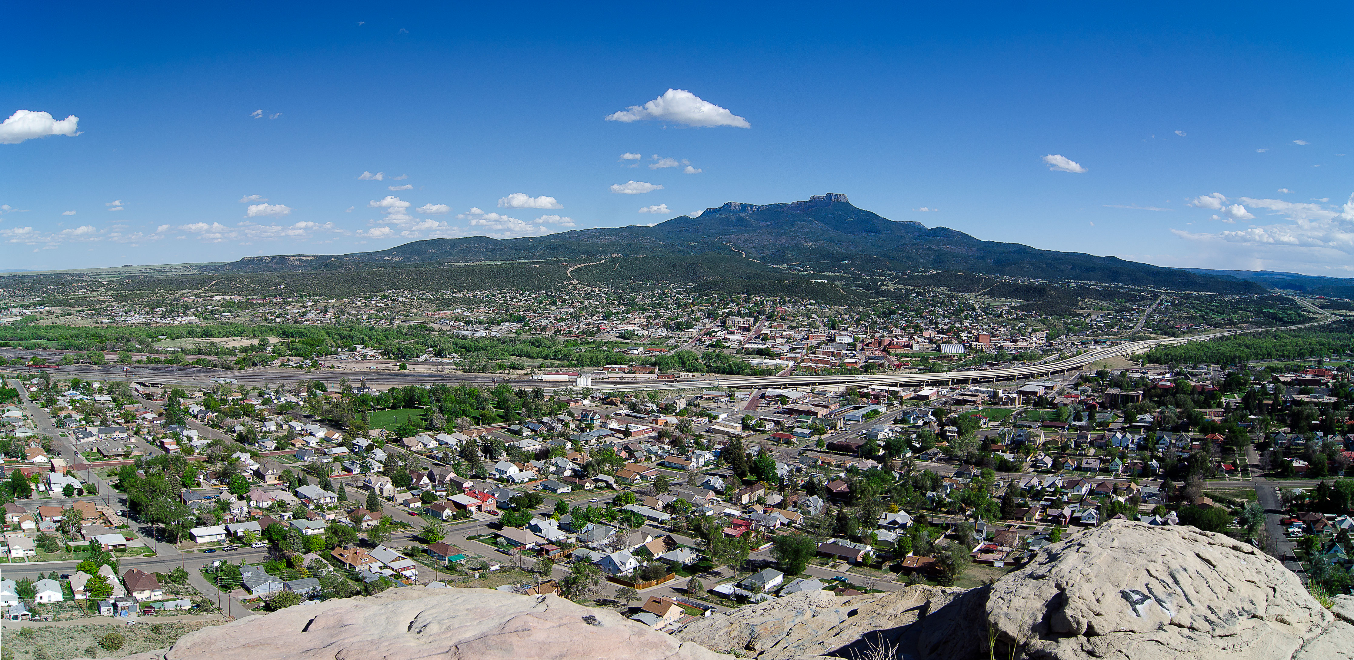
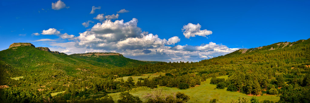
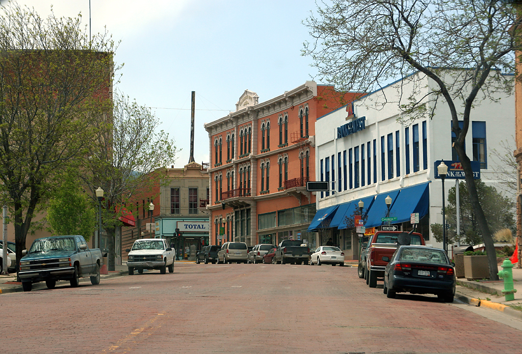
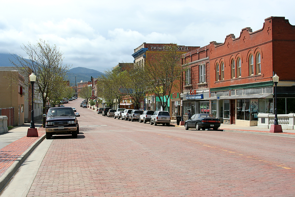
Trinidad, Colorado_Panorama

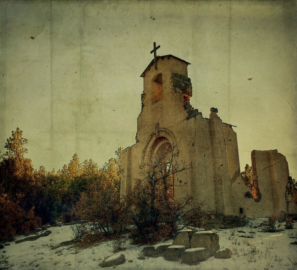
Roman Ruins?
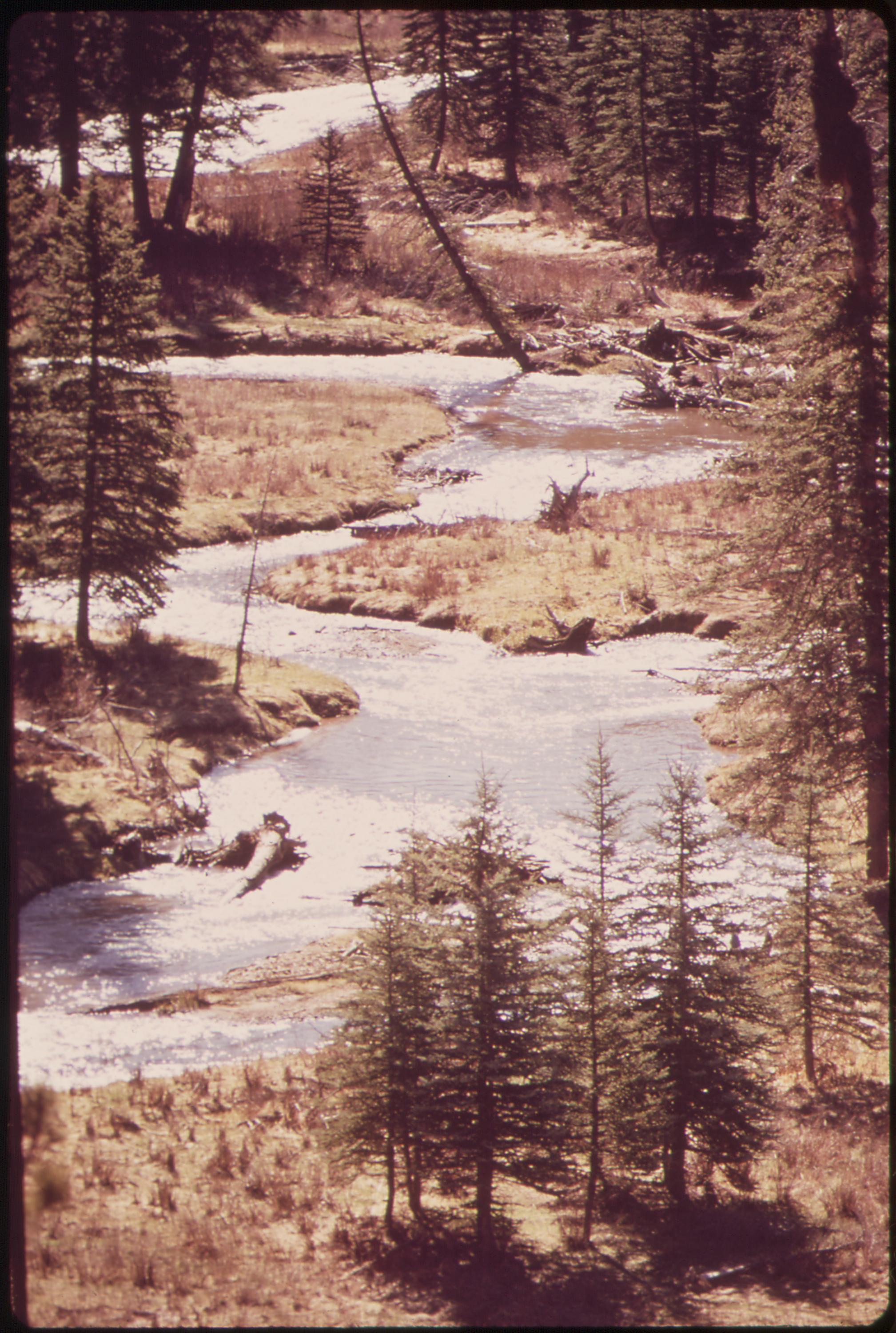
West Dolores River, 05/1972.

The Lovely Sore Thumb (Hipstamatic Contest Entry)
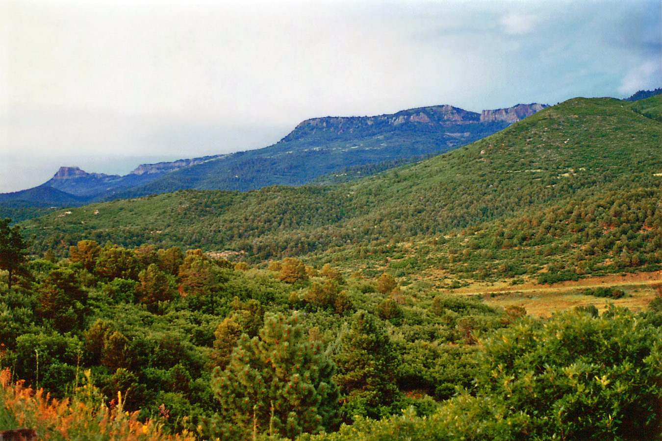
Mountain south of Trinadad
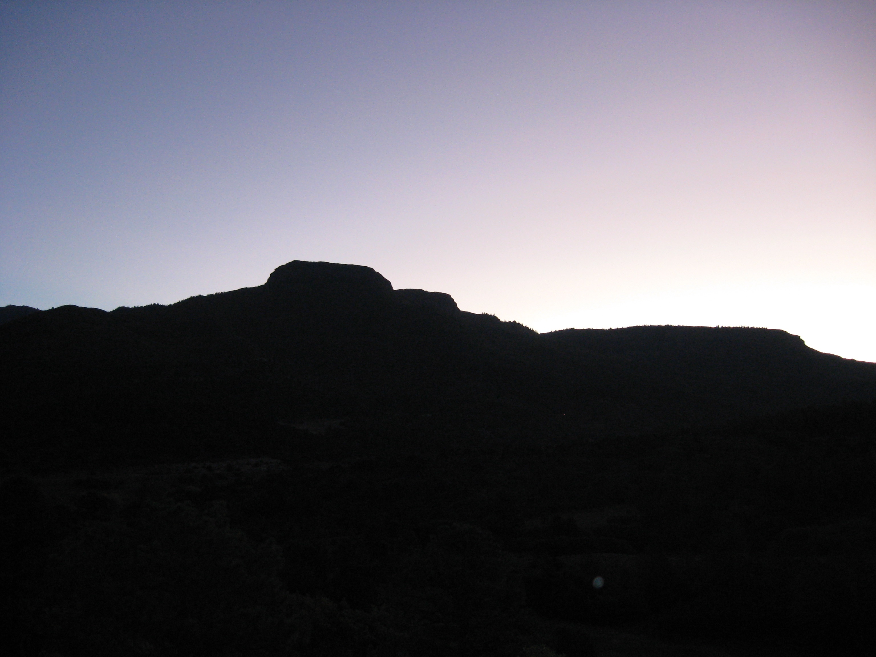
Raton Pass -- Colorado New Mexico Border at Sunset
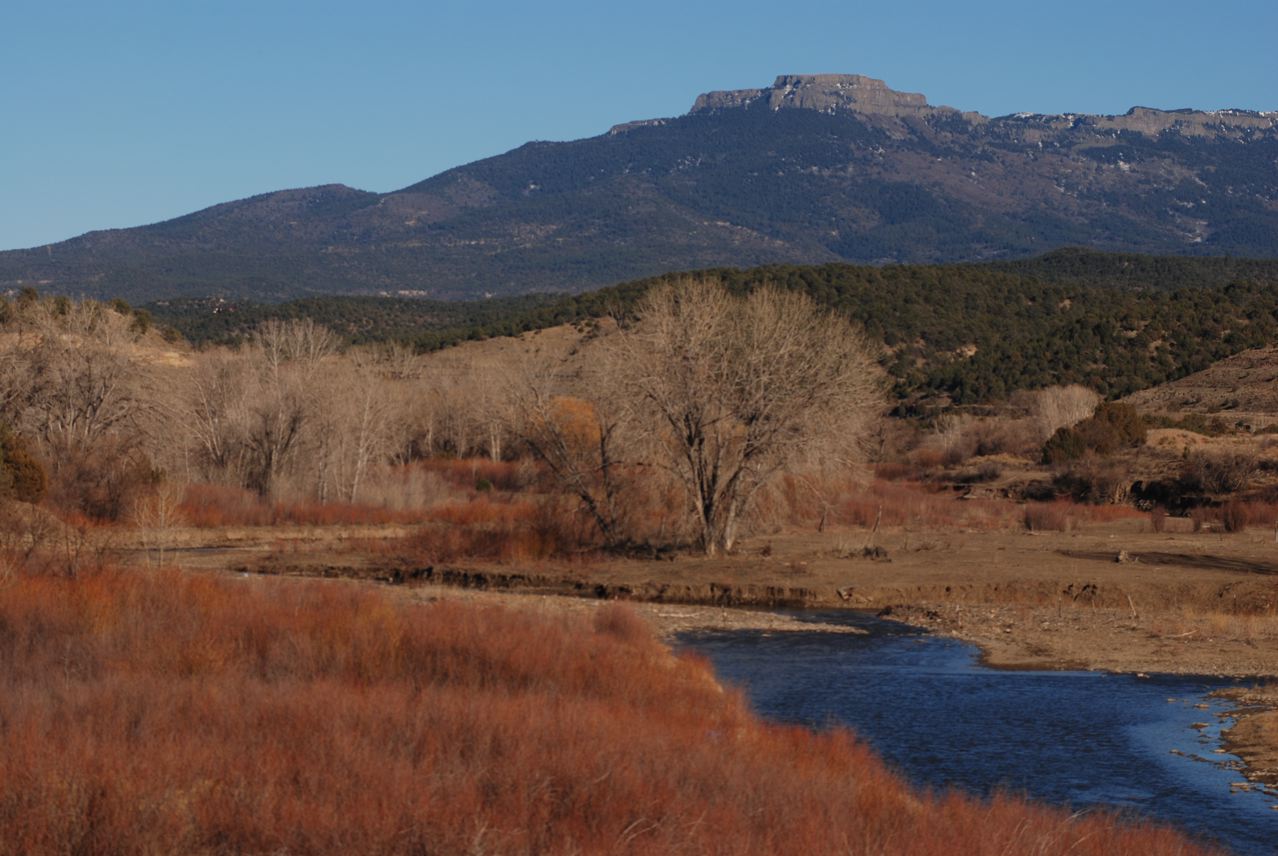
Purgatoire River: West of Trinidad, Colorado (CO)
Colorado Sunrise 2
Topographic Map of Lake Ridge Trail, Trinidad, CO, USA
Find elevation by address:

Places near Lake Ridge Trail, Trinidad, CO, USA:
32989 Lake View Dr
32989 Lake View Rd
Ponderosa Trail
8004 Spanish Peak Trail
31200 Old Sopris Rd
Jansen
13877 County Rd 67.3
Starkville
29986 County Rd 18.3
10301 Santa Fe Trail
Cokedale
76 Elm St, Cokedale, CO, USA
Compton Ridge Drive
R 10 Court
7511 County Rd 53.1
900 Moores Canyon Rd
County Road 67.3
Town & Country Estates Realty
Pinon Street
620 W Topeka Ave
Recent Searches:
- Elevation of Corso Fratelli Cairoli, 35, Macerata MC, Italy
- Elevation of Tallevast Rd, Sarasota, FL, USA
- Elevation of 4th St E, Sonoma, CA, USA
- Elevation of Black Hollow Rd, Pennsdale, PA, USA
- Elevation of Oakland Ave, Williamsport, PA, USA
- Elevation of Pedrógão Grande, Portugal
- Elevation of Klee Dr, Martinsburg, WV, USA
- Elevation of Via Roma, Pieranica CR, Italy
- Elevation of Tavkvetili Mountain, Georgia
- Elevation of Hartfords Bluff Cir, Mt Pleasant, SC, USA