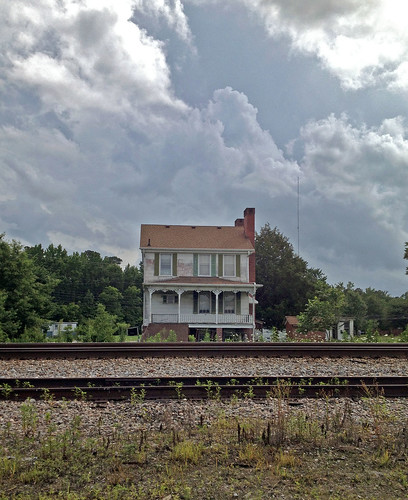
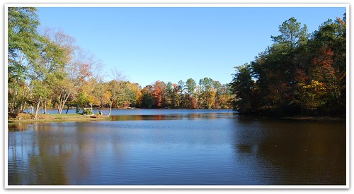
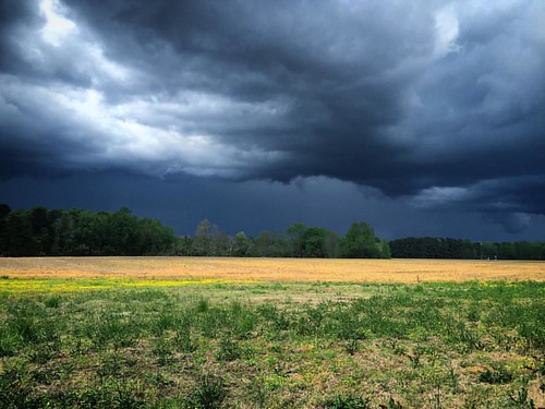
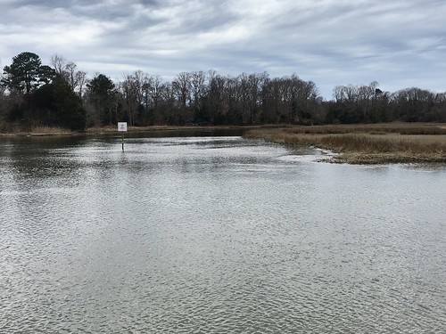
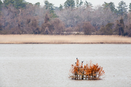
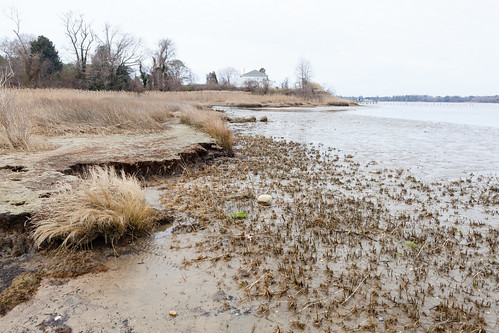
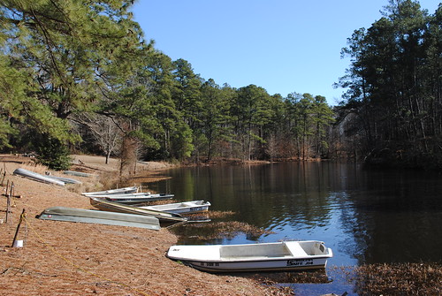
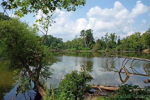
Elevation of Lake Point Road, Lake Point Rd, Suffolk, VA, USA
Location: United States > Virginia > Suffolk >
Longitude: -76.6406919
Latitude: 36.7942576
Elevation: 22m / 72feet
Barometric Pressure: 0KPa
Related Photos:
Topographic Map of Lake Point Road, Lake Point Rd, Suffolk, VA, USA
Find elevation by address:

Places near Lake Point Road, Lake Point Rd, Suffolk, VA, USA:
Lake Prince Dr, Suffolk, VA, USA
Old Myrtle Rd, Suffolk, VA, USA
6264 Old Myrtle Rd
20719 Murphy Mill Rd
10000 E Windsor Blvd
11455 Blue Ridge Trail
Windsor
1 N Court St, Windsor, VA, USA
Windsor
Courthouse Hwy, Windsor, VA, USA
Isle Of Wight
8518 Fire Tower Rd
28059 Dardens Mill Rd
7651 Whispering Pines Trail
5228 Duck Town Rd
Carrsville
Joyners Bridge Rd, Carrsville, VA, USA
Line Pine Rd, Franklin, VA, USA
Berlin And Ivor
Ivor
Recent Searches:
- Elevation map of Greenland, Greenland
- Elevation of Sullivan Hill, New York, New York, 10002, USA
- Elevation of Morehead Road, Withrow Downs, Charlotte, Mecklenburg County, North Carolina, 28262, USA
- Elevation of 2800, Morehead Road, Withrow Downs, Charlotte, Mecklenburg County, North Carolina, 28262, USA
- Elevation of Yangbi Yi Autonomous County, Yunnan, China
- Elevation of Pingpo, Yangbi Yi Autonomous County, Yunnan, China
- Elevation of Mount Malong, Pingpo, Yangbi Yi Autonomous County, Yunnan, China
- Elevation map of Yongping County, Yunnan, China
- Elevation of North 8th Street, Palatka, Putnam County, Florida, 32177, USA
- Elevation of 107, Big Apple Road, East Palatka, Putnam County, Florida, 32131, USA
- Elevation of Jiezi, Chongzhou City, Sichuan, China
- Elevation of Chongzhou City, Sichuan, China
- Elevation of Huaiyuan, Chongzhou City, Sichuan, China
- Elevation of Qingxia, Chengdu, Sichuan, China
- Elevation of Corso Fratelli Cairoli, 35, Macerata MC, Italy
- Elevation of Tallevast Rd, Sarasota, FL, USA
- Elevation of 4th St E, Sonoma, CA, USA
- Elevation of Black Hollow Rd, Pennsdale, PA, USA
- Elevation of Oakland Ave, Williamsport, PA, USA
- Elevation of Pedrógão Grande, Portugal

